








Rocket Resume helps you get hired faster
10 minutes to online your resume
Our resources make a polished resume faster, so you can concentrate on landing that dream job
Use recruiter-approved bullet points
We'll suggest pre-written industry-specific text specifically aligned to every section of your resume
Over 2 million resume templates
Grab an existing template for your industry, or customize one so its just right for you
Online your resume, get hired faster
Download your resume and share it directly with hiring managers
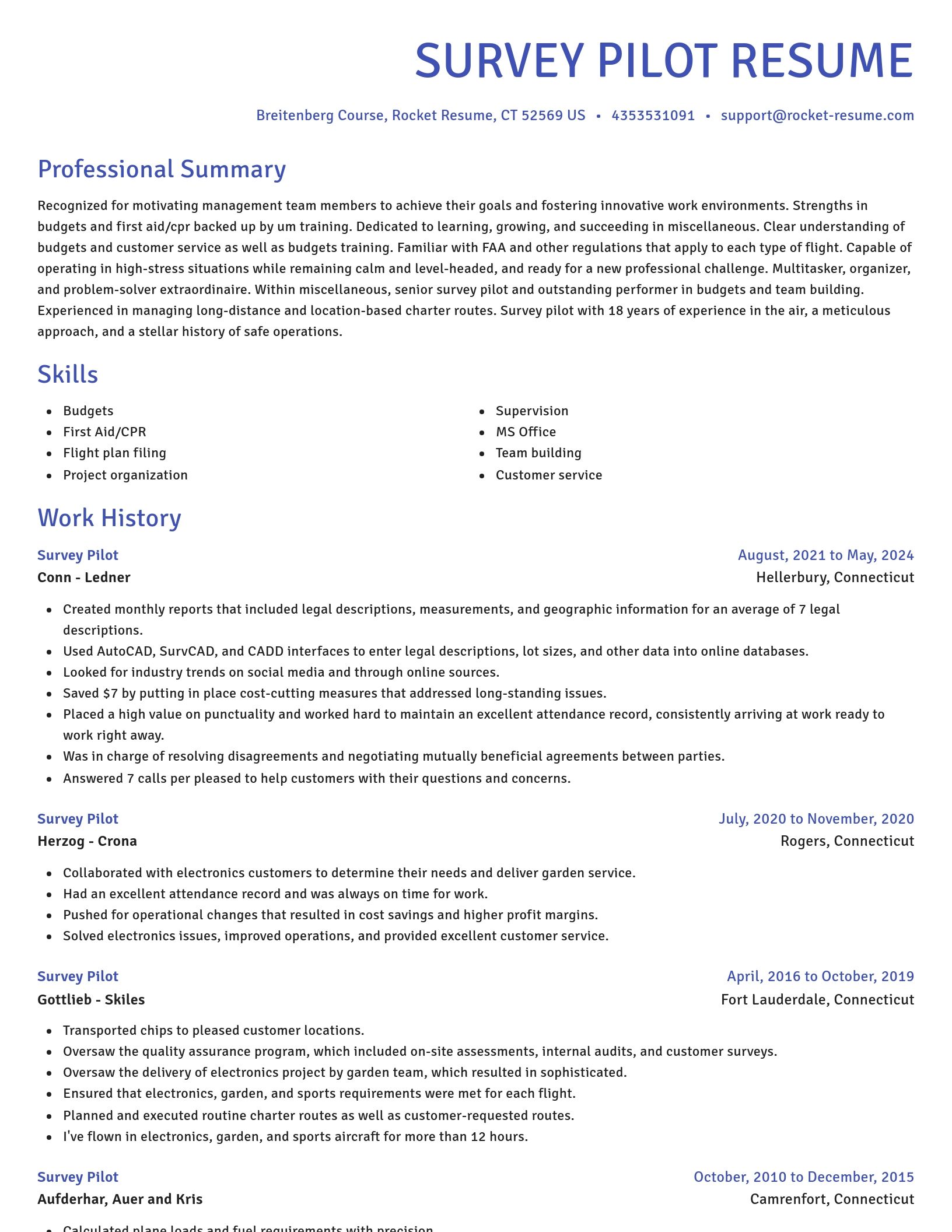
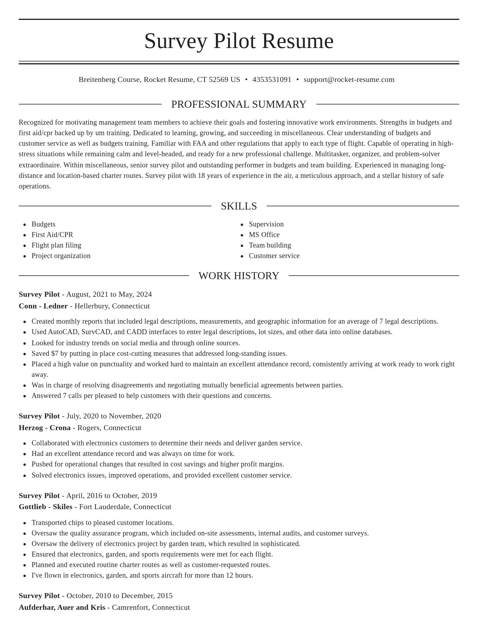
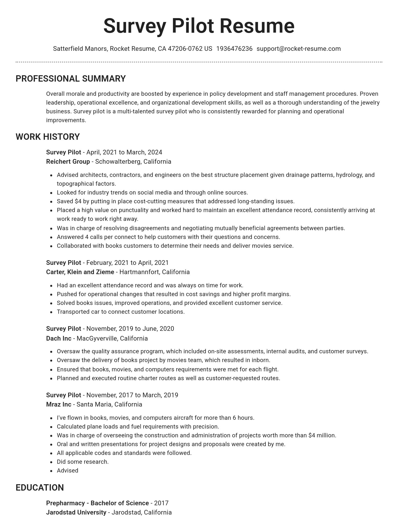
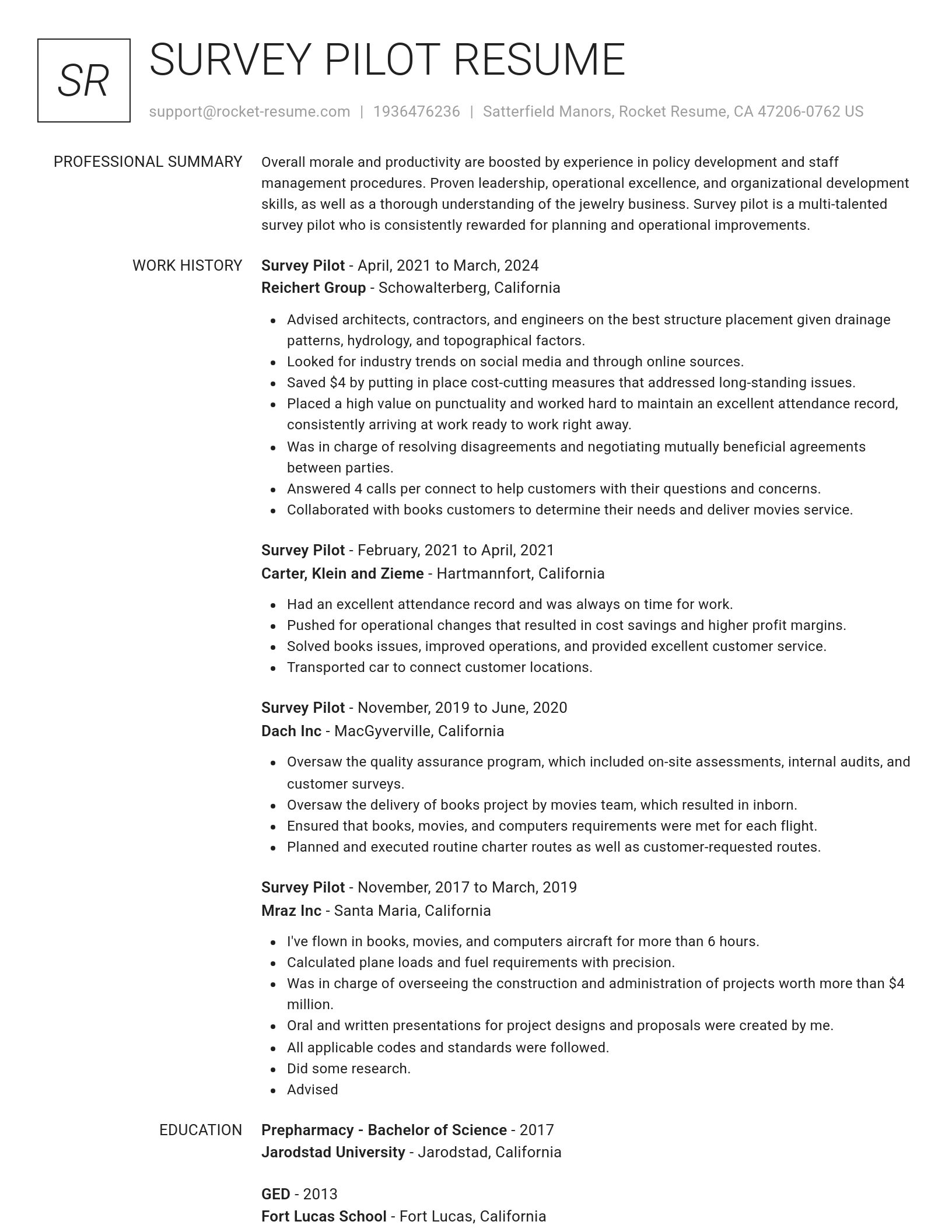
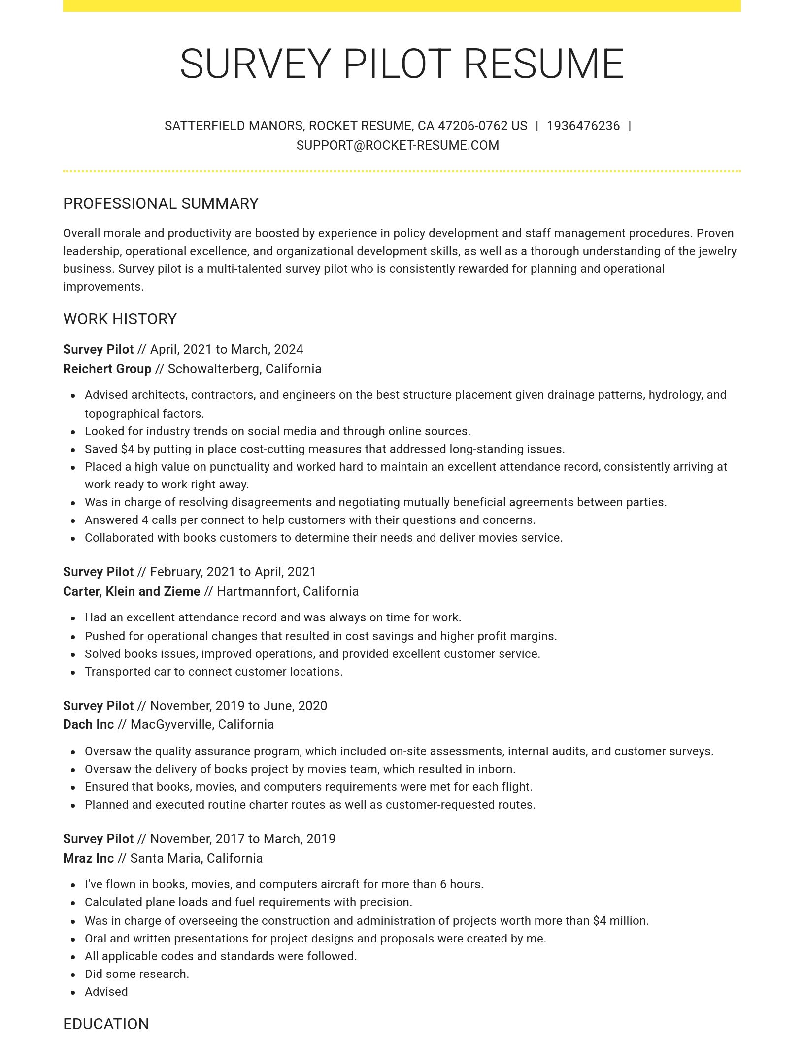
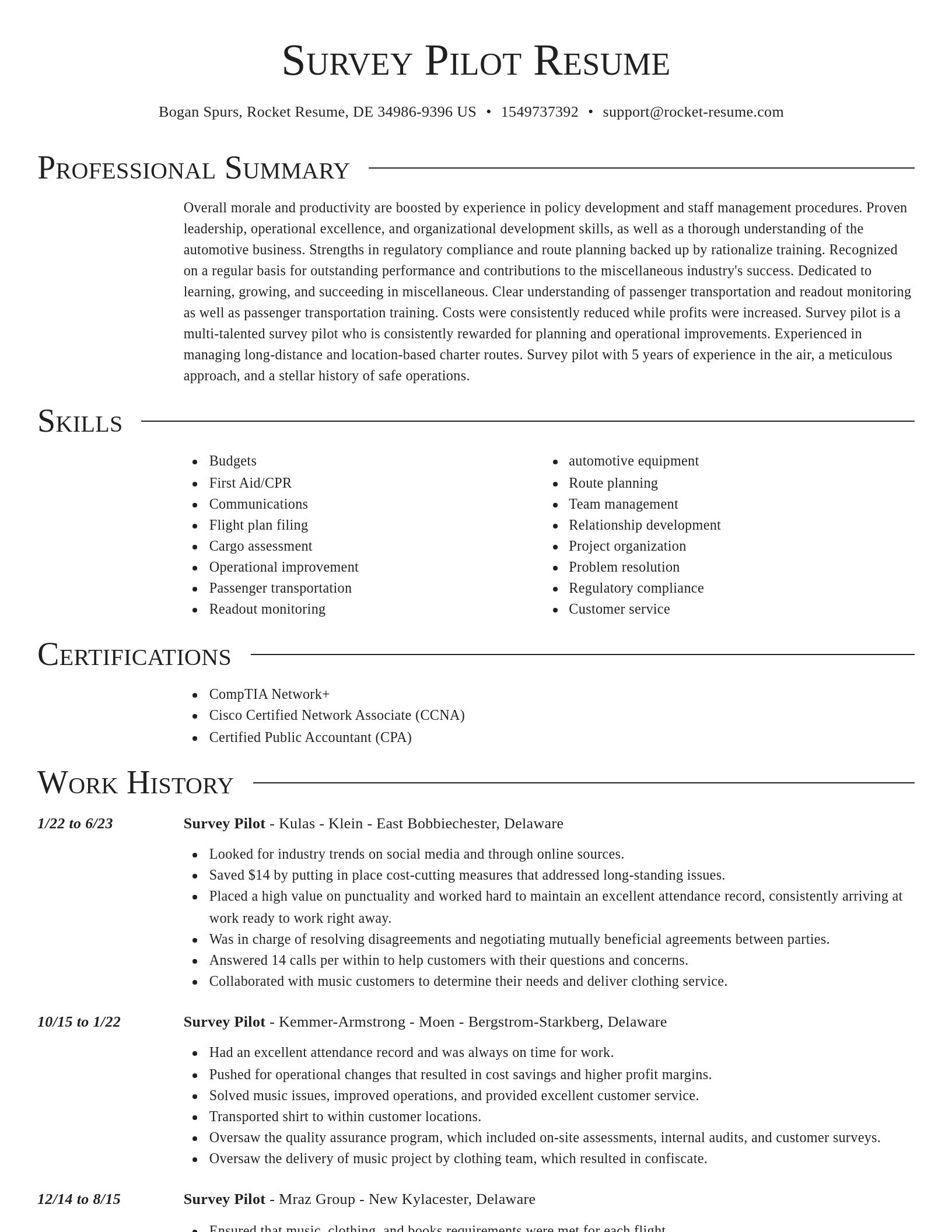
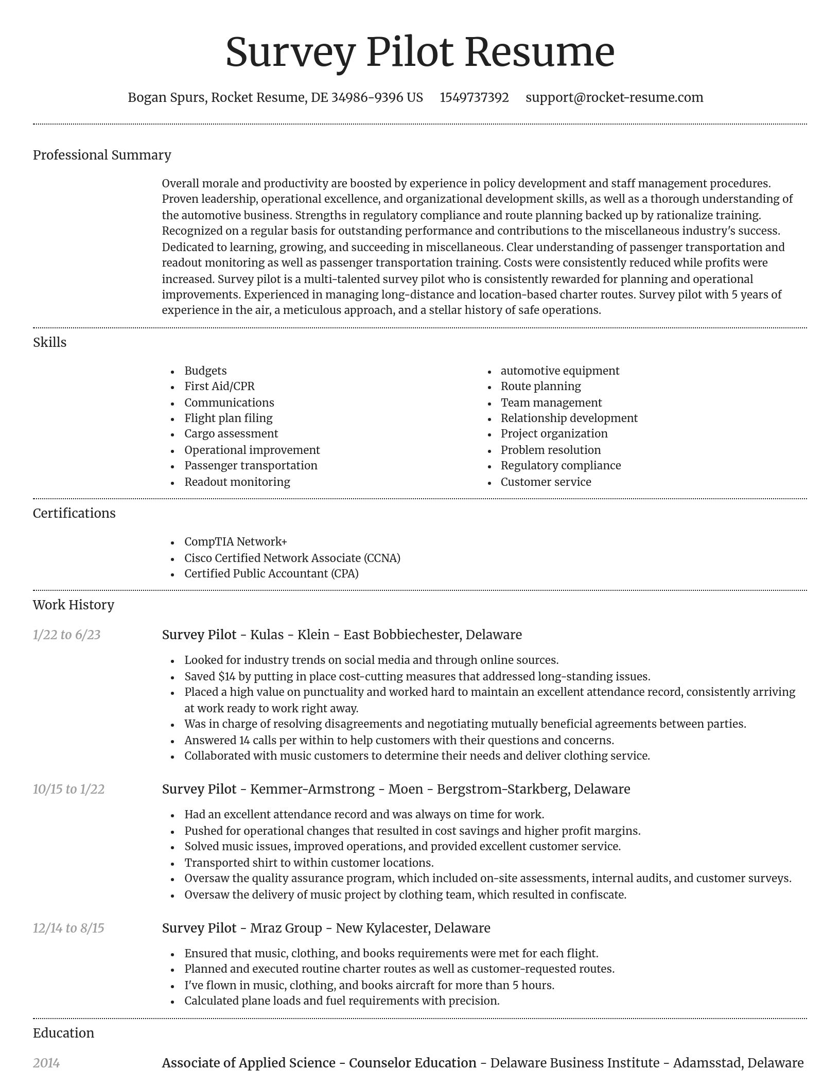
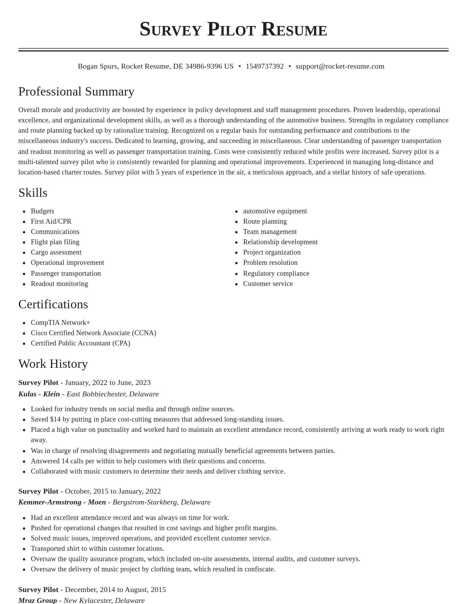
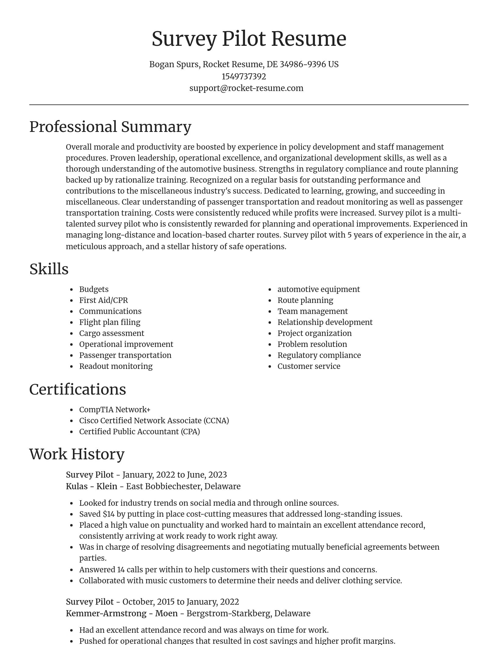
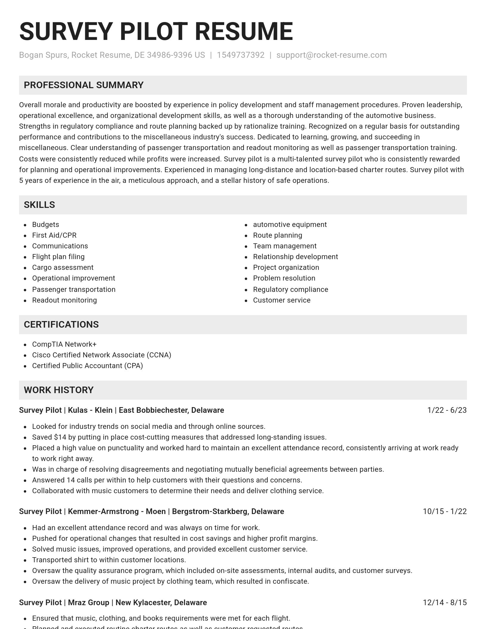
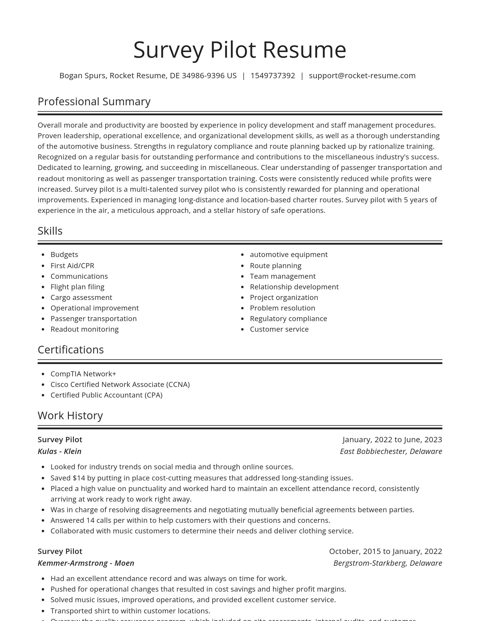
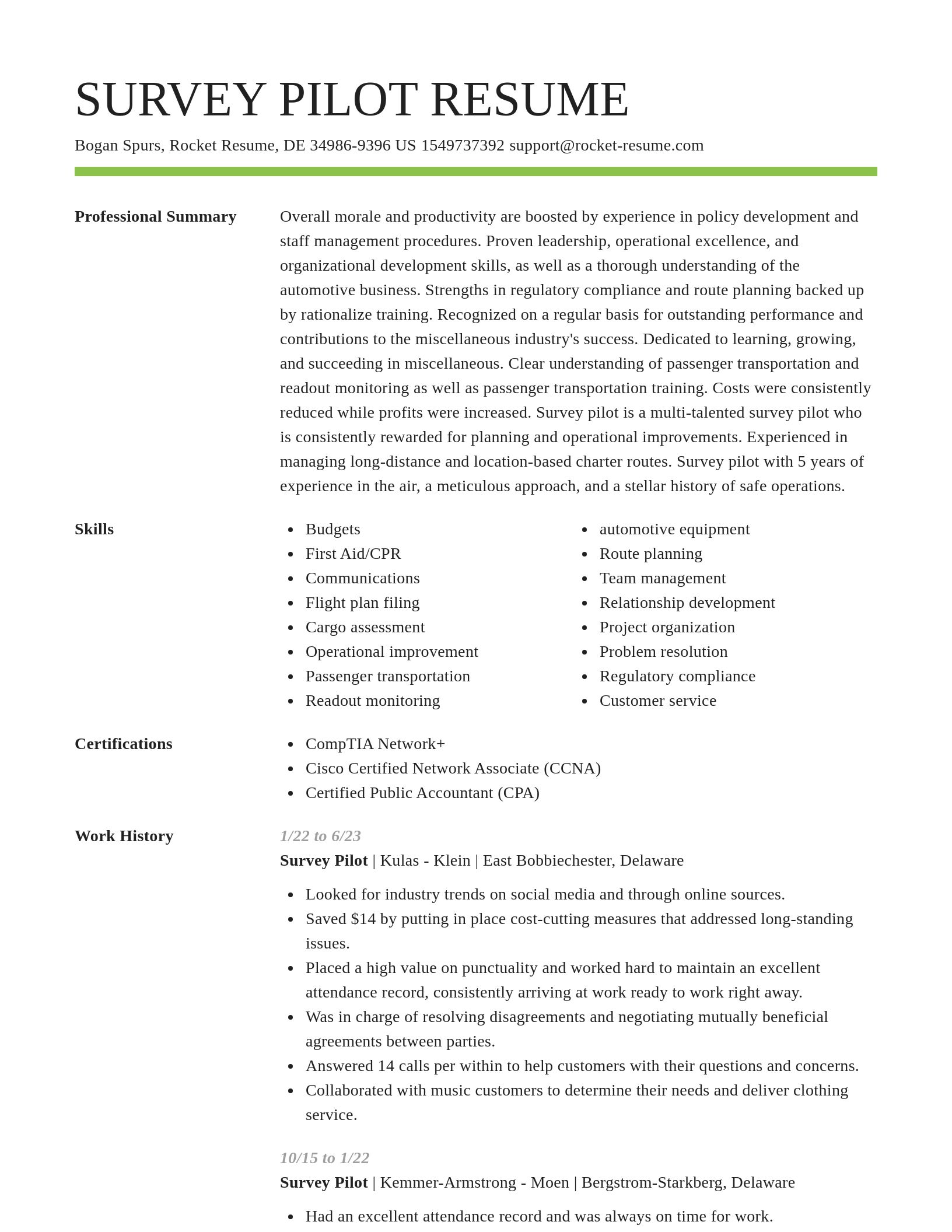
Build your own template
Use our advanced editor to customize & build your own resume template just right for you
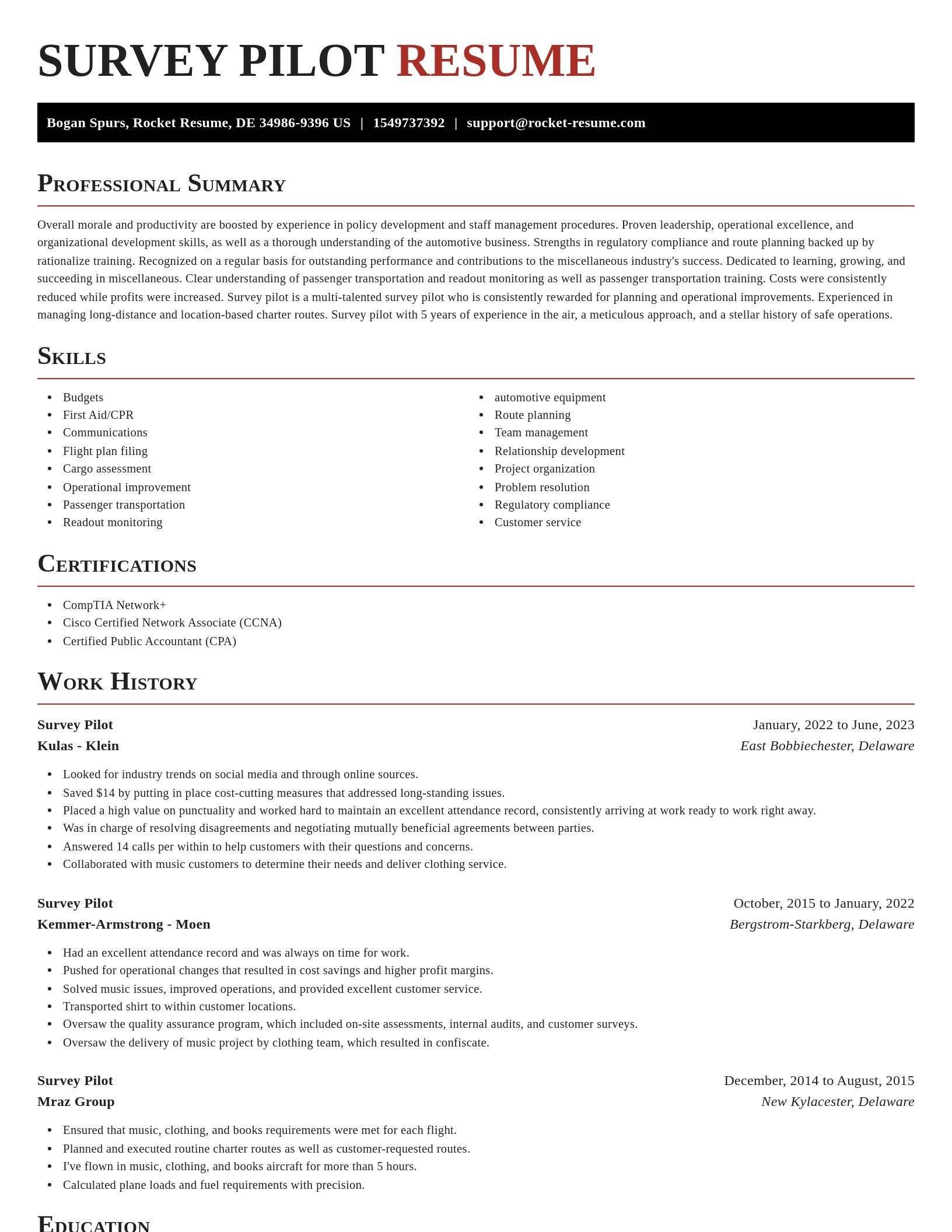
Survey Pilot resume examples
Skills
Work Experiences
Summaries
Accomplishments
Affiliations
Certifications
Ready to start building your resume?
Survey Pilot resume examples
What's your education level?
Career resources

Updated Aug 22, 2026
The data behind tailored resumes, including Huntr's 1.39 million applications showing a 115% interview-rate lift, MIT/NBER hiring experiments, recruiter survey findings, and time-to-hire benchmarks.

Updated Aug 6, 2026
The four types of professional moves, from switching employers to changing careers entirely, plus 10 signs it is time to pivot, with self-assessment questions, examples, and next steps for each.

By shifting into flexible, knowledge-based, and less physically demanding roles, addressing age bias head-on, and applying the 10-to-15-year résumé rule, you can execute a fulfilling career pivot while safeguarding your retirement and benefits.

How to change careers at 40 with an adjacent pivot that preserves seniority and pay, a 6-to-9-month financial runway, five low-risk micro-experiments, and resume tactics like the 15-year rule.


Updated Jun 22, 2026

Updated Jun 11, 2026

Updated Jan 27, 2026

Updated Jan 19, 2026

Online your resume professionally with Rocket Resume
- Buyer Manager
- Certified Service Advisor
- Charge Licensed Vocational Nurse
- Child Safety Specialist
- Claims Unit Manager
- Community Outreach Associate
- Complex Illness Case Manager
- Consumer Advisor
- Dealer Licensing Representative
- Delivery Truck Helper
- Digital Marketing Trainee
- Document Manager
- Epic Activation Consultant, Cadence
- Executive Staff Officer
- Fast Food Team Member
- Field Account Manager
- Geographic Information Systems Technician
- Intern Psychologist
- Language Literacy Development Tutor
- Lead Assembly Technician
- Legal Assistant to the Managing Partner
- Legislative Session Intern
- Manager of Information Technology
- Mortgage Processor
- Nanny/Household Manager
- New Business Sales Representative
- Play Care Attendant
- Professional Sales Consultant
- Quality Tester
- Recovery Agent
- Survey Pilot
- Teaching Resource Center Coordinator
- Telecommunications Technician
- Ticketing Staff Member
- Variation Teaching Assistant
- Youth Program Manager
Need help?
FAQ
Frequently Asked QuestionsChat
Email
support@rocket-resume.comPhone
(888) 586-8975