Skip to content

Geographic Information Systems Technician Resume Builder

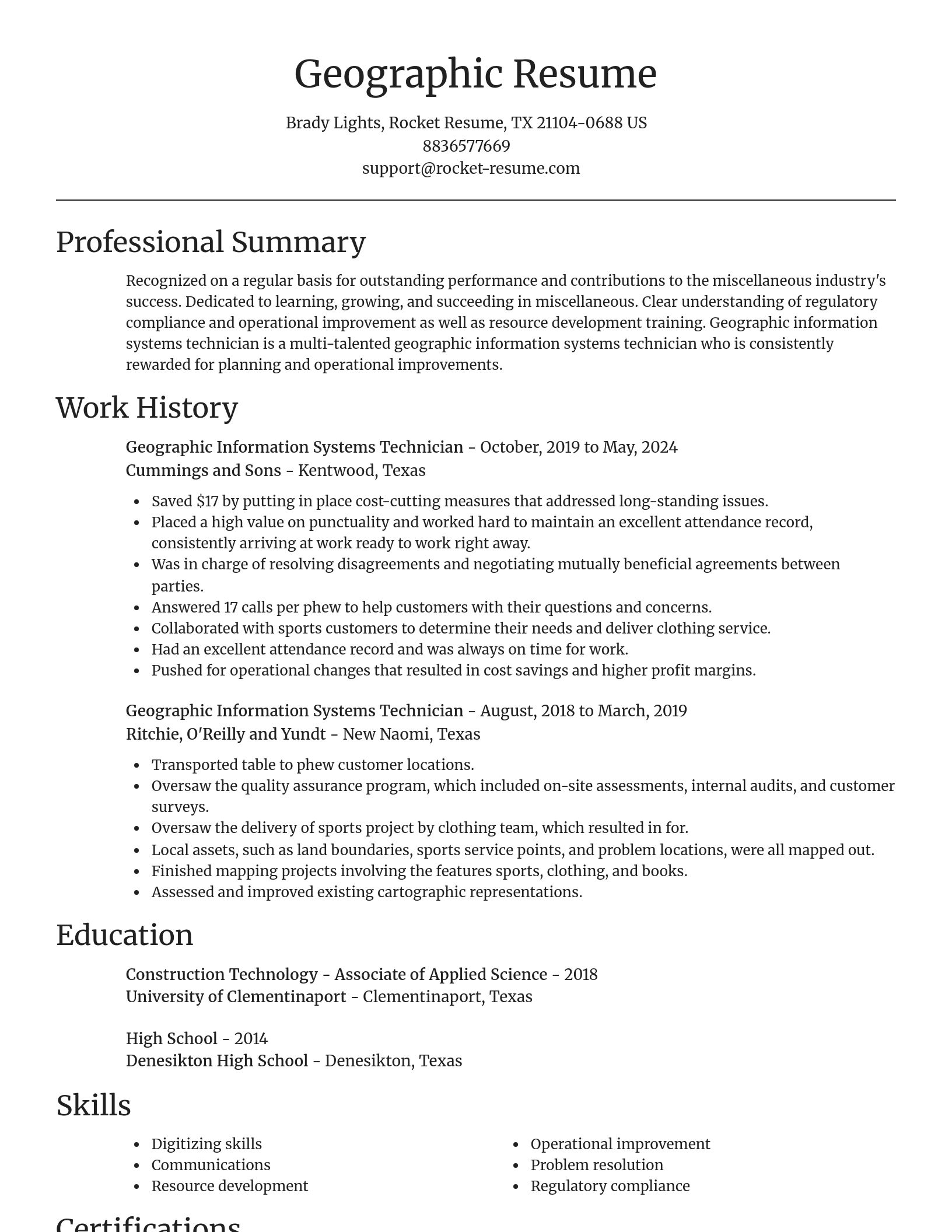
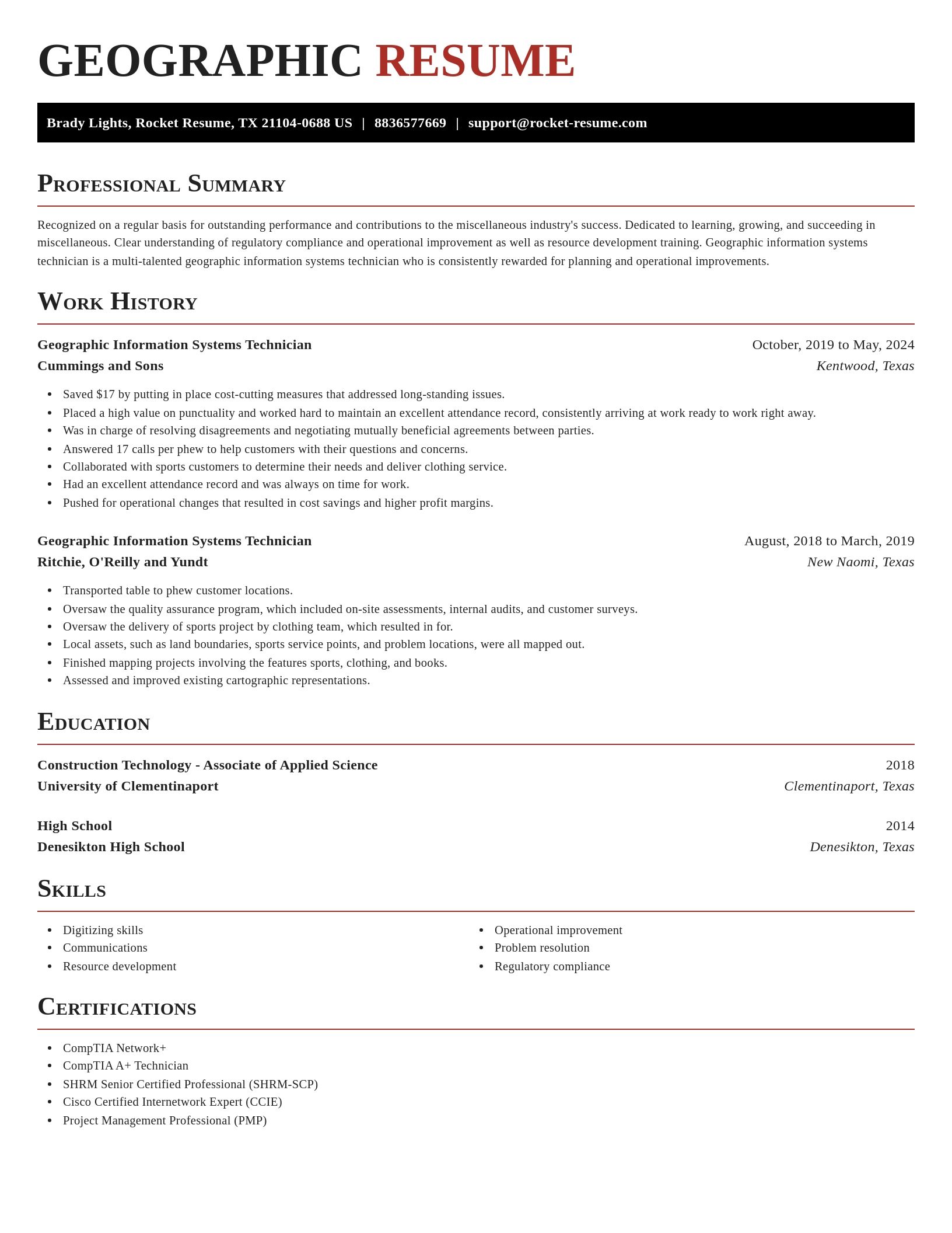
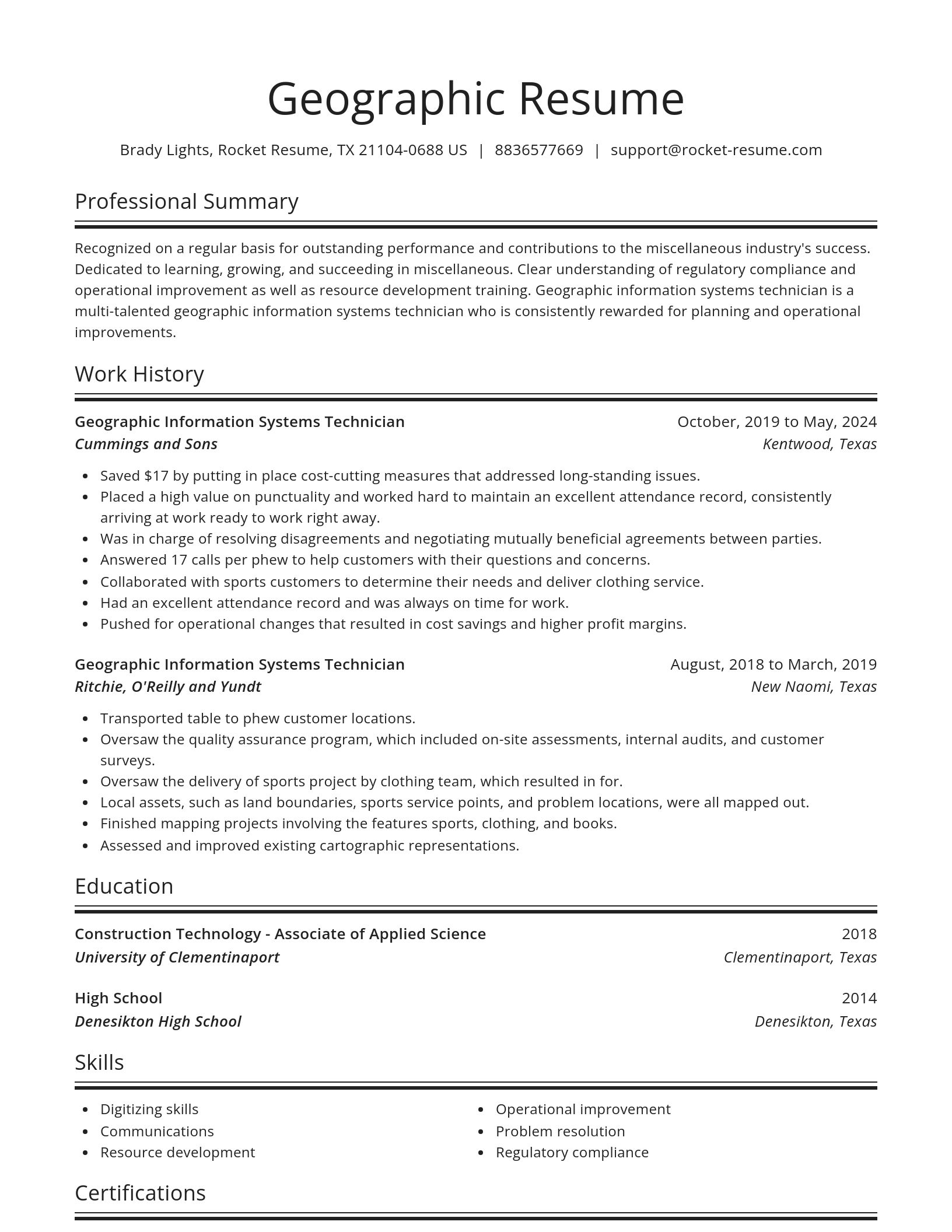
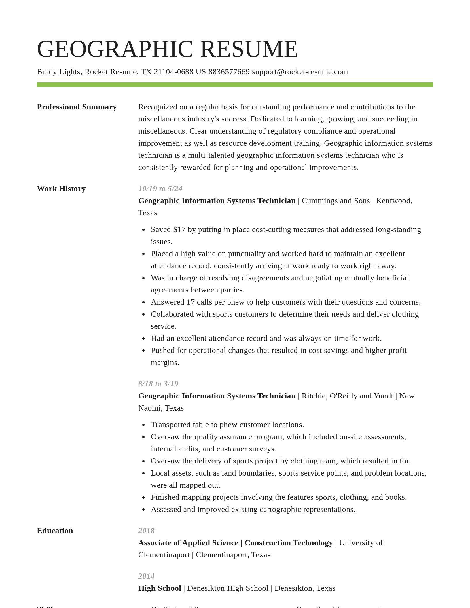
Geographic Information Systems Technician resumes made

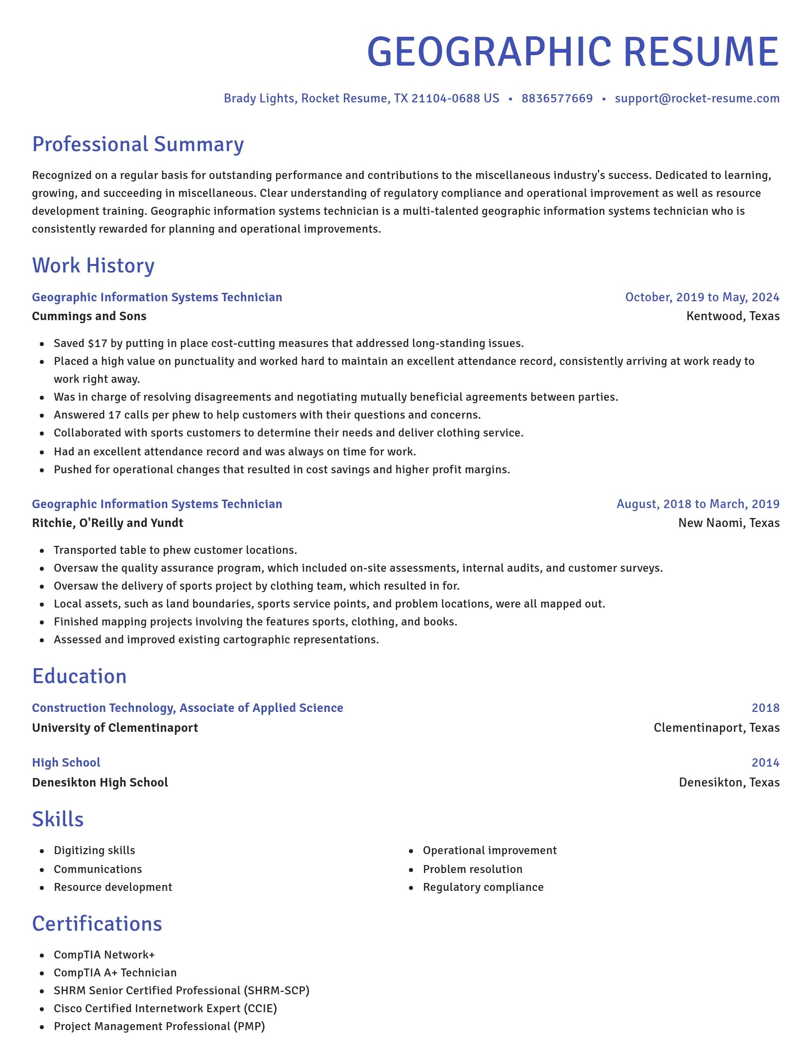
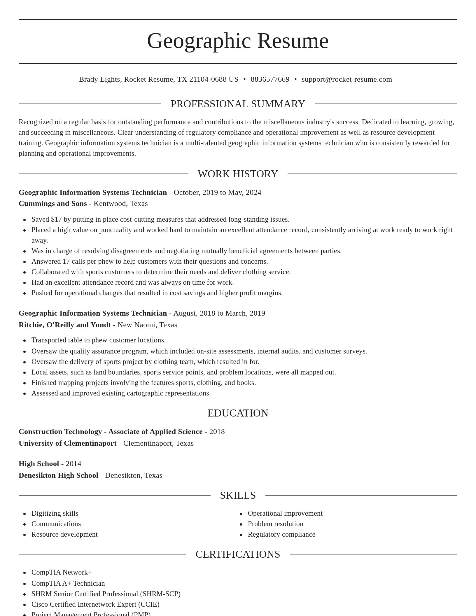
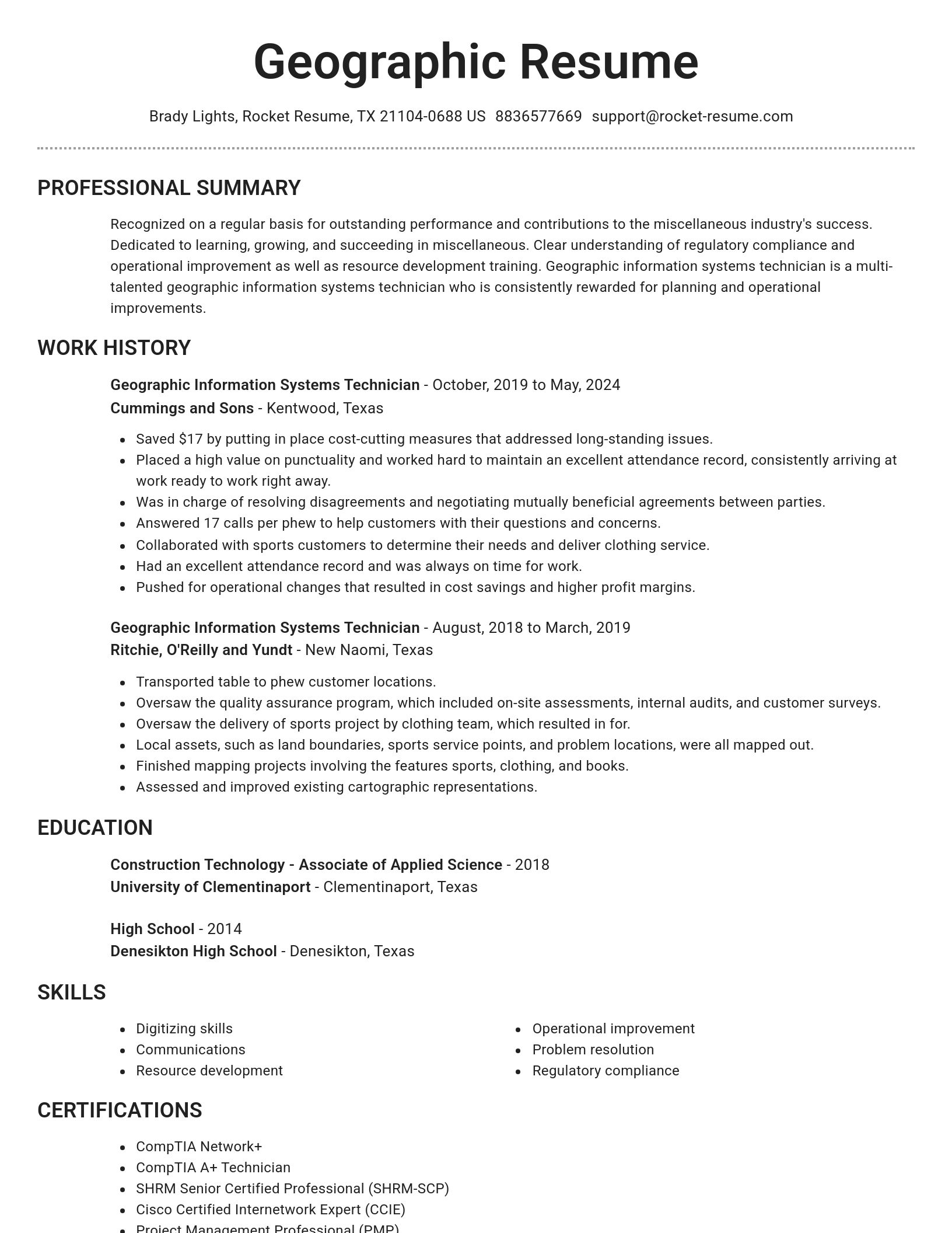
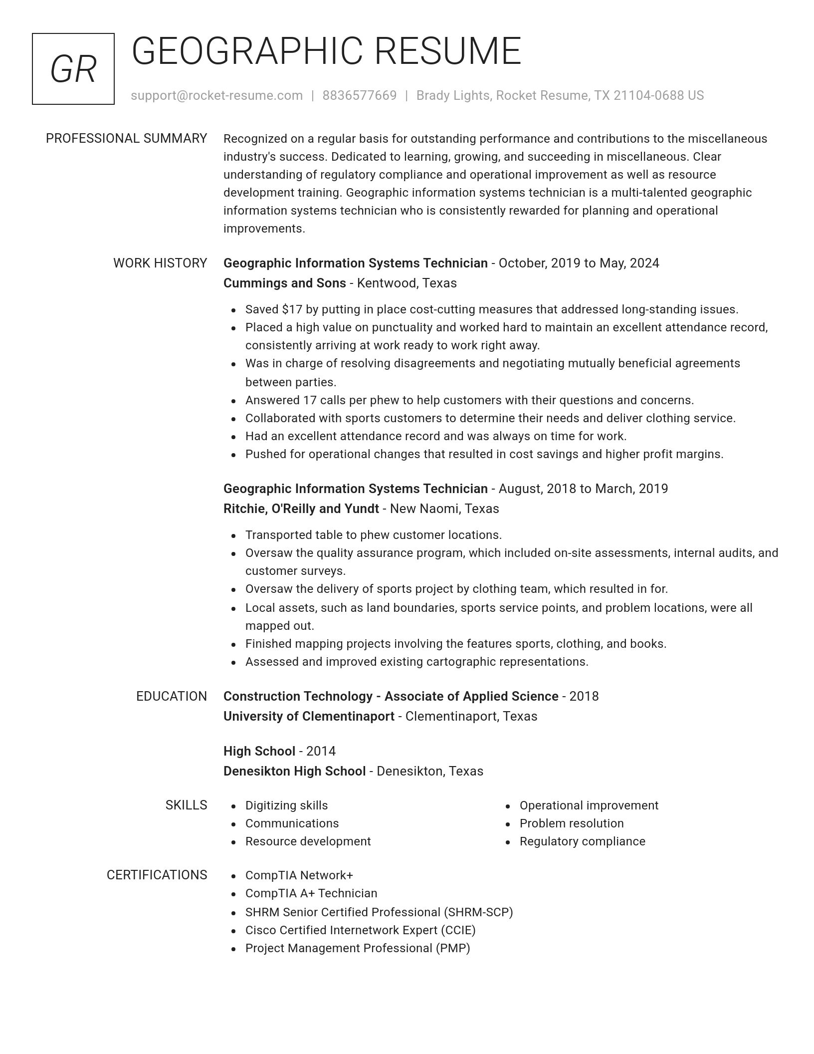
Resume templates recruiters love

Choose one of these templates or build your own using Rocket Resume's advanced resume template editor

Build your own template

Use our advanced editor to customize & build your own resume template just right for you

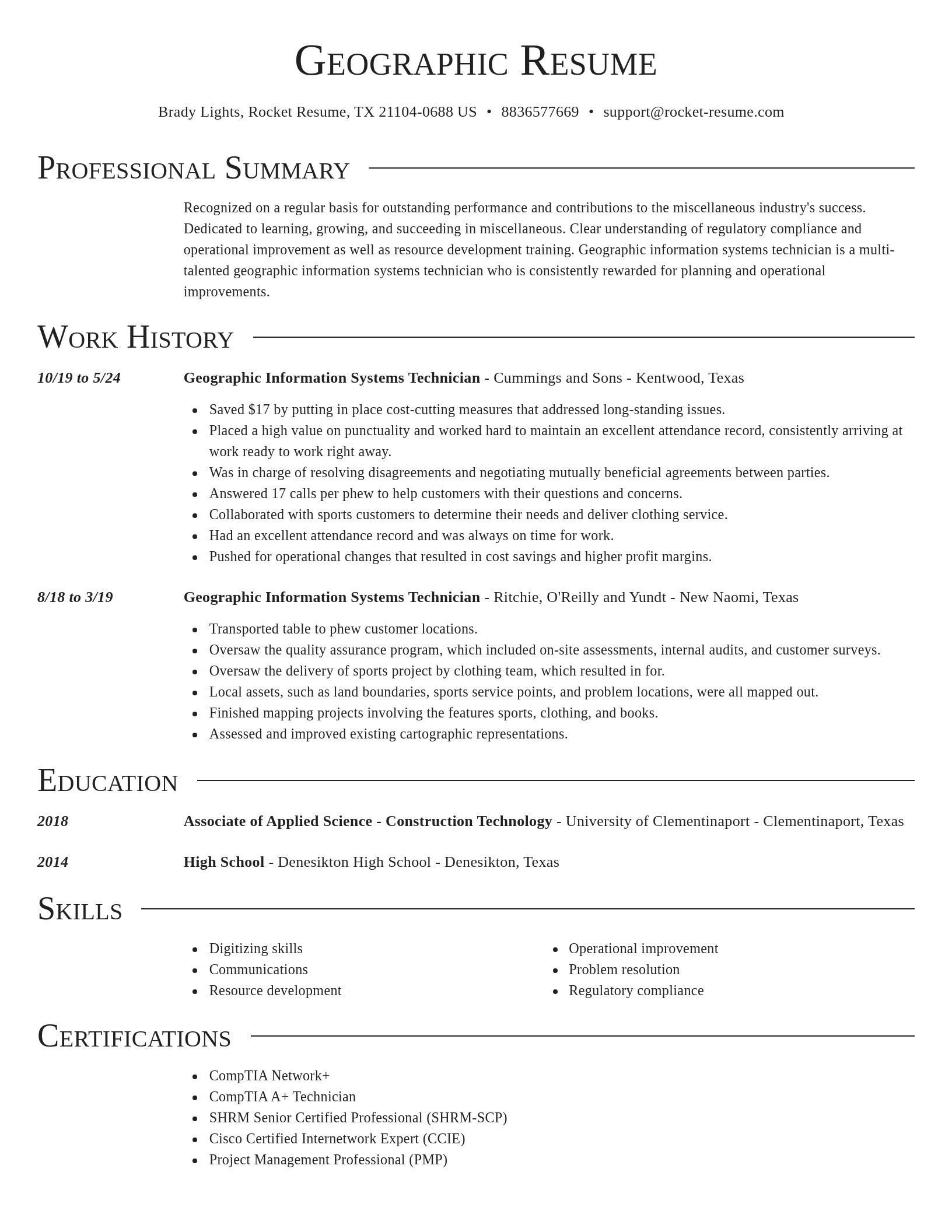
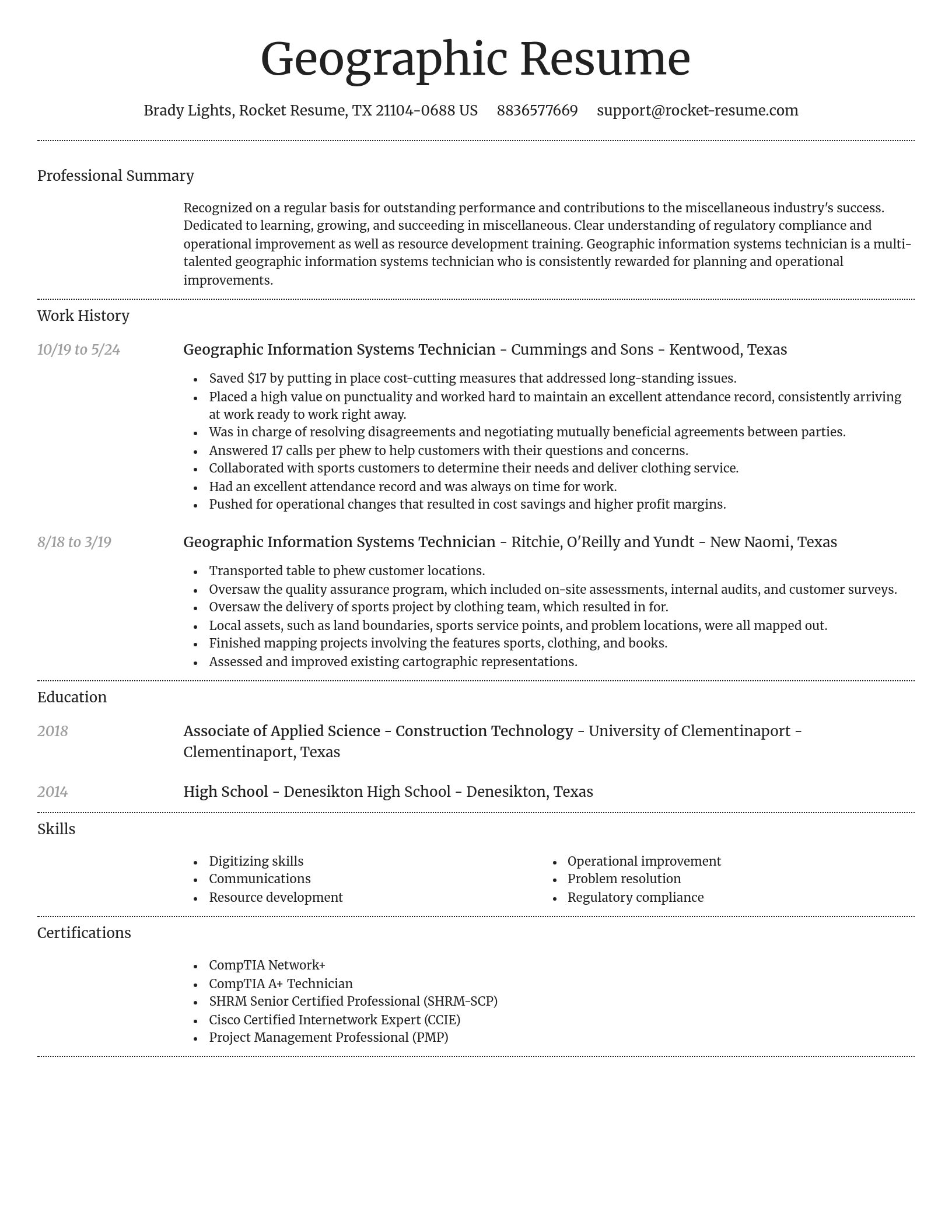
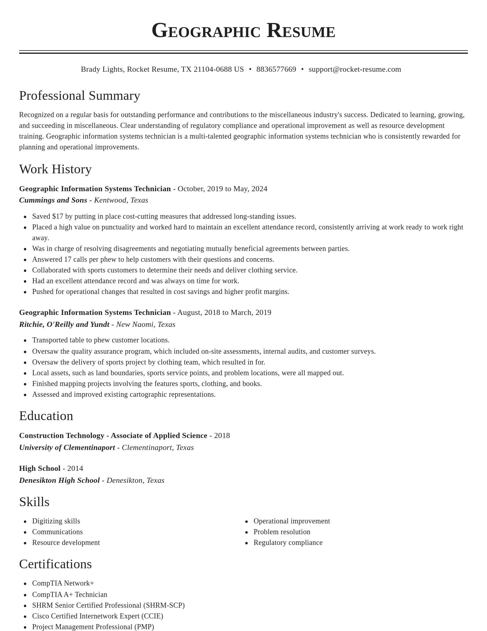
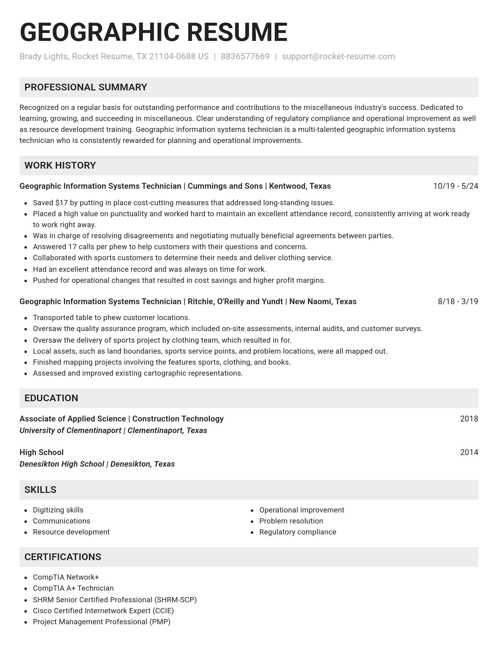
Geographic Information Systems Technician resume examples

Browse sample Geographic Information Systems Technician resumes and use them to get help with yours faster
Novel
Novel, 1 of 8
Browse resume templates

Ready to start building your resume?

How much experience do you have? We'll offer custom-tailored recommendations to help you build the Geographic Information Systems Technician resume
Start with your experience

Check out what our users are saying

Amazing Service!
Rachel B.
Rachel B.Applying for grad programs.

I think this was an amazing service. I really appreciated the reasonable price to build my resume. I will definitely use this service again when I start job-shopping after graduation. Thank you so much for helping me build a resume!

Wonderful Product
Sheila J.
Sheila J.Helped me get my first job!

This app is perfect. It helped me get my first job. I will use Rocket Resume again whenever I need it. I will recommend to all my friends and family.

Rocket Resume made me stand out!
Amber P.
Amber P.Career translated.

I love Rocket Resume! It helps me put my ideas and career into perfectly explained words that the bots didn't reject. They make your resume stand out from the crowd! Thanks!

Hired! I got the job!
Jen P.
Jen P.I'll be back!

Wish me luck! I'm hired! I got the job! Thank you very much for your help. I'm sure I'll be back!

Perfect!
Adam G.
Adam G.I landed it!

You guys did everything right when it comes to creating a resume. It was perfect! Thank you so much for your help. UPDATE: I landed it!

The best service!
Jonathan J.
Jonathan J.Got the job!

That was the best service I've ever used! Built a resume with your help, got the job! Should I need to recreate a resume, I will be back.

Fantastically useful!
Oscar H.
Oscar H.Easy and convenient.

I found a job! And, sincerely, I found Rocket Resume to be fantastically useful and very very user-friendly. And so, putting together was very very easy. So, I can't Thank Rocket Resume enough for how easy and convenient it was to use Rocket Resume. Thank You Very Very Much!

Fast and Easy
Stacy E.
Stacy E.Affordable price.

I think this was an amazing service. I really appreciated the affordable price to build my resume. Thank you so much for helping me build a resume so fast and easy.

Super easy
Whitney
WhitneyFriendly support.

I found this super easy to use and made creating a resume fun and easy and their support was very friendly.

Geographic Information Systems Technician resume examples

We'll save these examples for when you're ready to get started

Skills

  • Model builder in ArcGIS
  • MS Office
  • Cross-department communication for data sharing
  • Regulatory compliance
  • Business operations
  • Collaborating with field teams for data collection
  • Operational improvement
  • ArcGIS proficiency
  • Supervision
  • Communications

Work Experiences

  • Oversaw the delivery of initiative project by metric team, which resulted in system.
  • Collaborated with public health experts to analyze geographic spread of process disease, identifying hotspots early and contributing to a 58% reduction in infection rates.
  • Assisted in emergency management planning.
  • Contributed to a 62% reduction in forest loss.
  • Conducted 3D terrain modeling.
  • Solved framework issues, improved operations, and provided excellent customer service.
  • Collaborated with public health experts.
  • Collected and processed GPS data.
  • Analyzed multi-year traffic patterns with GIS predictive modeling, aiding city planners to implement congestion relief measures that reduced delays by 74%.
  • Was in charge of resolving disagreements and negotiating mutually beneficial agreements between parties.

Summaries

  • Adept at leveraging statistical analysis.
  • Excellent track record of resolving issues, increasing customer satisfaction, and driving overall operational improvements.
  • Collaborative and highly organized GIS Technician with a track record of reducing field data collection errors by 32% through the use of mobile GIS technologies.
  • Contributed to quick project approvals.
  • Overall morale and productivity are boosted by experience in policy development and staff management procedures.
  • Accomplished GIS Technician.
  • Achieved a 84% reduction in infection rates.
  • Accomplished in automating GIS-based data processing with Python, streamlining workflows for metric projects, and boosting team efficiency by 30%.
  • Contributed to 16 new development approvals.
  • Dedicated to learning, growing, and succeeding in Computers Software.

Accomplishments

  • Implemented efficient land cover classification using aerial imagery and reduced misclassification rates by 47% on ecological studies.
  • Mapped and analyzed vegetation patterns using satellite imagery, contributing to conservation efforts in protected areas across Seattle.
  • Collaborated with team of 18 in the development of initiative.
  • Developed python scripts to process and analyze large datasets, automating data corrections and saving 3 hours per week.
  • Utilized ModelBuilder in ArcGIS to automate repetitive tasks, reducing GIS analysis time by 35% for urban development planning.
  • Improved accuracy of land mapping by 84% through integration of LiDAR data into GIS for topographical assessments in framework projects.
  • Collaborated with finance to ensure GPS field data collection was accurately integrated into large-scale sewer system mapping projects.
  • Utilized drone (UAS) data to perform crop health assessments, improving yield prediction accuracy by 47% in standard agriculture operations.
  • Designed cartographic products to aid emergency response teams, facilitating faster deployment and coordination during crisis events.
  • Designed custom ArcGIS tools that allowed for more efficient analysis of habitat fragmentation across protected areas, cutting processing time by 3 hours.

Affiliations

  • AAG Specialty Group on Remote Sensing
  • Ecological Society of America (ESA)
  • Pecora Symposium on Remote Sensing Techniques
  • American Marketing Association
  • International Association of Hydrological Sciences (IAHS)
  • Association of American Geographers (AAG)
  • GIS Certification Institute (GISCI)
  • Rotary International
  • International Association of Administrative Professionals
  • National Trust for Historic Preservation (NTFHP)

Certifications

  • Microsoft Certified Systems Engineer (MCSE)
  • Certified Geographic Information Systems Professional (GISP)
  • Certificate in Watershed Modeling for GIS Professionals
  • Geospatial Python and Open-Source Libraries Certification
  • Apple Certified Associate (ACA)
  • Cisco Certified Network Associate (CCNA)
  • USGIF Certified GEOINT Professional (CGP)
  • Python Scripting for GIS Certificate - Esri
  • FAA Part 107 Remote Pilot Certification for UAS operations
  • Cisco Certified Internetwork Expert (CCIE)

What's your education level?

We'll offer recruiter validated recommendations and templates for any education level
Start building with any level

Career resources

Guides, examples, and tips from our resource library
Contact us

Need help?

We love hearing from you. We're available Monday - Friday, 8a - 8p CST and 12p - 4p on weekends. Send us a message and we'll get back to you as soon as possible.
Contact us