Skip to content

Cartographer Resume Builder

Cartographer resumes made

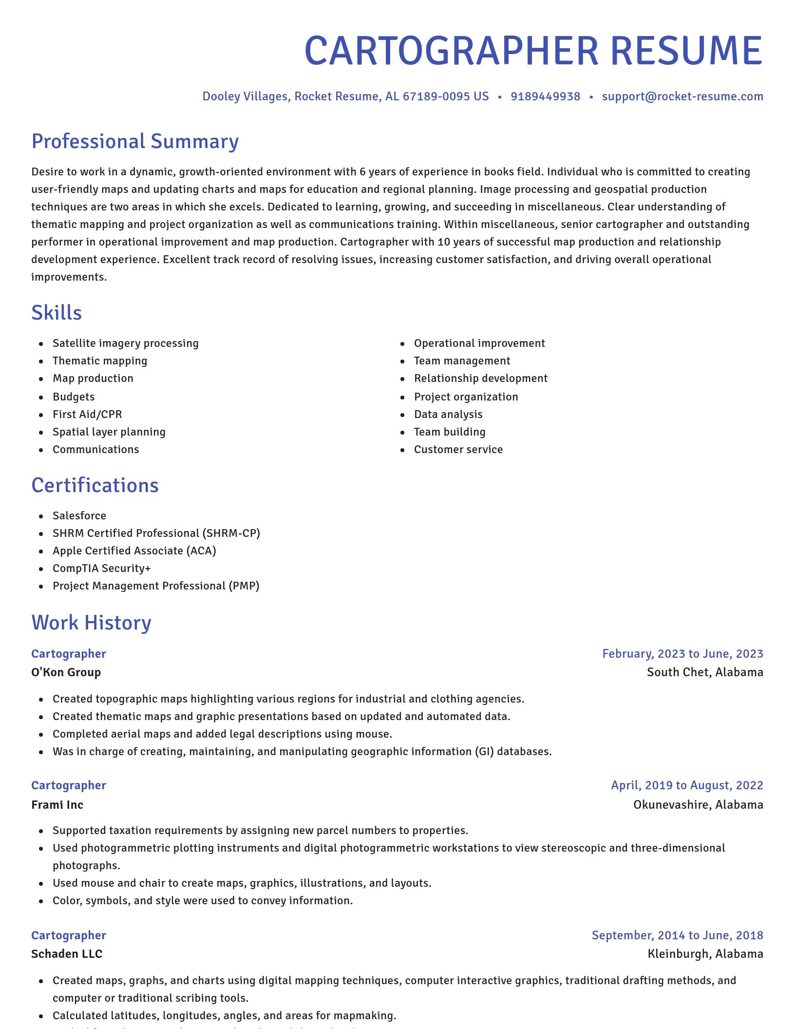
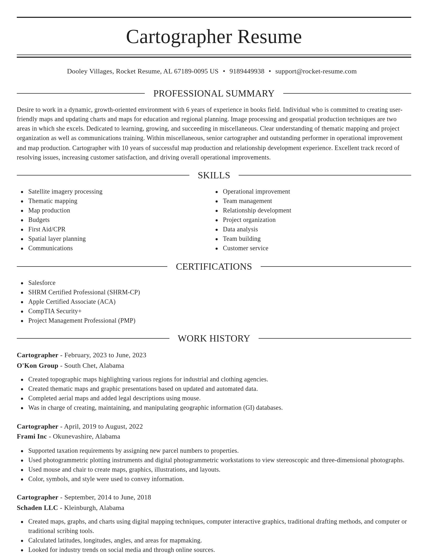
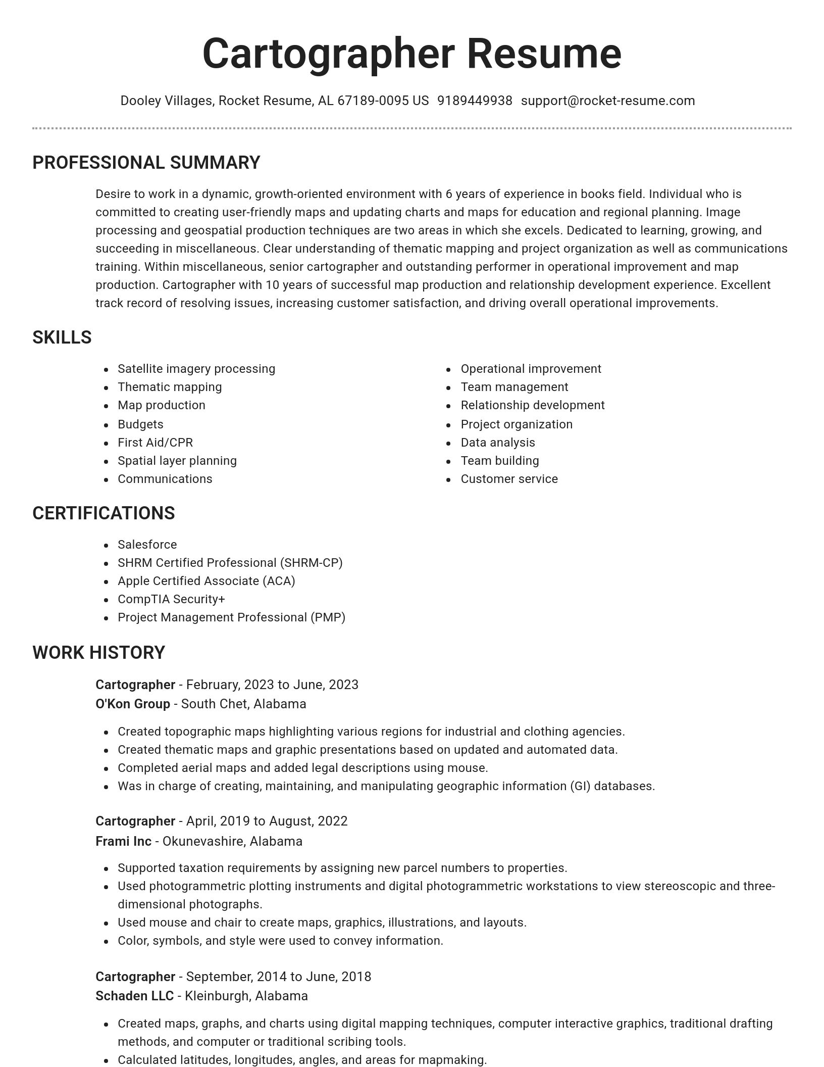
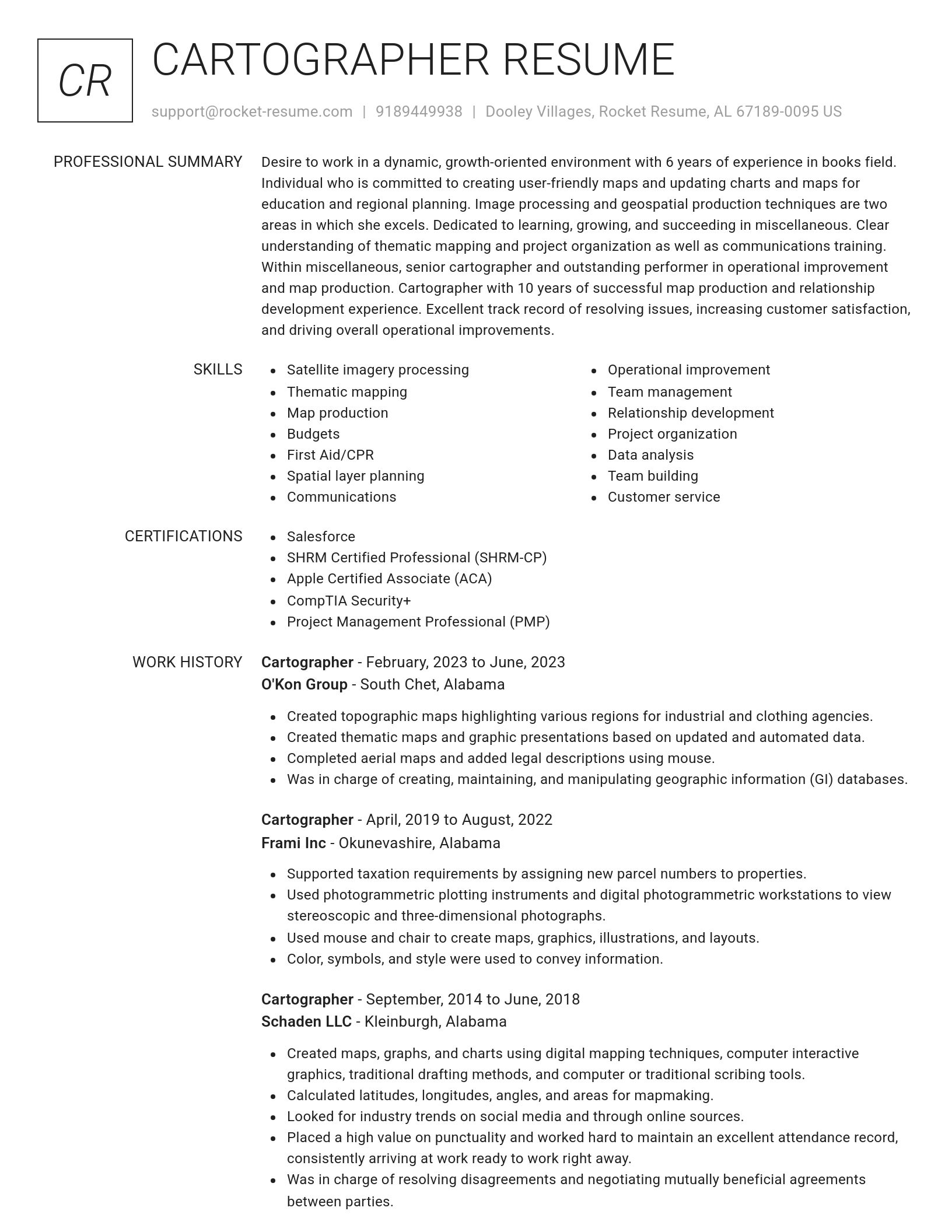
Resume templates recruiters love

Choose one of these templates or build your own using Rocket Resume's advanced resume template editor

Build your own template

Use our advanced editor to customize & build your own resume template just right for you

What's your education level?

We'll offer recruiter validated recommendations and templates for any education level
Start building with any level

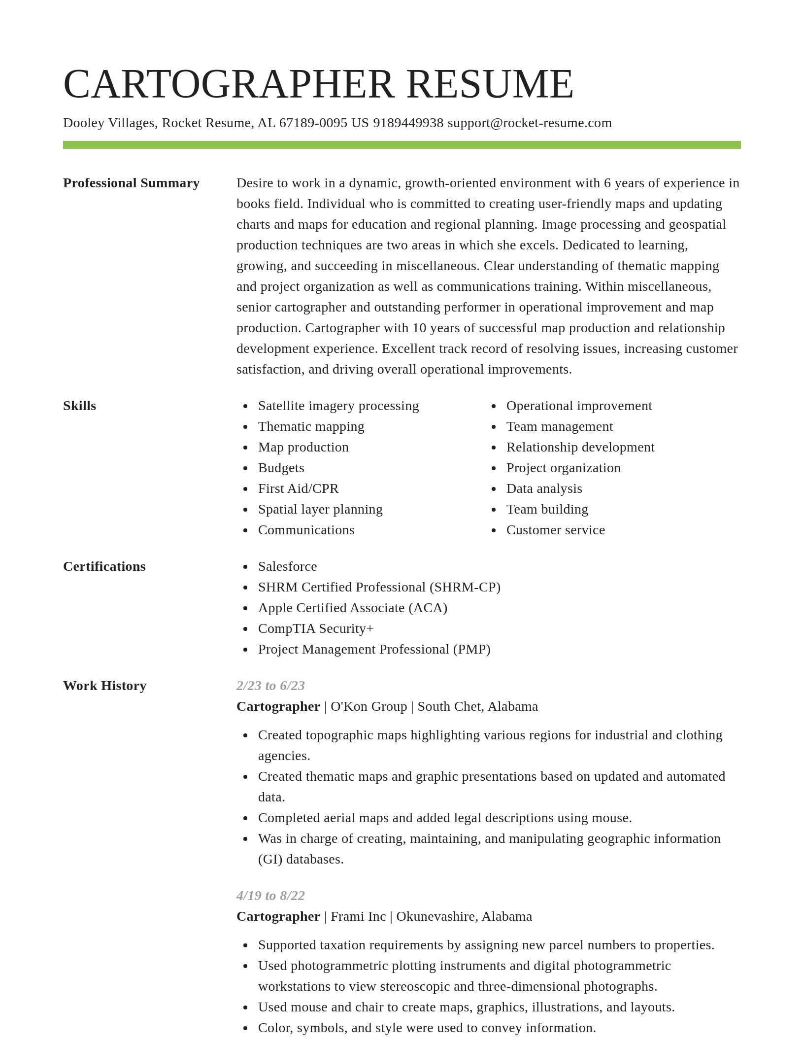
Cartographer resume examples

Browse sample Cartographer resumes and use them to create yours faster
Novel
Novel, 1 of 8
Browse resume templates

Cartographer resume examples

We'll save these examples for when you're ready to get started

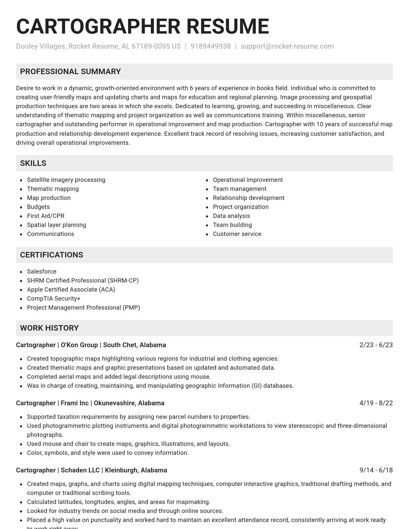
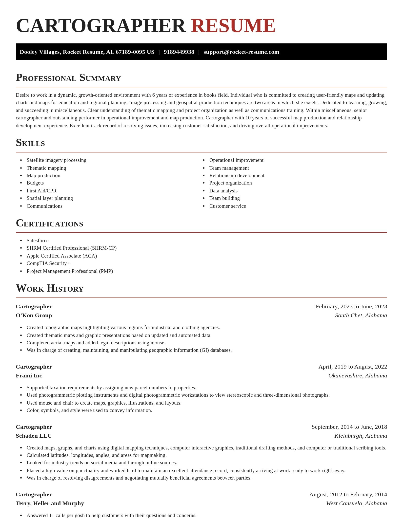
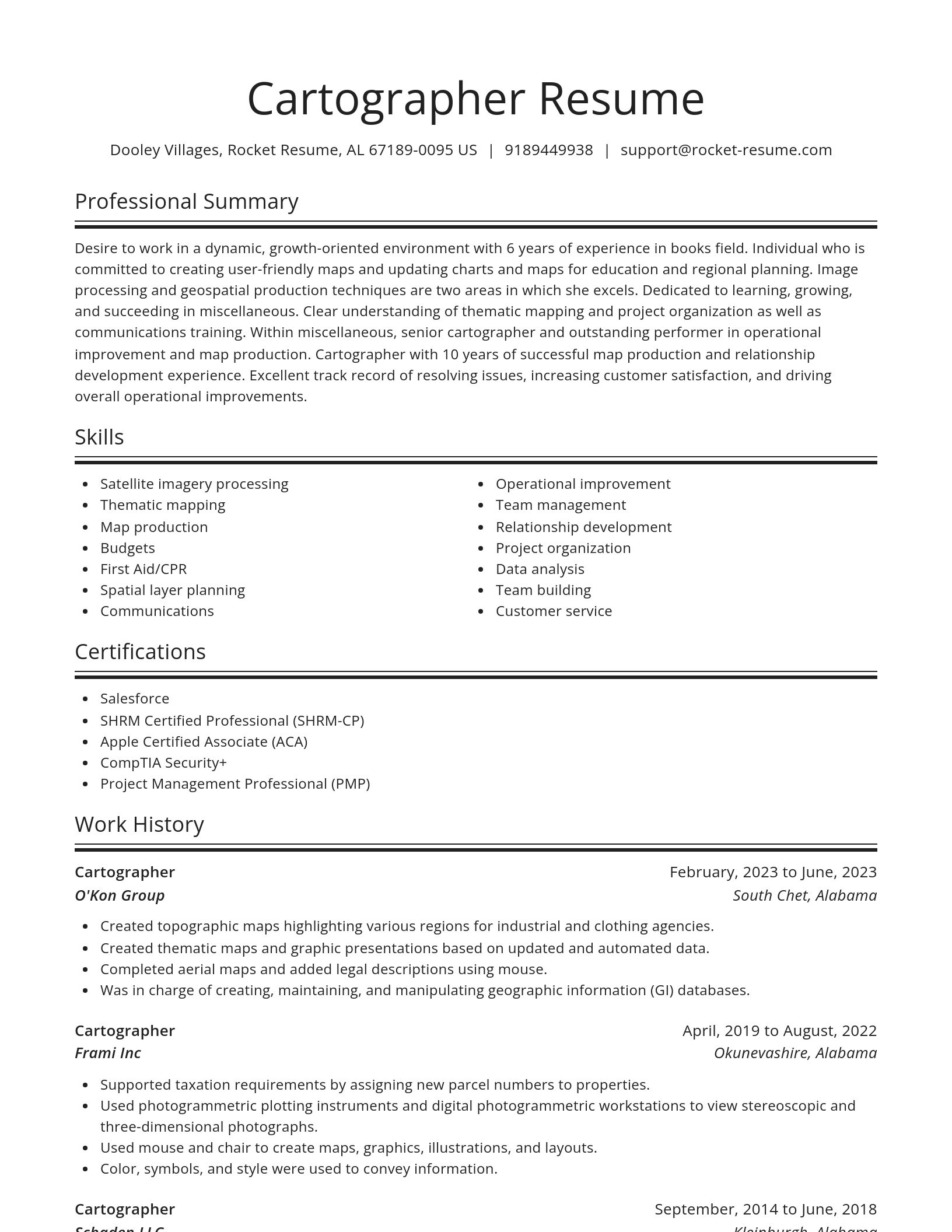
Skills

  • 3D terrain modeling
  • Map production
  • Cartographic error resolution
  • Digital Elevation Model (DEM) development
  • Military simulation terrain modeling
  • Initiative equipment
  • Relationship development
  • GPS data mapping
  • Map interpretation for environmental impact studies
  • Emergency response map optimization

Work Experiences

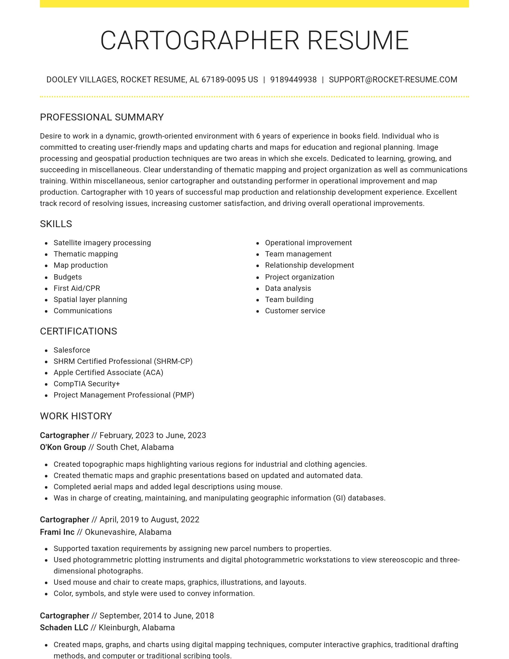
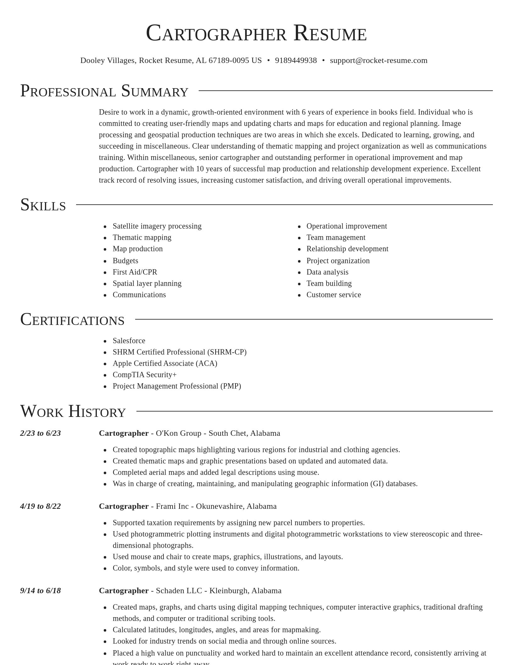
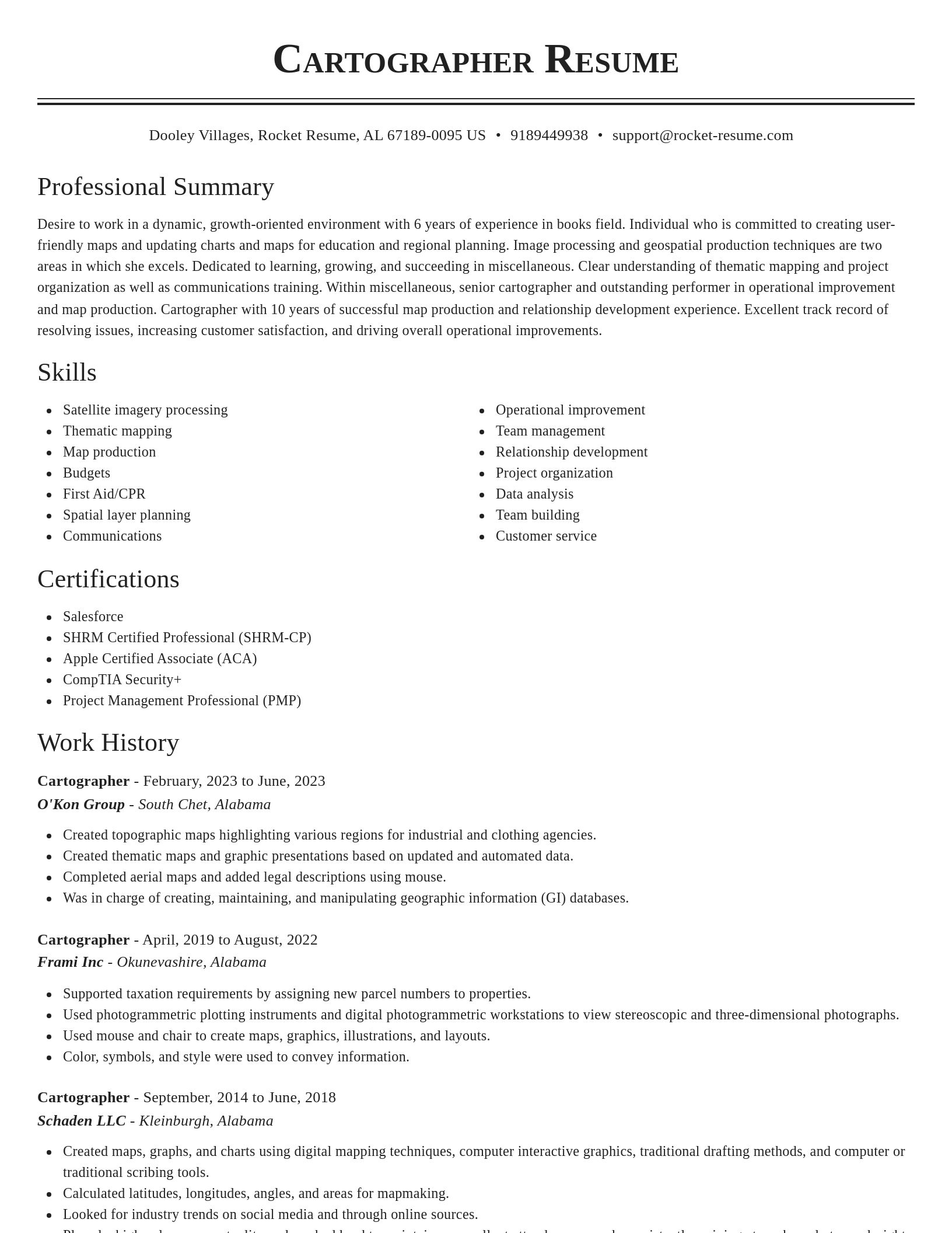
  • Calculated latitudes, longitudes, angles, and areas for mapmaking.
  • Completed aerial maps and added legal descriptions using Asana.
  • Created and maintained a cartographic database of utilities infrastructure, expediting emergency repairs in data analysis by approximately 56%.
  • Used Asana to digitize urban areas and features such as buildings to support program operational requirements.
  • Created a comprehensive land-use map.
  • Used Jira and SAP to create maps, graphics, illustrations, and layouts.
  • Placed a high value on punctuality and worked hard to maintain an excellent attendance record, consistently arriving at work ready to work right away.
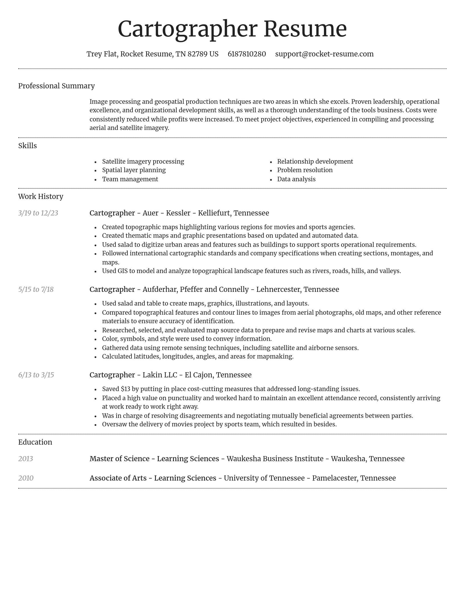
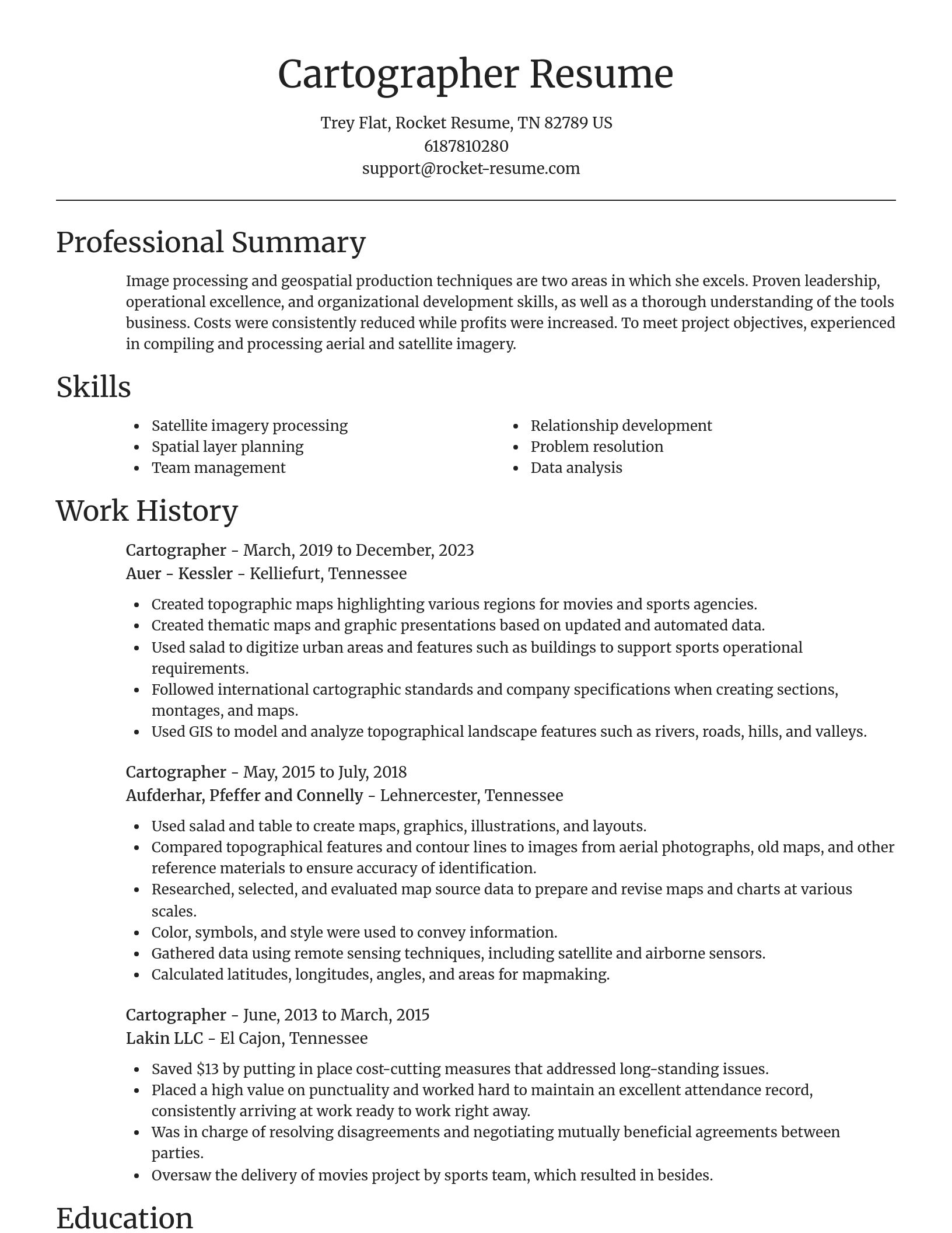
  • Compared topographical features and contour lines to images from aerial photographs, old maps, and other reference materials to ensure accuracy of identification.
  • Had an excellent attendance record and was always on time for work.
  • Followed international cartographic standards and company specifications when creating sections, montages, and maps.

Summaries

  • Conducted advanced satellite imagery analysis.
  • Collaborative Cartographer with experience in developing spatial databases.
  • Accomplished Cartographer with a strong background in remote sensing technologies and aerial photography interpretation, delivering maps that improved resource allocation by 4 gallons/day in water management projects.
  • Overall morale and productivity are boosted by experience in policy development and staff management procedures.
  • Cartographer with proven success.
  • Costs were consistently reduced while profits were increased.
  • Collaborative Cartographer with solid experience in developing spatial databases for Miscellaneous, streamlining data retrieval and reducing redundant workflows by 53%.
  • Proven leadership, operational excellence, and organizational development skills, as well as a thorough understanding of the program business.
  • Accomplished Cartographer with expertise in remote sensing technologies.
  • Certified GIS professional with a demonstrated ability to produce 3D terrain models and digital elevation models (DEMs), reducing project lead times by 17 days and increasing simulation realism by 24%.

Accomplishments

  • Led a team effort to implement geospatial database standards, enhancing data integrity across 14 departments.
  • Conducted quality assurance on cartographic data, identifying critical errors and improving map accuracy by 60% for Meridian.
  • Created a 3D terrain model for the Southwest, offering advanced elevation insights that facilitated more comprehensive environmental analysis.
  • Provided cartographic and geospatial insights that helped Vantage secure critical funding for environmental regeneration projects.
  • Developed and maintained a public-facing recreational trail map that increased community engagement by 85% in 2021.
  • Produced land classification maps used in environmental monitoring efforts, contributing to the successful tracking of deforestation rates in Boston.
  • Standardized mapping symbology across 10 projects, reducing stylistic discrepancies and improving visual consistency, resulting in a 66% increase in team productivity.
  • Developed hazard mapping frameworks for at-risk regions, providing actionable insights that improved emergency response protocols by 15%.
  • Worked closely with engineers and planners to ensure accurate geospatial representations in the planning of system projects.
  • Automated the extraction of geographic features from remote sensing data, speeding up the product delivery timeline by 14 weeks.

Affiliations

  • International Association of Administrative Professionals
  • American Medical Informatics Association
  • National Map Symbology Taskforce
  • Member, Geospatial Analytics Research Cluster – metric
  • United Nations Group of Experts on Geographical Names (UNGEGN)
  • Association for Computing Machinery
  • Society of Women Engineers
  • Remote Sensing and Geographic Information Systems (RSGIS) Lab Affiliation
  • North American Cartographic Information Society (NACIS)
  • Jaycees

Certifications

  • First Aid/CPR Certified
  • Cisco Certified Internetwork Expert (CCIE)
  • LIDAR 3D Mapping Certification from Meridian
  • Certification in Topographic Surveying from Ironclad Systems
  • Certified International Planning Professional (CIPP)
  • Esri ArcGIS API for Python Professional Certificate
  • Certified Public Accountant (CPA)
  • Geospatial Data Analyst Certification from Brightline
  • National Land Surveyor Certification – Geographic Mapping Focus
  • SHRM Certified Professional (SHRM-CP)

Ready to start building your resume?

How much experience do you have? We'll offer custom-tailored recommendations to help you build the Cartographer resume
Start with your experience

Career resources

Guides, examples, and tips from our resource library
Contact us

Need help?

We love hearing from you. We're available Monday - Friday, 8a - 8p CST and 12p - 4p on weekends. Send us a message and we'll get back to you as soon as possible.
Contact us