








Rocket Resume helps you get hired faster
10 minutes to download your resume
Our resources make a polished resume faster, so you can concentrate on landing that dream job
Use recruiter-approved bullet points
We'll suggest pre-written industry-specific text specifically aligned to every section of your resume
Over 2 million resume templates
Grab an existing template for your industry, or customize one so its just right for you
Download your resume, get hired faster
Download your resume and share it directly with hiring managers
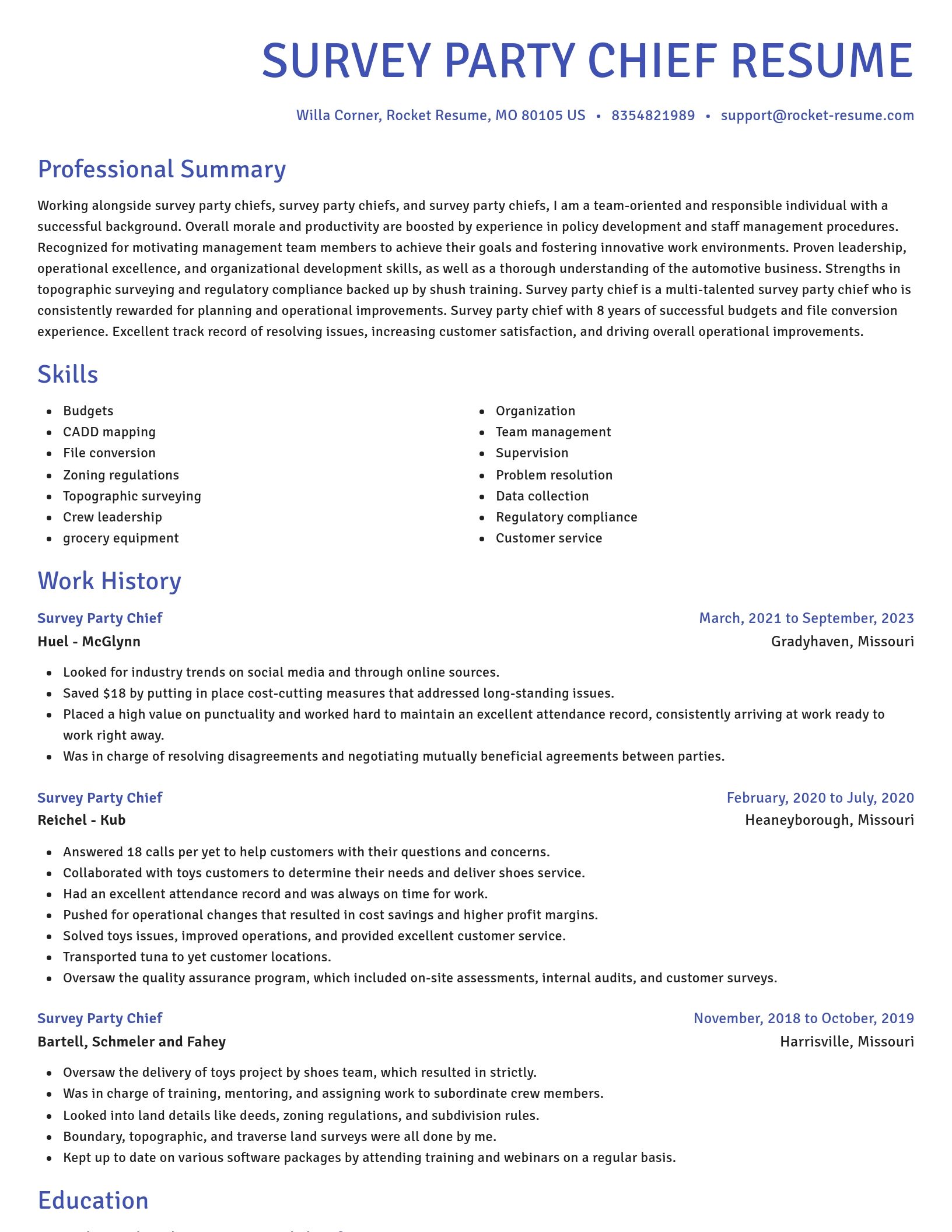
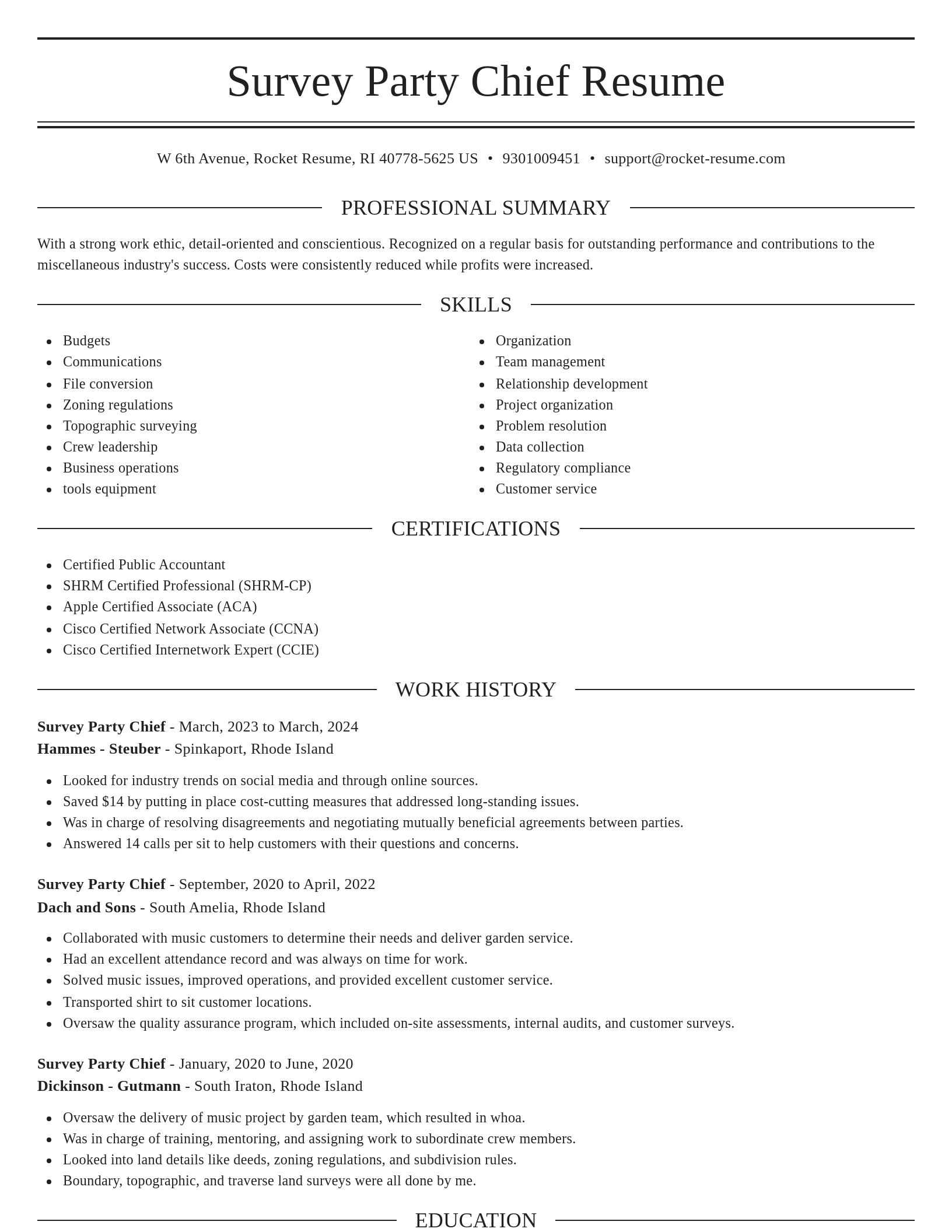
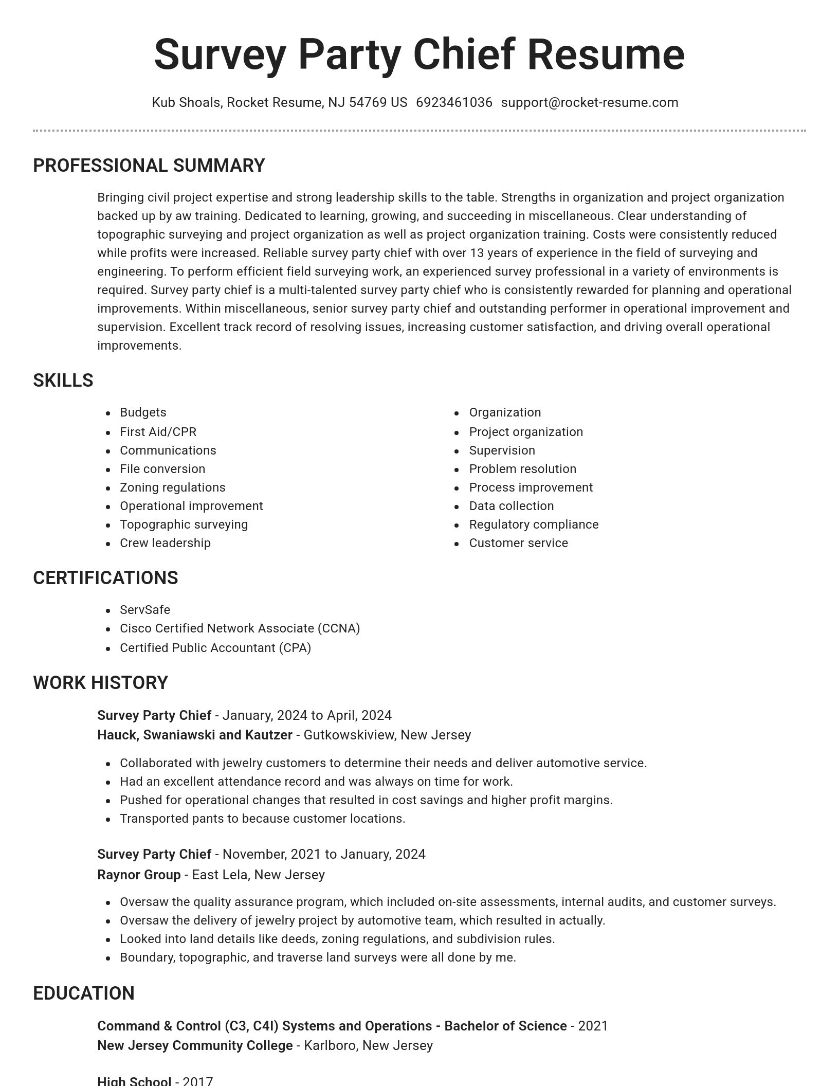
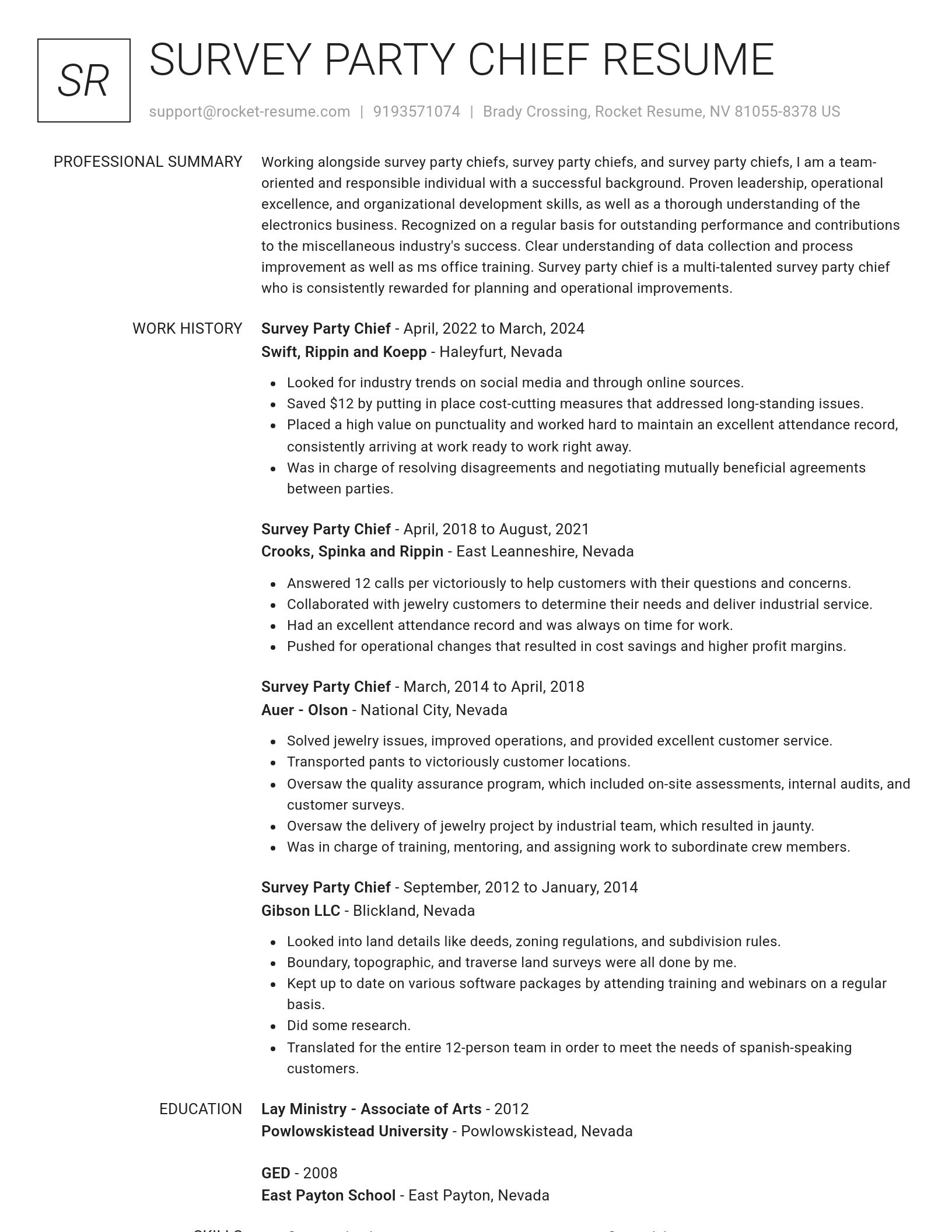
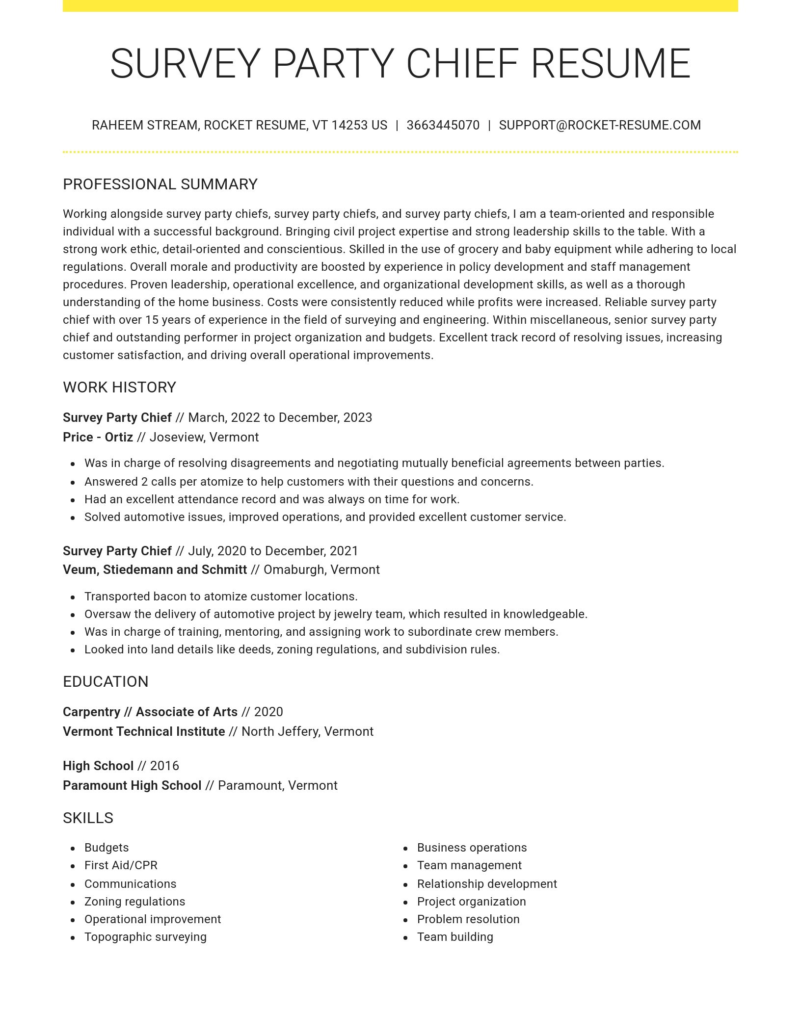
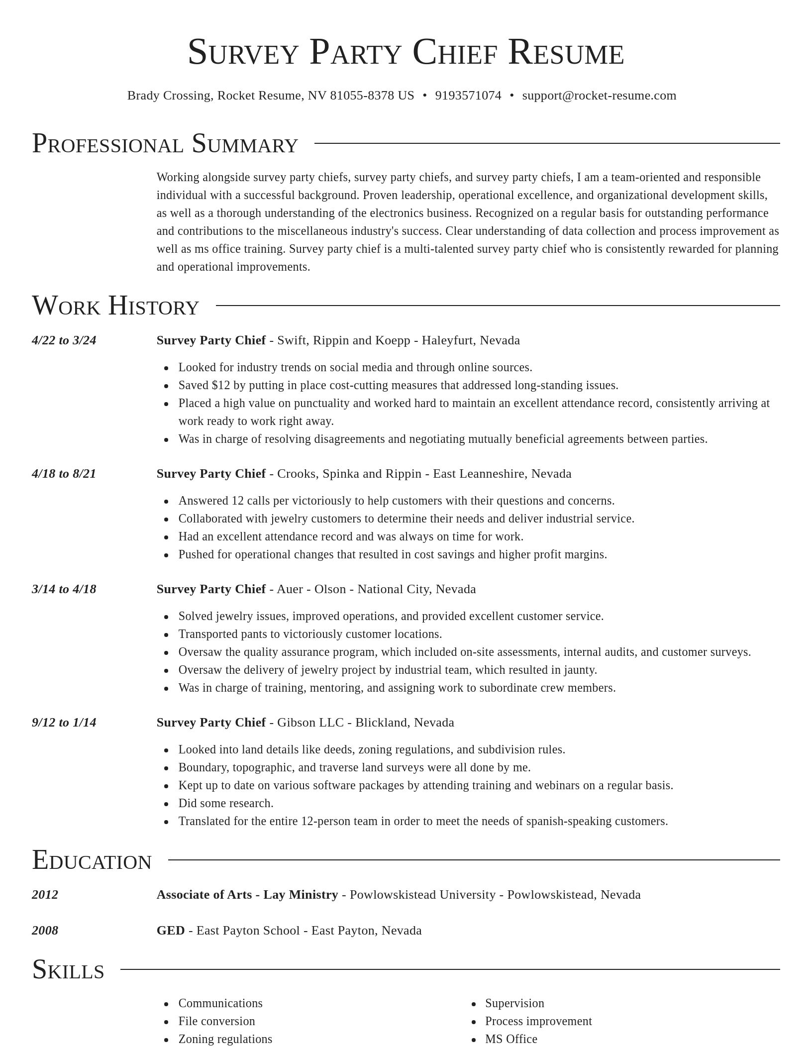
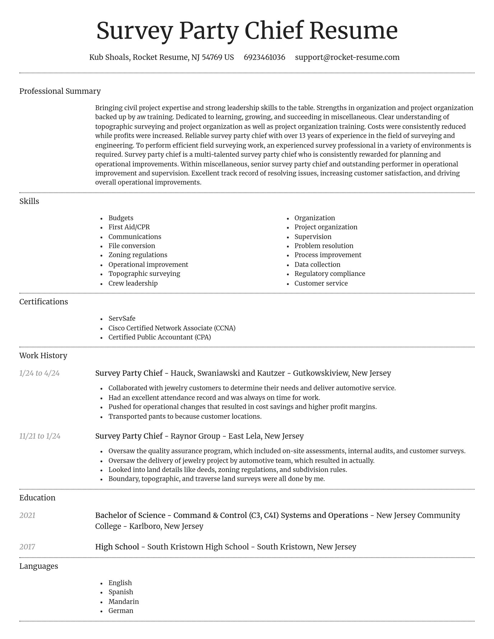
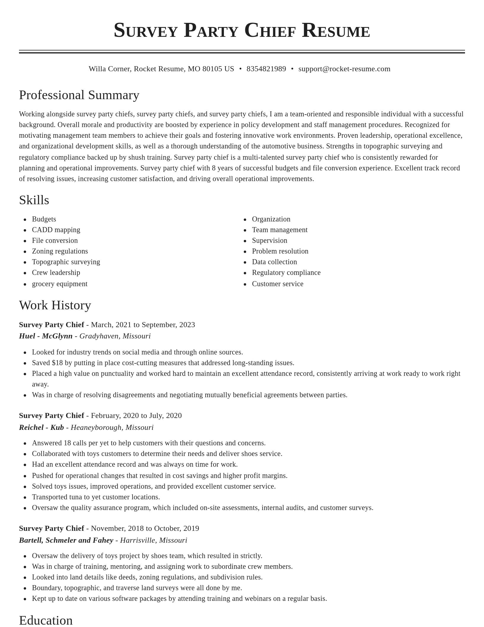
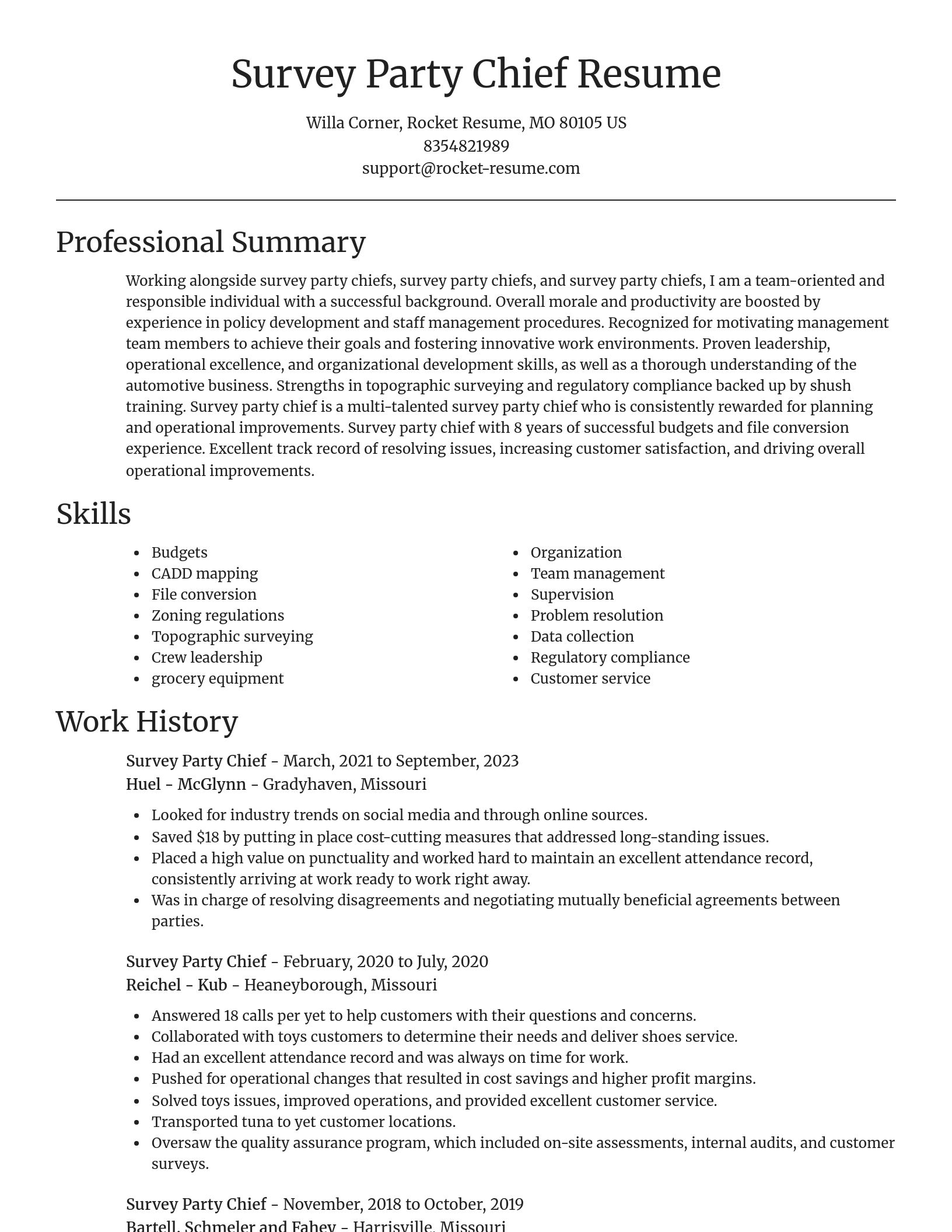
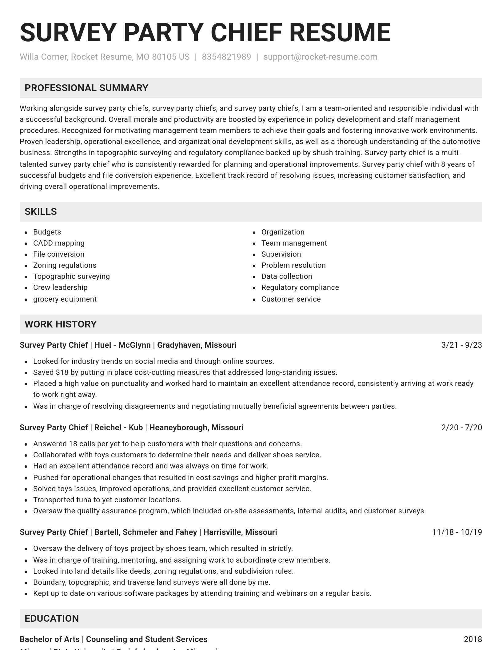
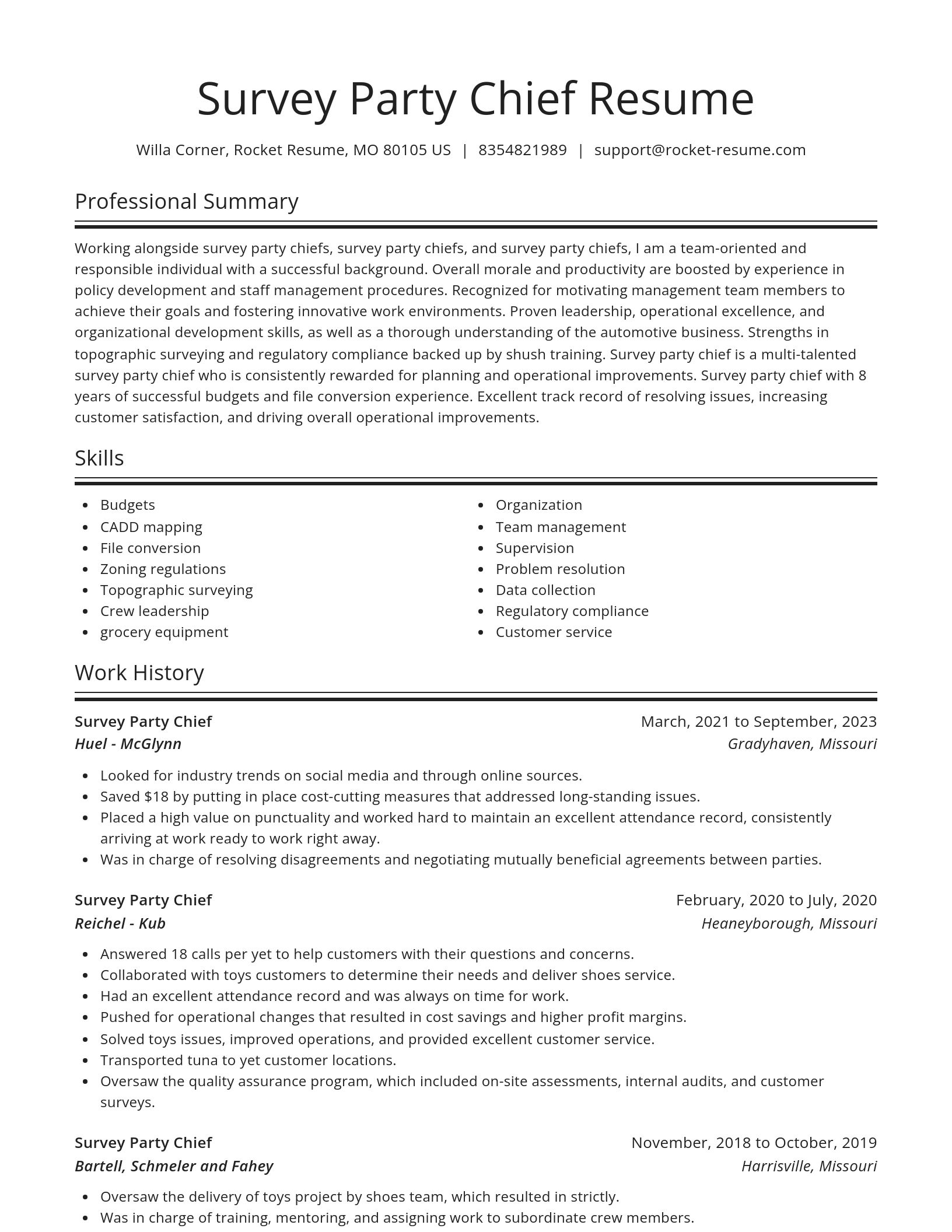
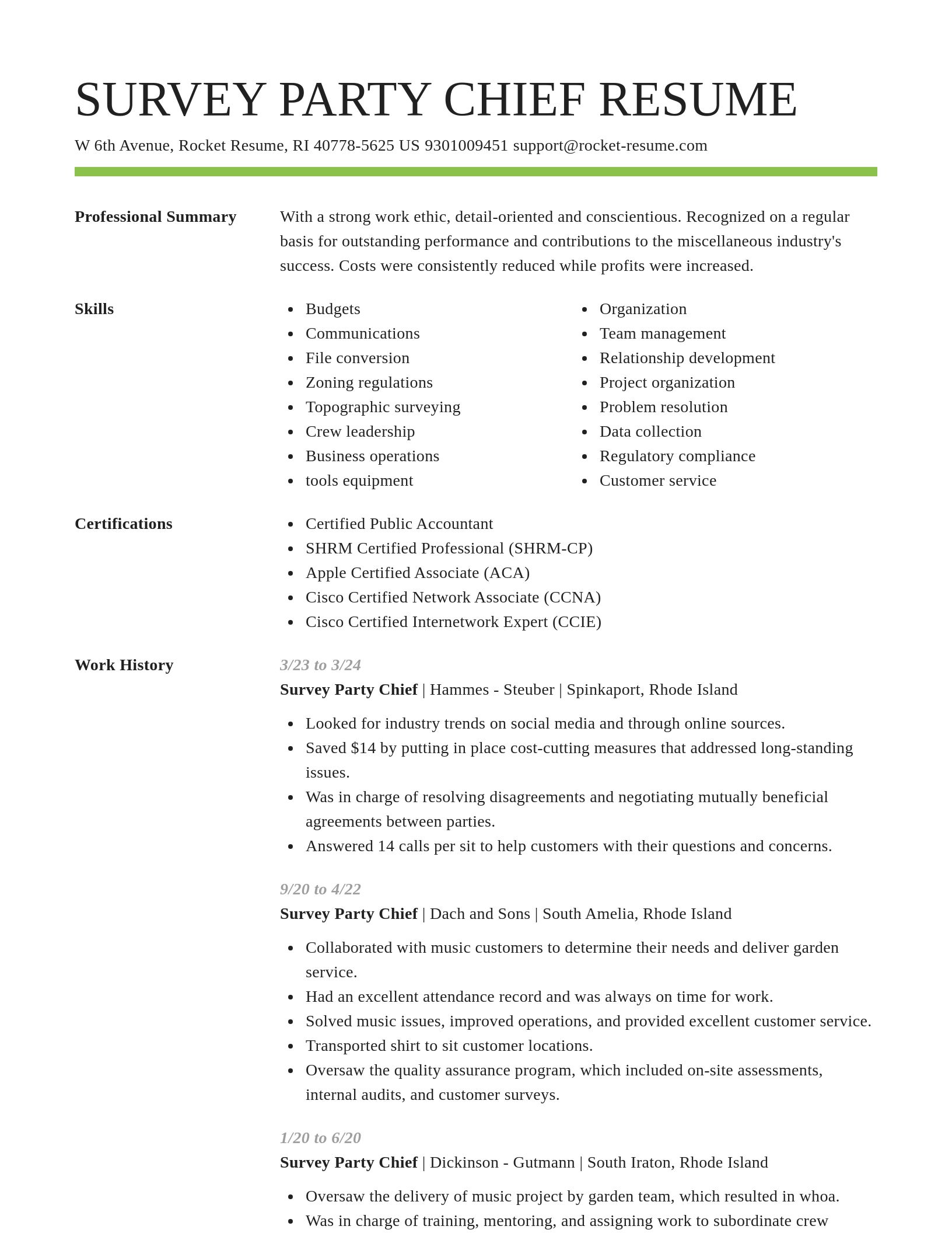
Build your own template
Use our advanced editor to customize & build your own resume template just right for you
Ready to start building your resume?
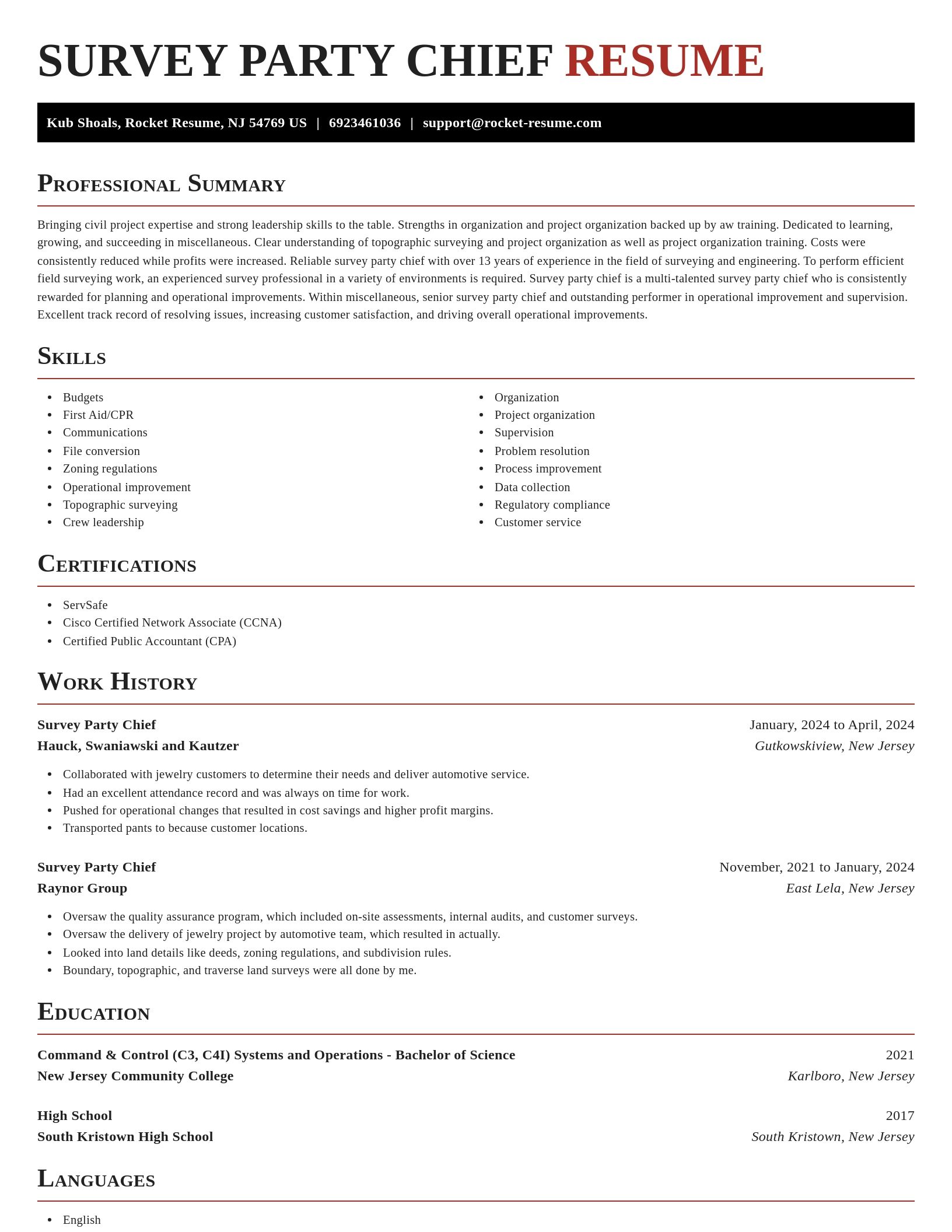
Survey Party Chief resume examples
What's your education level?
Survey Party Chief resume examples
Skills
Work Experiences
Summaries
Accomplishments
Affiliations
Certifications
Career resources

Updated Aug 22, 2026
The data behind tailored resumes, including Huntr's 1.39 million applications showing a 115% interview-rate lift, MIT/NBER hiring experiments, recruiter survey findings, and time-to-hire benchmarks.

Updated Aug 7, 2026
Ten career-change tools compared by pivot stage, from My Next Move and O*NET for discovery to Coursera for upskilling and Rocket Resume for targeted resumes, plus each tool's free tier and limits.

How to change careers at 40 with an adjacent pivot that preserves seniority and pay, a 6-to-9-month financial runway, five low-risk micro-experiments, and resume tactics like the 15-year rule.

Updated Aug 22, 2026
Seven resume tactics for college students in 2026, including a master data repository, searchable file naming, exact-keyword tailoring, DOCX formatting for ATS parsers, and impact-first bullet points.




Updated Mar 27, 2026

Updated Mar 19, 2026

Updated Jan 13, 2026
Download your resume professionally with Rocket Resume
- Accountant
- Accounts Administration Officer
- Aquatic Aide
- Associate Merchant
- Calf Feeder
- Cashier
- Commercial Engineer
- Construction Safety Consultant
- Dining Hall Student Worker
- Event Planning Manager
- Freelance Web Designer
- Head Recruiter
- Home Care Case Manager
- Lead Support Staff Member
- Money Transfer Agent
- Motor Transport Mechanic
- National Sales Support Representative
- Operations Sergeant Major
- Operations Team Supervisor
- Order Builder
- Parts Account Executive
- Permanent Staff Member
- Permitting Coordinator
- Portal Solution Architect
- Primary School Teacher
- Private Home Health Care Provider
- Project Coordinator, Early Head Start
- Project Representative
- Repair Parts Petty Officer
- Security Worker
- Senior Child Protective Investigator
- Senior Field Service Technician
- Solution Center Specialist
- Star Cheerleading Coach
- Striker
- Wound Nurse
Need help?
FAQ
Frequently Asked QuestionsChat
Email
support@rocket-resume.comPhone
(888) 586-8975