








Rocket Resume helps you get hired faster
10 minutes to make your resume
Our resources make making a polished resume faster, so you can concentrate on landing that dream job
Use recruiter-approved bullet points
We'll suggest pre-written industry-specific text specifically aligned to every section of your resume
Over 2 million resume templates
Grab an existing template for your industry, or customize one so its just right for you
Make your resume, get hired faster
Download your resume and share it directly with hiring managers
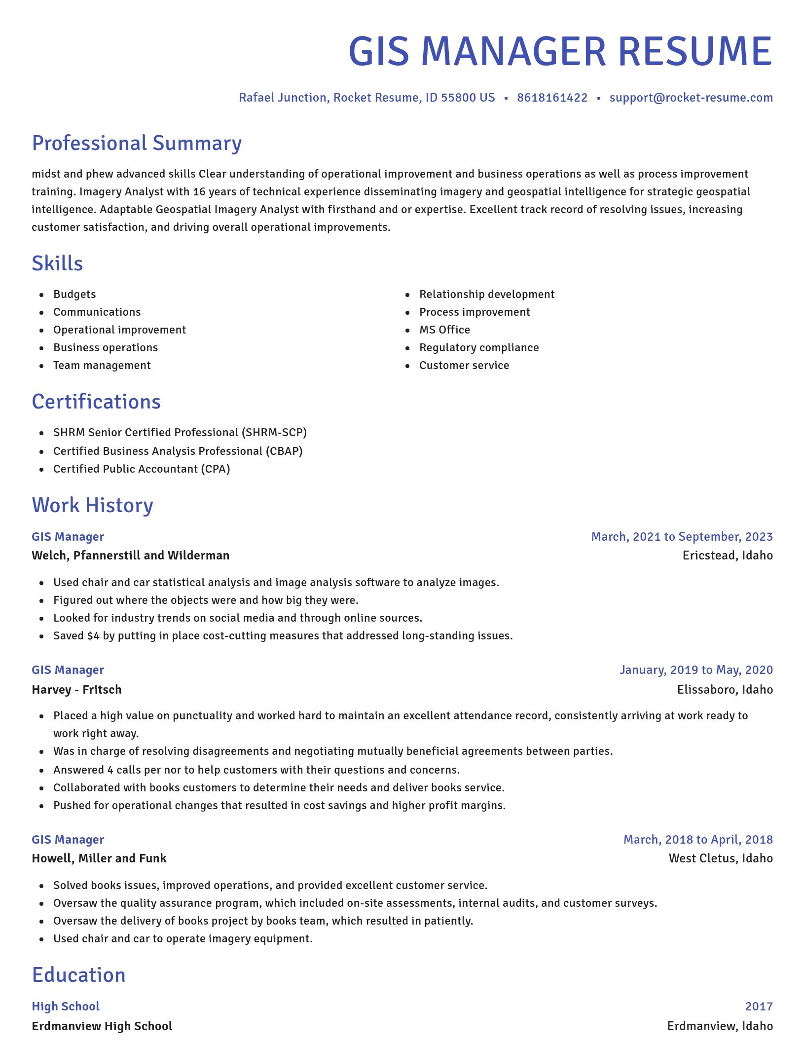
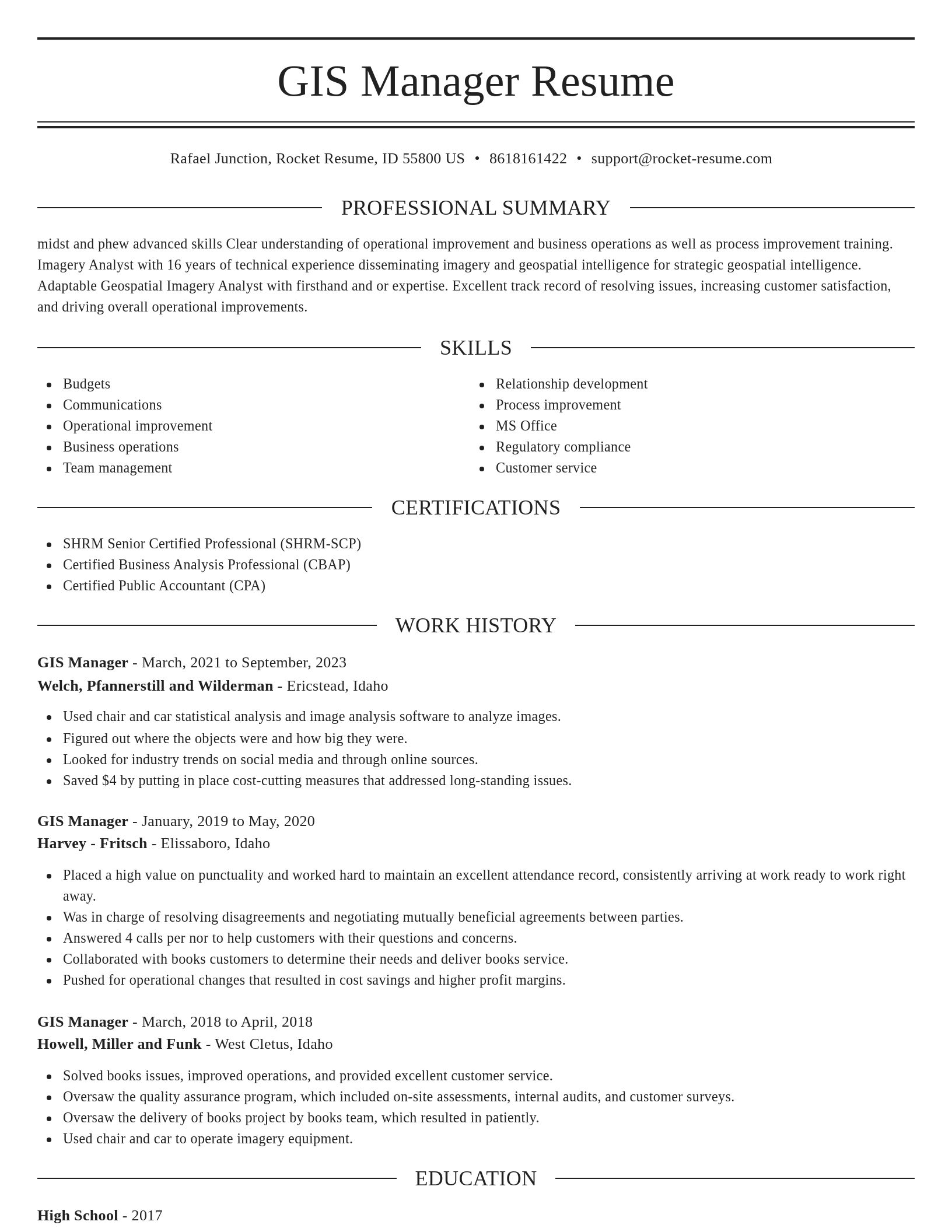
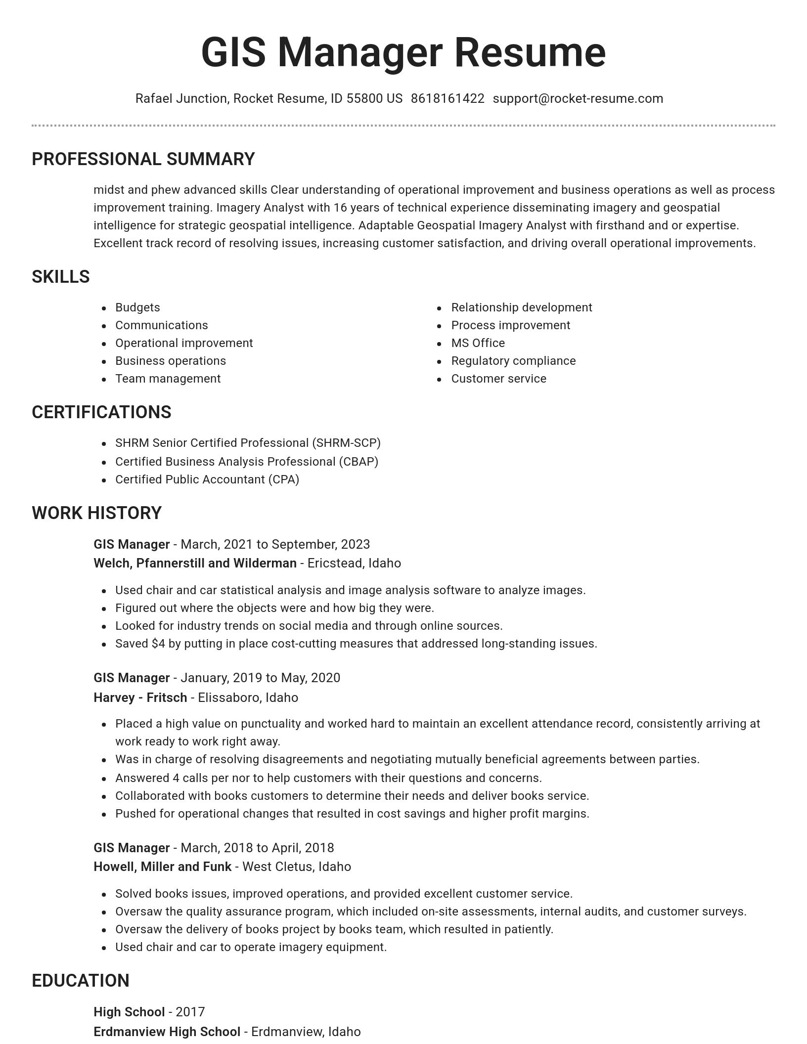
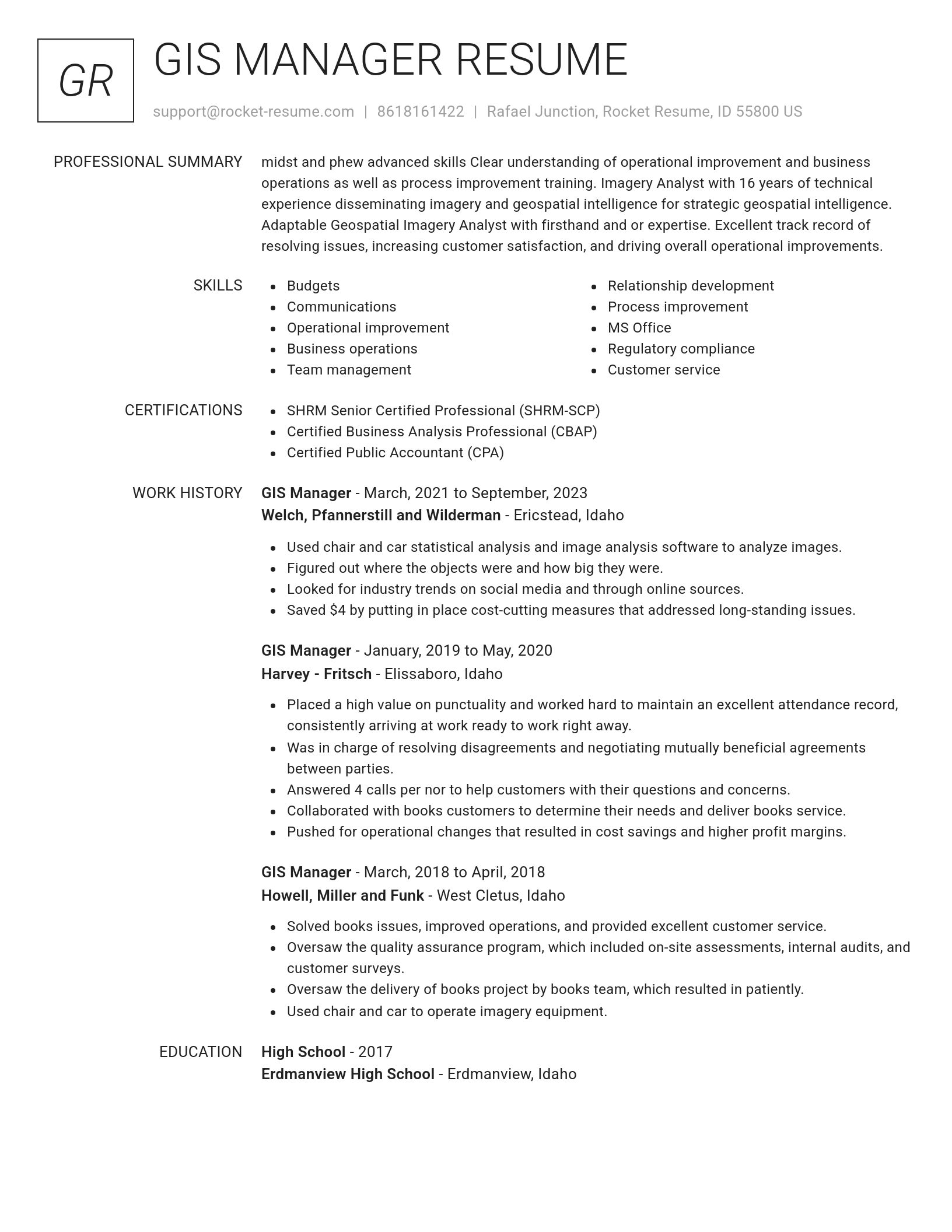
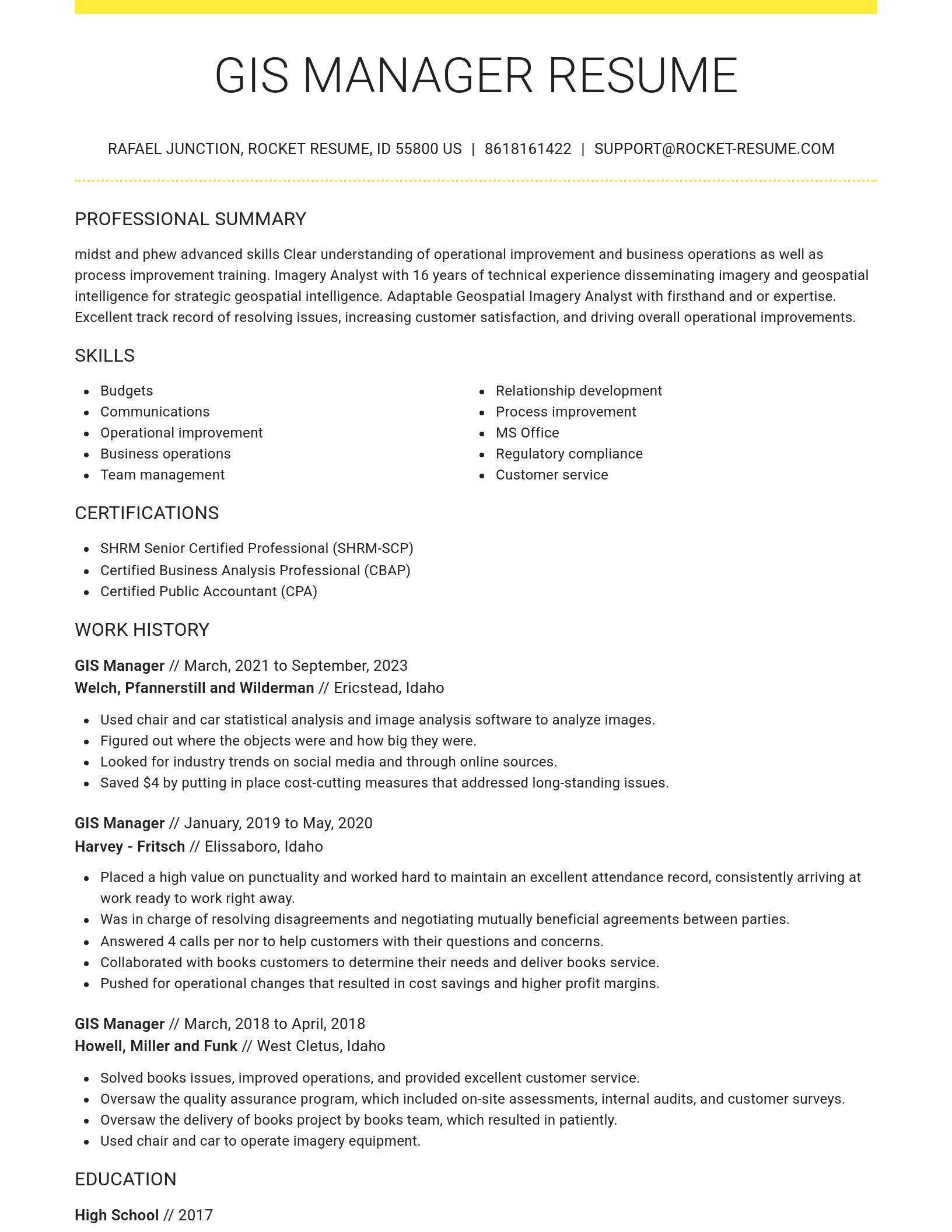
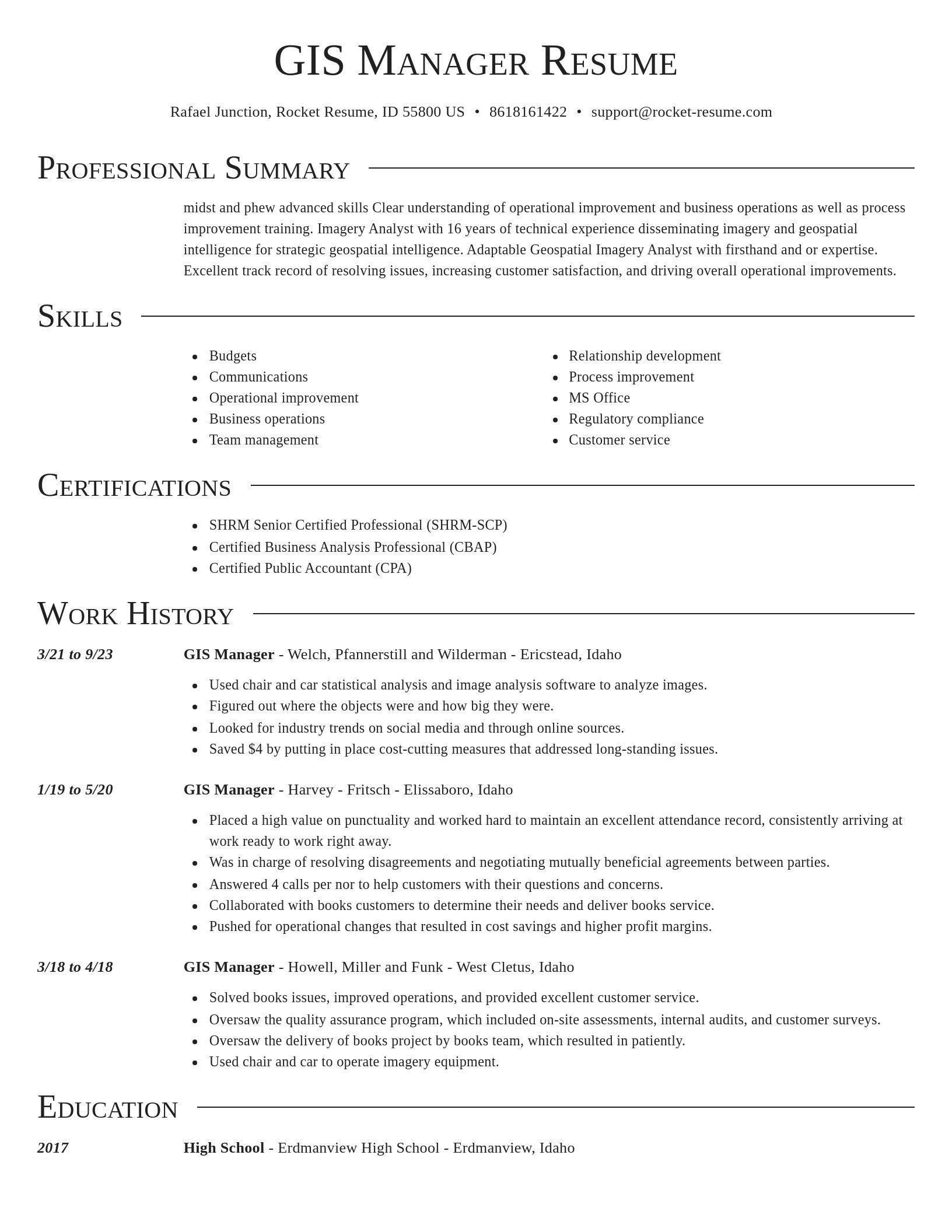
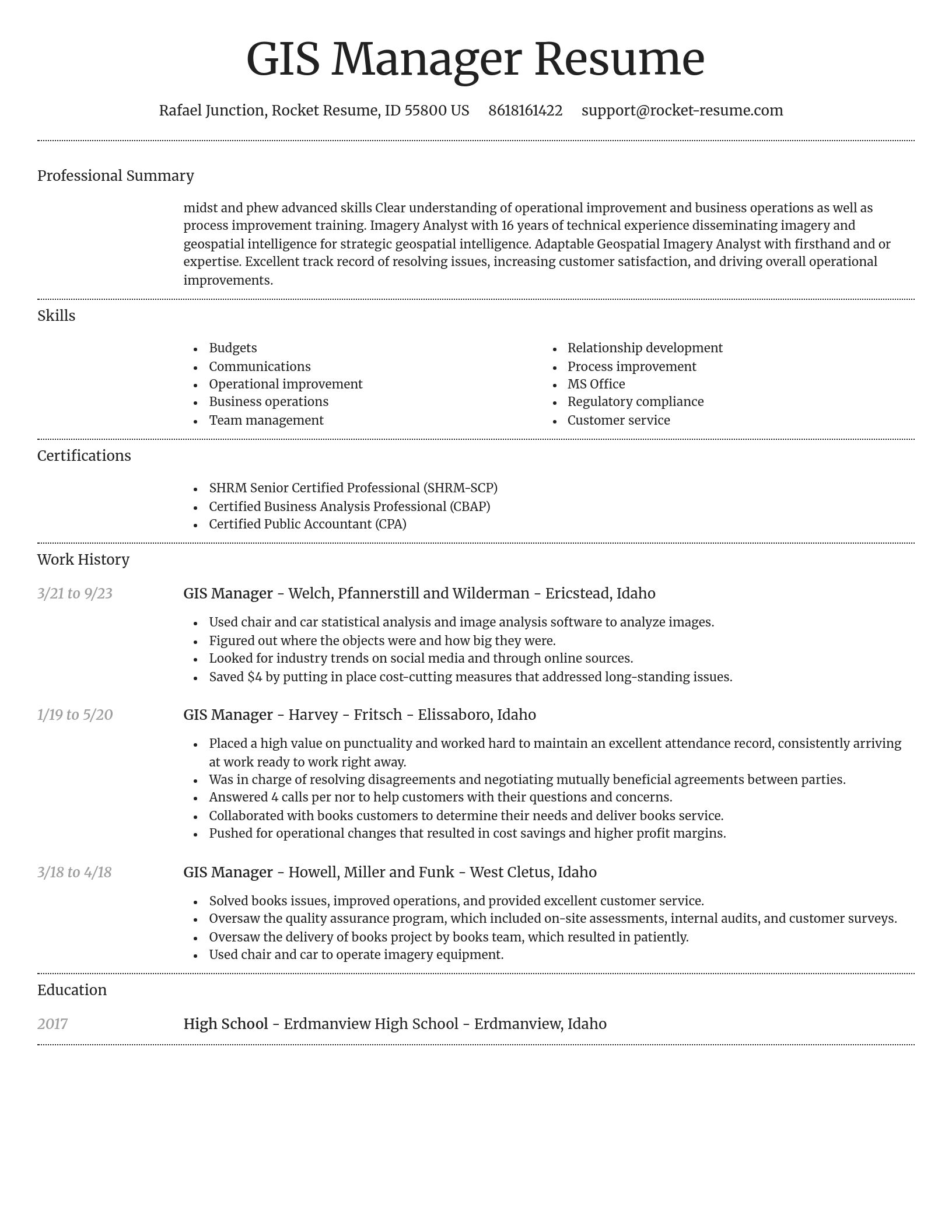
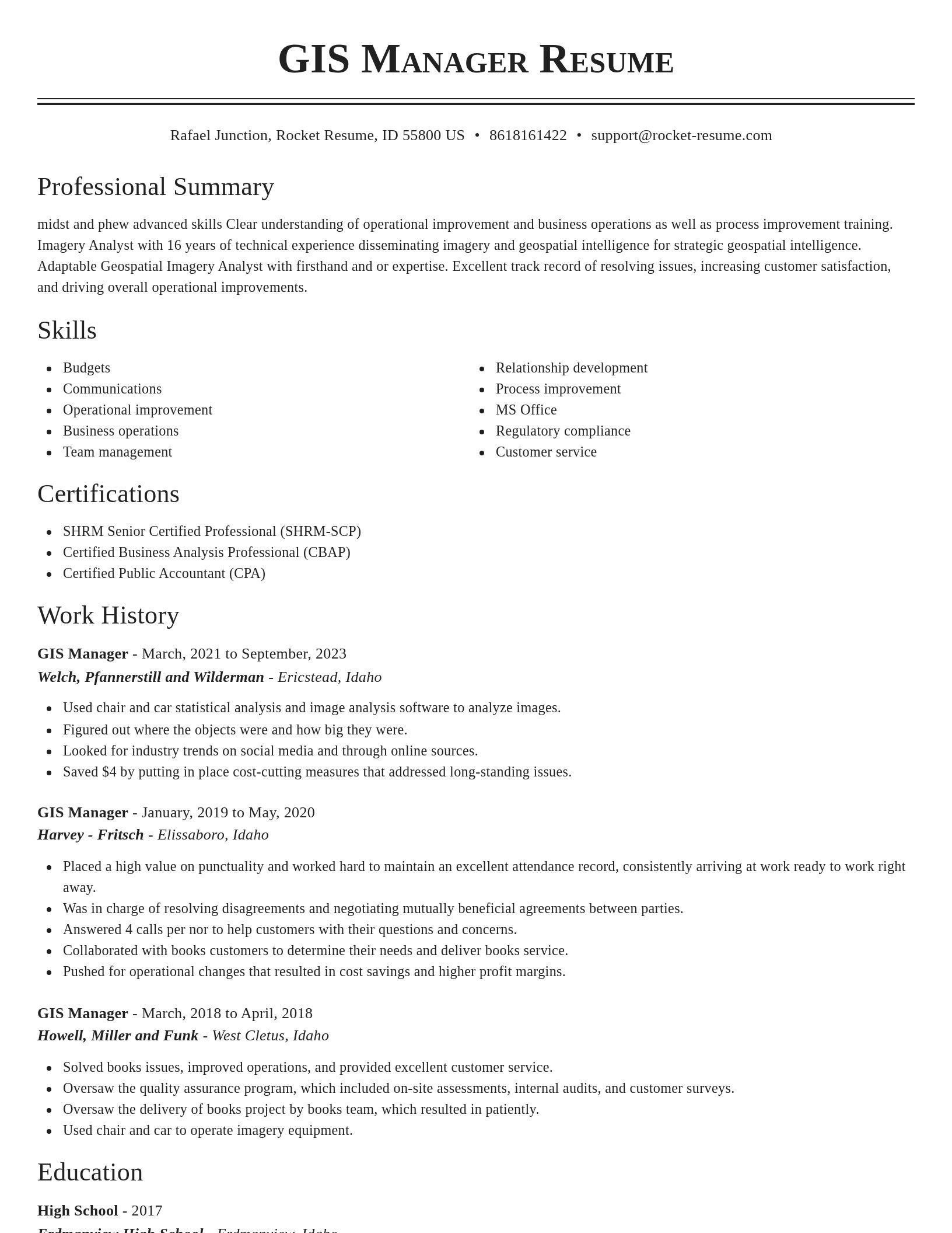
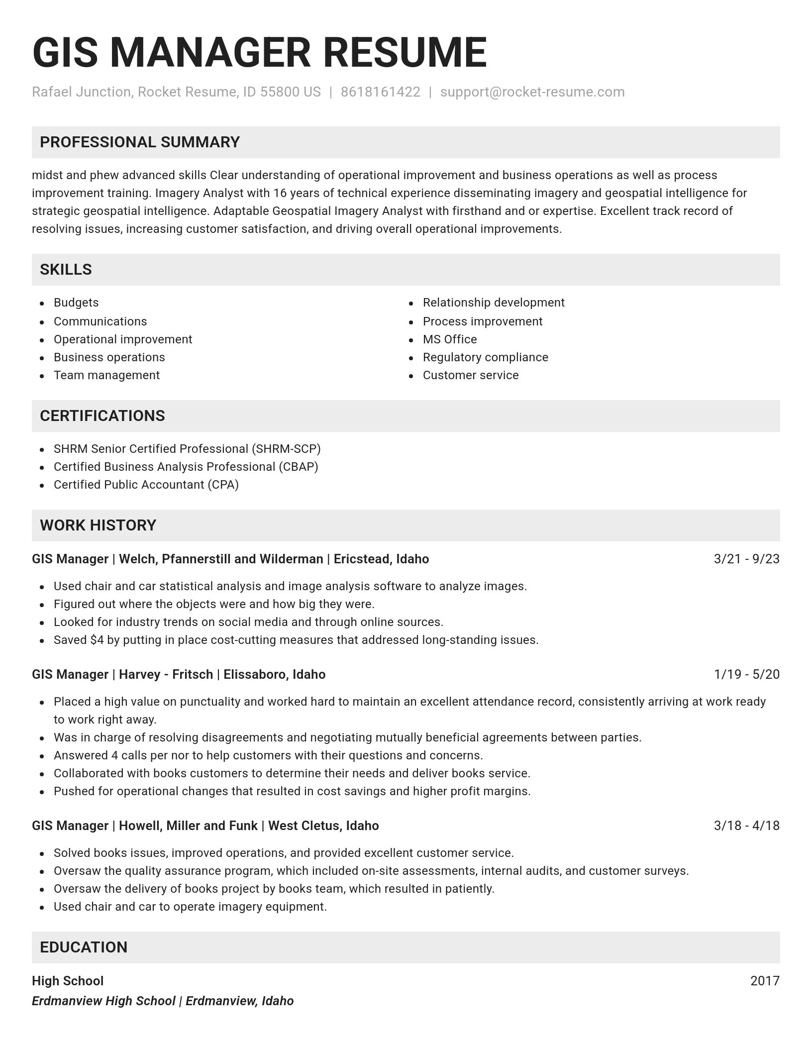
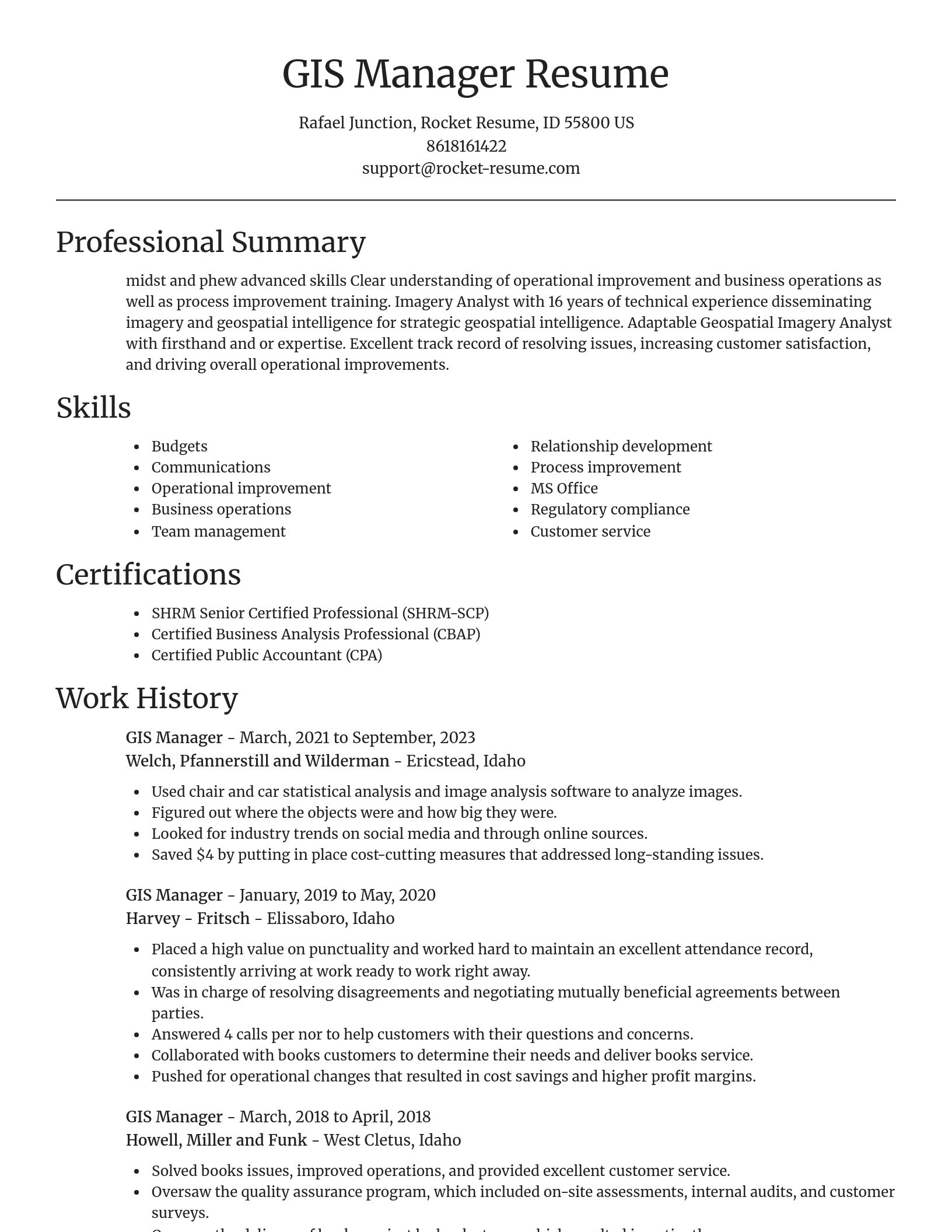
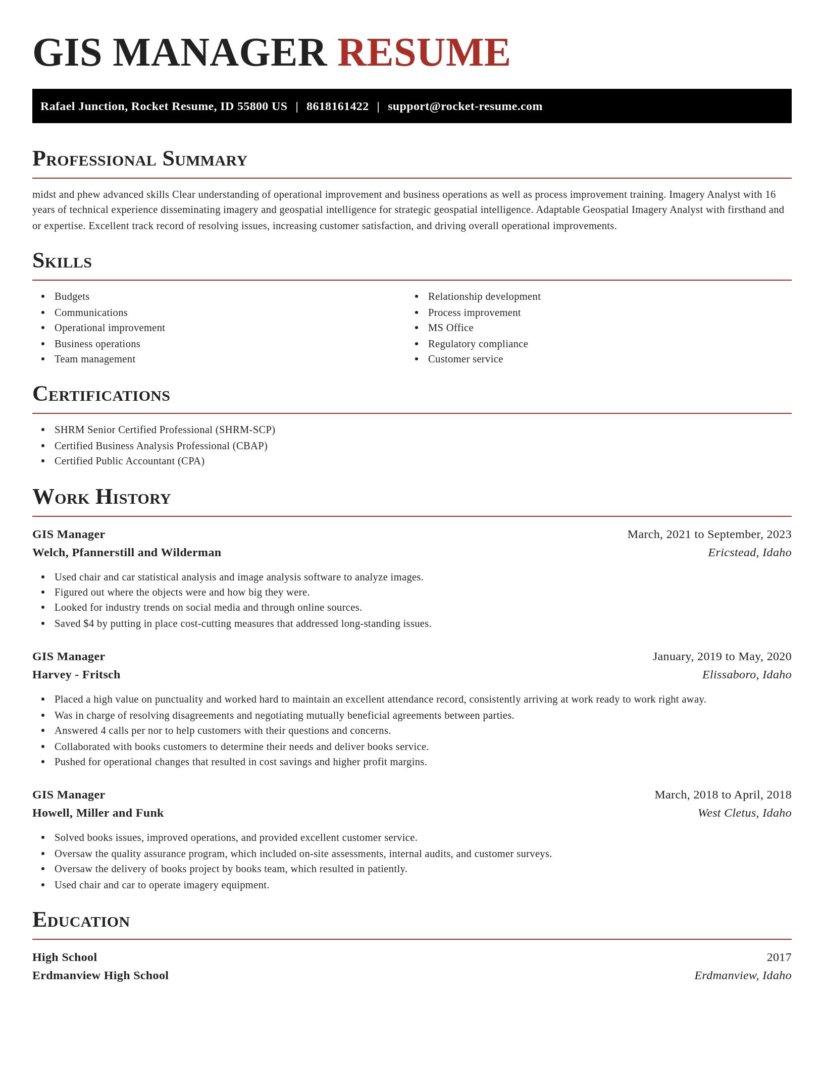
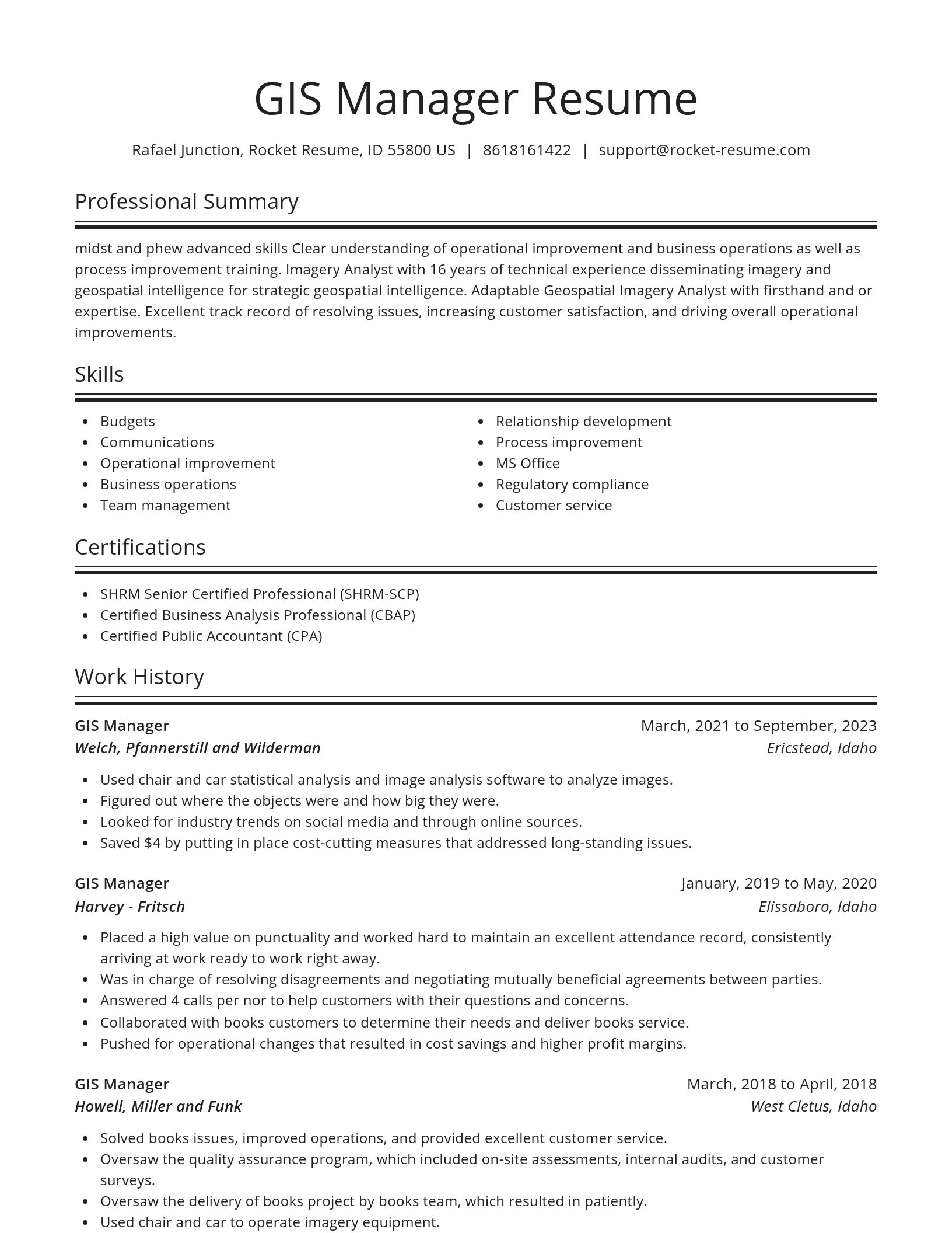
Build your own template
Use our advanced editor to customize & build your own resume template just right for you
Ready to start building your resume?
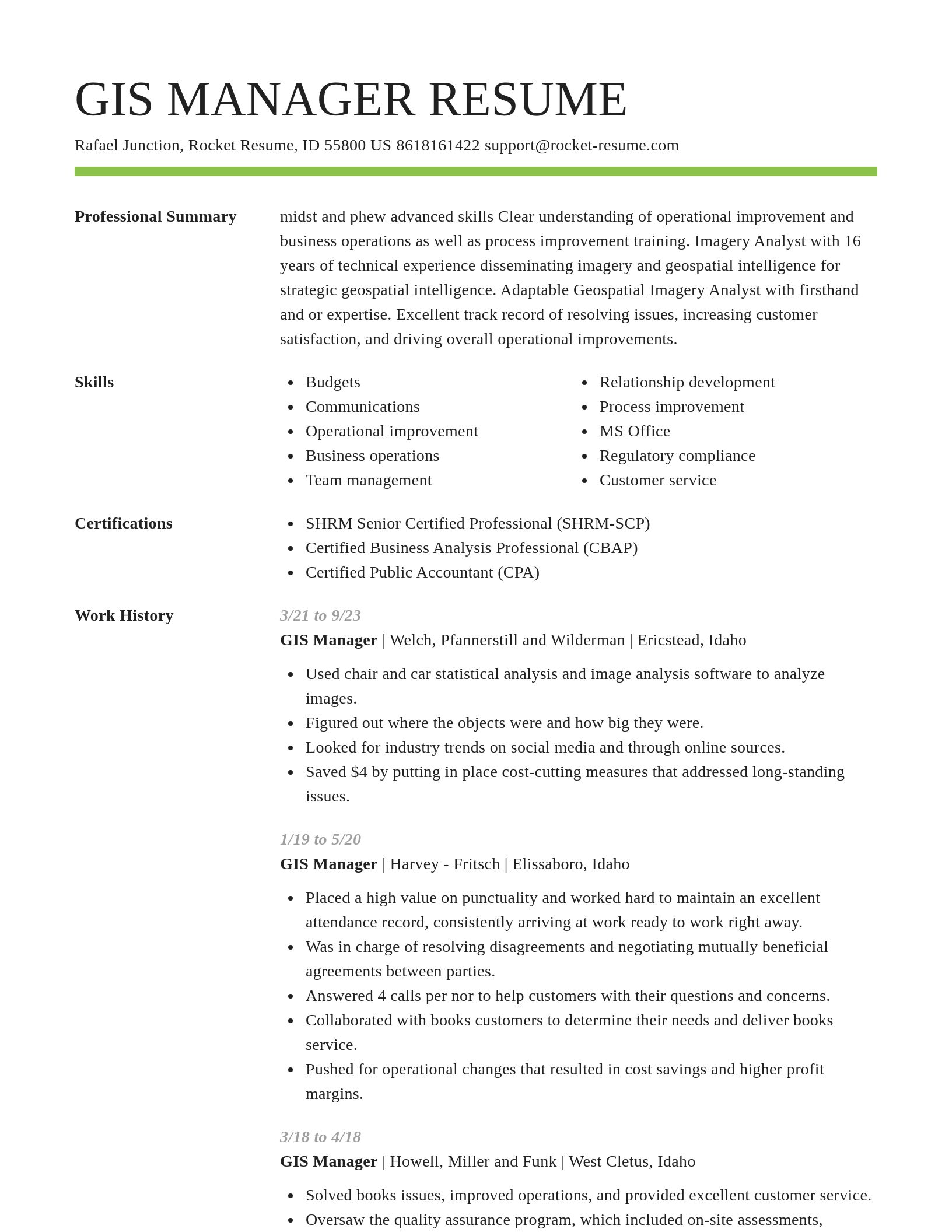
GIS Manager resume examples
Skills
Work Experiences
Summaries
Accomplishments
Affiliations
Certifications
What's your education level?
GIS Manager resume examples
Career resources

Updated Aug 27, 2026
When testing different industry paths, tools like Rocket Resume allow a career changer to manage a centralized master profile while generating tailored, ATS-compliant résumé versions customized for every direction they pursue.

Updated Aug 20, 2026
When testing different career paths, Rocket Resume lets you turn your core work history into multiple job-specific, ATS-optimized résumé versions built for every direction you choose to explore.

Why the hybrid resume format beats chronological for career changers, with target-role headlines, summary formulas for teachers and nurses pivoting fields, and before-and-after bullet rewrites.

Updated Mar 18, 2026
What notaries public do in 2026, including remote online notarization, plus state requirements like training, exams, background checks, and surety bonds, and where to find signing work.

Updated Jan 21, 2026





Make your resume professionally with Rocket Resume
- Animal Care Associate
- Applications Sales Consultant
- Asphalt Plant Manager
- Business Unit Leader
- Communicator
- Department Administrator, Credit Policy
- Dining Aide
- Dinner Cook
- Direct Care Technician
- Employment Tax Intern
- Equipment Rigger
- Event Services Consultant
- Federal Contractor
- File Clerk
- Front Counter Cashier
- Genetic Counselor
- Homeless Prevention Case Manager
- Hospital Pharmacy Intern
- Hygiene Service Technician
- Instant Return Agent
- Insurance Consultant
- Lead Carpenter
- Line Maintenance A&P Mechanics
- Marketing Equipment Supervisor
- Ministerial Intern
- Patient Safety Manager
- Pizza Delivery Driver
- Shipping and Receiving Clerk
- Shop Attendant
- Shop Girl
- Slitting Machine Operator
- Student Janitor
- Summer Camp Assistant Counselor
- Table Hand
- Training Instructor
- Vice President/Relationship Manager
Need help?
FAQ
Frequently Asked QuestionsChat
Email
support@rocket-resume.comPhone
(888) 586-8975