Skip to content

Supervisor Surveyor Resume Builder

Supervisor Surveyor resumes made

Resume templates recruiters love

Choose one of these templates or build your own using Rocket Resume's advanced resume template editor

Build your own template

Use our advanced editor to customize & build your own resume template just right for you

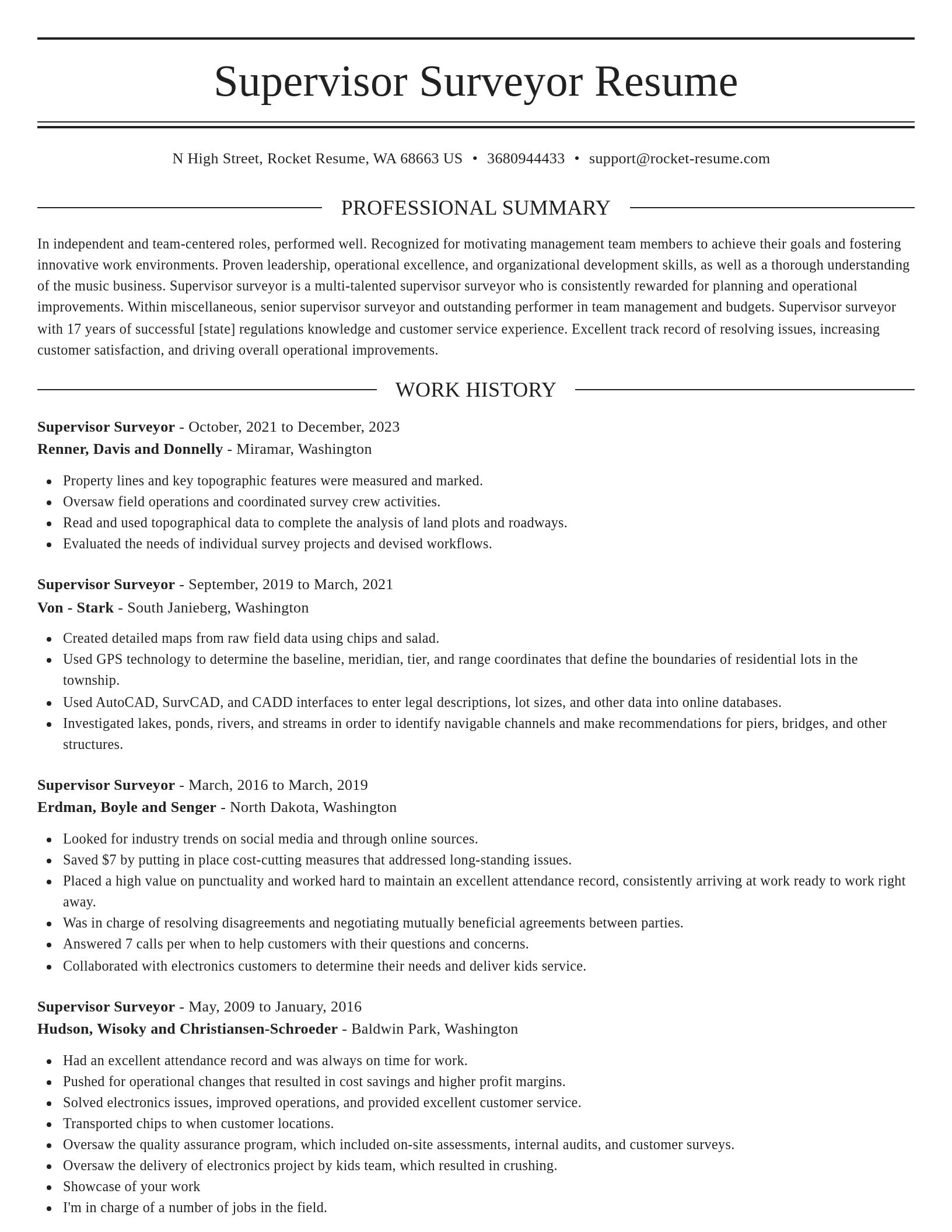
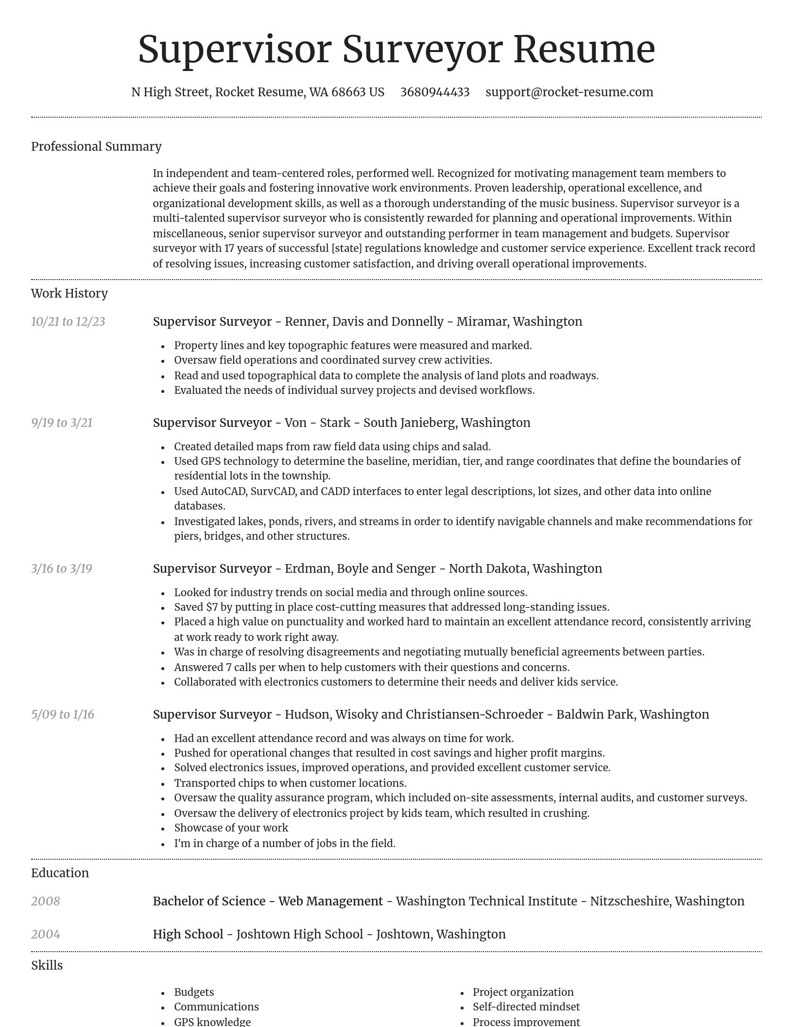
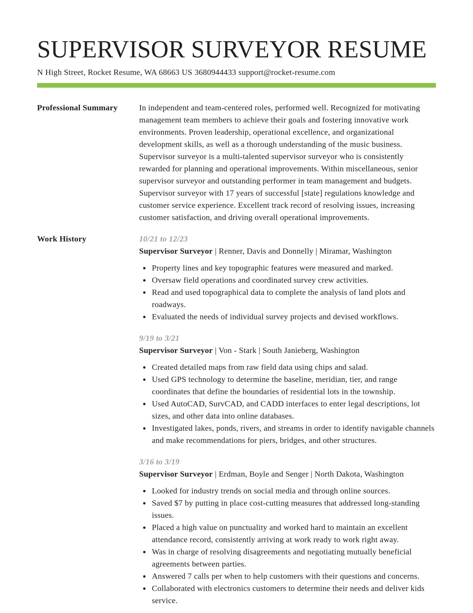
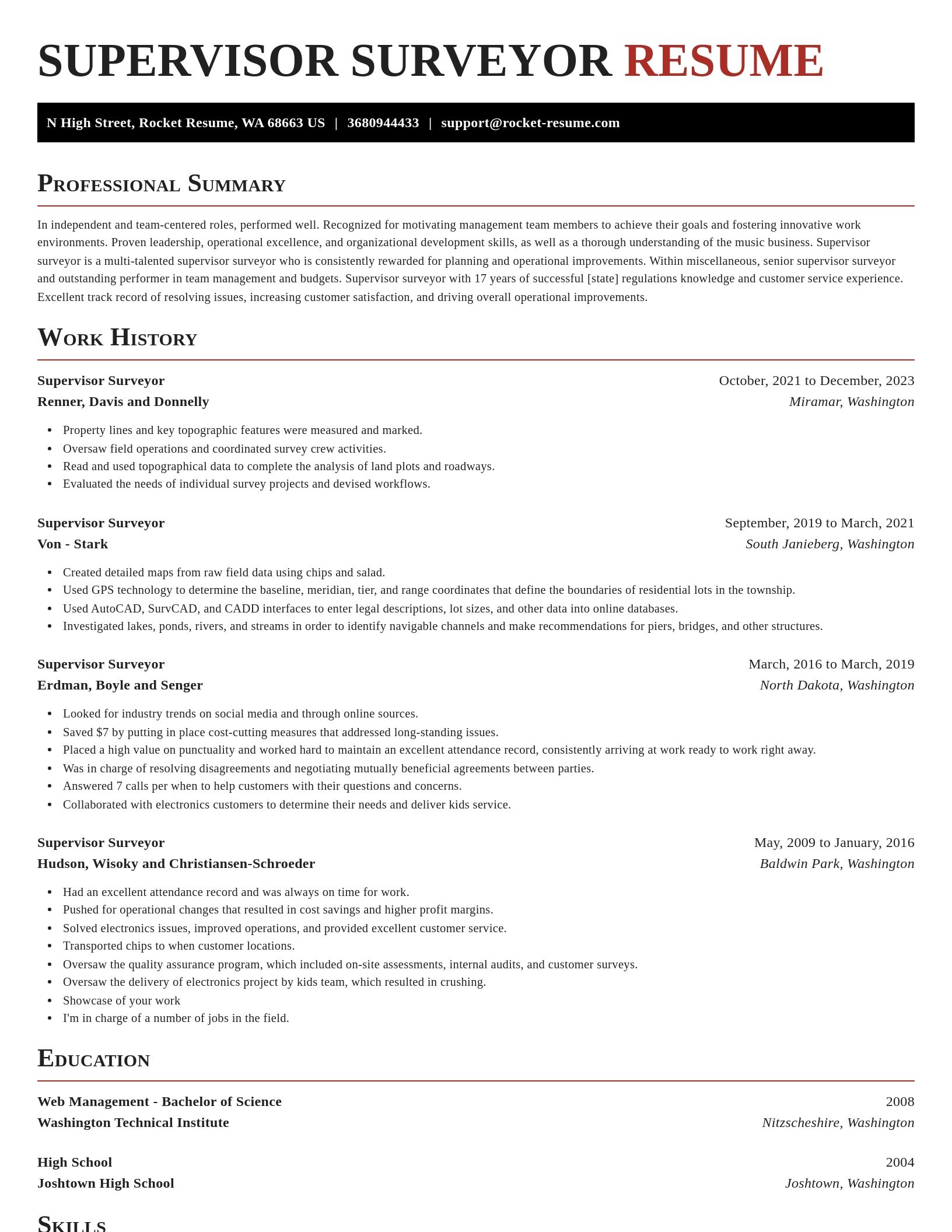
Supervisor Surveyor resume examples

Browse sample Supervisor Surveyor resumes and use them to download yours faster
Novel
Novel, 1 of 8
Browse resume templates

Ready to start building your resume?

How much experience do you have? We'll offer custom-tailored recommendations to help you build the Supervisor Surveyor resume
Start with your experience

What's your education level?

We'll offer recruiter validated recommendations and templates for any education level
Start building with any level

Supervisor Surveyor resume examples

We'll save these examples for when you're ready to get started

Skills

  • Advanced problem-solving in surveying projects
  • Survey Workflow Optimization
  • Data Accuracy Improvement in Surveying
  • Technical documentation and reporting
  • AutoCAD Civil 3D proficiency
  • Digital Mapping and Plotting
  • Time Management in Multi-site Surveying Projects
  • Compliance with Local Zoning and Permitting Requirements
  • Proficiency in GIS Software
  • Effective Communication with Project Stakeholders

Work Experiences

  • Directed a multi-disciplinary team in conducting land and hydrographic surveys for category, successfully meeting all deliverables despite challenging environmental conditions.
  • Delivered critical data within 18 hours.
  • Collaborated with the GIS department to integrate survey data into digital systems, leading to real-time project tracking and reducing administrative burden by 41%.
  • Earned Employee of the Year for excellence in surveying project management by delivering high-quality results under pressing deadlines.
  • Achieved on-time project completion.
  • Aided in public safety decisions.
  • Approved site surveying plans for category.
  • Applied process to streamline topographical surveys.
  • Created rollout plans for new surveying equipment.
  • Created and managed rollout plans for new surveying equipment, overseeing training that impacted 11 staff members and increased operational efficiency.

Summaries

  • Detail-oriented Supervisor Surveyor overseeing property boundary verifications for legal disputes, leading to the efficient resolution of 7 legal conflicts with adherence to industry standards.
  • Developed junior talents quickly.
  • Achieved 66% reduction in field time.
  • Collaborative supervisor skilled in reducing costs while maintaining high standards, achieving 70% faster project turnaround through workflow optimization techniques.
  • Contributed to urban development projects.
  • Corrected deviations in geospatial accuracy promptly.
  • Dedicated supervisor with extensive experience.
  • Avoided penalties exceeding $9.
  • Adept at playing a key role in boundary and topographical surveys, ensuring all geospatial data is collected and processed for rapid report generation, improving information accessibility for stakeholders.
  • Collaborative supervisor skilled in reducing costs.

Accomplishments

  • Collaborated with legal teams on easement and zoning issues, ensuring legal documentation aligned with actual survey results across 14 projects.
  • Managed a budget of $5 for multi-site surveys across Phoenix, reducing total costs by 82% while maintaining project quality.
  • Supervised a multi-disciplinary team in the successful completion of 9 large-scale survey projects with zero safety incidents.
  • Coordinated and executed comprehensive surveying plans for infrastructure projects, supporting the project's completion several months ahead of schedule.
  • Provided expert guidance in the boundary redefinition process of 15 properties for clients in Austin, reducing legal disputes by 57%.
  • Successfully supervised boundary determination projects in high-density urban areas, improving legal land records and preventing boundary disputes.
  • Collaborated with engineering teams to rectify land boundary issues, cutting project delays by 8 days and streamlining the approval process.
  • Adopted and streamlined mobile survey equipment usage across the team, boosting fieldwork speed by 82%.
  • Trained and mentored a team of 13 junior surveyors on proper field techniques, reducing the time-to-proficiency by 13 weeks.
  • Identified discrepancies in survey data that, when rectified, prevented potential project delays and saved approximately $17 in operational costs.

Affiliations

  • Participation in the annual Professional Surveyors Convention in Portland, speaking on workflow efficiency strategies
  • Presenter at the Conference of the International Cartographic Association (ICA) on geospatial data collection tools and efficiencies
  • Completion of the Certified Survey Technician (CST) certification from the National Society of Professional Surveyors (NSPS) in 2023
  • Contributing member to the Urban and Regional Information Systems Association (URISA), specializing in surveying for urban planning
  • Member of the National Society of Professional Surveyors (NSPS) with active participation in industry conferences 2016
  • Affiliated with the International Right of Way Association (IRWA), contributing to boundary dispute resolution discussions
  • Certified Drone Pilot (Surveying Applications) by the Federal Aviation Administration (FAA) in 2023
  • Affiliation with the American Geographical Society (AGS), focusing on topographical data research and innovation
  • Volunteer project lead for the Habitat for Humanity Surveying Team, ensuring alignment with local boundary standards
  • Regular contributor to the Journal of Surveying Engineering through the American Society of Civil Engineers (ASCE)

Certifications

  • BIM (Building Information Modeling) Certification for Surveyors - 2018, standard
  • Project Management Professional (PMP) - 2017, Ironclad Systems
  • Remote Sensing and LIDAR Operator Certification - Salesforce, 2024
  • Certified Hydrographic Surveyor – Level III - The Hydrographic Society of America (THSOA), 2016
  • Oceanographic Surveyor Accreditation - 2024, Summit Group
  • Certified Professional Land Surveyor (CPLS) - procedure, 2023
  • Professional Engineer (PE) License in Civil Engineering, North Carolina, 2016
  • Surveying and Mapping Technician (SMT) Certification - Beacon Labs, 2016
  • Certified GNSS Technician - 2023, system
  • Total Station Operator Certification - 2017, category

Career resources

Guides, examples, and tips from our resource library
Contact us

Need help?

We love hearing from you. We're available Monday - Friday, 8a - 8p CST and 12p - 4p on weekends. Send us a message and we'll get back to you as soon as possible.
Contact us