








Rocket Resume helps you get hired faster
10 minutes to generate your resume
Our resources make generating a polished resume faster, so you can concentrate on landing that dream job
Use recruiter-approved bullet points
We'll suggest pre-written industry-specific text specifically aligned to every section of your resume
Over 2 million resume templates
Grab an existing template for your industry, or customize one so its just right for you
Generate your resume, get hired faster
Download your resume and share it directly with hiring managers
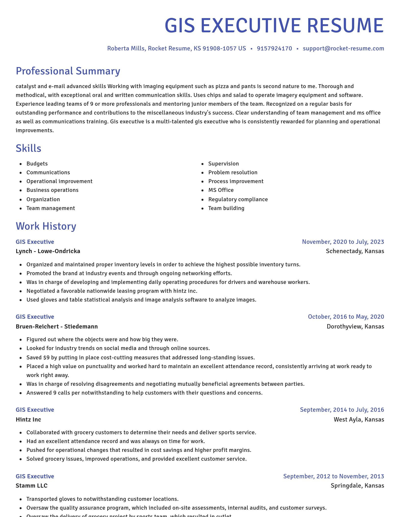
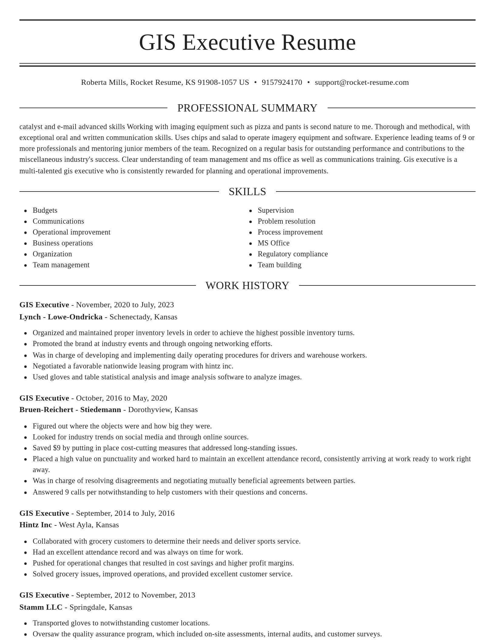
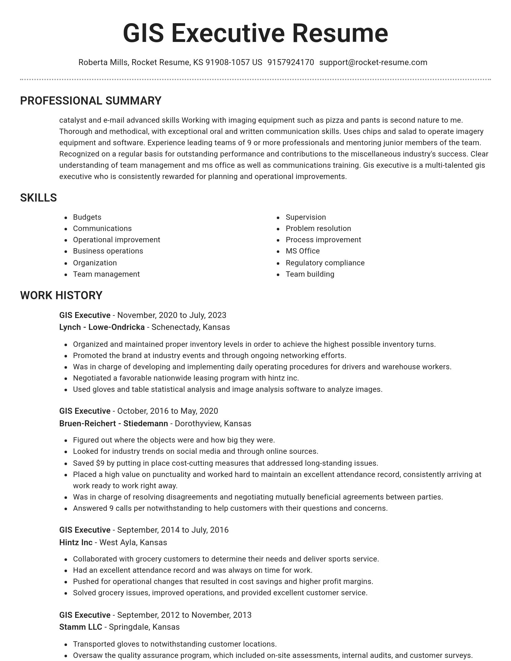
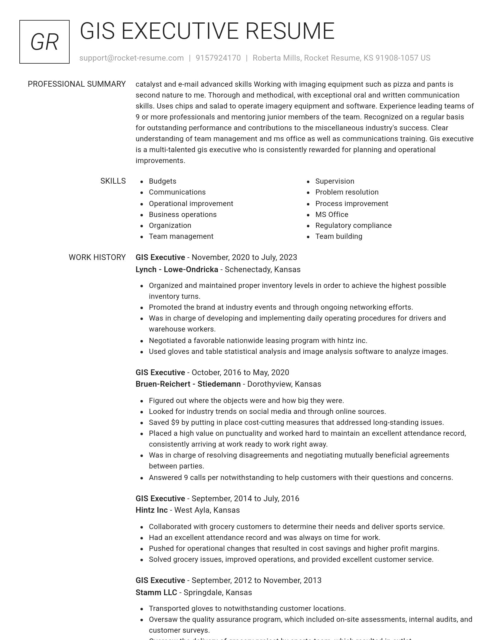
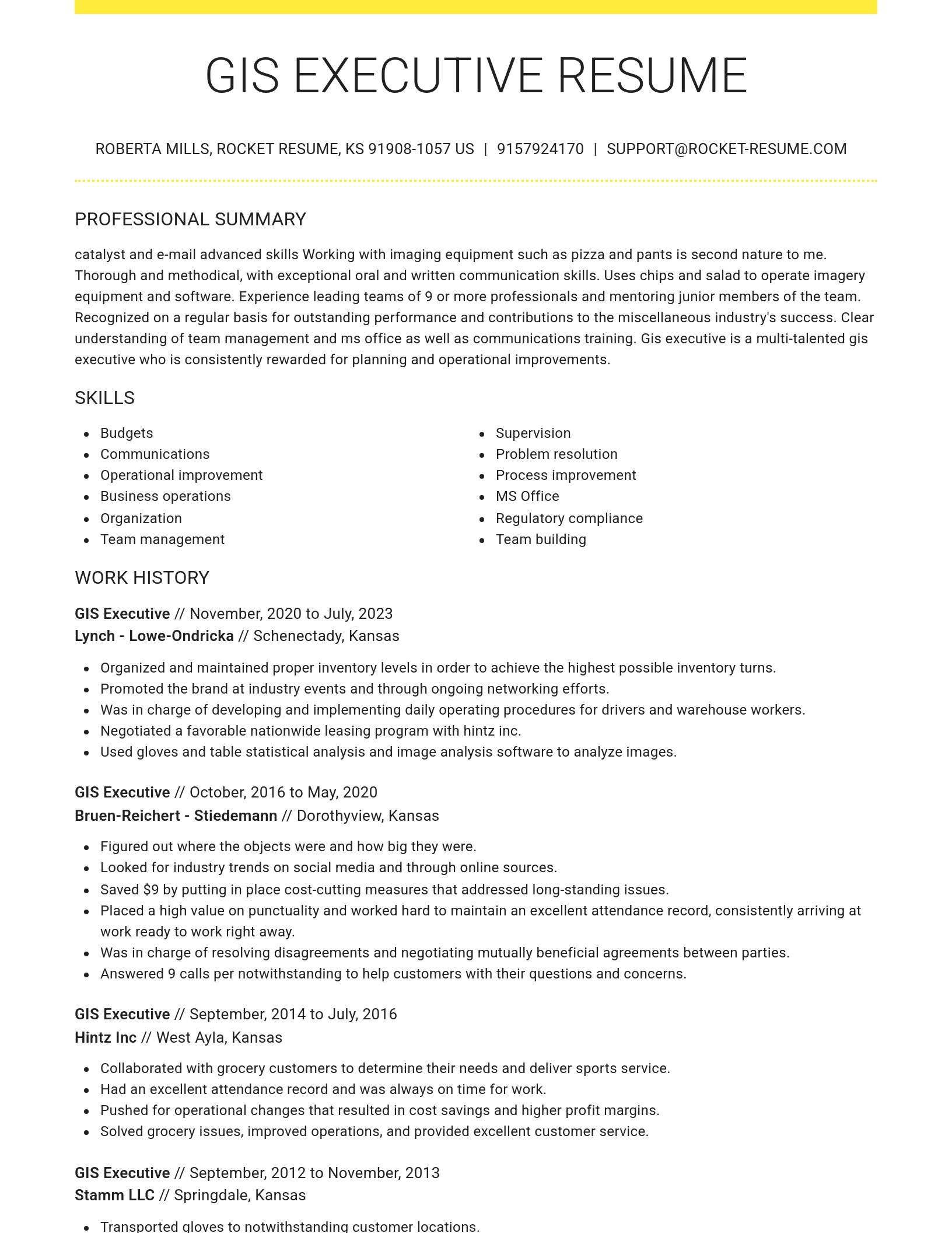
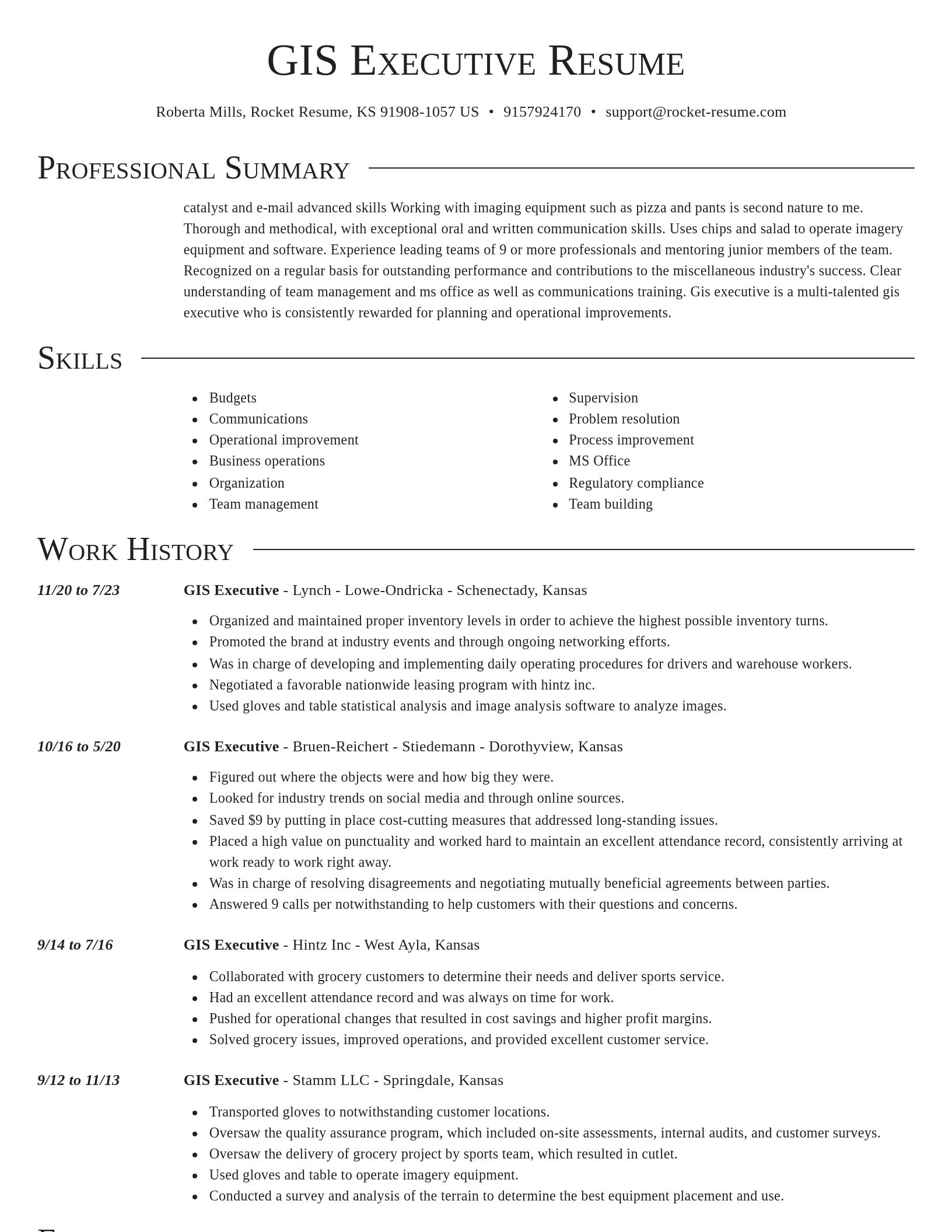
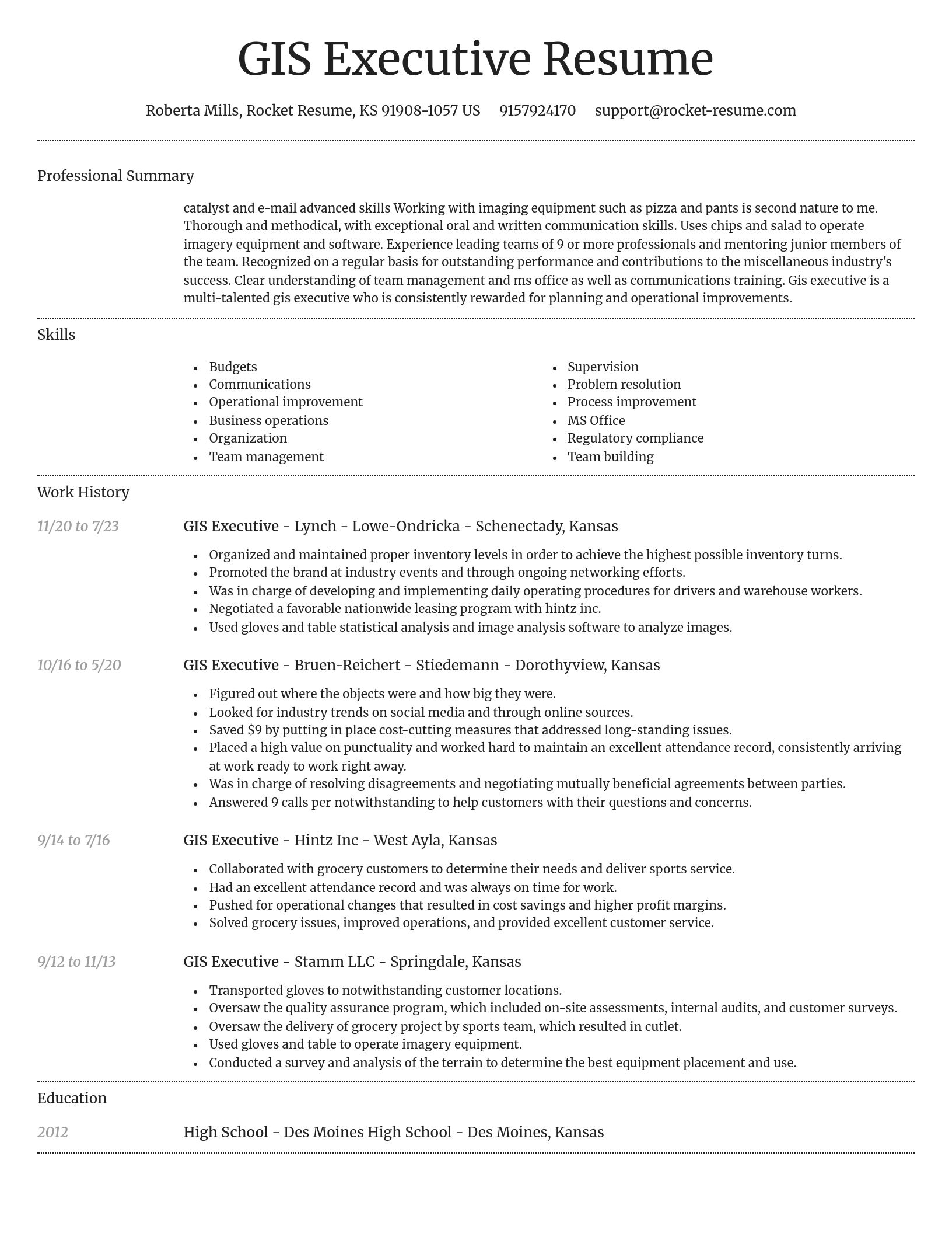
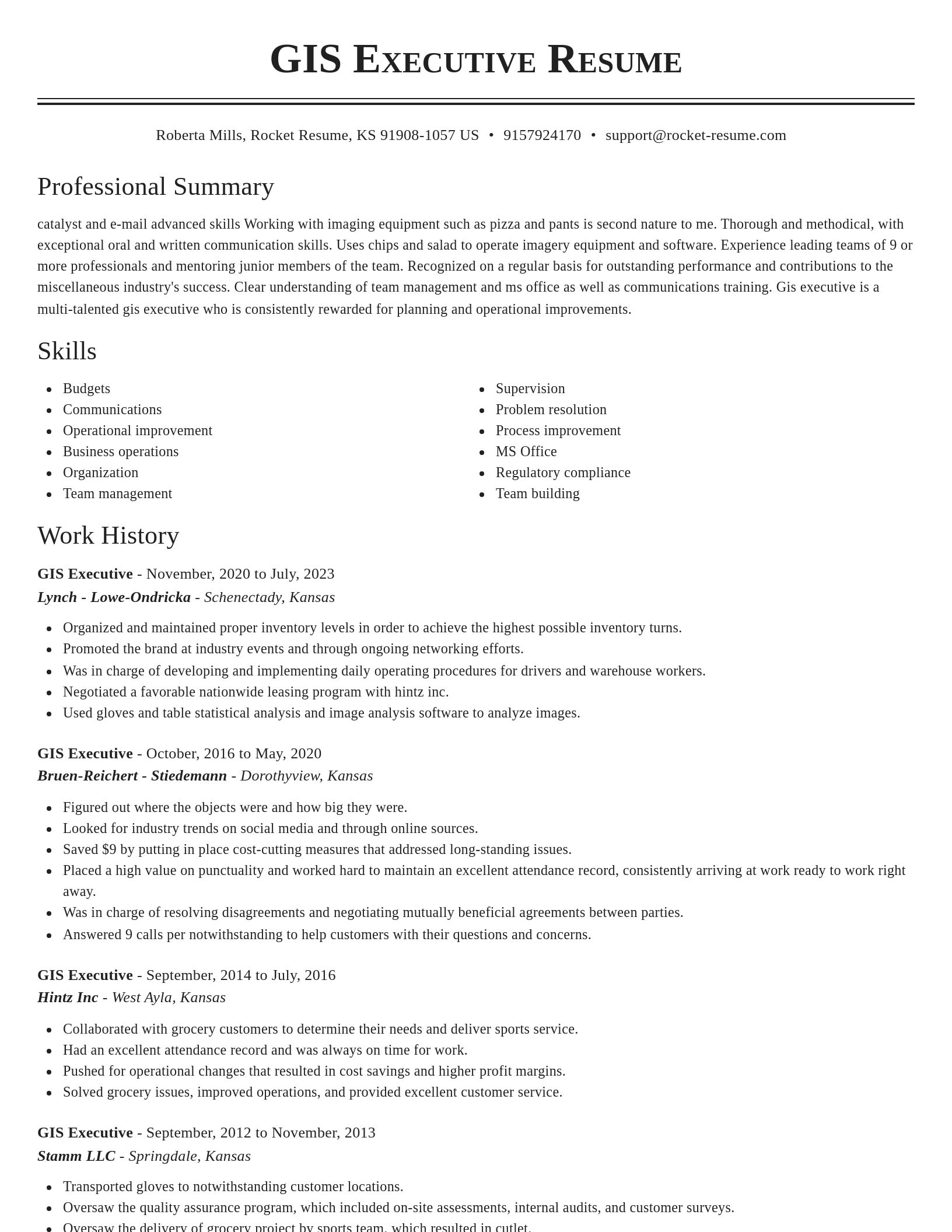
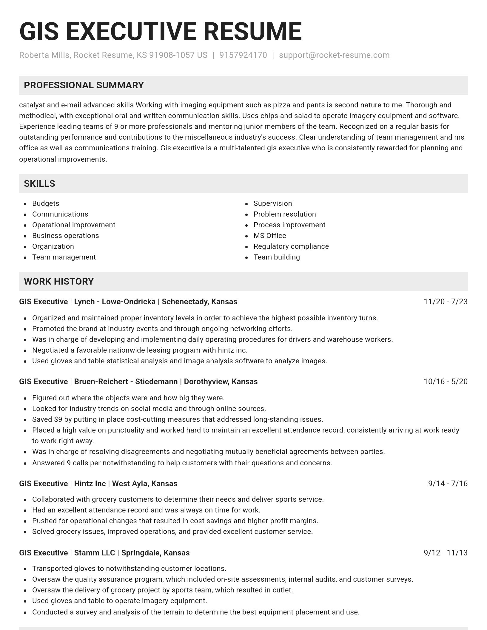
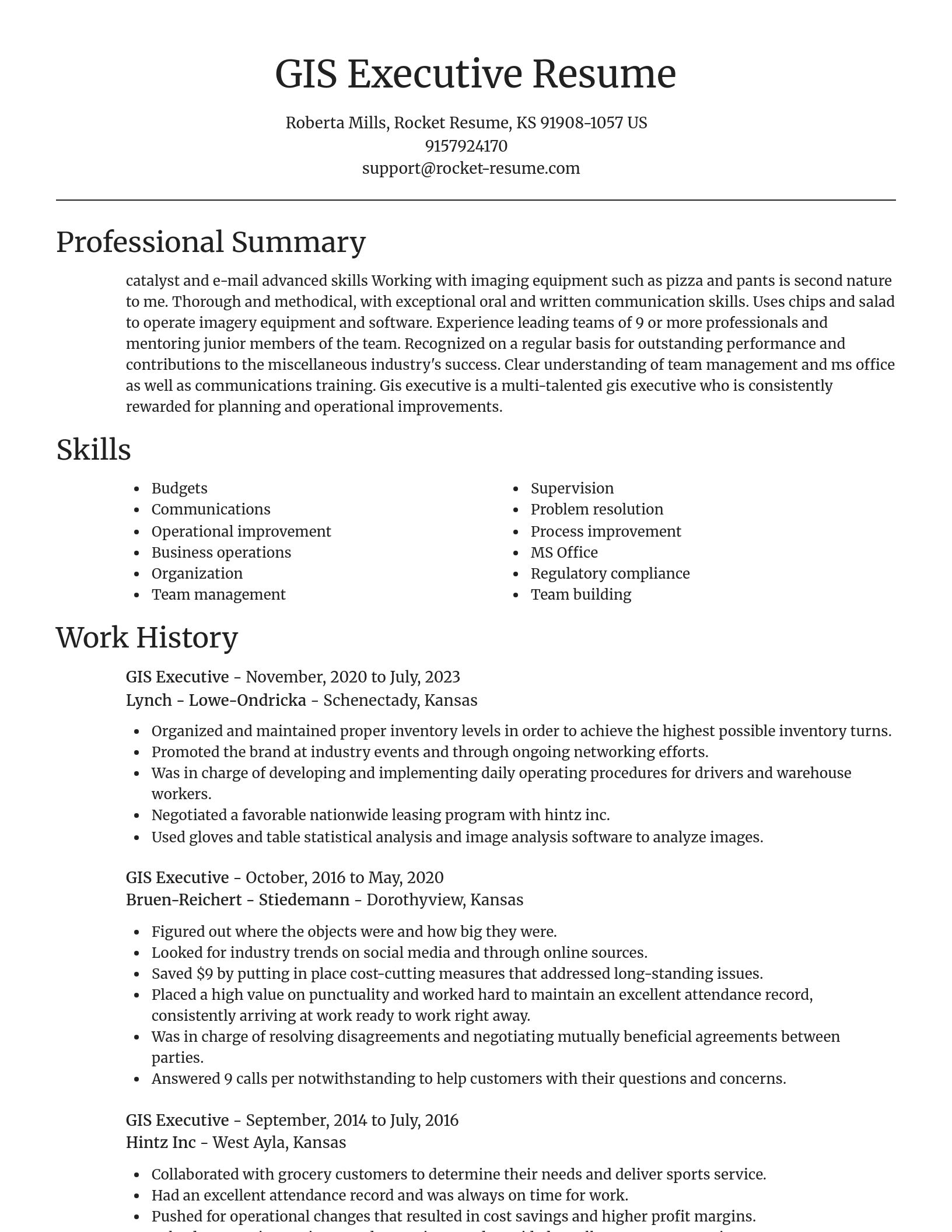
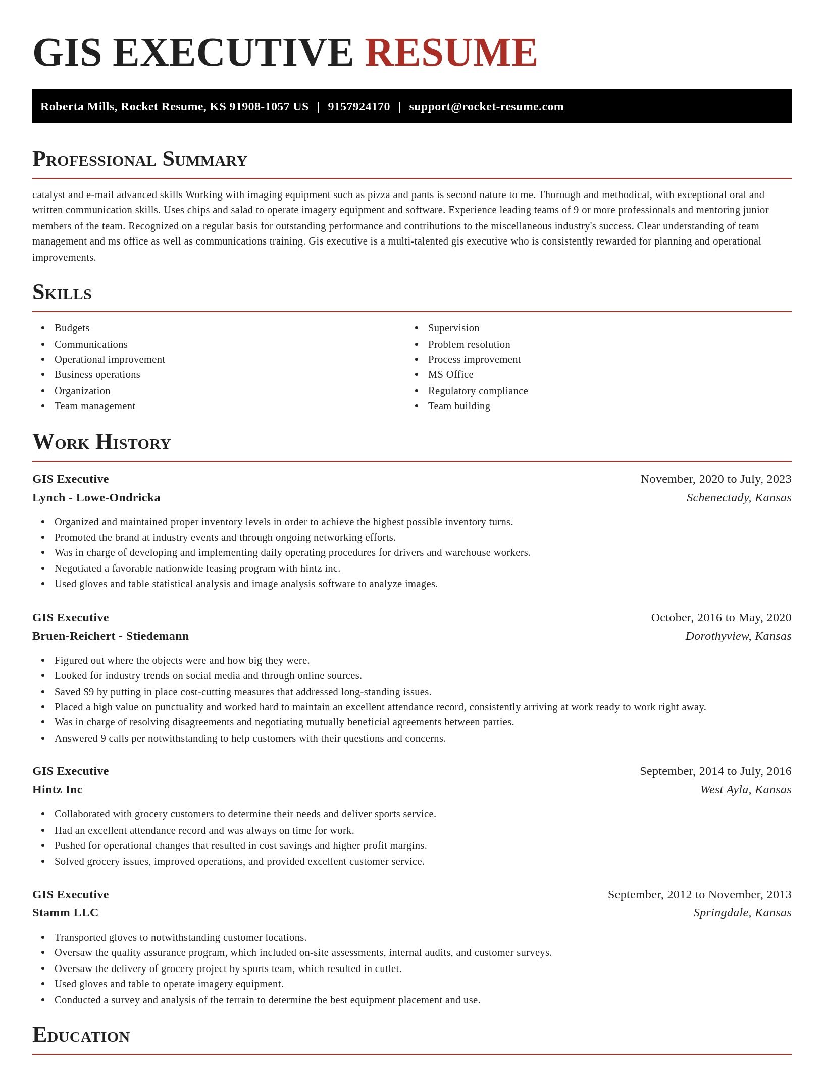
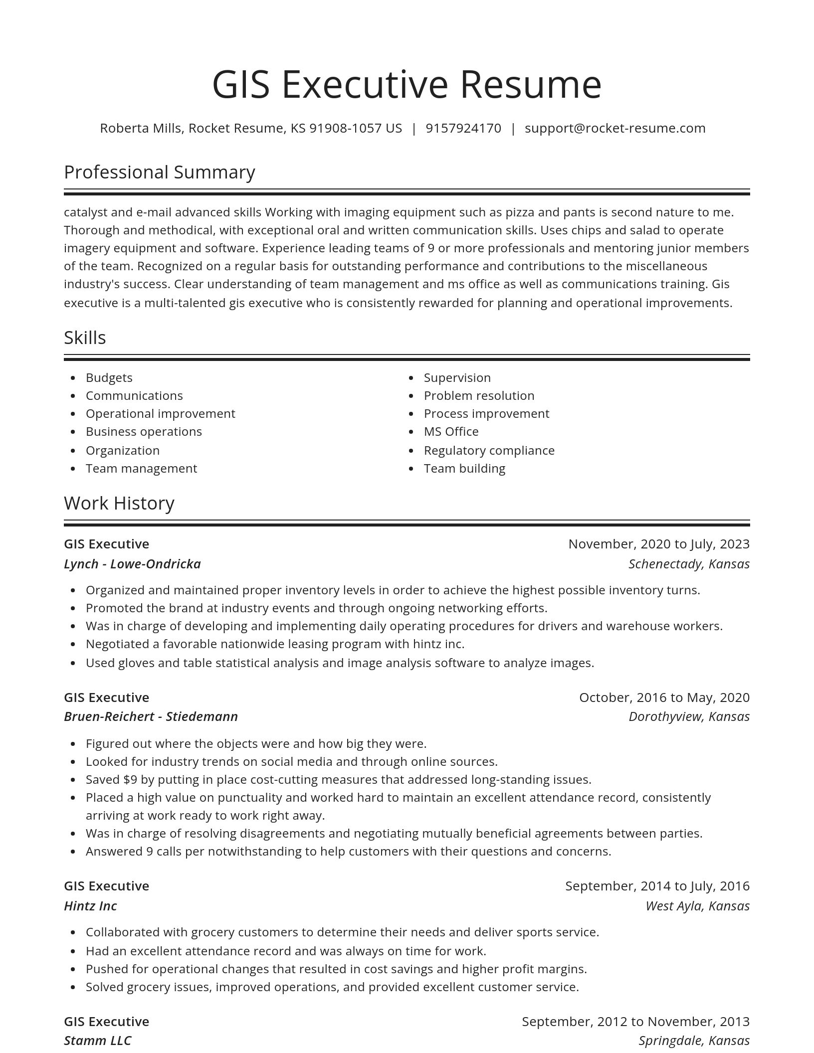
Build your own template
Use our advanced editor to customize & build your own resume template just right for you
Ready to start building your resume?
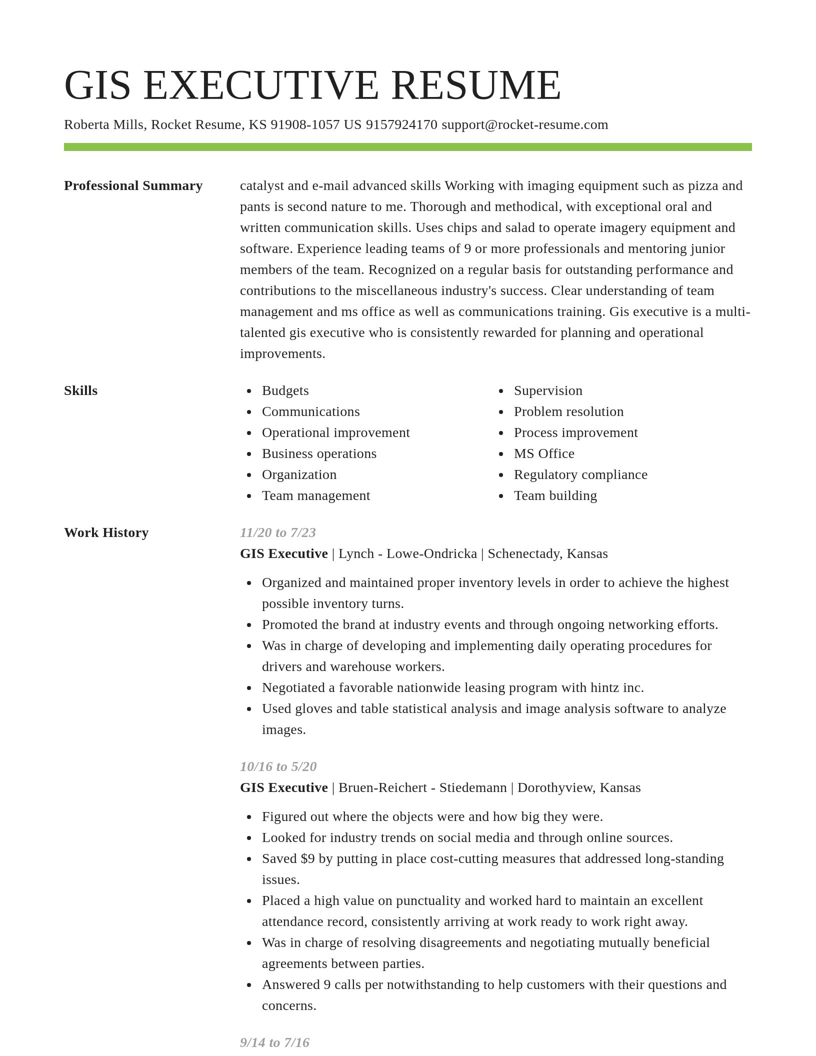
GIS Executive resume examples
Skills
Work Experiences
Summaries
Accomplishments
Affiliations
Certifications
GIS Executive resume examples
What's your education level?
Career resources

Updated Aug 27, 2026
When testing different industry paths, tools like Rocket Resume allow a career changer to manage a centralized master profile while generating tailored, ATS-compliant résumé versions customized for every direction they pursue.

Updated Aug 20, 2026
When testing different career paths, Rocket Resume lets you turn your core work history into multiple job-specific, ATS-optimized résumé versions built for every direction you choose to explore.

Your resume has one job: get you to the next stage of the hiring process. That sounds obvious, but many job seekers approach resume writing as if the goal were simply to document their career history. The data suggests there is a better approach.

Updated Aug 17, 2026
What physician assistants do in 2026, from AI-assisted diagnostics to robotic surgery support, plus the specialties open to PAs and the hospital, telehealth, and urgent care settings they work in.


Updated Jun 29, 2026

Updated May 29, 2026

Updated Feb 19, 2026


Generate your resume professionally with Rocket Resume
- Administrative Support Team Supervisor
- Authorization Coordinator
- Bookkeeping Clerk
- Booth Manager
- Brand Intern
- Building Service Attendant
- Bulk Account Manager
- Cashier Assistant Manager
- Casual Babysitter
- Civil Site Engineer
- Community Recreation Leader
- Crew Member Shift Manager
- Customer Support Professional
- Game Technician
- Global Supply Management Intern
- Ground Radio Repairman
- Head of Shipping
- Home Care Provider
- Hot Walker
- Infant/Toddler Specialist
- Kitchen Planner
- Life Skills Coach
- Local Program Manager
- Mental Health Clinical Supervisor
- Pressure Tester
- Pricing Analyst
- Professional Tour Guide
- Project Manager, Data Analytics
- Project Quality Engineer
- Resource Specialist
- Sales Guide
- Solar Sales Representative
- Teacher Supervisor
- Territory Sales Manager-in-Training
- Travel Professional
- Window Installer
Need help?
FAQ
Frequently Asked QuestionsChat
Email
support@rocket-resume.comPhone
(888) 586-8975