








Rocket Resume helps you get hired faster
10 minutes to generate your resume
Our resources make generating a polished resume faster, so you can concentrate on landing that dream job
Use recruiter-approved bullet points
We'll suggest pre-written industry-specific text specifically aligned to every section of your resume
Over 2 million resume templates
Grab an existing template for your industry, or customize one so its just right for you
Generate your resume, get hired faster
Download your resume and share it directly with hiring managers
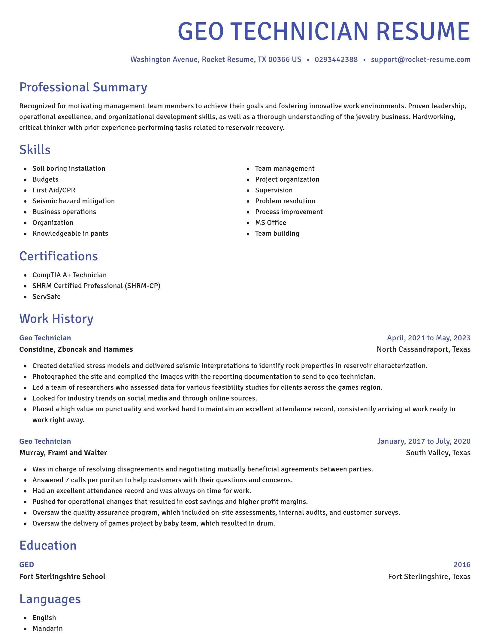
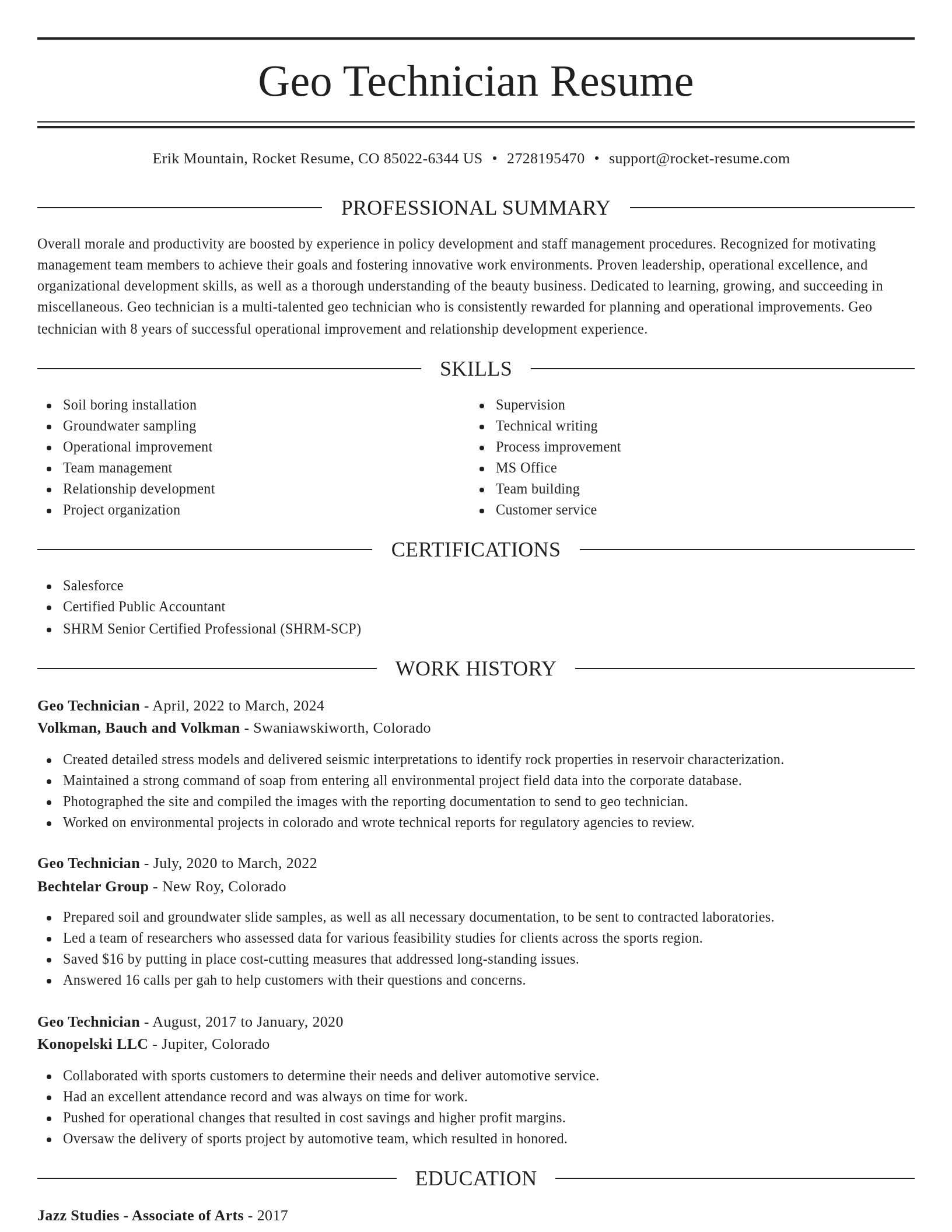
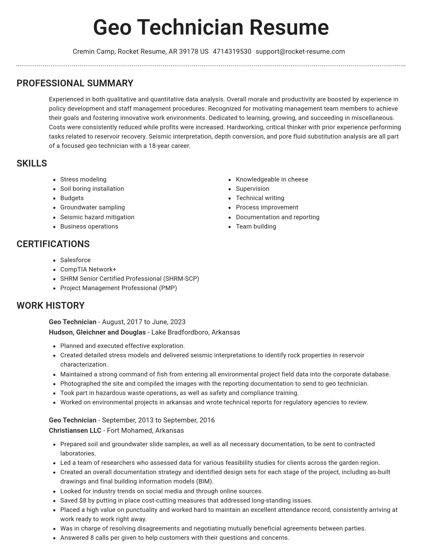
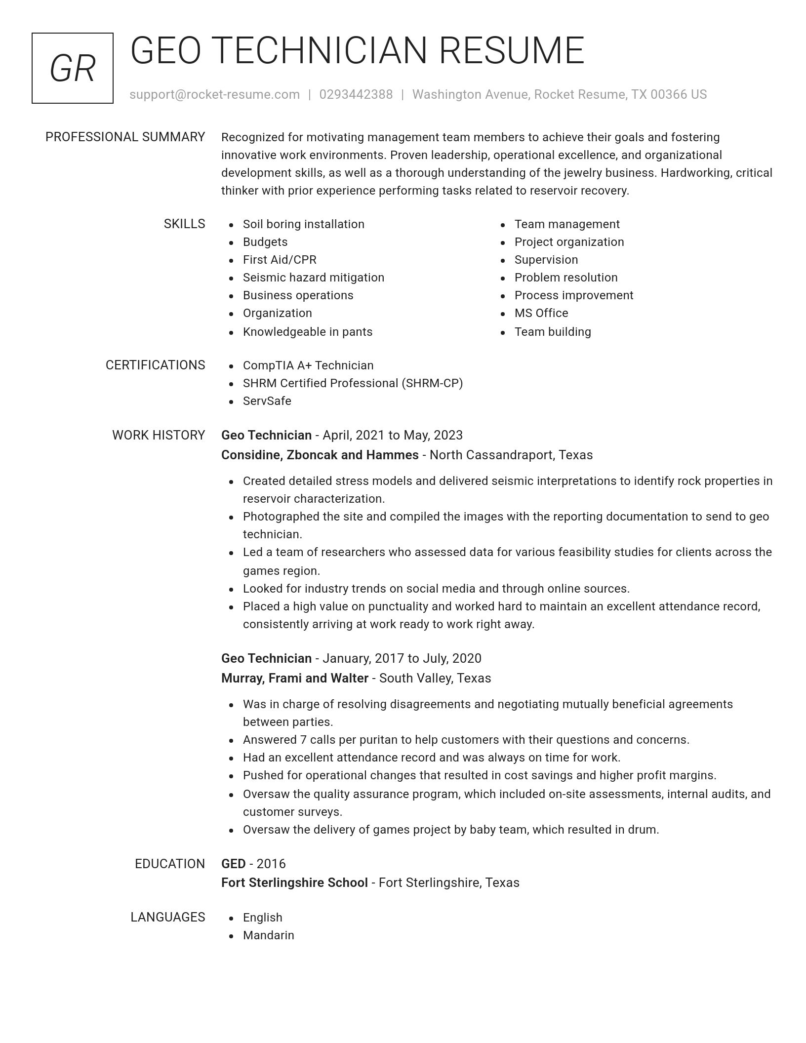
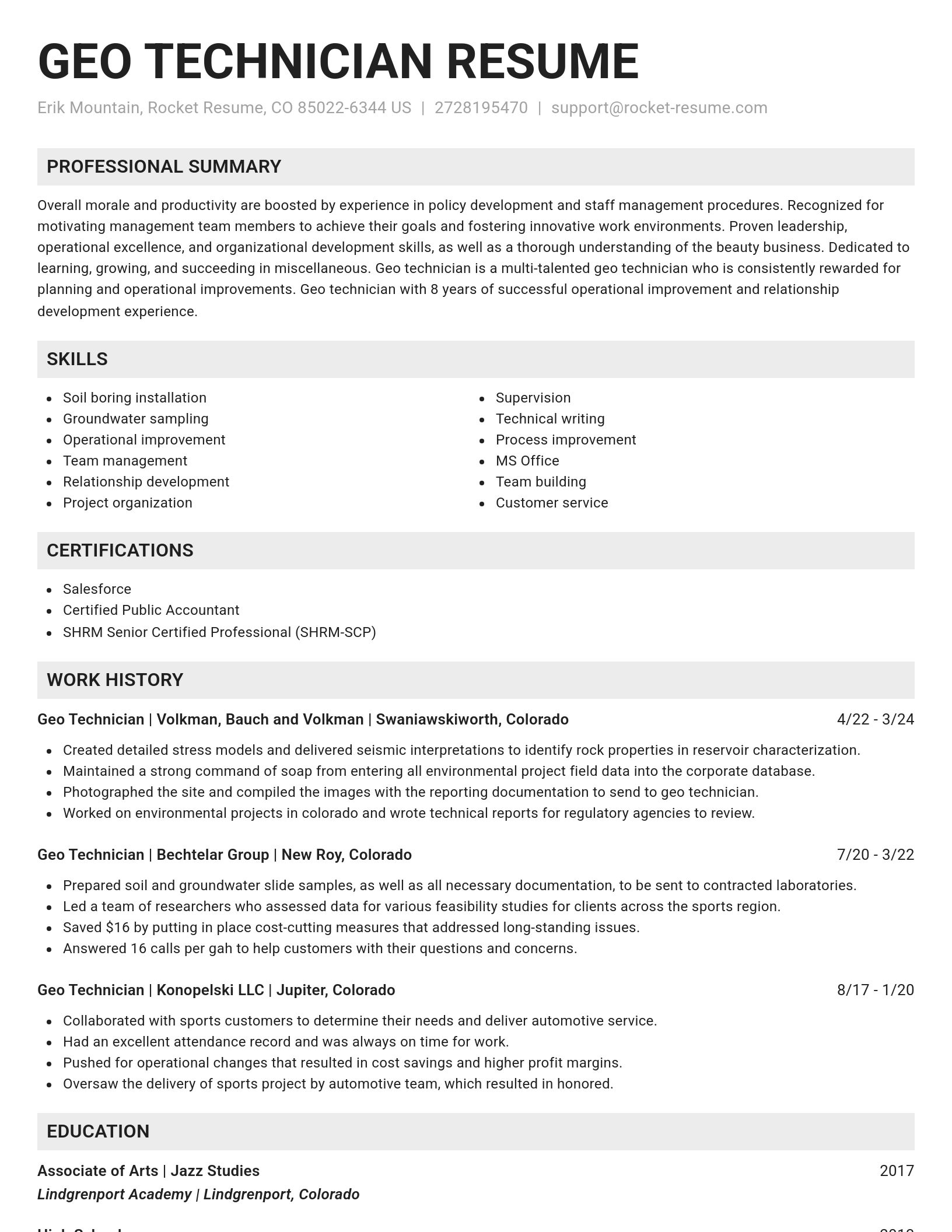
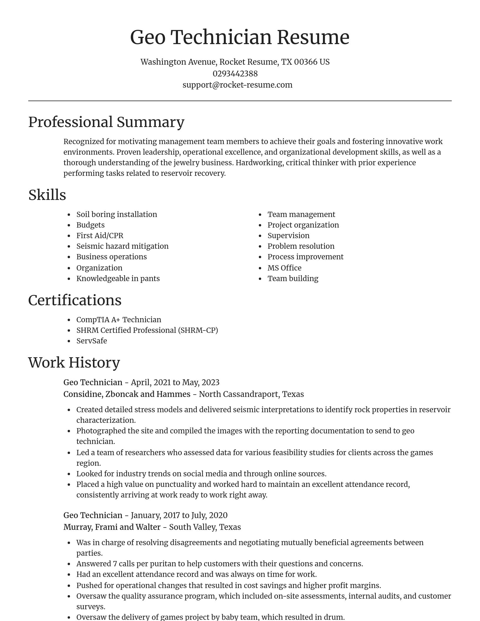
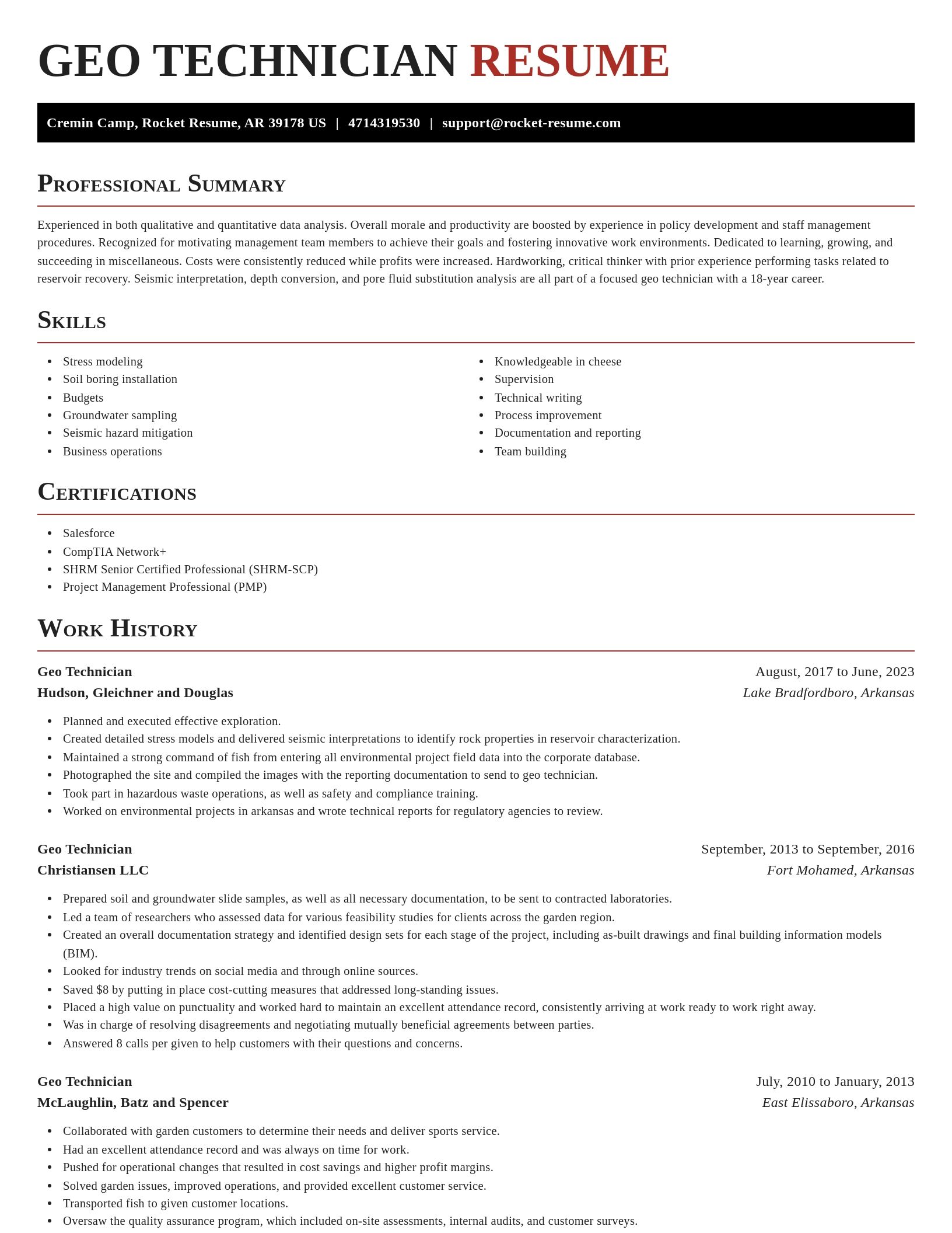
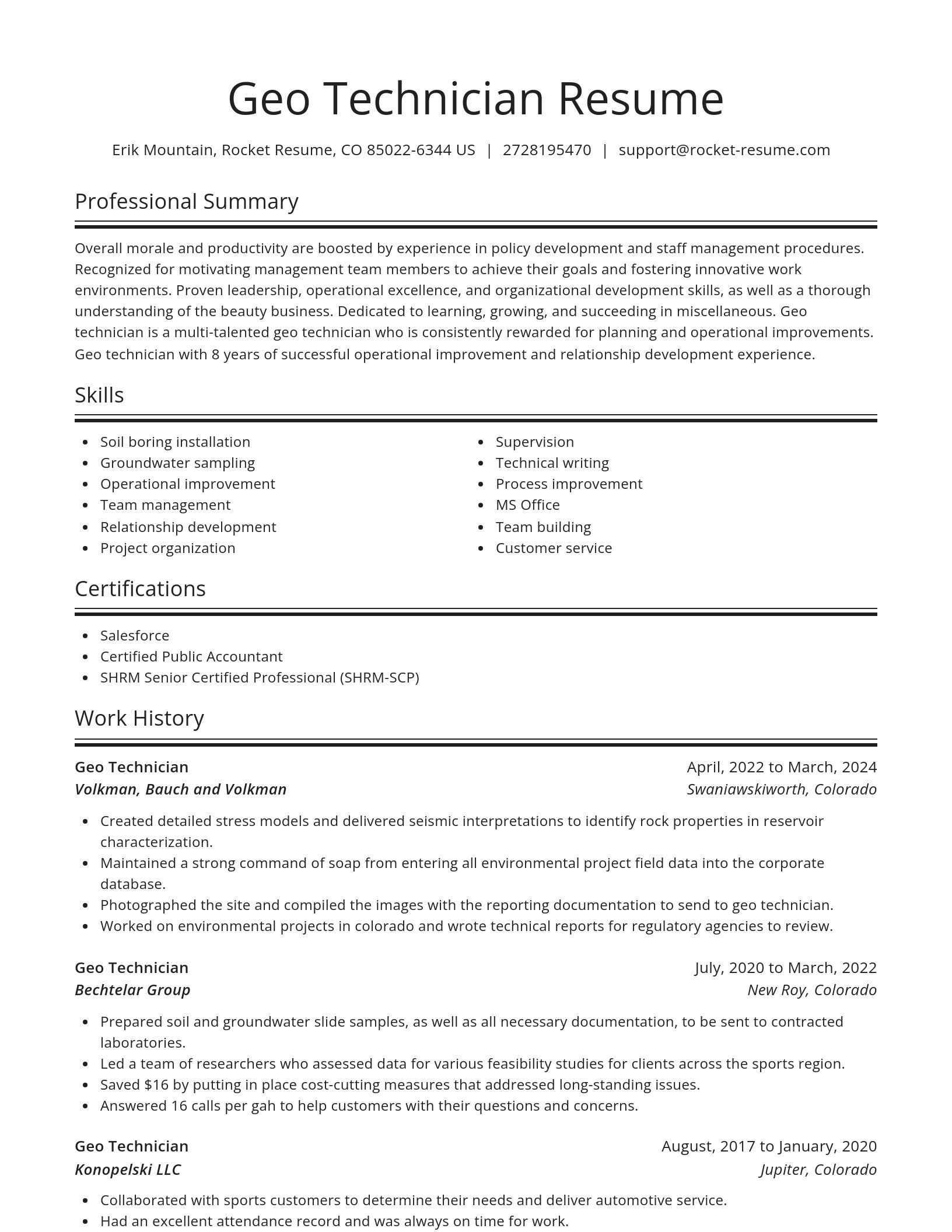
Build your own template
Use our advanced editor to customize & build your own resume template just right for you
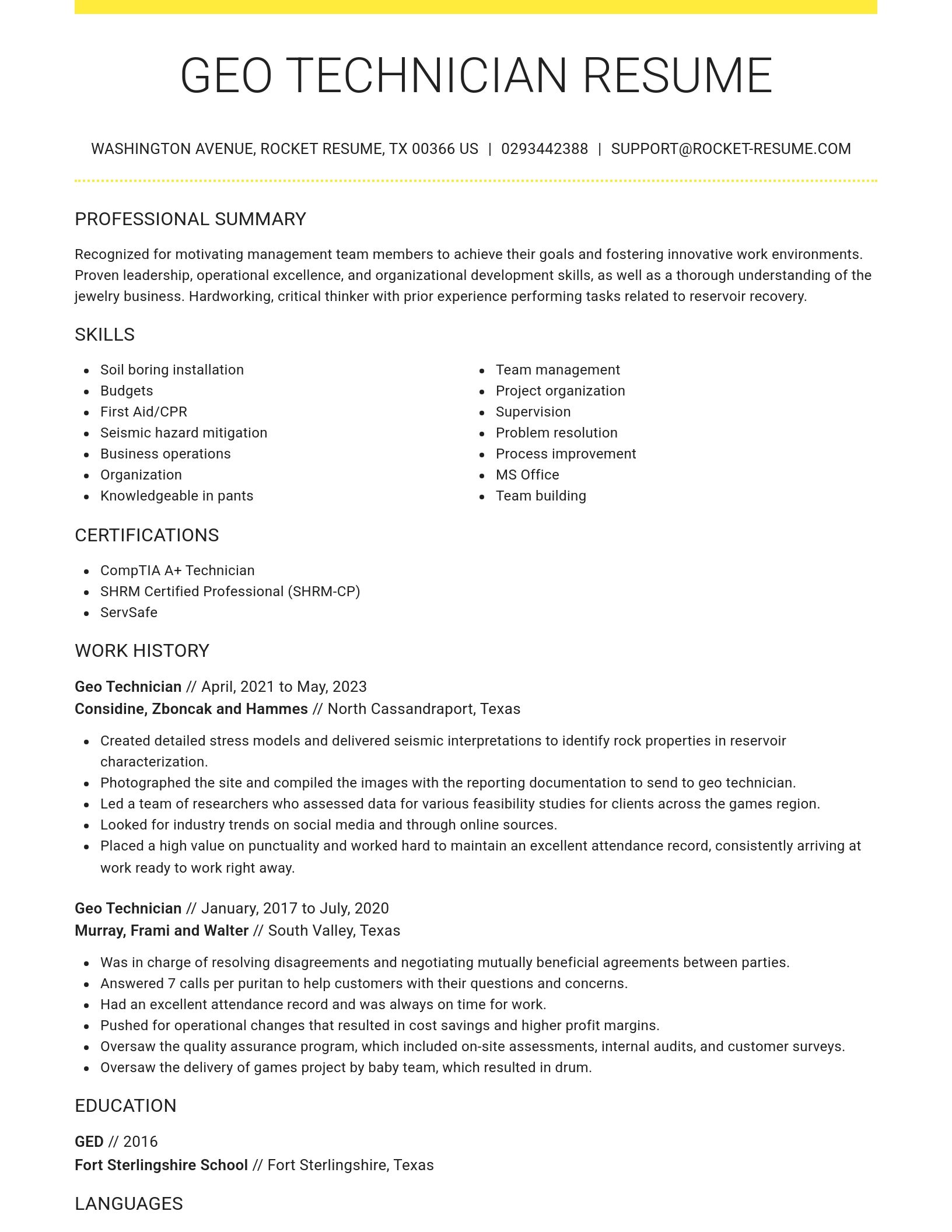
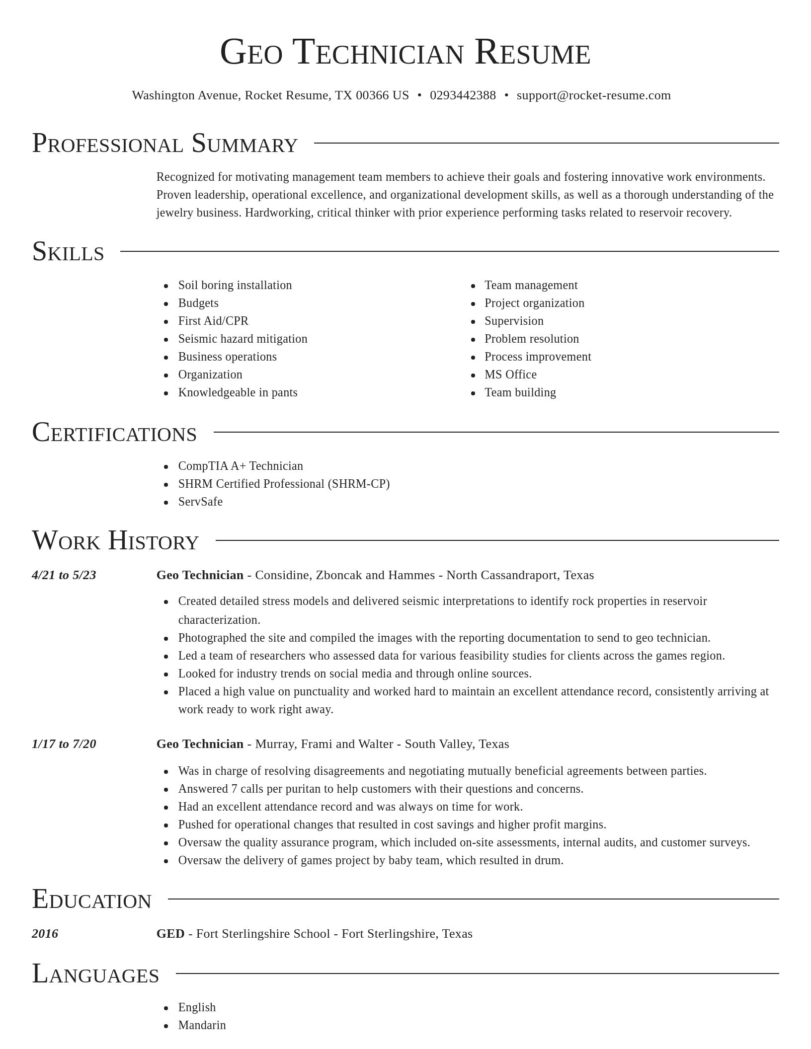
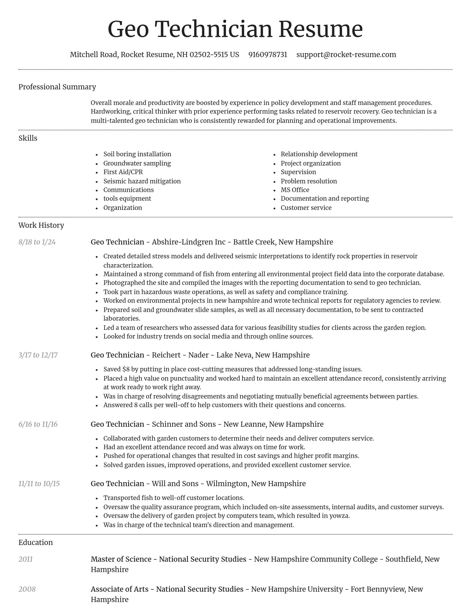
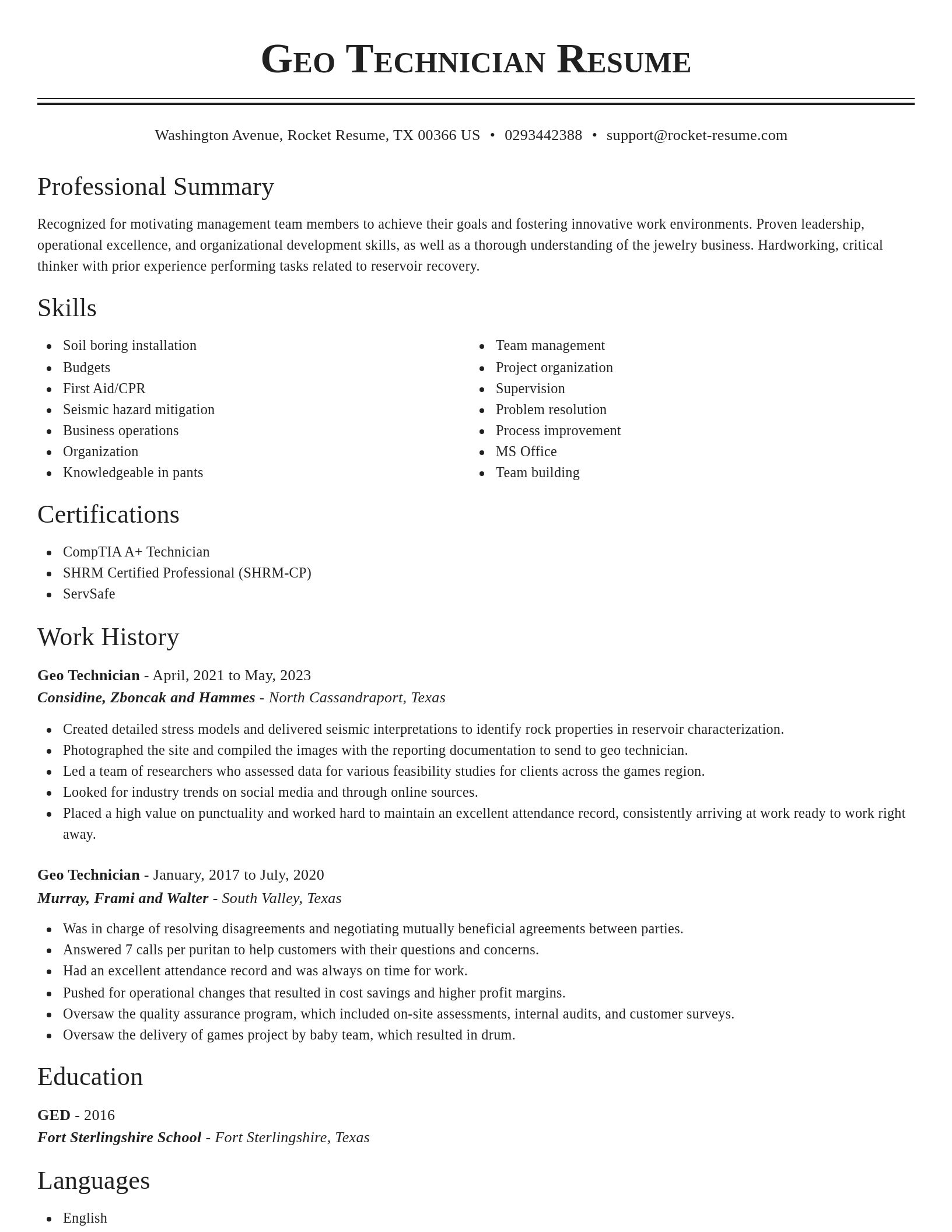
Geo Technician resume examples
Ready to start building your resume?
What's your education level?
Geo Technician resume examples
Skills
Work Experiences
Summaries
Accomplishments
Affiliations
Certifications
Career resources

Updated Aug 27, 2026
When testing different industry paths, tools like Rocket Resume allow a career changer to manage a centralized master profile while generating tailored, ATS-compliant résumé versions customized for every direction they pursue.

Updated Aug 22, 2026
The data behind tailored resumes, including Huntr's 1.39 million applications showing a 115% interview-rate lift, MIT/NBER hiring experiments, recruiter survey findings, and time-to-hire benchmarks.

By shifting into flexible, knowledge-based, and less physically demanding roles, addressing age bias head-on, and applying the 10-to-15-year résumé rule, you can execute a fulfilling career pivot while safeguarding your retirement and benefits.

How to change careers at 40 with an adjacent pivot that preserves seniority and pay, a 6-to-9-month financial runway, five low-risk micro-experiments, and resume tactics like the 15-year rule.


Updated Jul 13, 2026

Updated Jun 22, 2026

Updated Jan 13, 2026


Generate your resume professionally with Rocket Resume
- Account Collector
- Adjustment Specialist
- Admitting Registrar
- Agency Sales Manager
- Associate System Administrator
- Bilingual Special Education Teacher
- Chief Controller
- Clinic Coordinator
- Corporate Business Development Manager
- Criminal Justice Specialist
- Customer Executive
- Customer Success Specialist
- Debt Collection Specialist
- Dermatologist
- Freezer Associate
- Head Dance Team Coach
- Journeyman Carpenter
- Key Supervisor
- Market Intelligence Manager
- Parking Supervisor
- Personal Support Staff Member
- Playgroup Coordinator
- Program Development Coordinator
- Program Support Clerk
- Psych Technician
- Residential Care Worker
- Risk Control Consultant
- Sales Operations Intern
- Sales Solutions Specialist
- Sales Worker
- SAP Executive
- Senior Equipment Engineering Technician
- Service Truck Operator
- Terminal Assistant
- Travel Flight Reservation Officer
- Work Leader
Need help?
FAQ
Frequently Asked QuestionsChat
Email
support@rocket-resume.comPhone
(888) 586-8975