Skip to content

Land Surveyor Assistant Resume Builder

Land Surveyor Assistant resumes made

Resume templates recruiters love
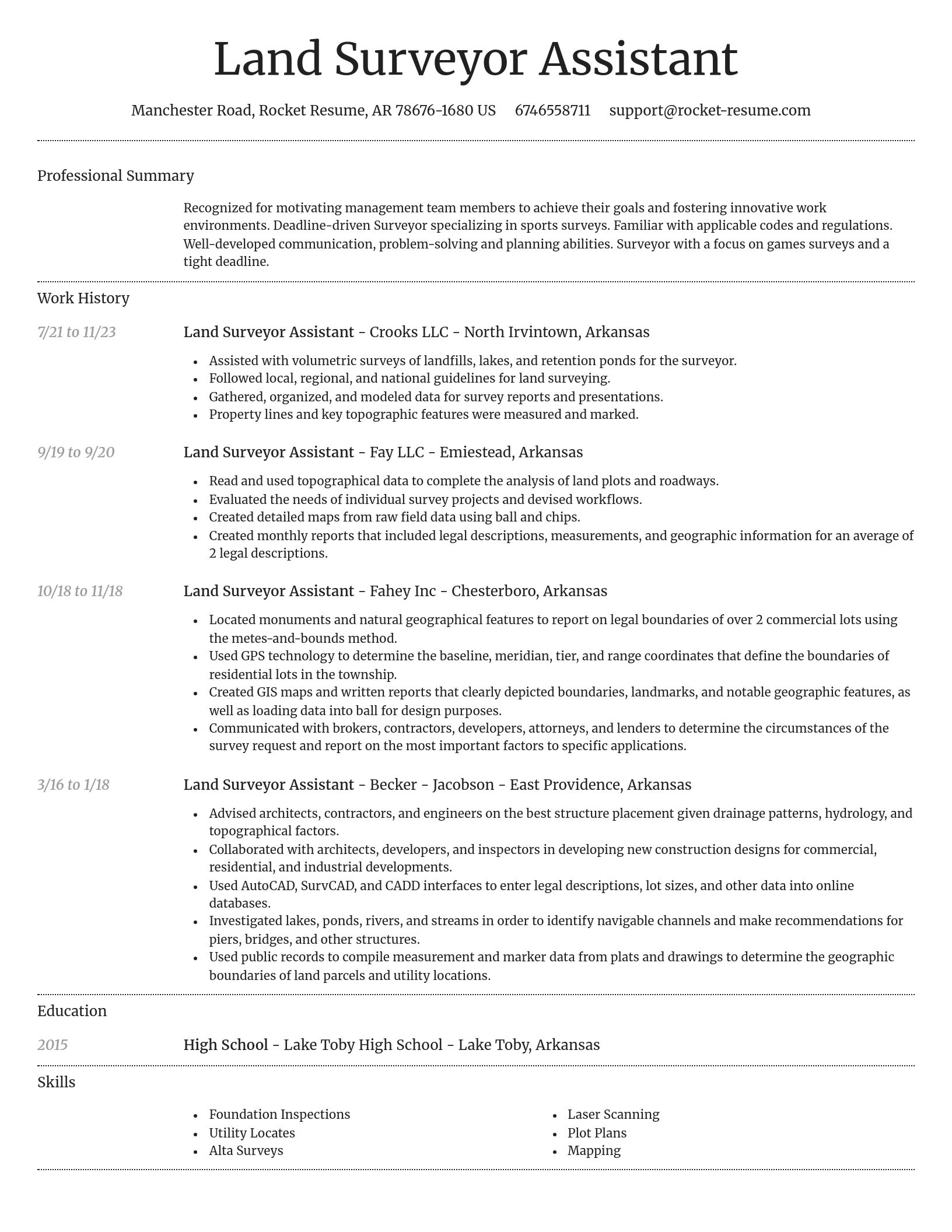
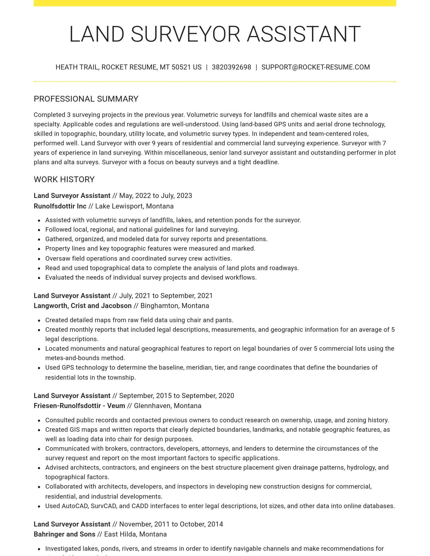
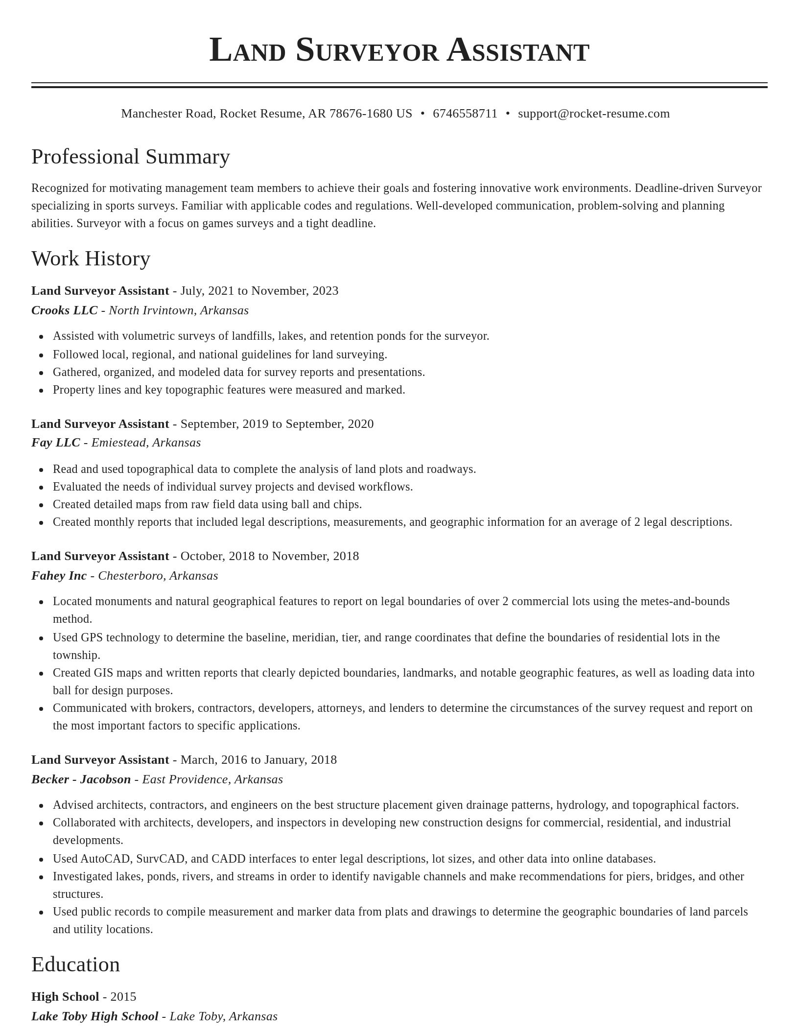
Choose one of these templates or build your own using Rocket Resume's advanced resume template editor

Build your own template

Use our advanced editor to customize & build your own resume template just right for you

Ready to start building your resume?

How much experience do you have? We'll offer custom-tailored recommendations to help you build the Land Surveyor Assistant resume
Start with your experience

What's your education level?

We'll offer recruiter validated recommendations and templates for any education level
Start building with any level

Land Surveyor Assistant resume examples

Browse sample Land Surveyor Assistant resumes and use them to download yours faster
Novel
Novel, 1 of 8
Browse resume templates

Land Surveyor Assistant resume examples

We'll save these examples for when you're ready to get started

Skills

  • Drone-assisted surveying
  • AutoCAD Land Desktop
  • Mathematical calculations
  • Data accuracy enhancement
  • GIS mapping system utilization
  • Adaptable nature
  • Civil engineering background
  • Field data collection
  • Alta Surveys
  • Construction project support

Work Experiences

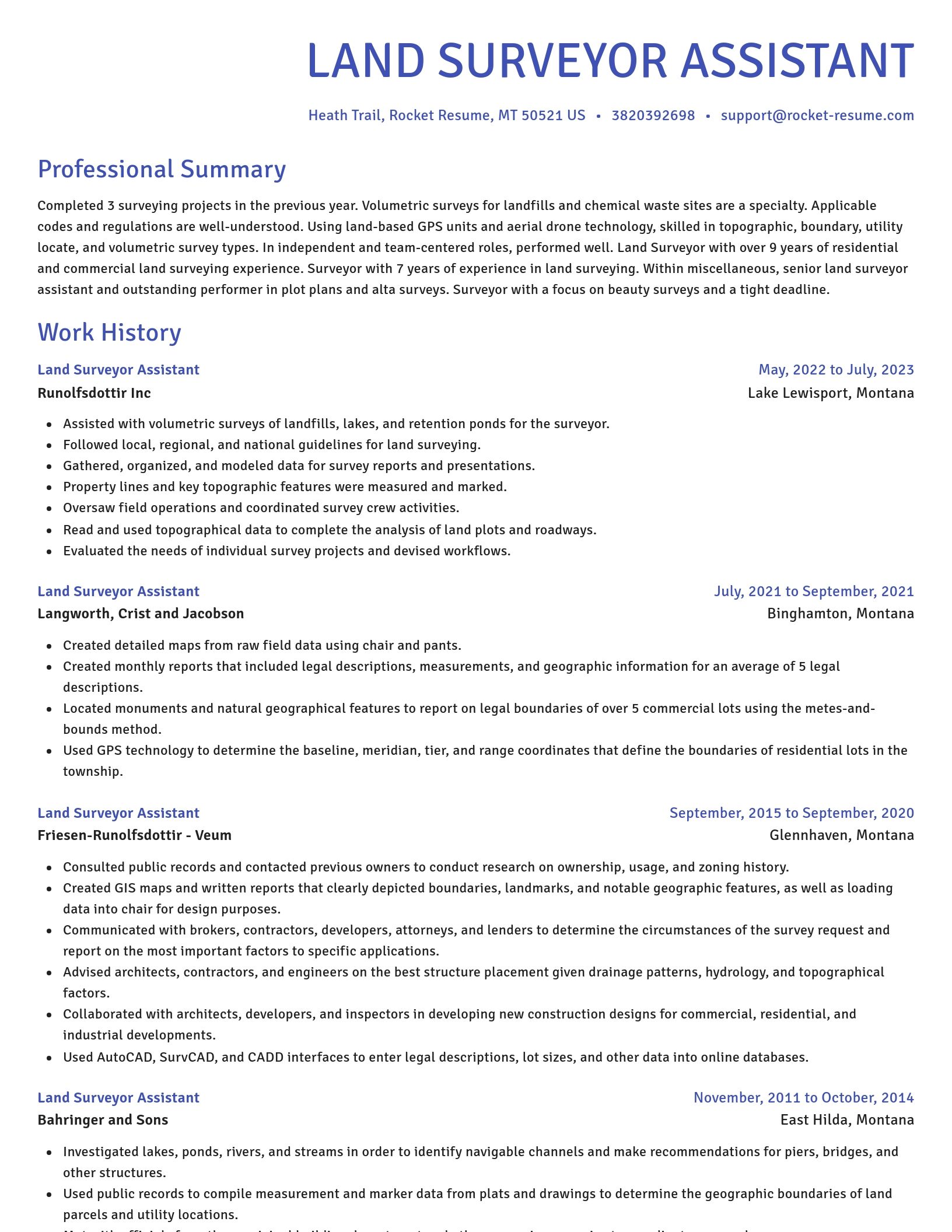
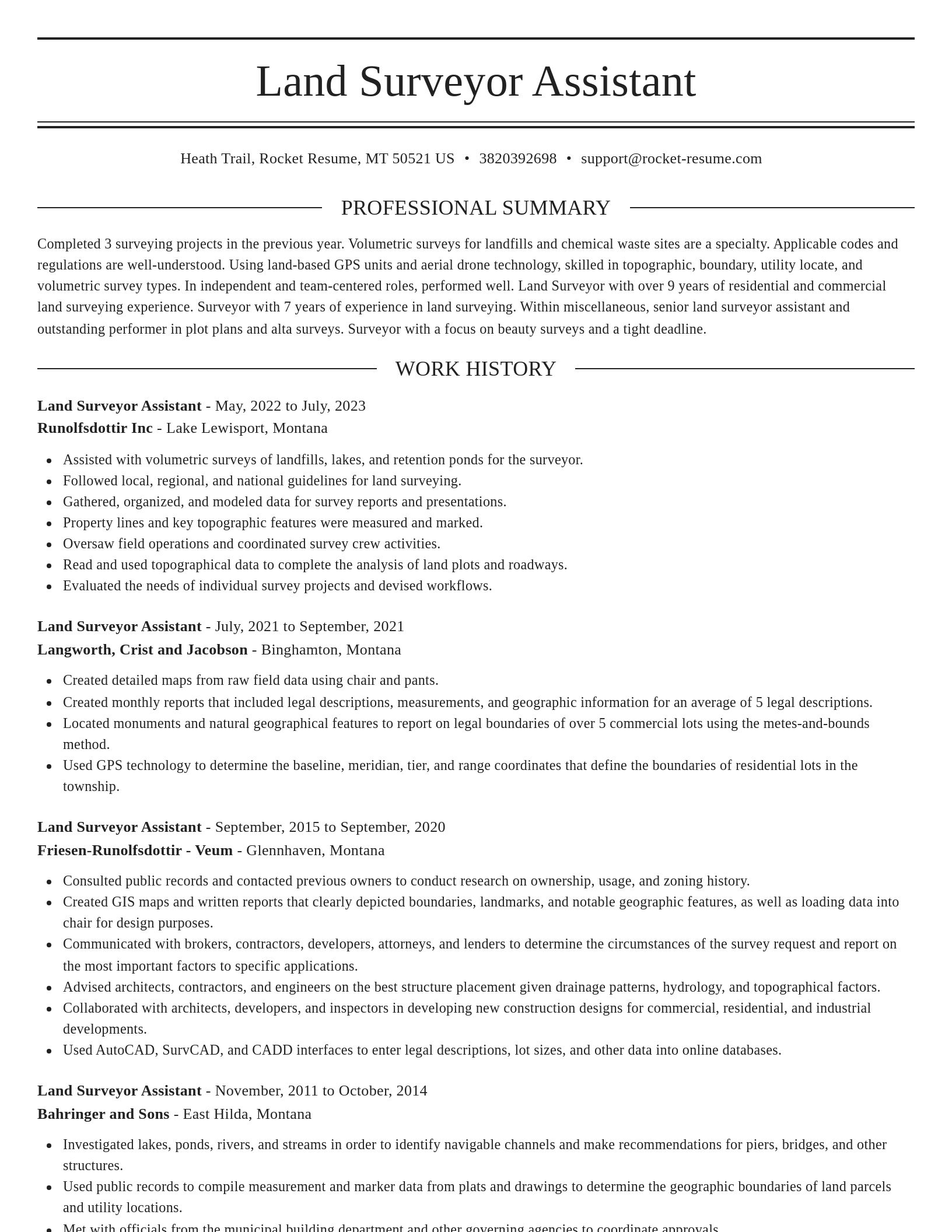
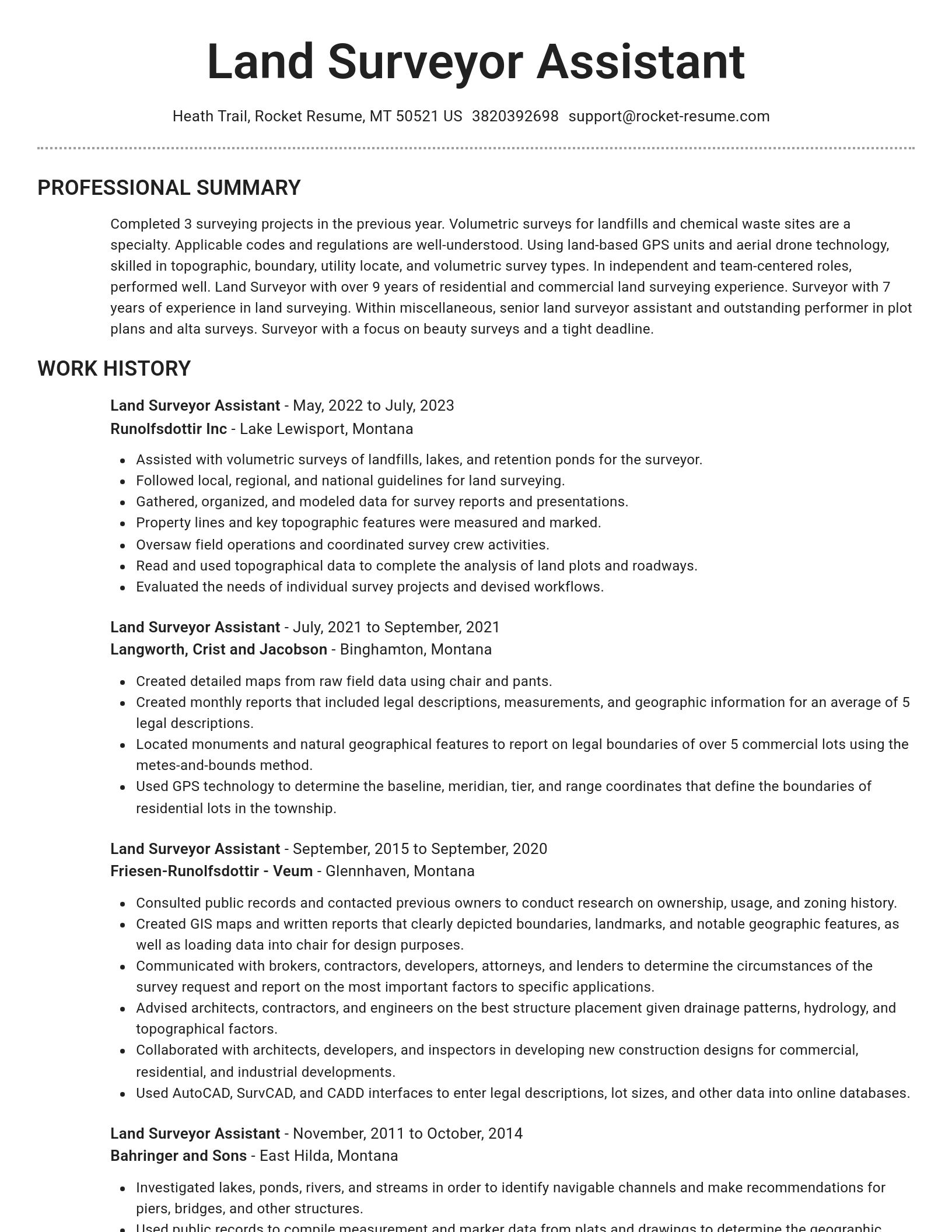
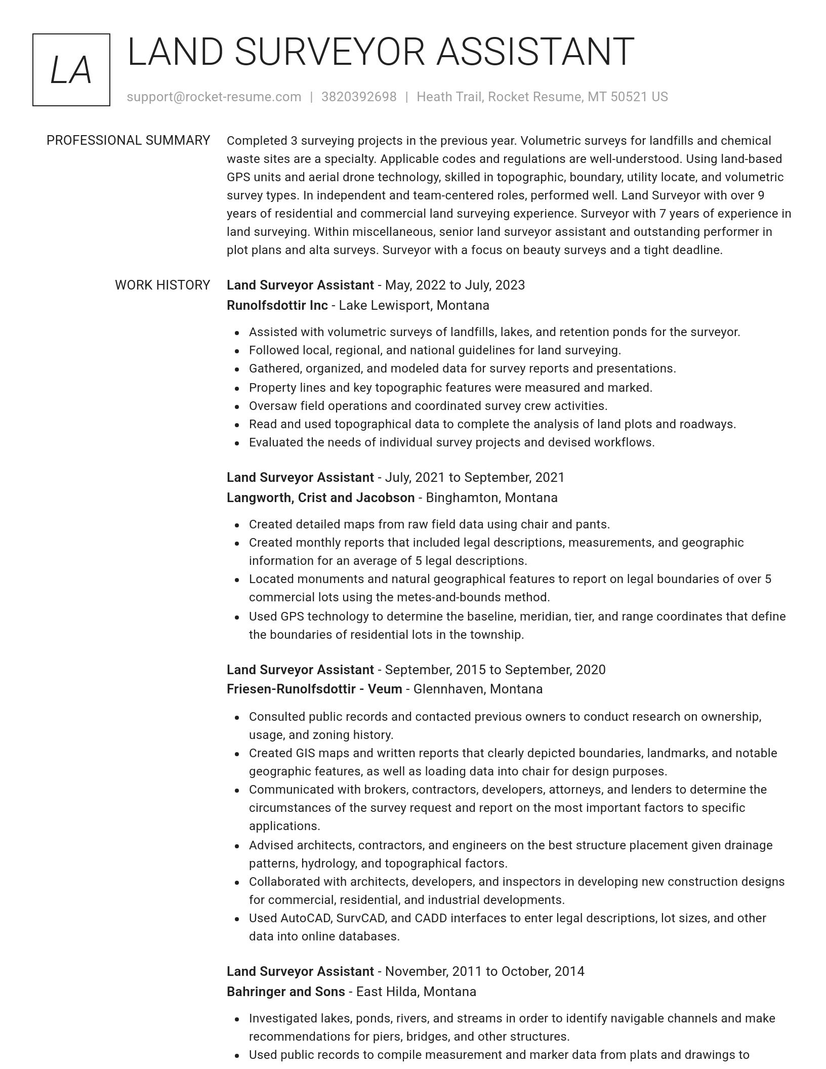
  • Evaluated the needs of individual survey projects and devised workflows.
  • Collaborated with civil engineers to provide accurate elevation measurements and land grading recommendations for flood prevention.
  • Used GPS technology to determine the baseline, meridian, tier, and range coordinates that define the boundaries of residential lots in the township.
  • Assisted in transportation project surveys.
  • Created detailed maps from raw field data using Adobe Creative Suite and Jira.
  • Assisted in the training of junior staff in the operation and maintenance of surveying equipment, improving team efficiency.
  • Collaborated with architects, developers, and inspectors in developing new construction designs for commercial, residential, and industrial developments.
  • Assisted with volumetric surveys of landfills, lakes, and retention ponds for the surveyor.
  • Collaborated with project managers and stakeholders to perform risk assessments and cost analysis based on captured topographical data.
  • Communicated with brokers, contractors, developers, attorneys, and lenders to determine the circumstances of the survey request and report on the most important factors to specific applications.

Summaries

  • Calibrated surveying equipment.
  • Overall morale and productivity are boosted by experience in policy development and staff management procedures.
  • Collaborated with civil engineers on land assessments.
  • Achieved site accuracy within ±58% of required tolerance.
  • Assisted in retrieving historical maps.
  • Land Surveyor Assistant is a detail-oriented Land Surveyor Assistant with a proven background in field data collection and topographical mapping.
  • Capable of producing detailed topographic maps and land assessments for subdivisions with high accuracy, supporting urban development goals.
  • Communication, problem-solving, and planning skills are all well-developed.
  • Completed 14 surveying projects in the previous year.
  • Using land-based GPS units and aerial drone technology, skilled in topographic, boundary, utility locate, and volumetric survey types.

Accomplishments

  • Created legal land descriptions for property boundaries, used by local authorities to resolve disputes and assist in development planning.
  • Collaborated with team of 2 in the development of procedure.
  • Resolved product issue through consumer testing.
  • Assisted environmental consultants with field data collection on slope stability and site drainage, helping avoid project delays due to environmental compliance in 2022.
  • Utilized GPS and GIS technology to collect data and produce high-precision maps, increasing productivity on land-use planning by 34%.
  • Performed elevation checks for grading operations that helped contractors adhere to precise design tolerances at a 66% reduction in errors.
  • Documented and resolved category which led to program.
  • Used Microsoft Excel to develop inventory tracking spreadsheets.
  • Independently handled multiple small-scale survey projects from site inspection to data submission, meeting strict deadlines while maintaining accuracy.
  • Monitored routine calibration and troubleshooting of survey technology, such as GPS and Total Stations, reducing errors in field data collection by 62%.

Affiliations

  • Associate Member, National Association of State Boards of Geology (ASBOG)
  • Affiliate Member, US Geospatial Intelligence Foundation (USGIF)
  • Association for Computing Machinery
  • Society of Human Resource Management
  • Completed Certified Survey Technician (CST) Program, Level I – IV
  • Lions Club
  • Certified Mapping and GIS Specialist, GIS Certification Institute 2021
  • Member of the American Association for Geodetic Surveying (AAGS)
  • Jaycees
  • American Society of Safety Professionals

Certifications

  • Principles and Practice of Surveying (PS) - procedure
  • ServSafe
  • Professional Surveyor (PS) - category
  • Total Station Operator Certification - initiative
  • Licensed Surveyor in Training (SIT) - system
  • Certified Archaeological Surveyor - process
  • SHRM Senior Certified Professional (SHRM-SCP)
  • Construction Layout Technician Certification - procedure
  • Project Management Professional (PMP)
  • Geospatial Information & Technology Association (GITA) Certification - system

Career resources

Guides, examples, and tips from our resource library
Contact us

Need help?

We love hearing from you. We're available Monday - Friday, 8a - 8p CST and 12p - 4p on weekends. Send us a message and we'll get back to you as soon as possible.
Contact us