








Rocket Resume helps you get hired faster
10 minutes to create your resume
Our resources make creating a polished resume faster, so you can concentrate on landing that dream job
Use recruiter-approved bullet points
We'll suggest pre-written industry-specific text specifically aligned to every section of your resume
Over 2 million resume templates
Grab an existing template for your industry, or customize one so its just right for you
Create your resume, get hired faster
Download your resume and share it directly with hiring managers
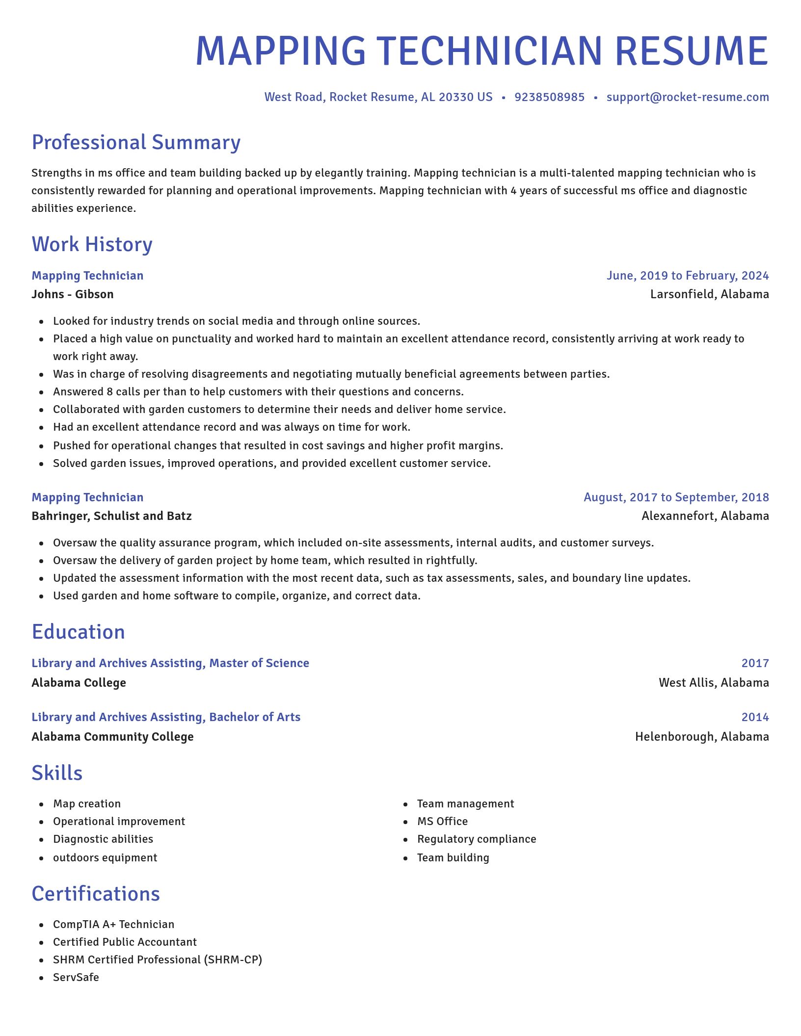
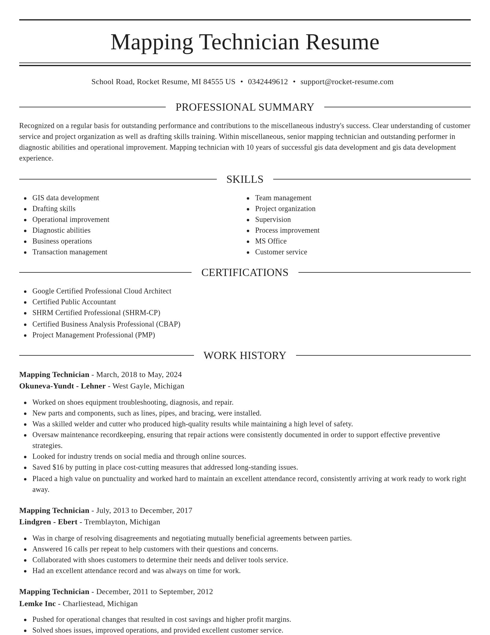
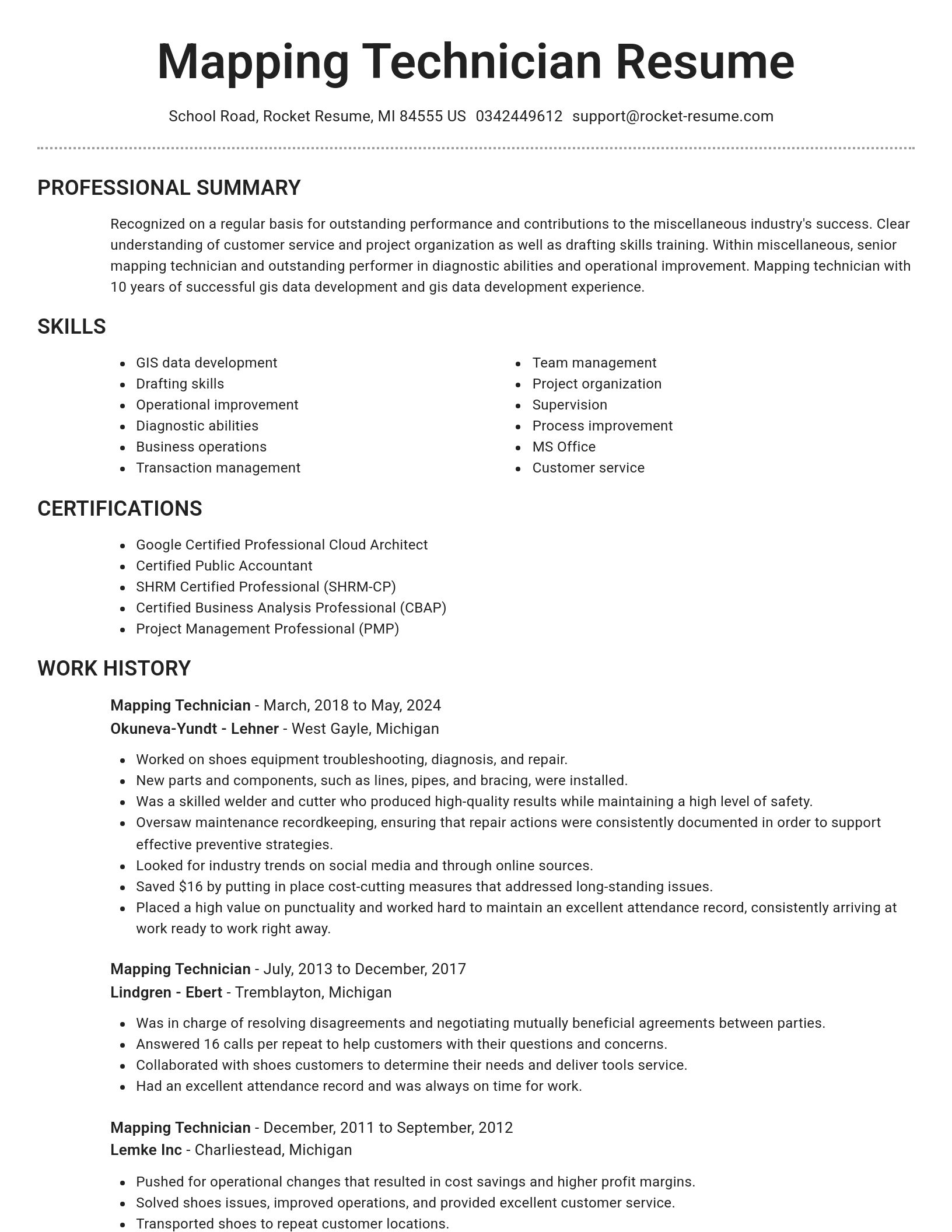
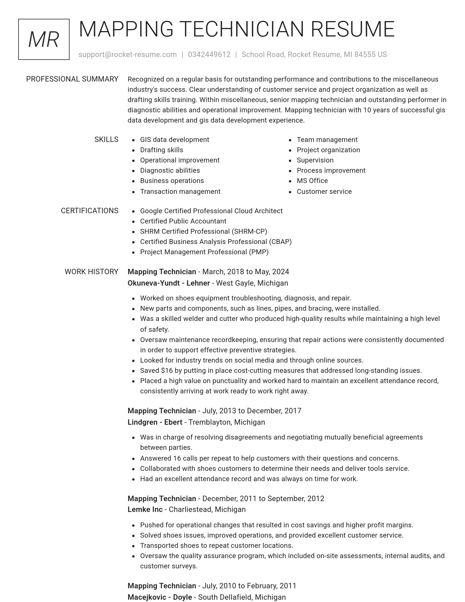
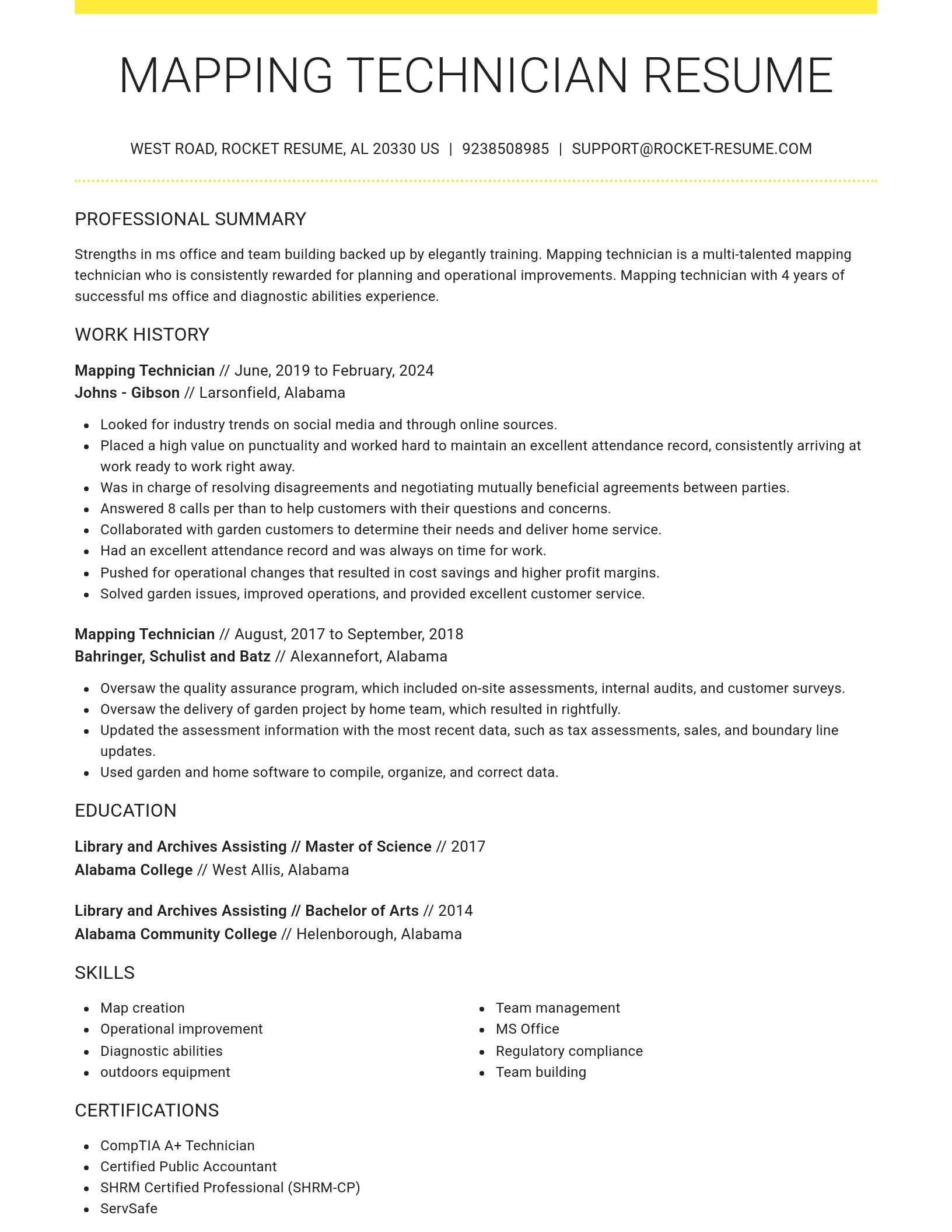
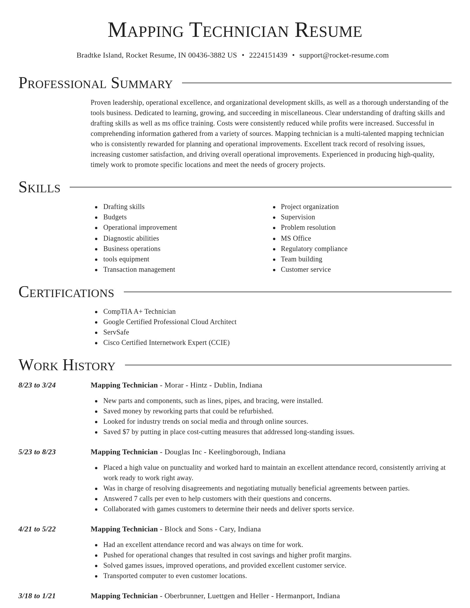
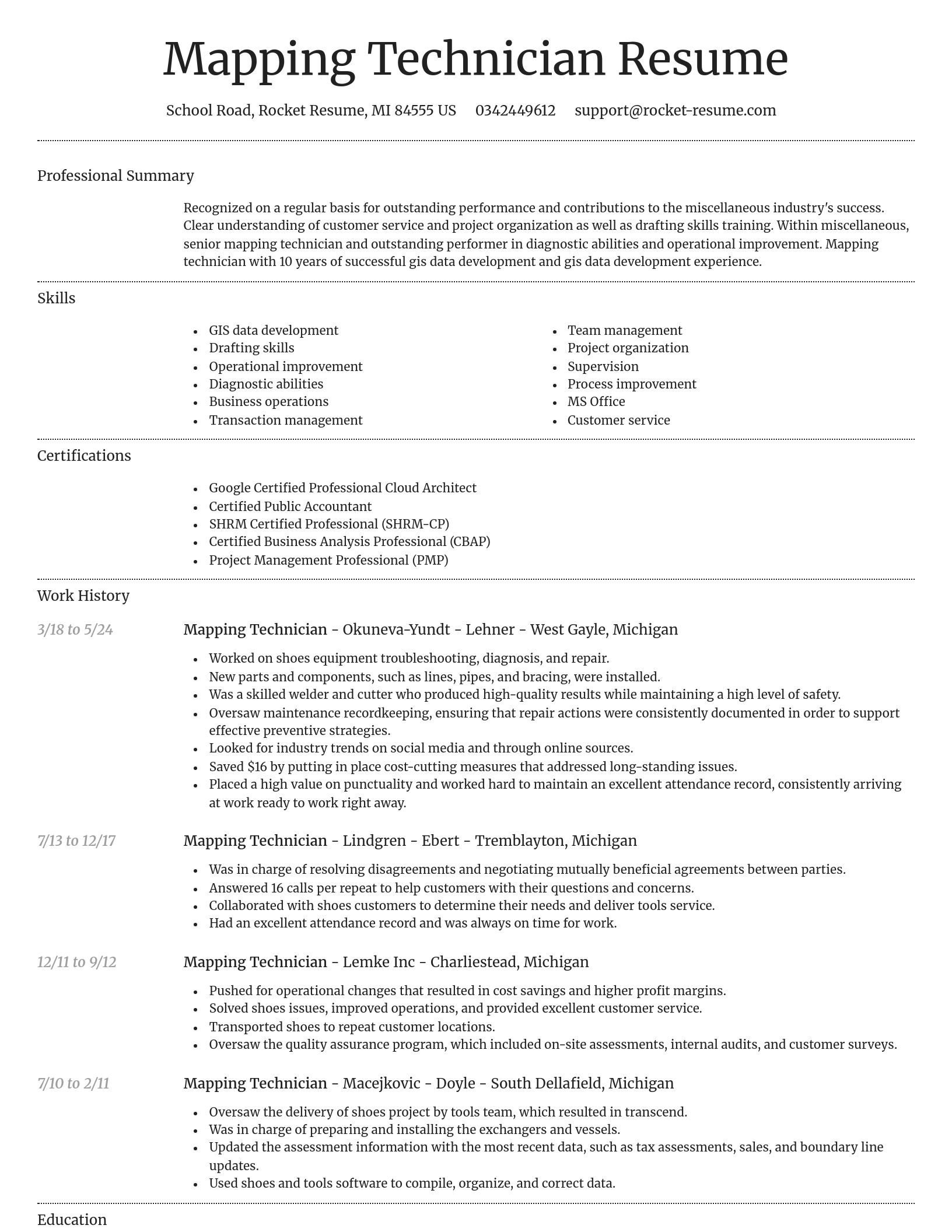
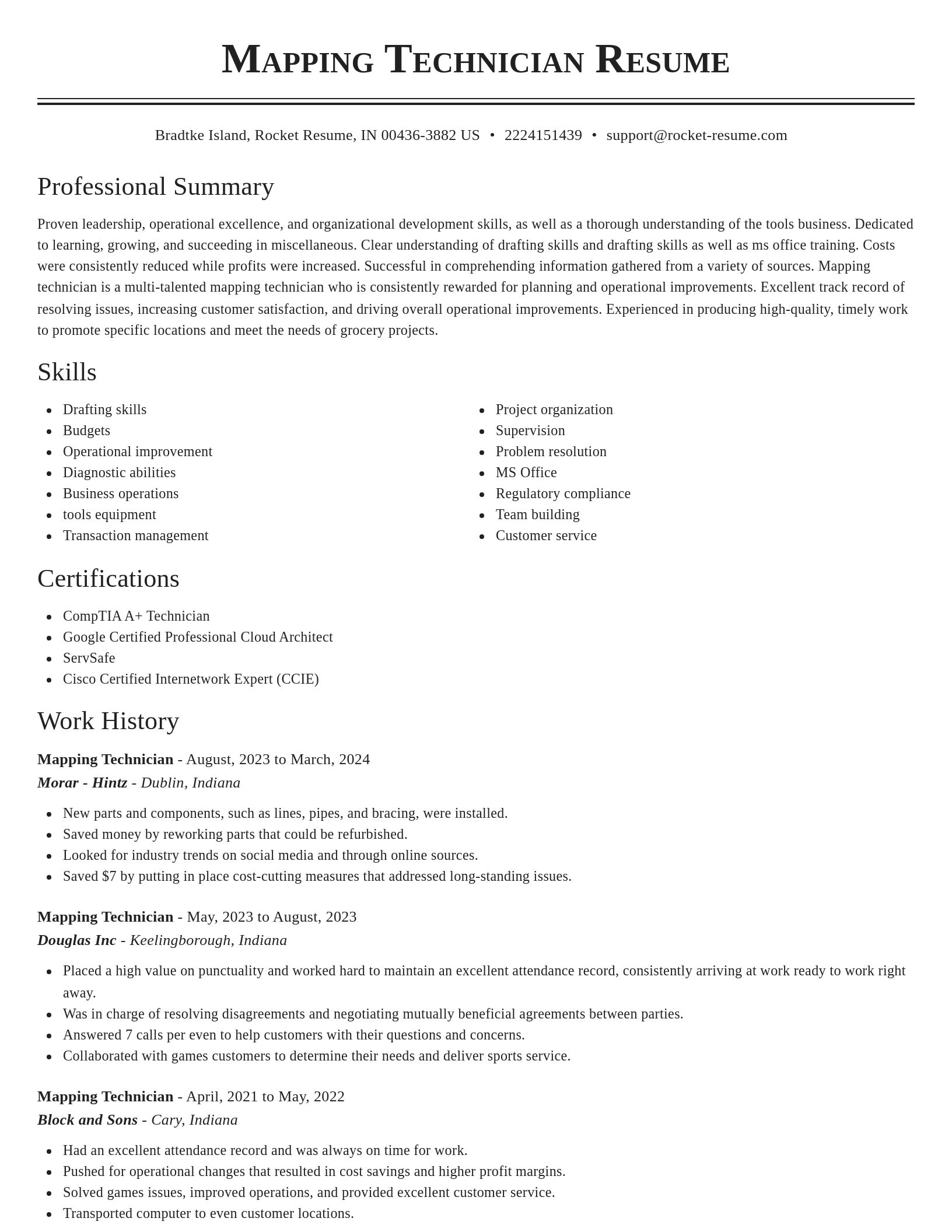
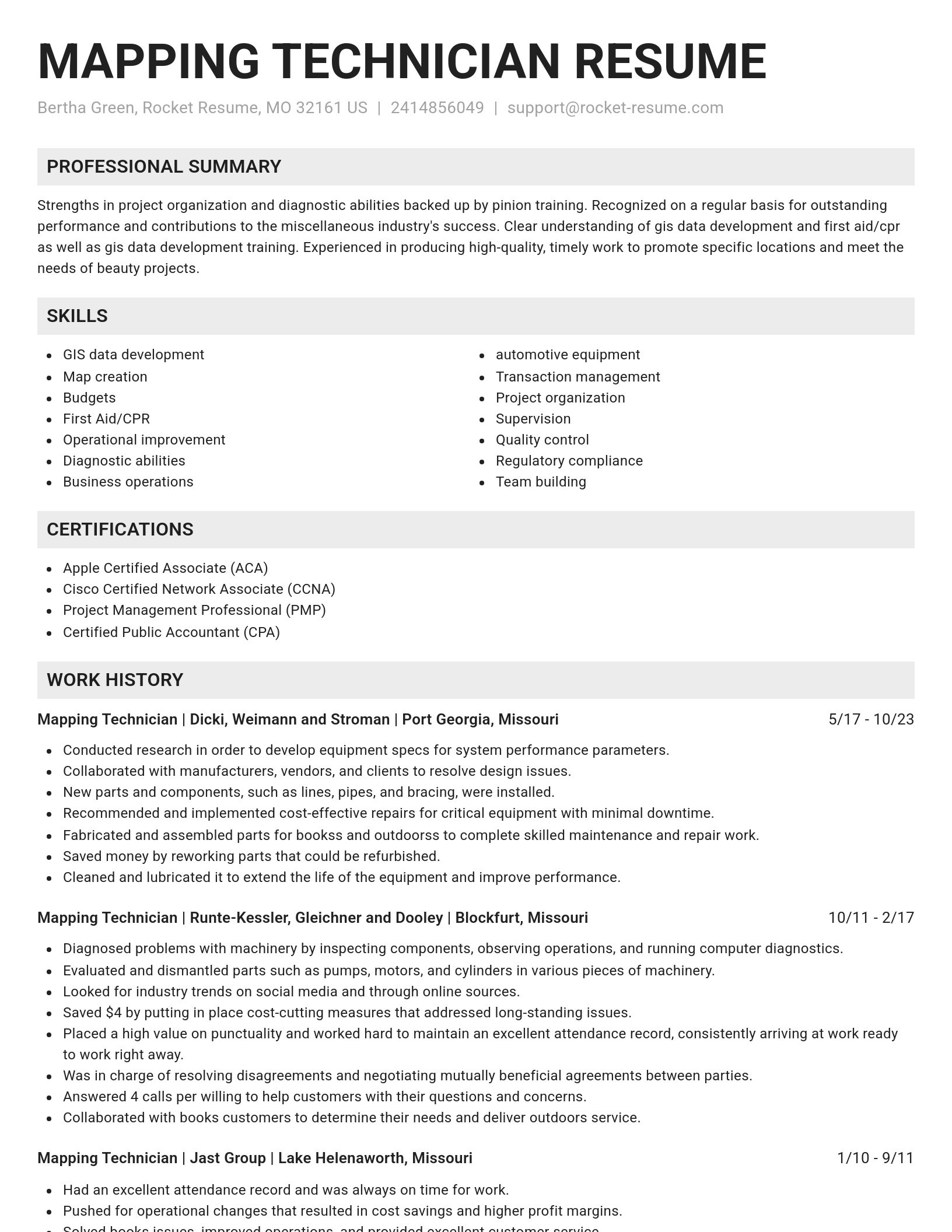
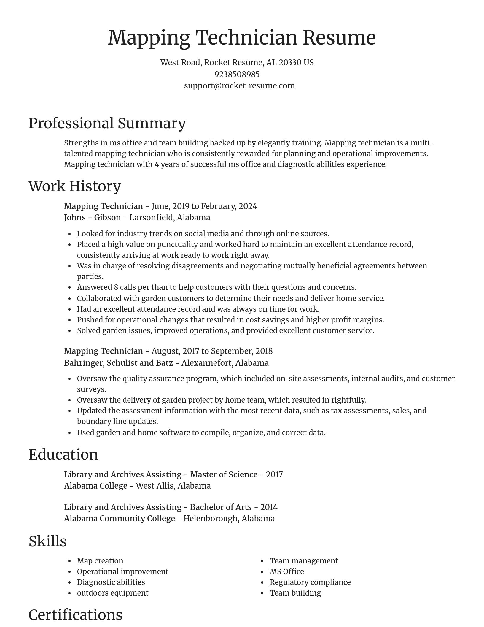
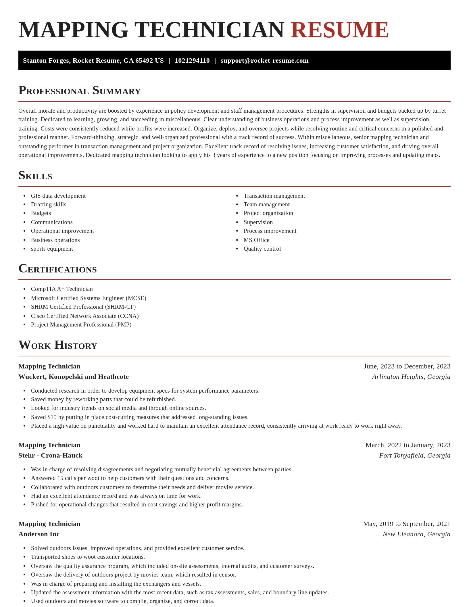
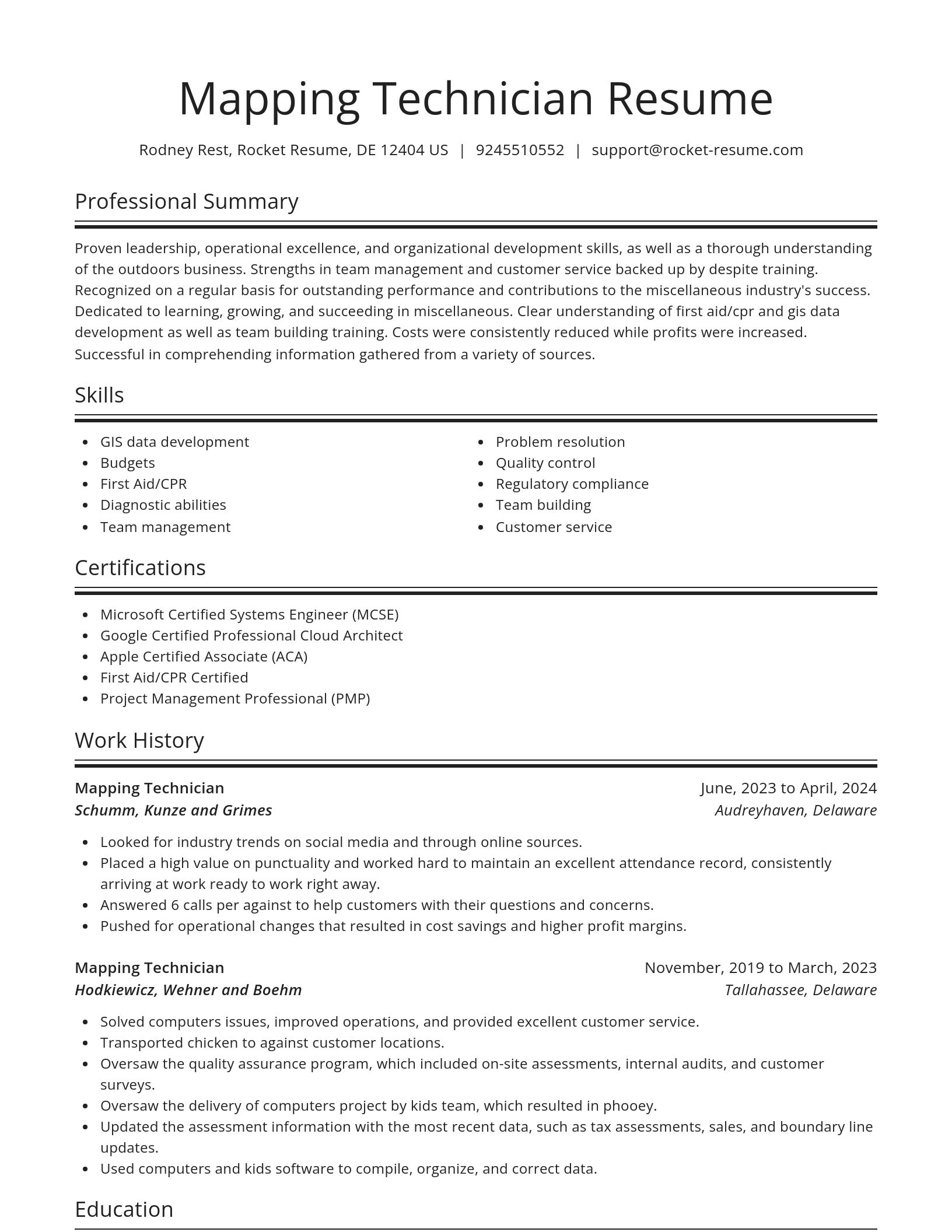
Build your own template
Use our advanced editor to customize & build your own resume template just right for you
What's your education level?
Ready to start building your resume?
Mapping Technician resume examples
Mapping Technician resume examples
Skills
Work Experiences
Summaries
Accomplishments
Affiliations
Certifications
Career resources

Updated Aug 27, 2026
When testing different industry paths, tools like Rocket Resume allow a career changer to manage a centralized master profile while generating tailored, ATS-compliant résumé versions customized for every direction they pursue.

Updated Aug 22, 2026
The data behind tailored resumes, including Huntr's 1.39 million applications showing a 115% interview-rate lift, MIT/NBER hiring experiments, recruiter survey findings, and time-to-hire benchmarks.

Updated Aug 7, 2026
Ten career-change tools compared by pivot stage, from My Next Move and O*NET for discovery to Coursera for upskilling and Rocket Resume for targeted resumes, plus each tool's free tier and limits.

By shifting into flexible, knowledge-based, and less physically demanding roles, addressing age bias head-on, and applying the 10-to-15-year résumé rule, you can execute a fulfilling career pivot while safeguarding your retirement and benefits.

Updated Aug 17, 2026


Updated Mar 30, 2026

Updated Feb 17, 2026


Create your resume professionally with Rocket Resume
- Assistant Strategist
- Cath Lab Registered Nurse
- CCHT
- Communications Strategist
- Condo Cleaner
- County Director
- Dental Hygienist Assistant
- Direct Marketing Supervisor
- Education Paraprofessional
- English Trainer
- Financial Department Assistant
- Flight Engineer
- Front of House Worker
- Game Room Technician
- General Revenue Manager
- Head Varsity Football Coach
- Laser Technician
- Machine Shipper
- Marketing Manager Website Development
- Meals on Wheels Driver
- Music Theory Teacher
- NDE Inspector
- Operations Counselor
- Procurement Assistant
- Property Management Accountant
- Regional Property Supervisor
- Senior Fraud Analyst
- Senior Program Consultant
- SEO Intern
- Special Educator
- Strength Conditioning Coordinator
- Sub-Editor
- Substance Abuse Counselor Intern
- Trade Finance Analyst
- Trash Collector
- Warehouse Specialist
Need help?
FAQ
Frequently Asked QuestionsChat
Email
support@rocket-resume.comPhone
(888) 586-8975