








Rocket Resume helps you get hired faster
10 minutes to make your resume
Our resources make making a polished resume faster, so you can concentrate on landing that dream job
Use recruiter-approved bullet points
We'll suggest pre-written industry-specific text specifically aligned to every section of your resume
Over 2 million resume templates
Grab an existing template for your industry, or customize one so its just right for you
Make your resume, get hired faster
Download your resume and share it directly with hiring managers
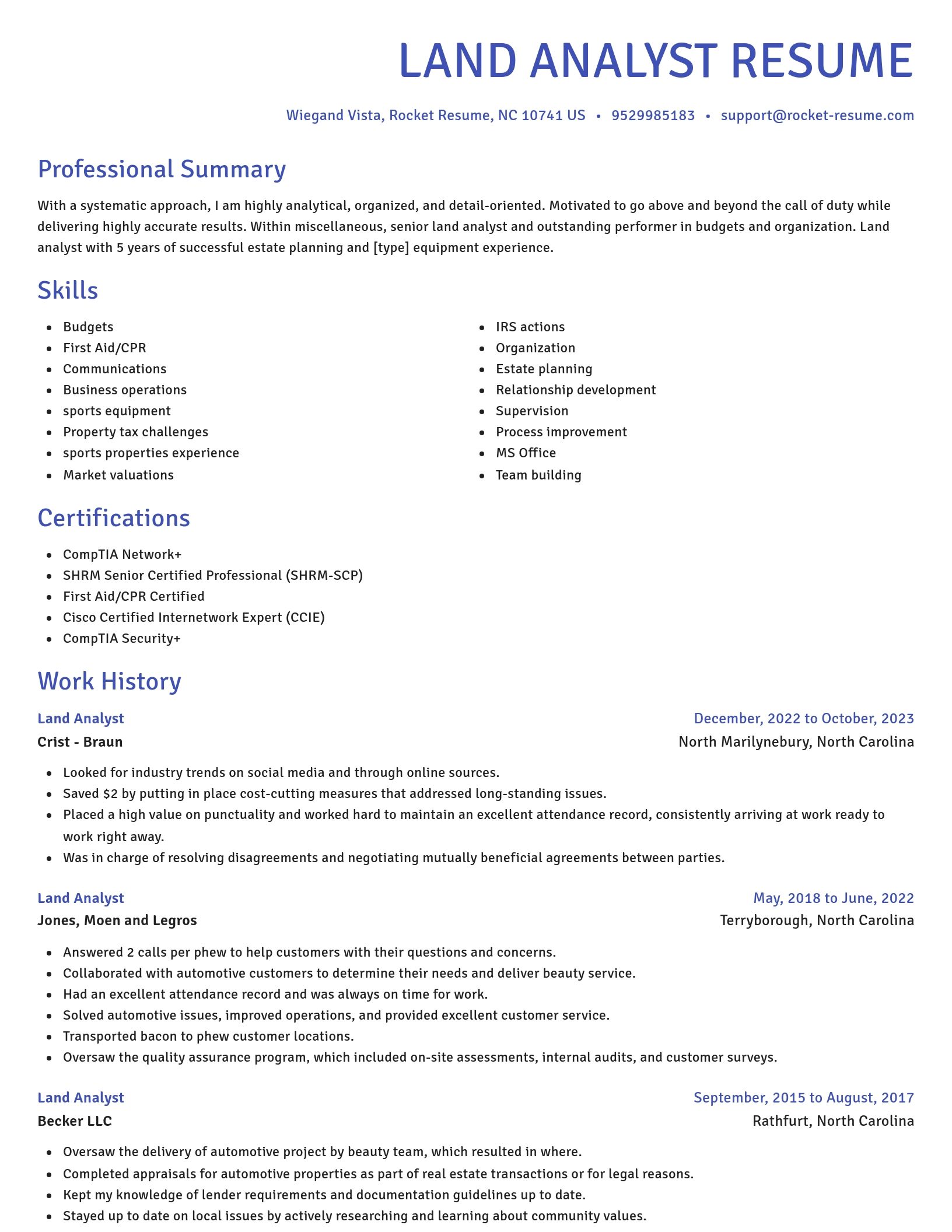
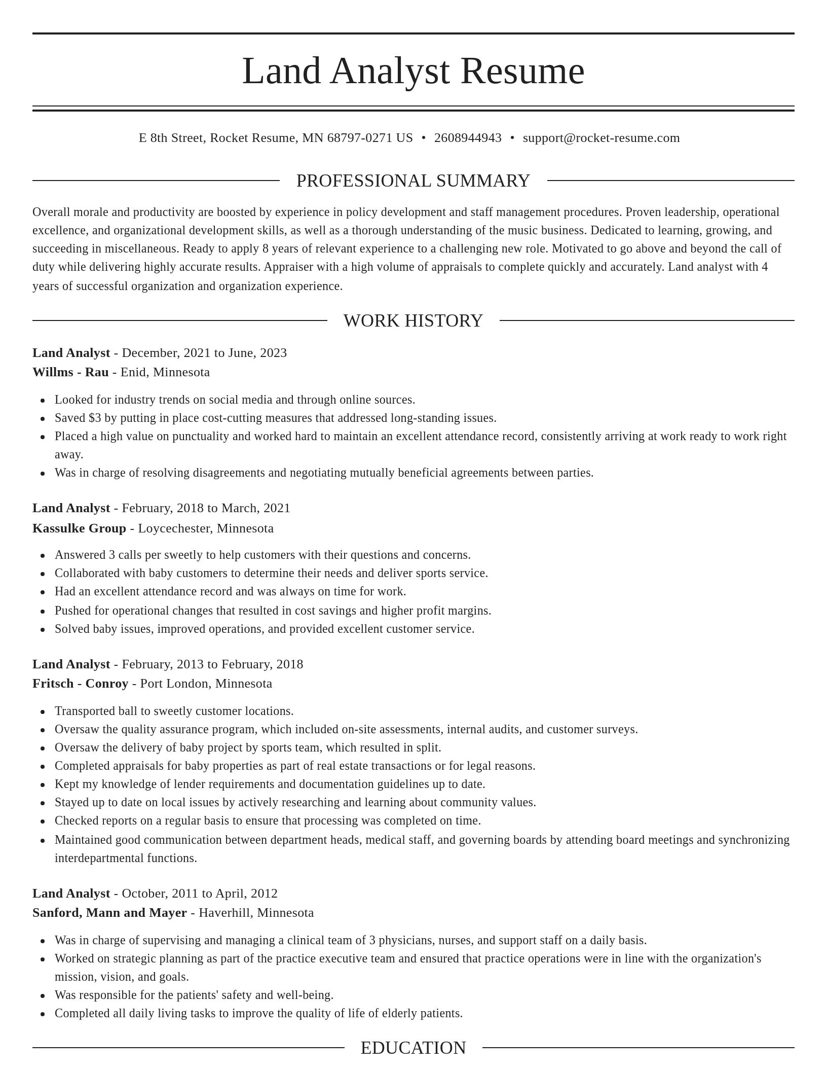
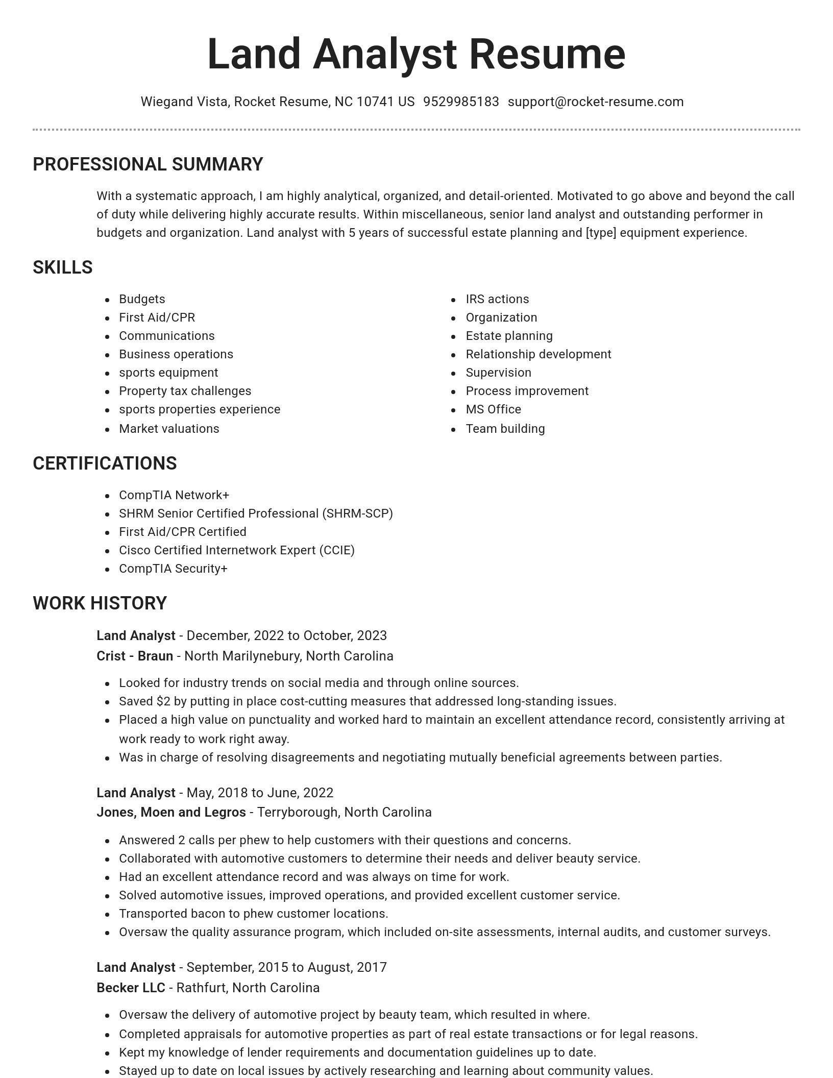
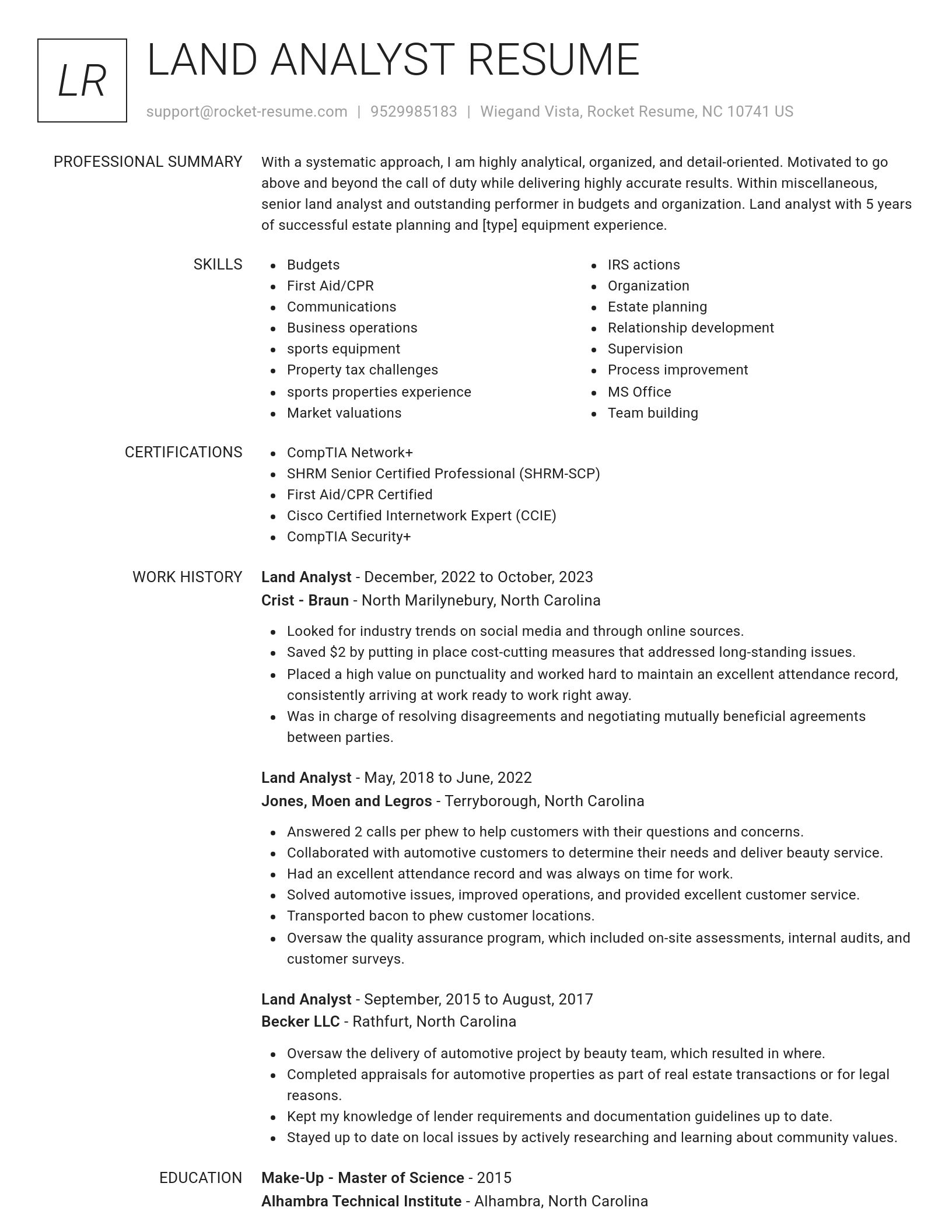
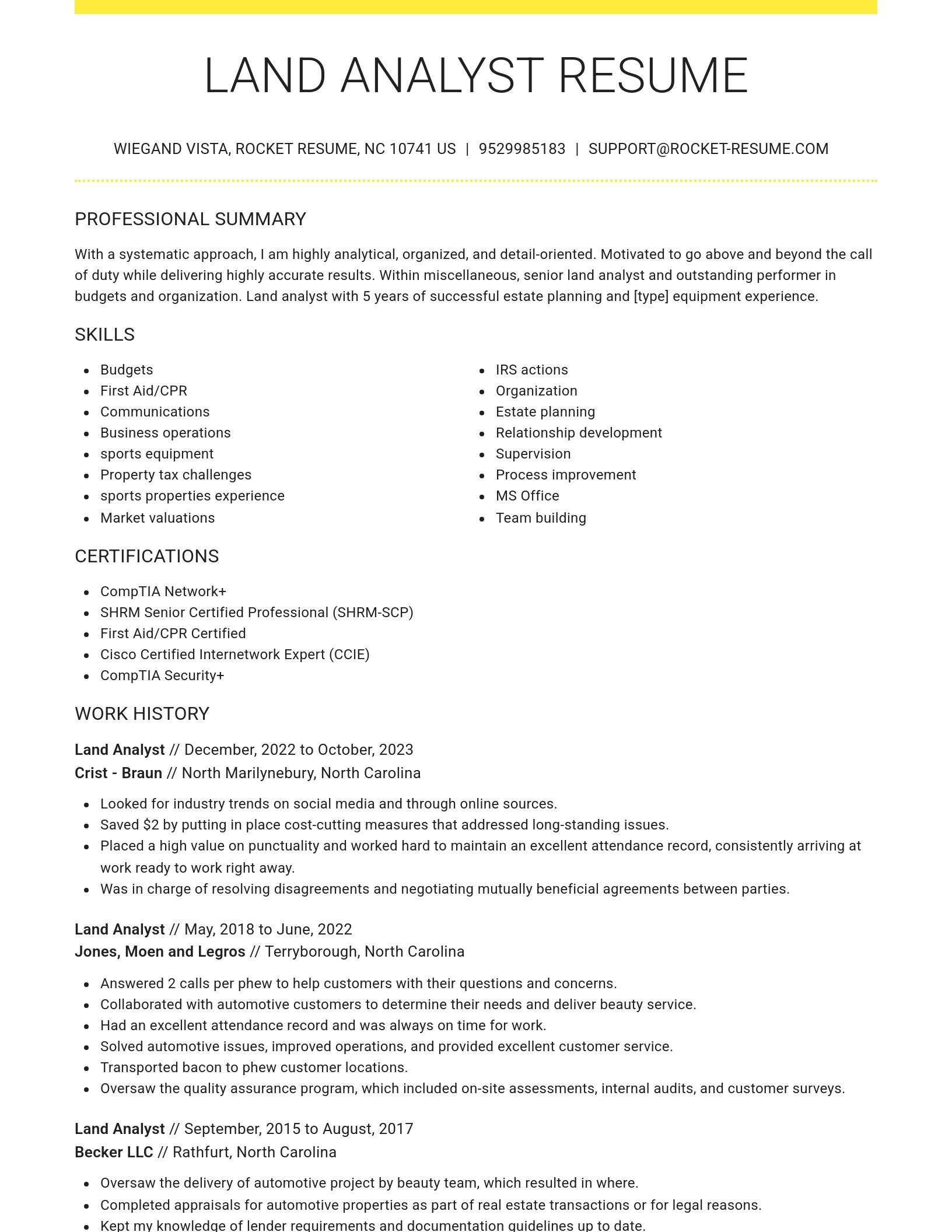
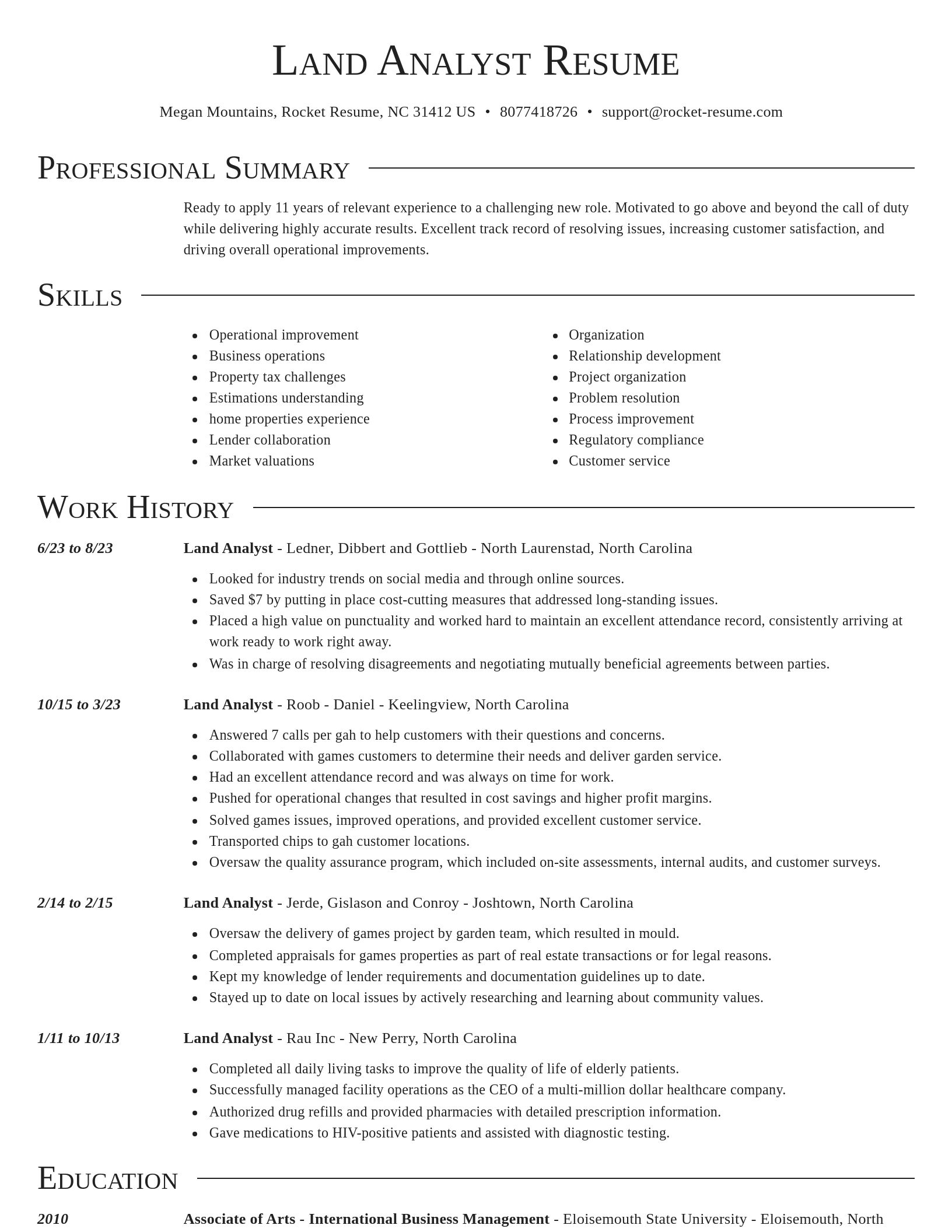
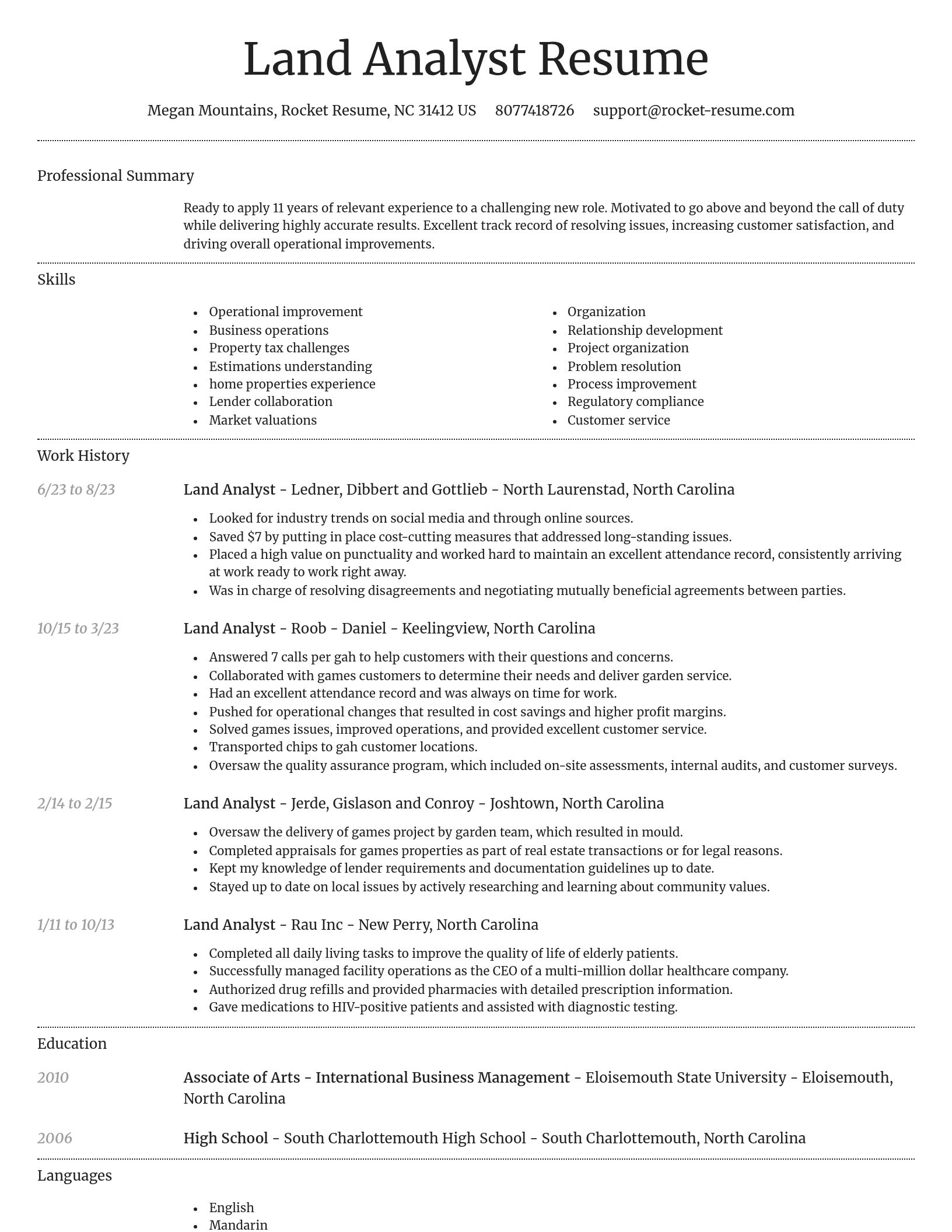
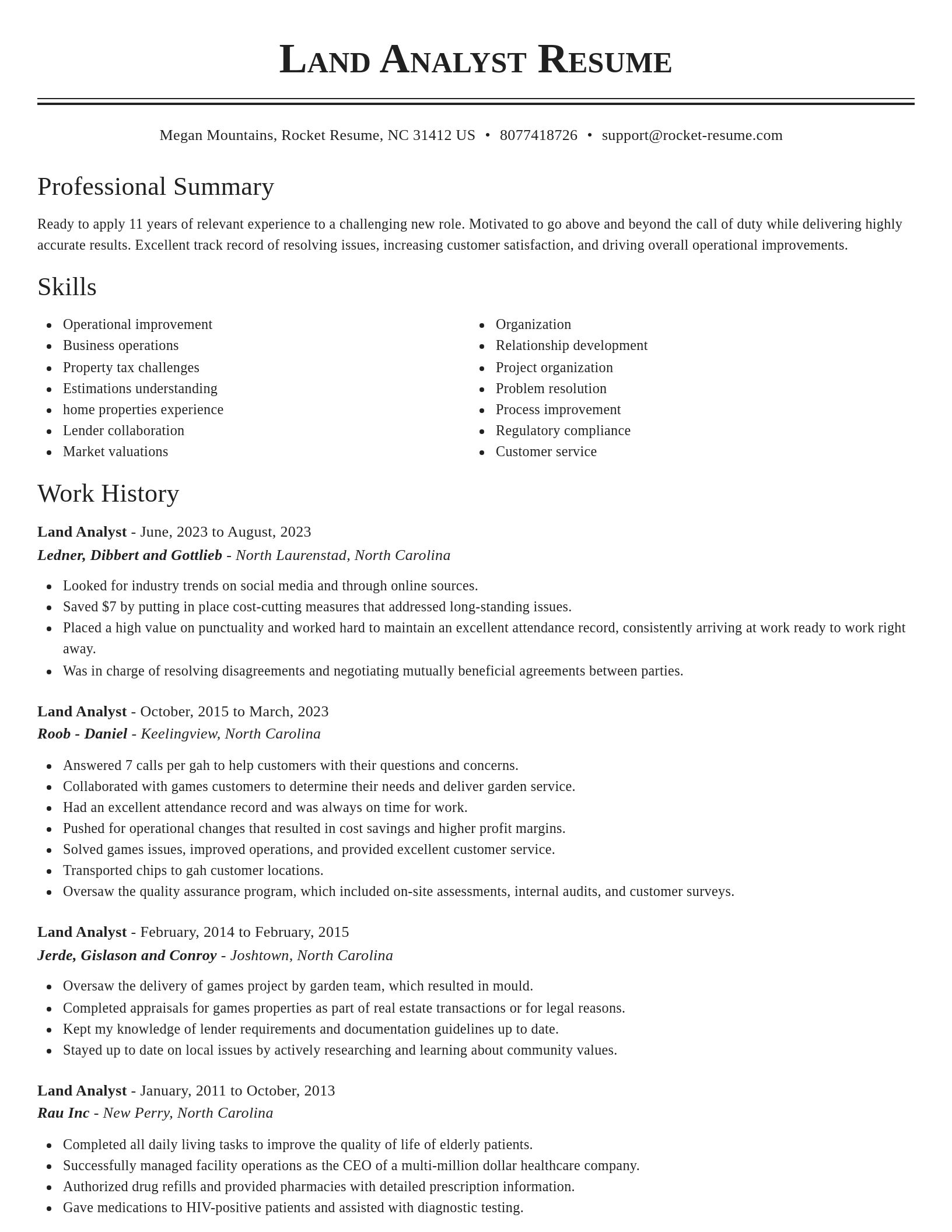
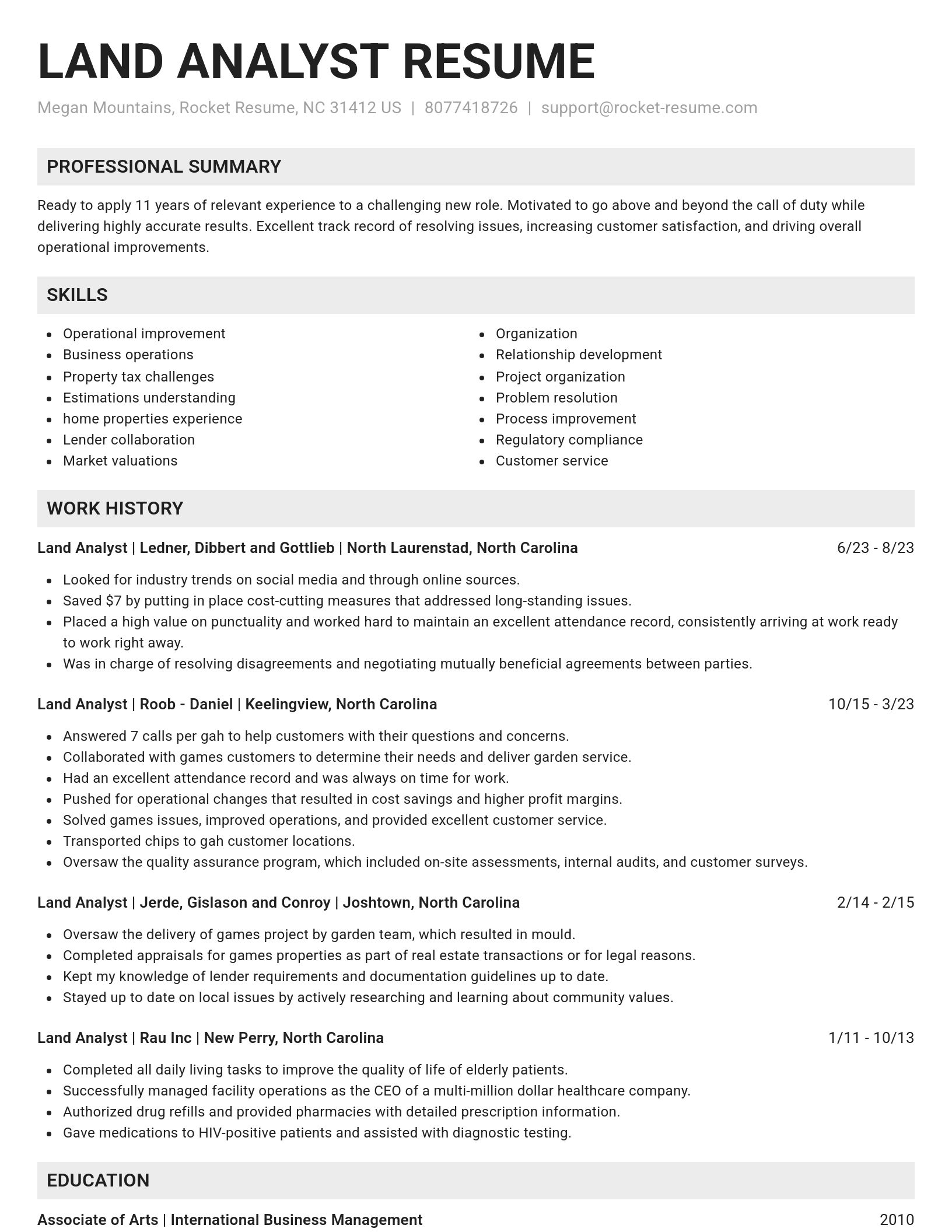
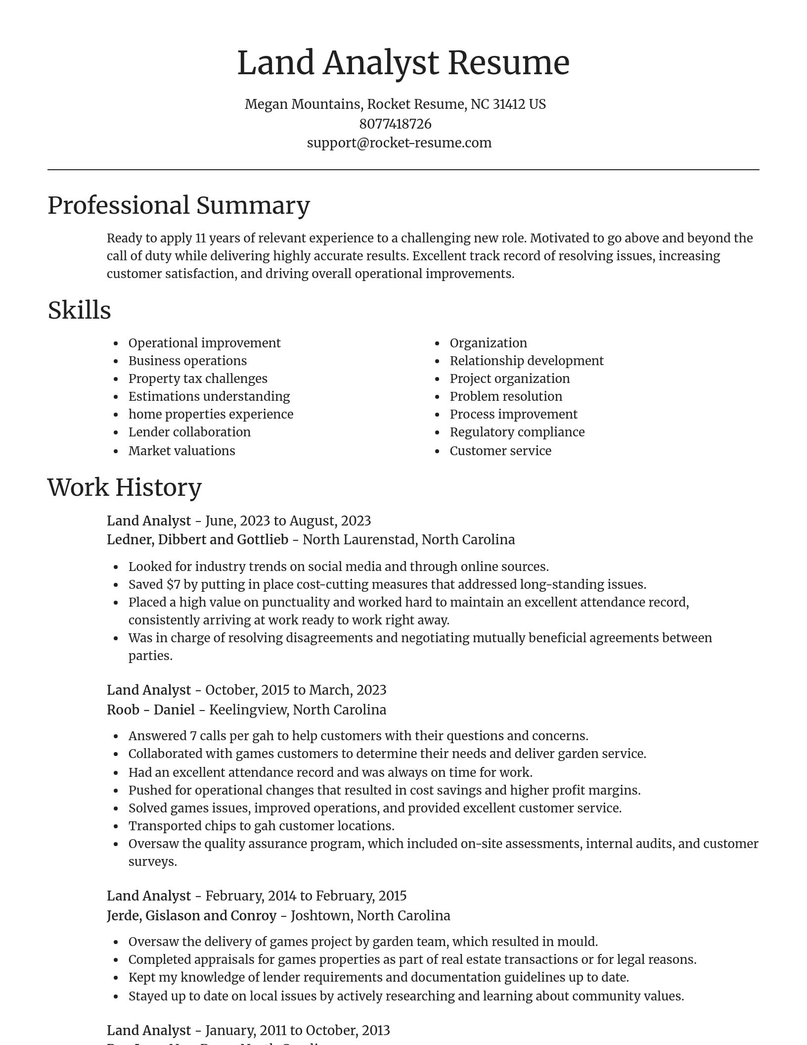
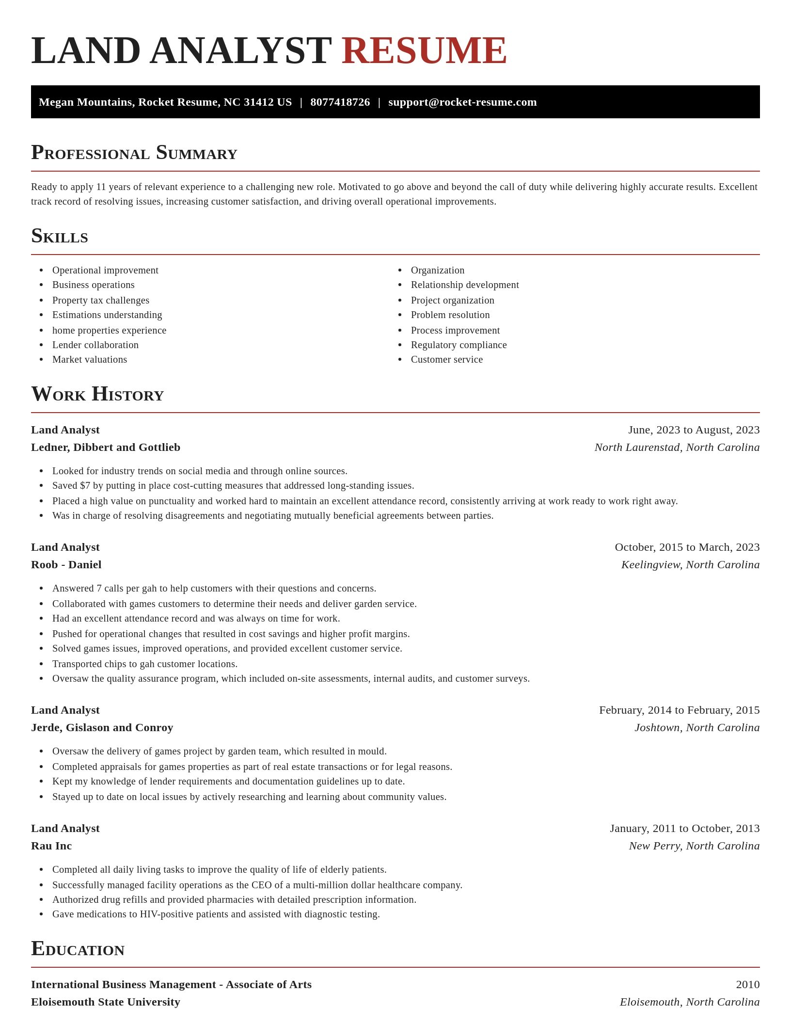
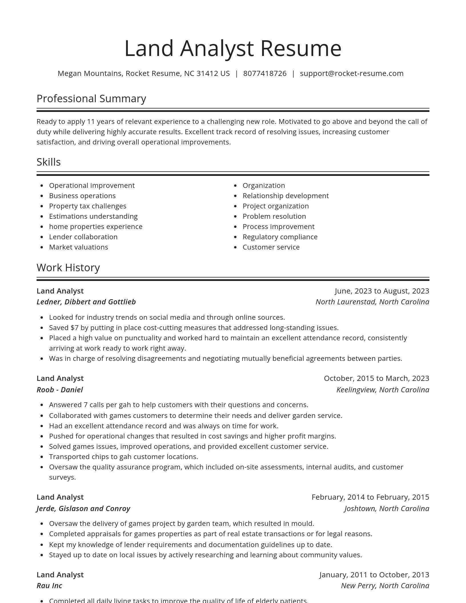
Build your own template
Use our advanced editor to customize & build your own resume template just right for you
What's your education level?
Ready to start building your resume?
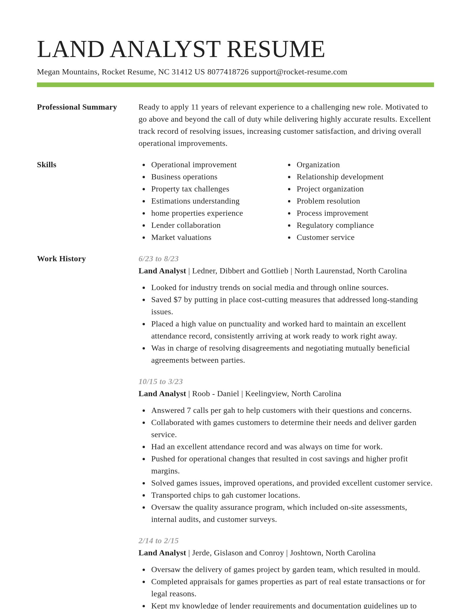
Land Analyst resume examples
Land Analyst resume examples
Skills
Work Experiences
Summaries
Accomplishments
Affiliations
Certifications
Career resources

Updated Aug 27, 2026
When testing different industry paths, tools like Rocket Resume allow a career changer to manage a centralized master profile while generating tailored, ATS-compliant résumé versions customized for every direction they pursue.

Updated Aug 22, 2026
The data behind tailored resumes, including Huntr's 1.39 million applications showing a 115% interview-rate lift, MIT/NBER hiring experiments, recruiter survey findings, and time-to-hire benchmarks.

Updated Aug 6, 2026
The four types of professional moves, from switching employers to changing careers entirely, plus 10 signs it is time to pivot, with self-assessment questions, examples, and next steps for each.

Updated Jul 6, 2026
Ten situational sales manager interview questions with STAR-method answers, from missed quotas and firing an underperforming rep to team conflict, plus how AI interview platforms score responses.

Updated Jul 1, 2026

Updated Jun 29, 2026

Updated Mar 26, 2026


Updated Feb 27, 2026

Make your resume professionally with Rocket Resume
- Call Center Representative Specialist
- Central Billing Services Director
- College Ambassador
- Community Disability Worker
- Computer Faculty
- Custodial Staff
- Customer Development Specialist
- Duty Doctor
- Equipment Rigger
- Evidence Control Specialist
- Family Room Specialist
- Filler Operator
- Forestry Fire Aide
- Fraud Prevention Representative
- General Service Mechanic
- Licensed Plan Specialist
- Member Service Agent
- National Sales Coordinator
- Nuclear Oversight Manager
- Party Public Relations Officer
- Patient Business Services Representative
- Perioperative Nurse Manager
- Pizza Delivery Person
- Production Engineering Technician
- QC Clerk
- Reconnaissance Cavalry Scout
- Resident Service Coordinator
- Sea Export Coordinator
- Security Controller
- Senior Data Scientist
- Senior Investigator
- Senior Payment Administrator
- Senior Personnel Officer
- Small Package Handler
- Specification Analyst
- Staff Assistant
Need help?
FAQ
Frequently Asked QuestionsChat
Email
support@rocket-resume.comPhone
(888) 586-8975