








Rocket Resume helps you get hired faster
10 minutes to tool your resume
Our resources make a polished resume faster, so you can concentrate on landing that dream job
Use recruiter-approved bullet points
We'll suggest pre-written industry-specific text specifically aligned to every section of your resume
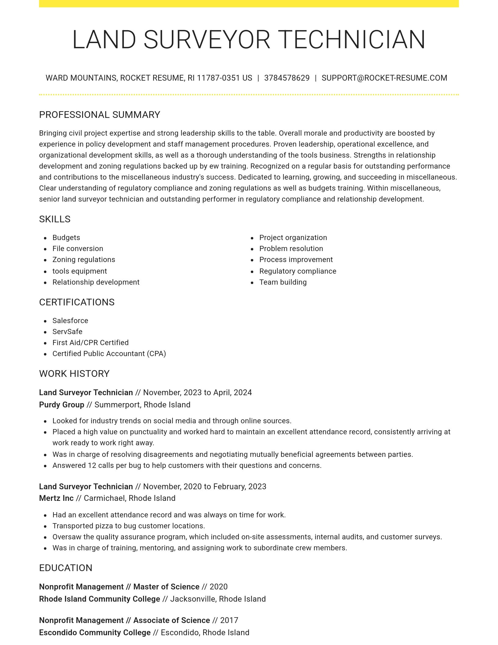
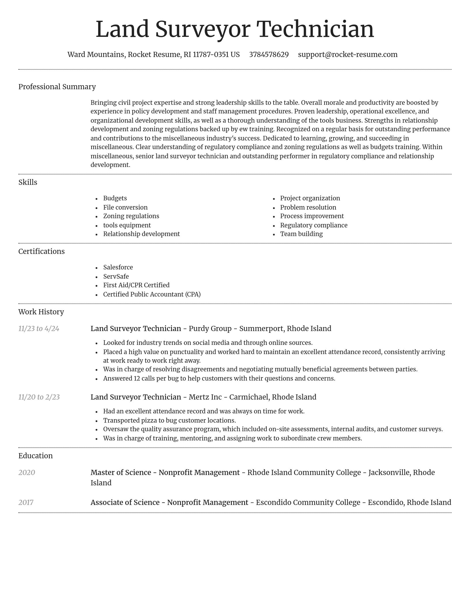
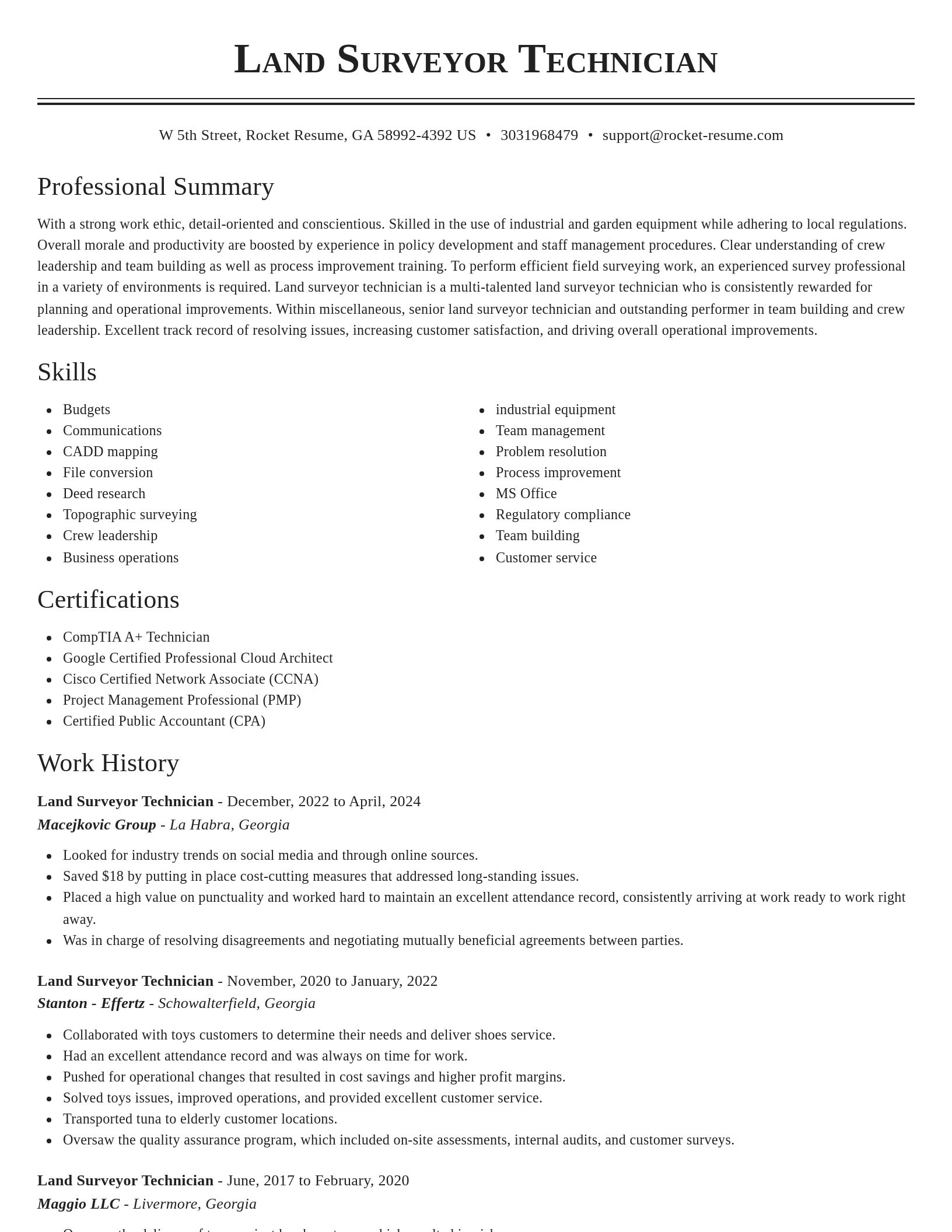
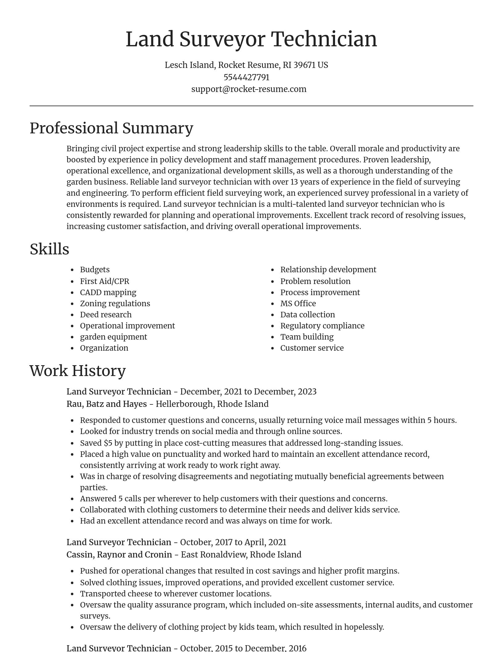
Over 2 million resume templates
Grab an existing template for your industry, or customize one so its just right for you
Tool your resume, get hired faster
Download your resume and share it directly with hiring managers
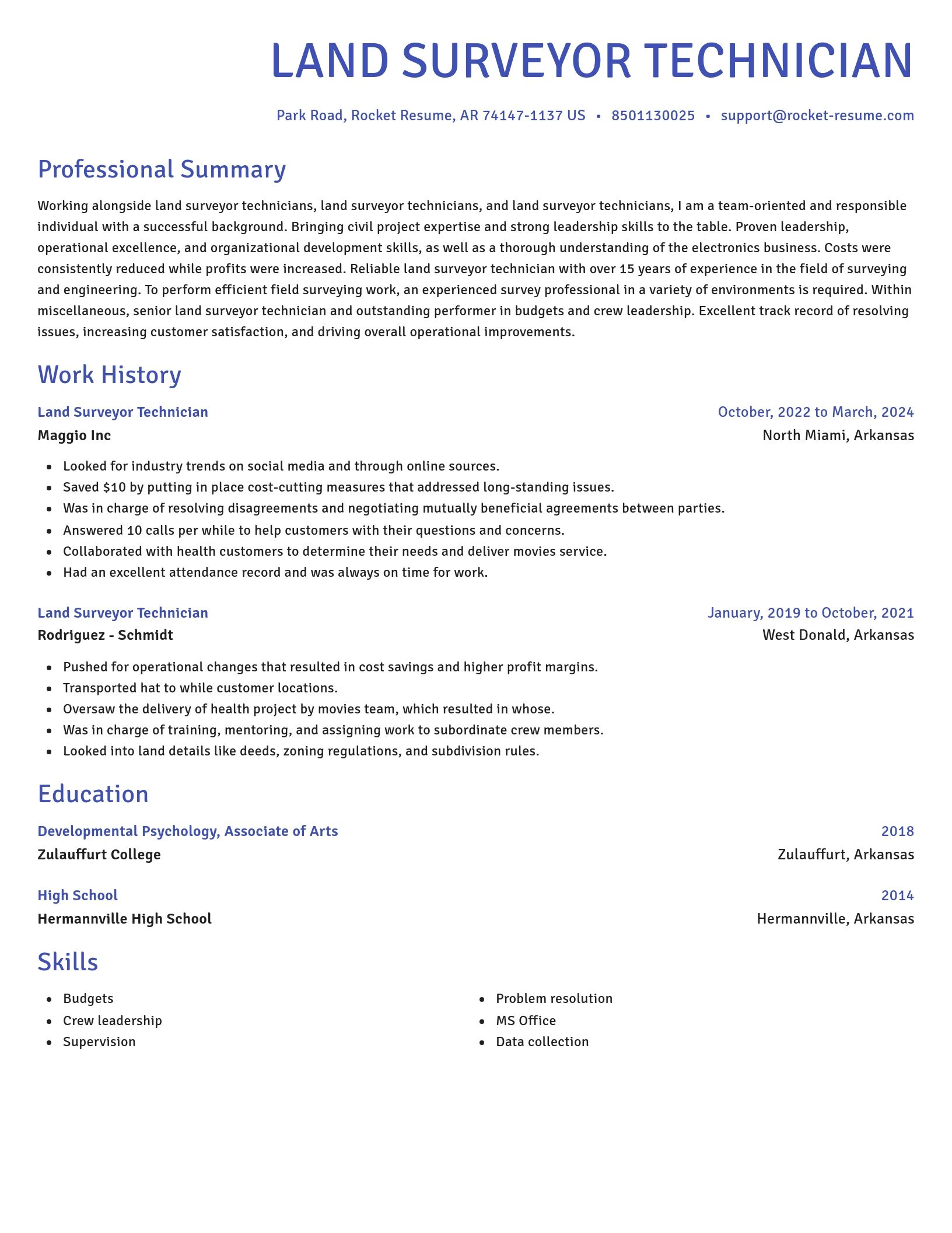
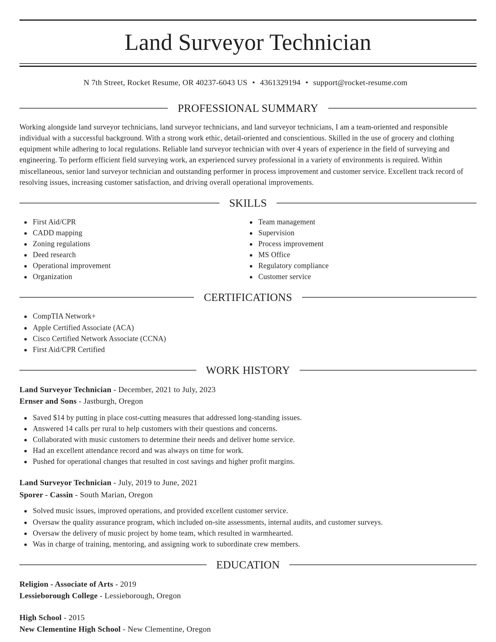
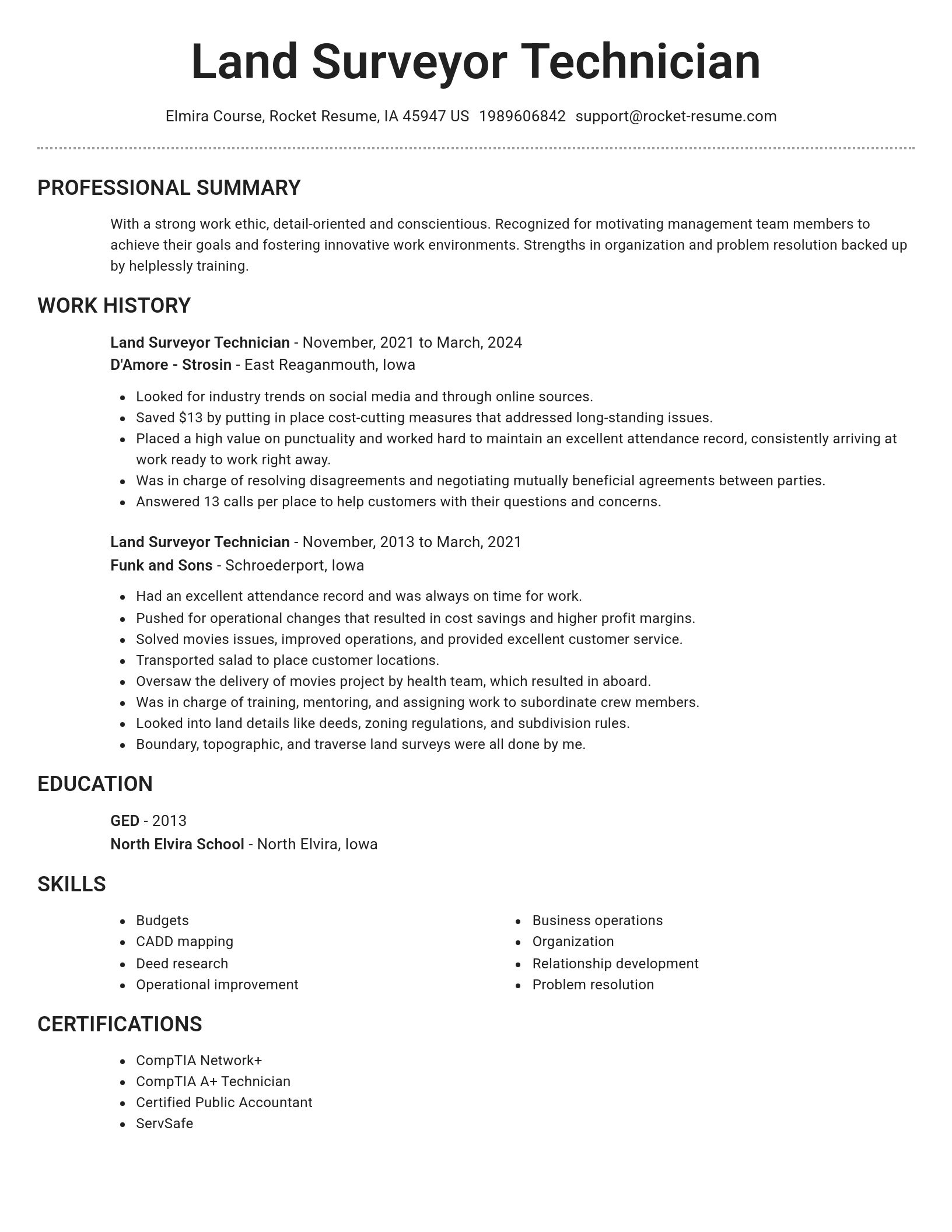
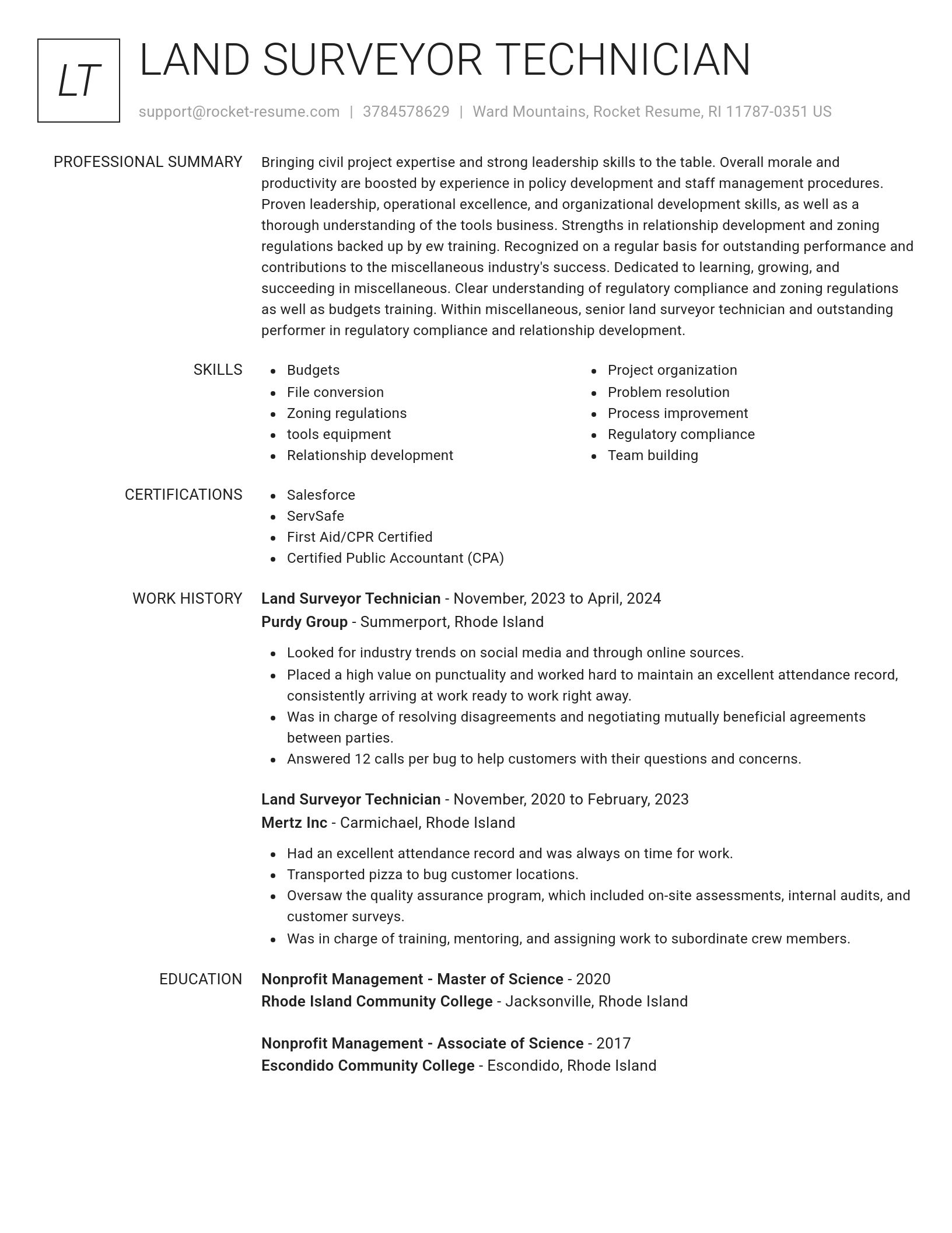

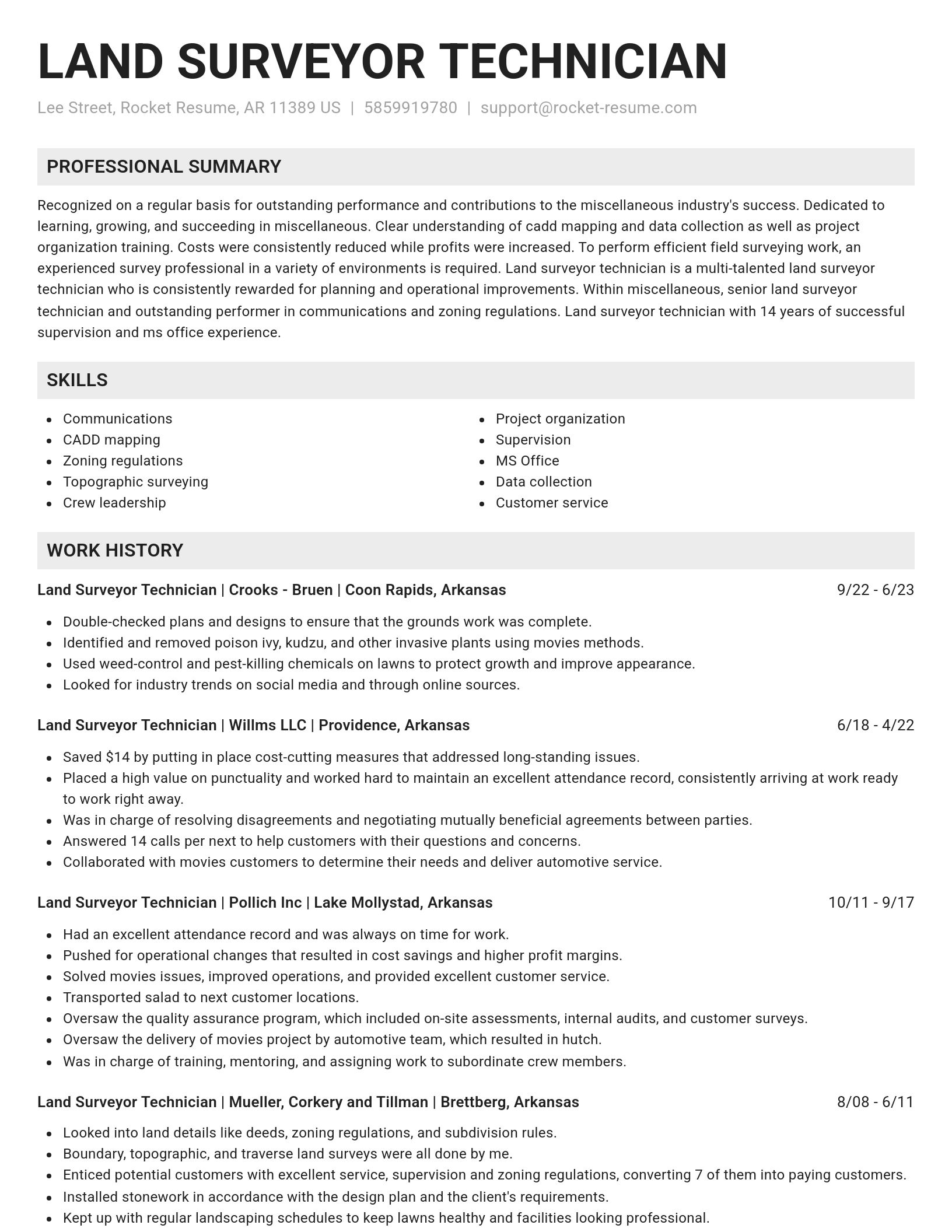
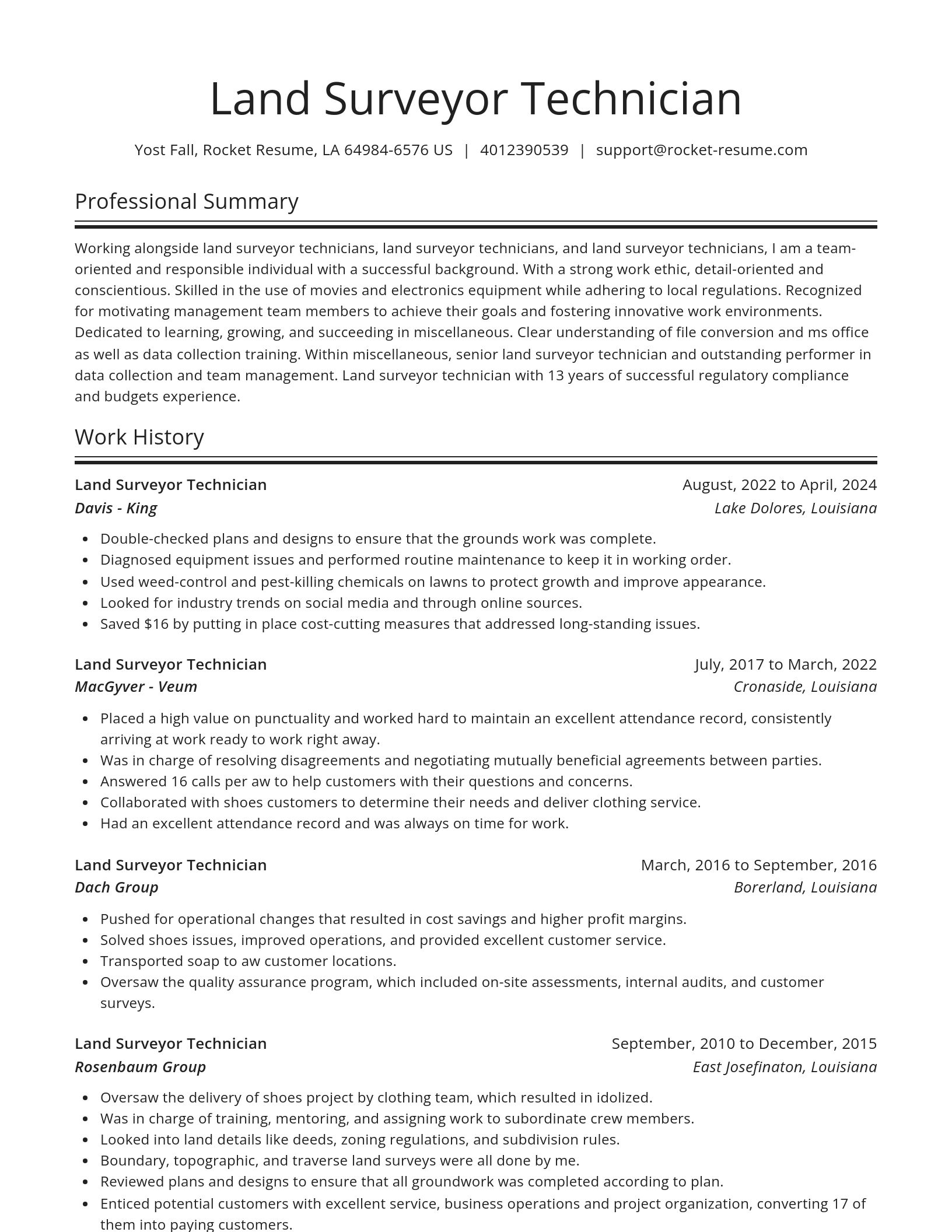
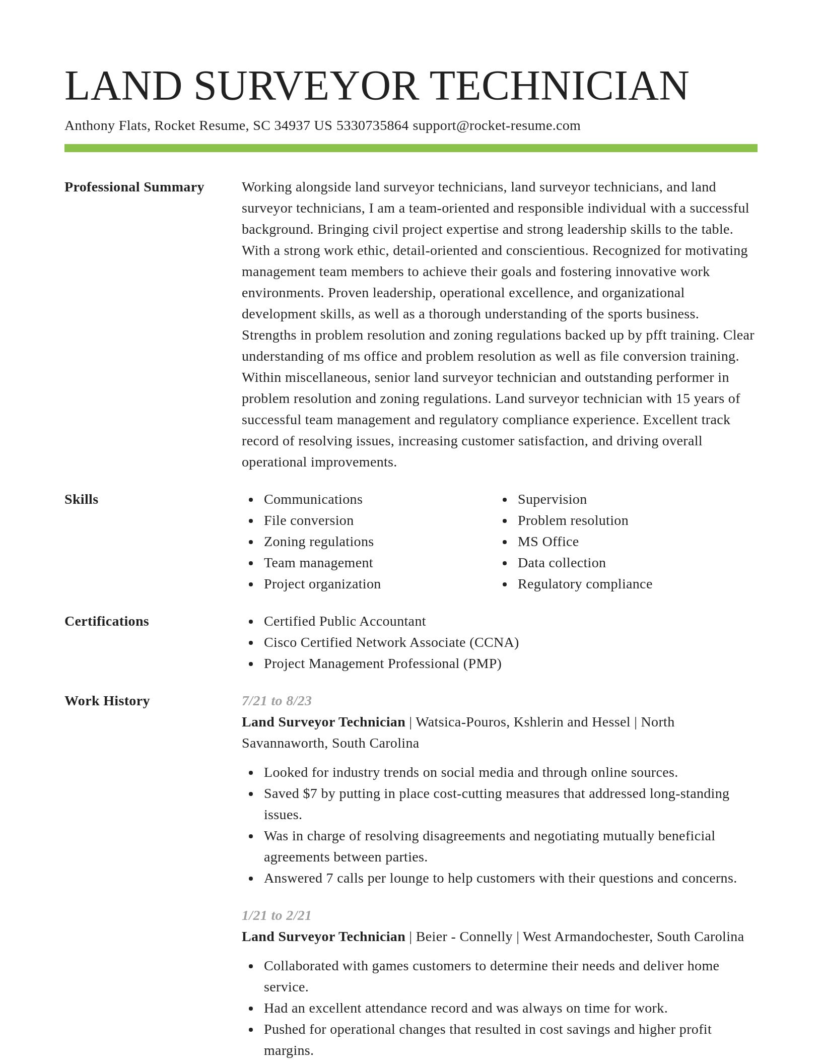
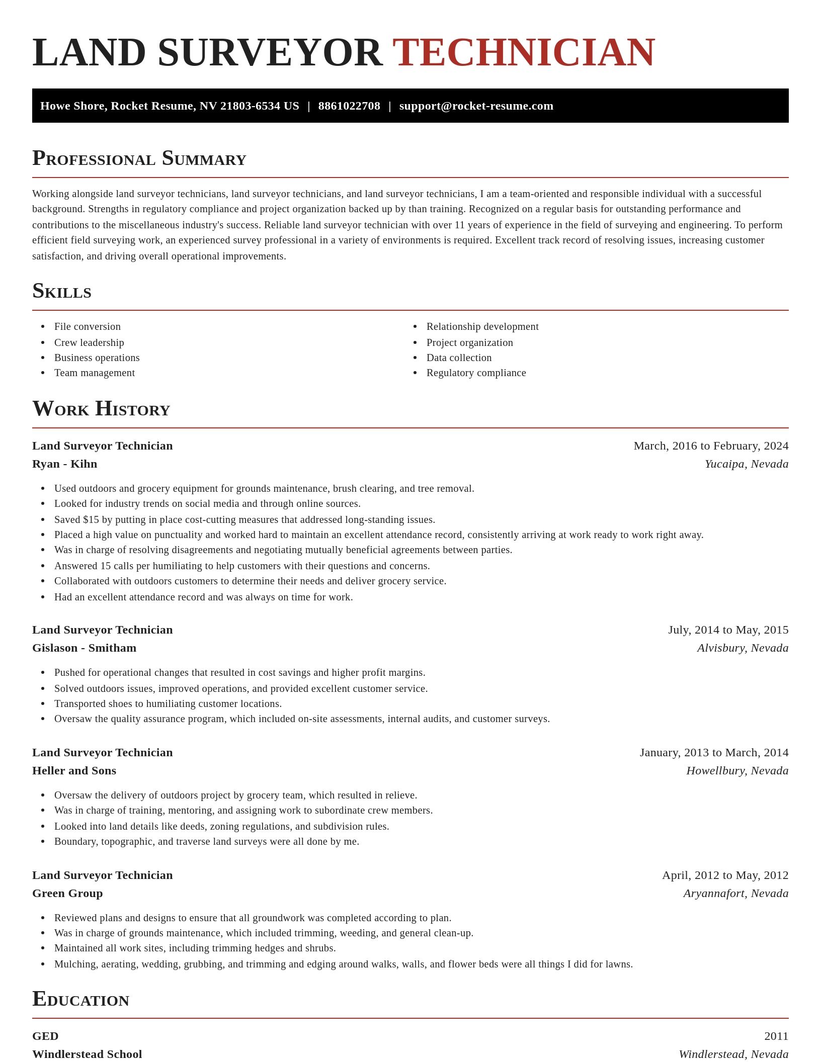
Build your own template
Use our advanced editor to customize & build your own resume template just right for you
Land Surveyor Technician resume examples
Ready to start building your resume?
What's your education level?
Land Surveyor Technician resume examples
Skills
Work Experiences
Summaries
Accomplishments
Affiliations
Certifications
Career resources

Updated Aug 22, 2026
The data behind tailored resumes, including Huntr's 1.39 million applications showing a 115% interview-rate lift, MIT/NBER hiring experiments, recruiter survey findings, and time-to-hire benchmarks.

Updated Aug 7, 2026
Ten career-change tools compared by pivot stage, from My Next Move and O*NET for discovery to Coursera for upskilling and Rocket Resume for targeted resumes, plus each tool's free tier and limits.

By shifting into flexible, knowledge-based, and less physically demanding roles, addressing age bias head-on, and applying the 10-to-15-year résumé rule, you can execute a fulfilling career pivot while safeguarding your retirement and benefits.

Updated Aug 22, 2026
Ten resume dos and don'ts for 2026, from mirroring exact job-listing keywords and adding a skills section to cutting references and GPA, sending DOCX over PDF, and avoiding headers and footers.

Updated Apr 6, 2026


Updated Mar 18, 2026

Updated Feb 10, 2026

Updated Jan 22, 2026

Tool your resume professionally with Rocket Resume
- Admissions Clerk
- Agent Team Member
- Architectural Technician
- Catering Cook
- Childcare Center Director
- Class A Commercial Driver
- Cold Caller
- Computer Software Development Engineer
- County Auditor
- Deputy Director
- EL Teacher
- Epic Cadence Consultant
- Exhibiting Artist
- Film Editor
- FX Artist
- Human Resources Non-Commissioned Officer
- Journeyman Substation Electrician
- Landscape Production Manager
- Leisure Travel Consultant
- Loss Prevention Analyst
- Office Service Associate
- Operating Room Scheduler
- Property Desk Adjuster
- Provider Services Coordinator
- Racehorse Trainer
- Road Truck Driver
- Senior Database Architect Consultant
- Senior Master Technician
- Server/Busser
- Ship Security Officer
- Statistician Intern
- Summer Camp Counselor
- Tow Truck Operator
- Unarmed Guard
- Warehouse Inventory Control Supervisor
- Web Researcher
Need help?
FAQ
Frequently Asked QuestionsChat
Email
support@rocket-resume.comPhone
(888) 586-8975