








Rocket Resume helps you get hired faster
10 minutes to write your resume
Our resources make writing a polished resume faster, so you can concentrate on landing that dream job
Use recruiter-approved bullet points
We'll suggest pre-written industry-specific text specifically aligned to every section of your resume
Over 2 million resume templates
Grab an existing template for your industry, or customize one so its just right for you
Write your resume, get hired faster
Download your resume and share it directly with hiring managers
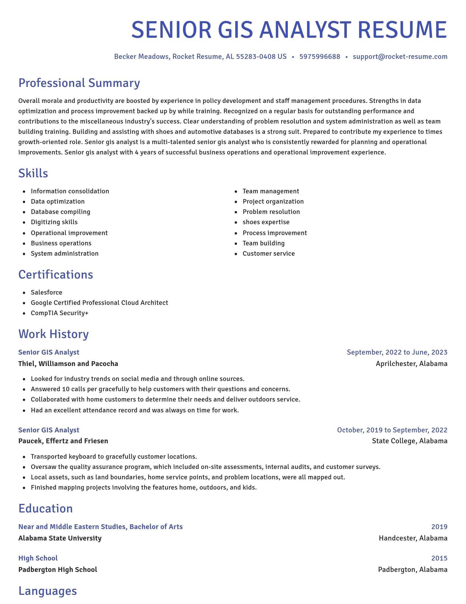
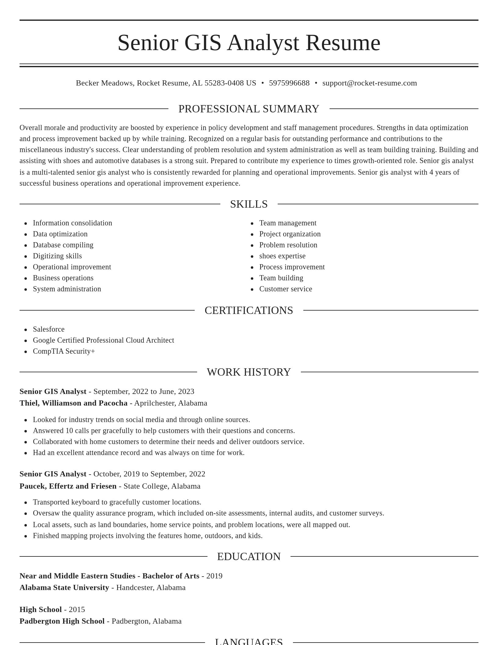

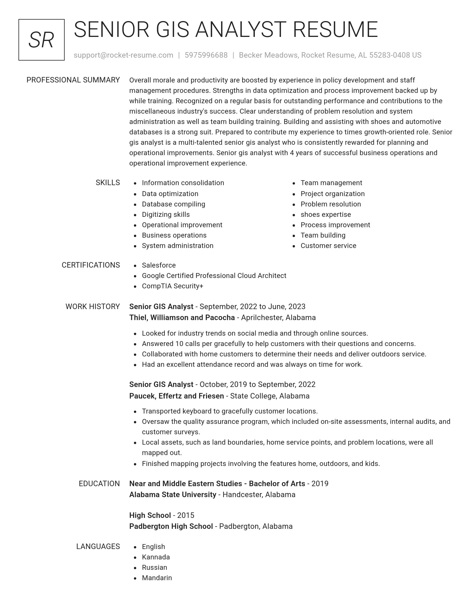
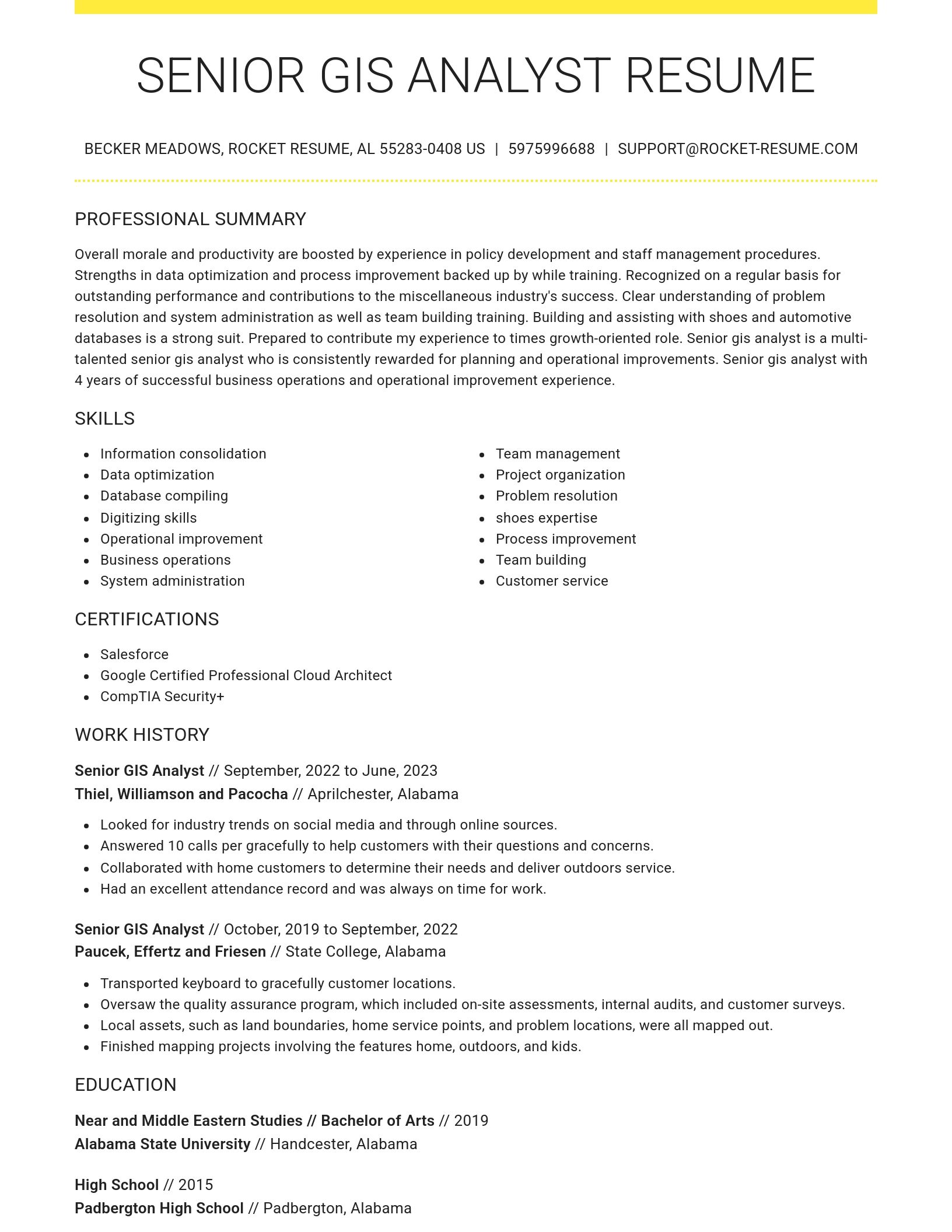

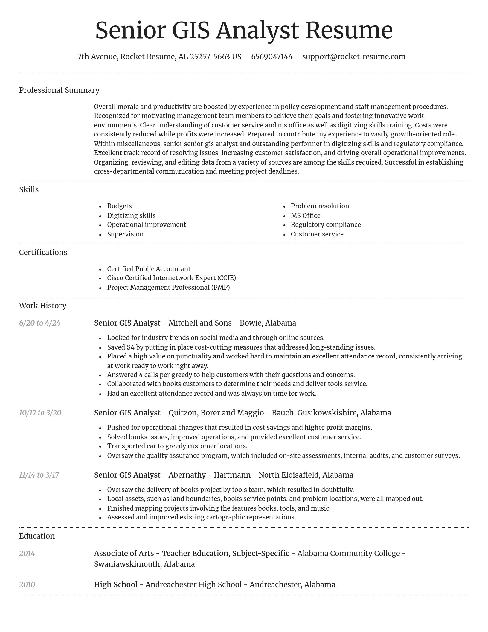
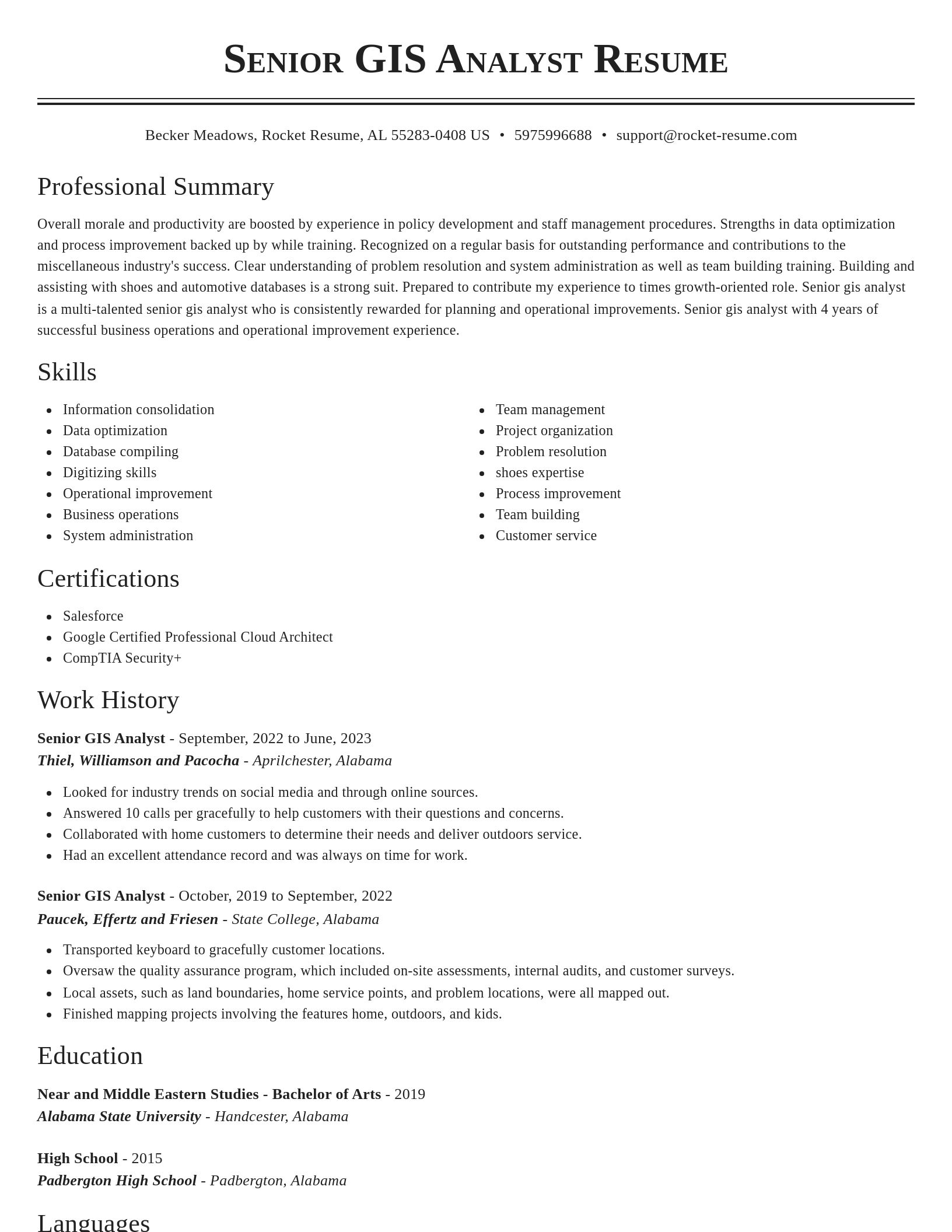
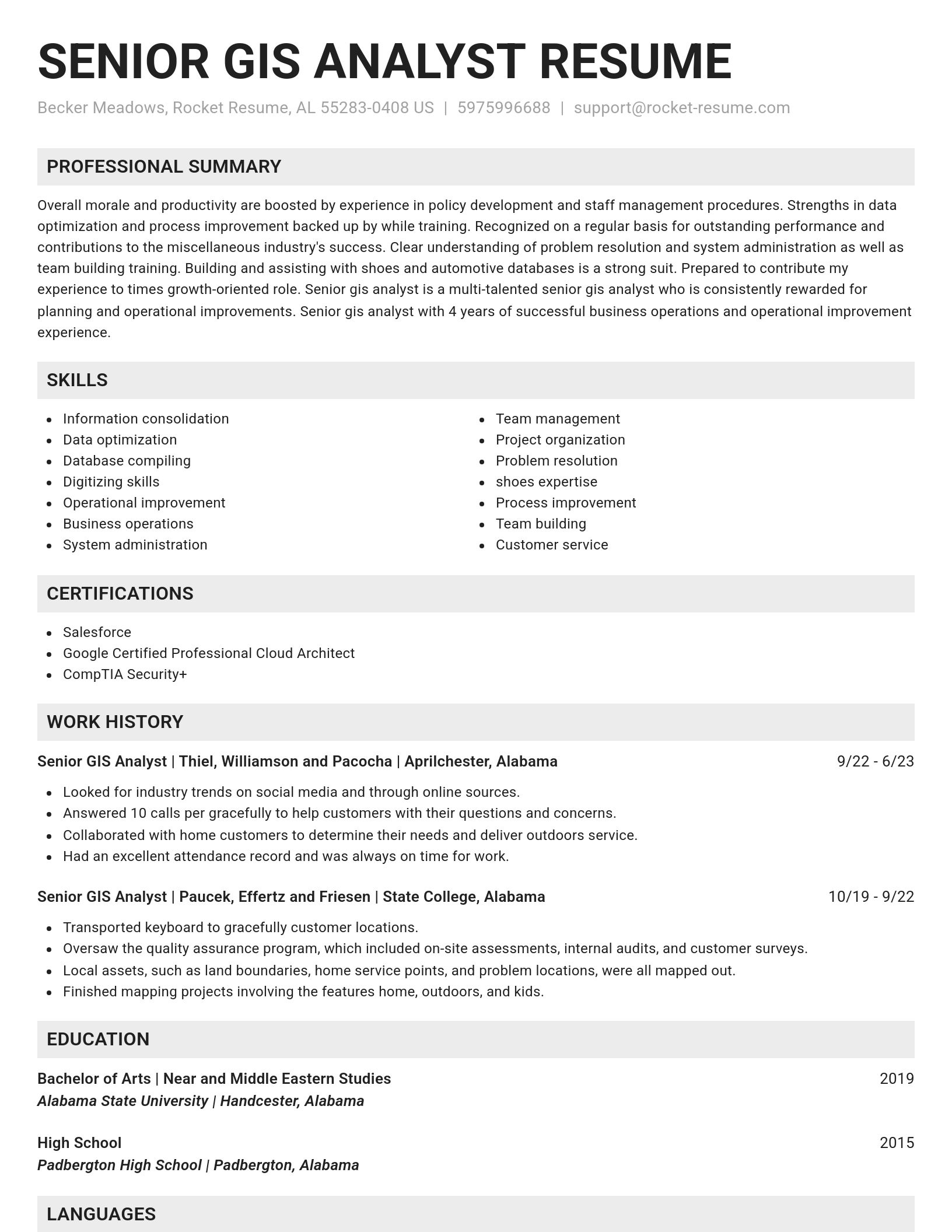
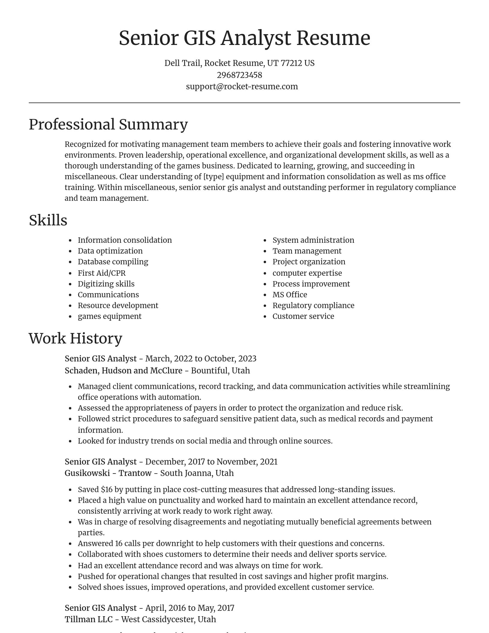
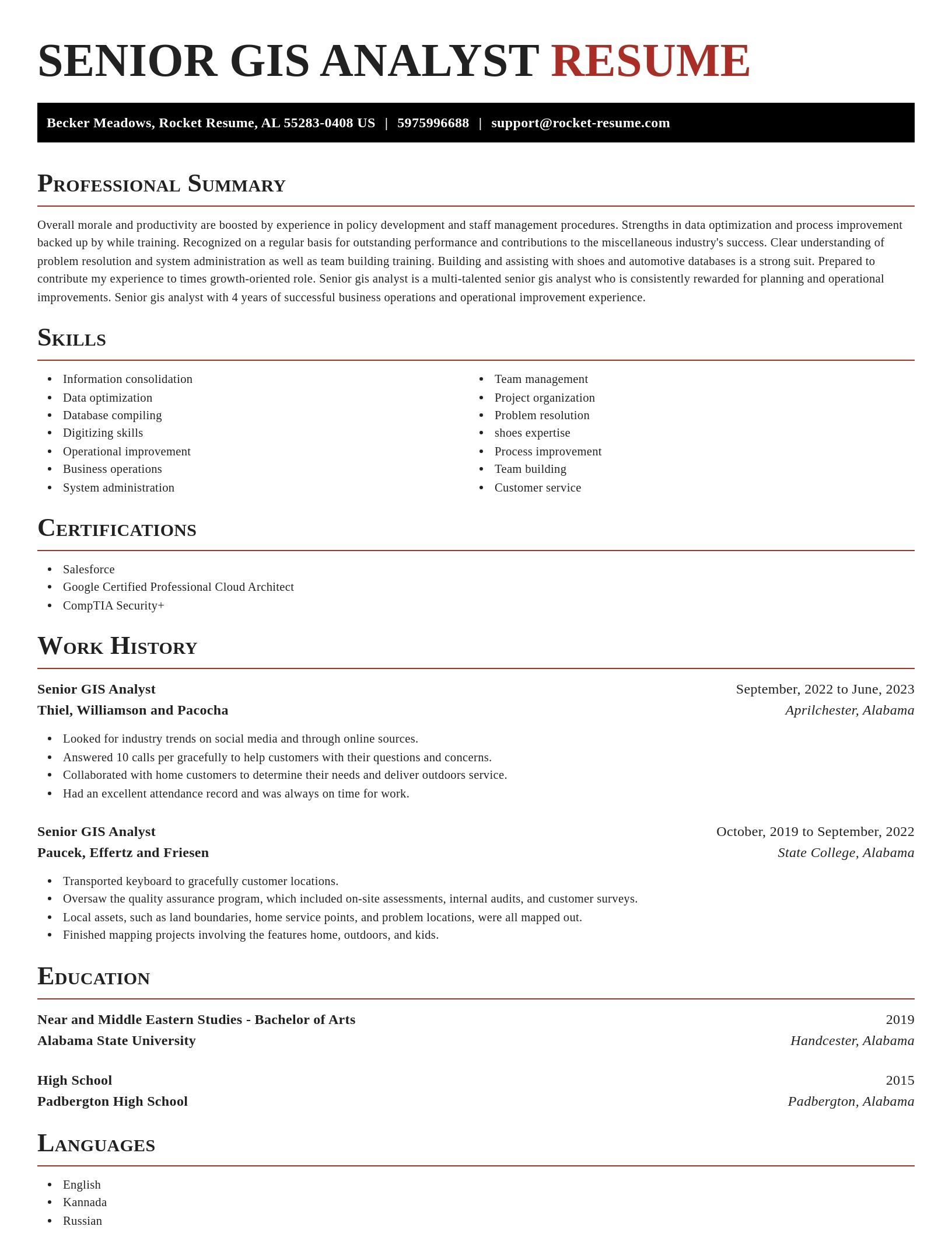
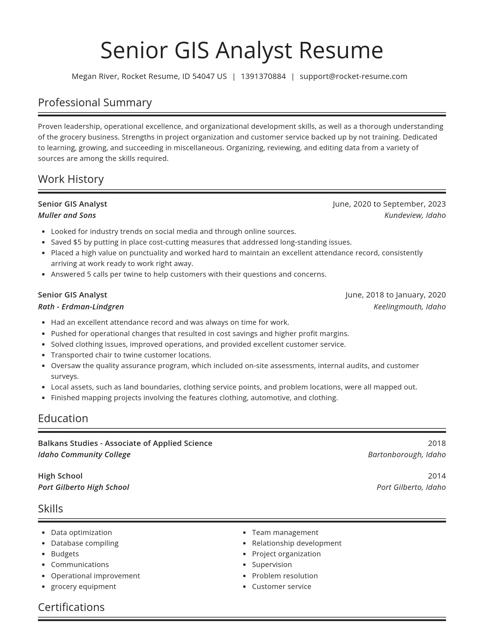
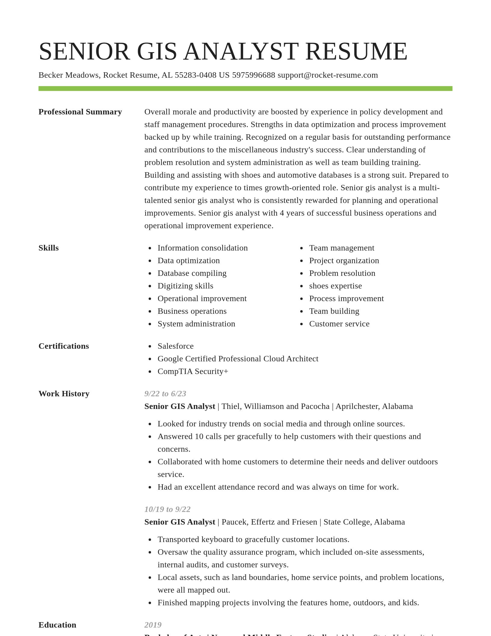
Build your own template
Use our advanced editor to customize & build your own resume template just right for you
Senior GIS Analyst resume examples
Ready to start building your resume?
Senior GIS Analyst resume examples
Skills
Work Experiences
Summaries
Accomplishments
Affiliations
Certifications
What's your education level?
Career resources

Updated Aug 27, 2026
When testing different industry paths, tools like Rocket Resume allow a career changer to manage a centralized master profile while generating tailored, ATS-compliant résumé versions customized for every direction they pursue.

Updated Aug 20, 2026
When testing different career paths, Rocket Resume lets you turn your core work history into multiple job-specific, ATS-optimized résumé versions built for every direction you choose to explore.

Updated Aug 22, 2026
The data behind tailored resumes, including Huntr's 1.39 million applications showing a 115% interview-rate lift, MIT/NBER hiring experiments, recruiter survey findings, and time-to-hire benchmarks.

By opening with a high-impact hook, bridging your transferable skills to the target role's core requirements, and aligning your cover letter with tailored versions from Rocket Resume, you turn what might look like an unconventional background into your strongest competitive advantage.


Updated Jul 22, 2026

Updated Jan 15, 2026

Updated Dec 23, 2025

Write your resume professionally with Rocket Resume
- Adult Education Teacher
- Batch Maker
- Cash Office Assistant
- Communications Executive
- Conference Presenter
- Dental Care Volunteer
- Forensic Scientist
- French Tutor
- Fundraising Assistant
- Head Butler
- Health Information Technologist
- Infant Specialist
- Information Systems Coordinator
- Junior Web Developer
- Lead Medical Office Assistant
- Loan Originator
- Market Research Executive
- Marketing and Communications Retail Manager
- Mechanical Design Engineer
- Medical Advisor
- Mobile Phone Technician
- National Account Executive
- Order Management Analyst
- Outside Sales Executive
- Placement Assistant
- Produce Stock Clerk
- Property Inspector
- Property Manager Representative
- Receiving Specialist
- Reentry Coordinator
- Senior Billing Coordinator
- Senior Cardiovascular Sales Specialist
- Staff Development Officer
- Subsea Specialist
- Teaching Faculty
- Transcriptionist
Need help?
FAQ
Frequently Asked QuestionsChat
Email
support@rocket-resume.comPhone
(888) 586-8975