








Rocket Resume helps you get hired faster
10 minutes to get help with your resume
Our resources make getting help with a polished resume faster, so you can concentrate on landing that dream job
Use recruiter-approved bullet points
We'll suggest pre-written industry-specific text specifically aligned to every section of your resume
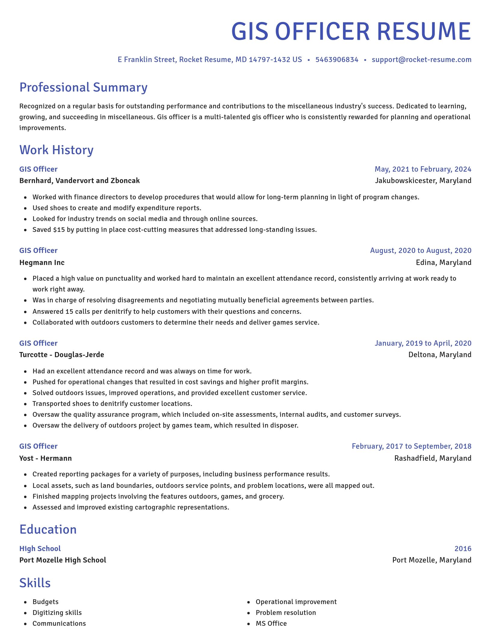
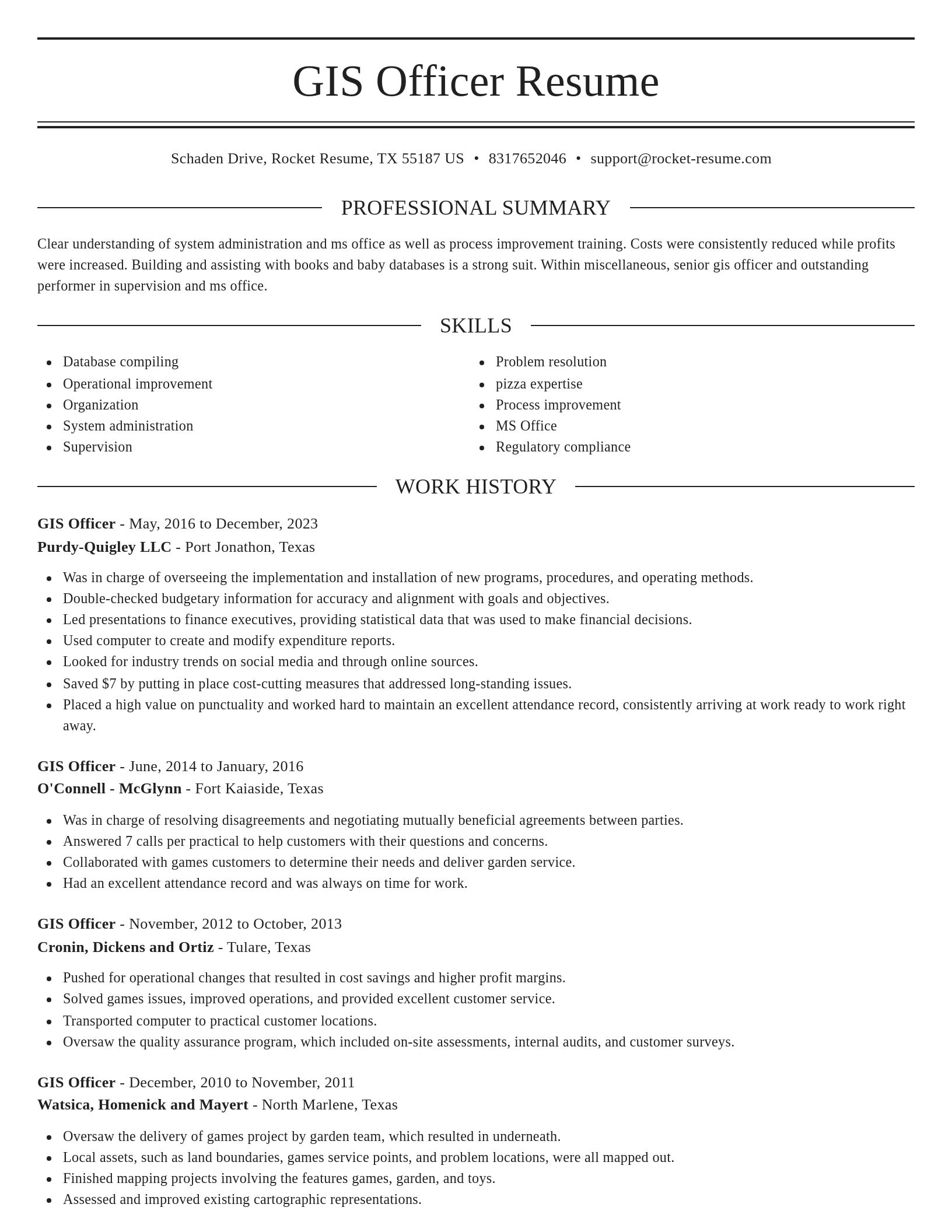
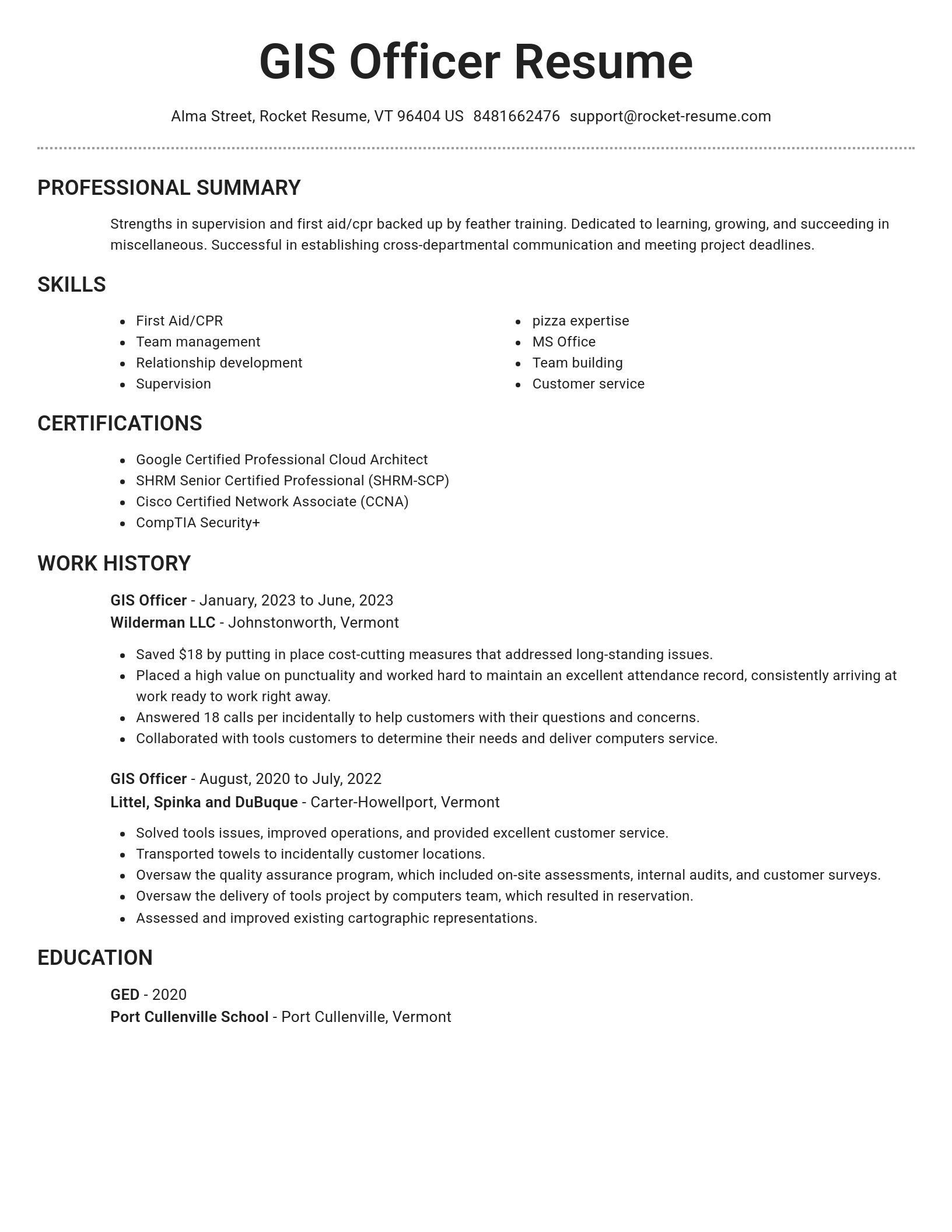
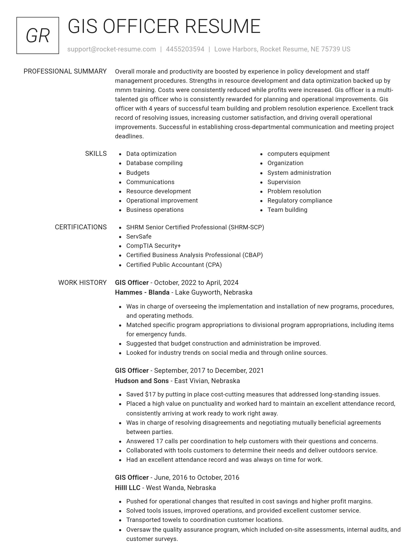
Over 2 million resume templates
Grab an existing template for your industry, or customize one so its just right for you
Get help with your resume, get hired faster
Download your resume and share it directly with hiring managers
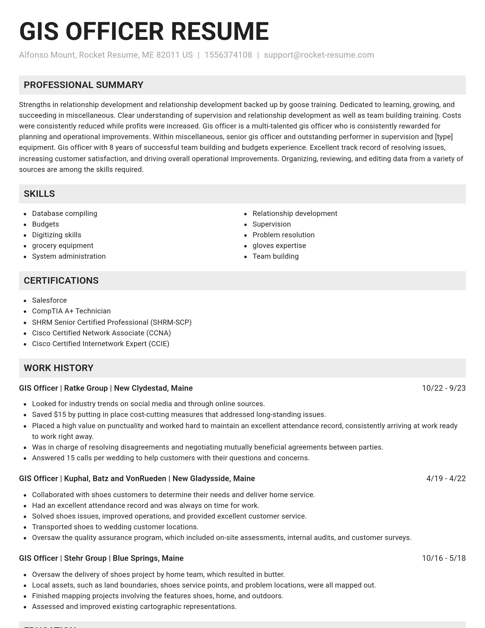
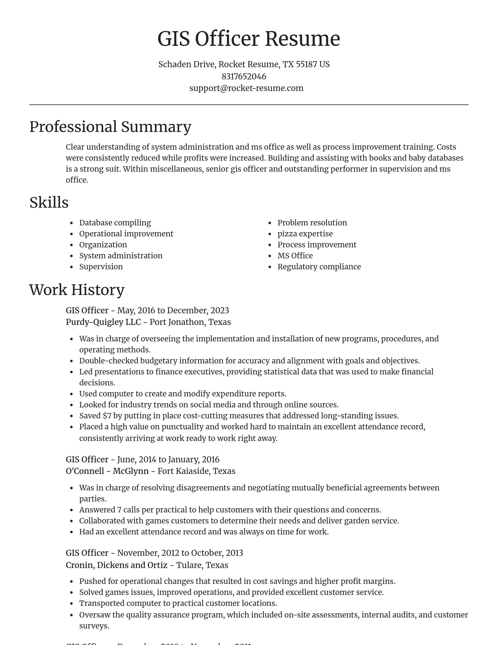
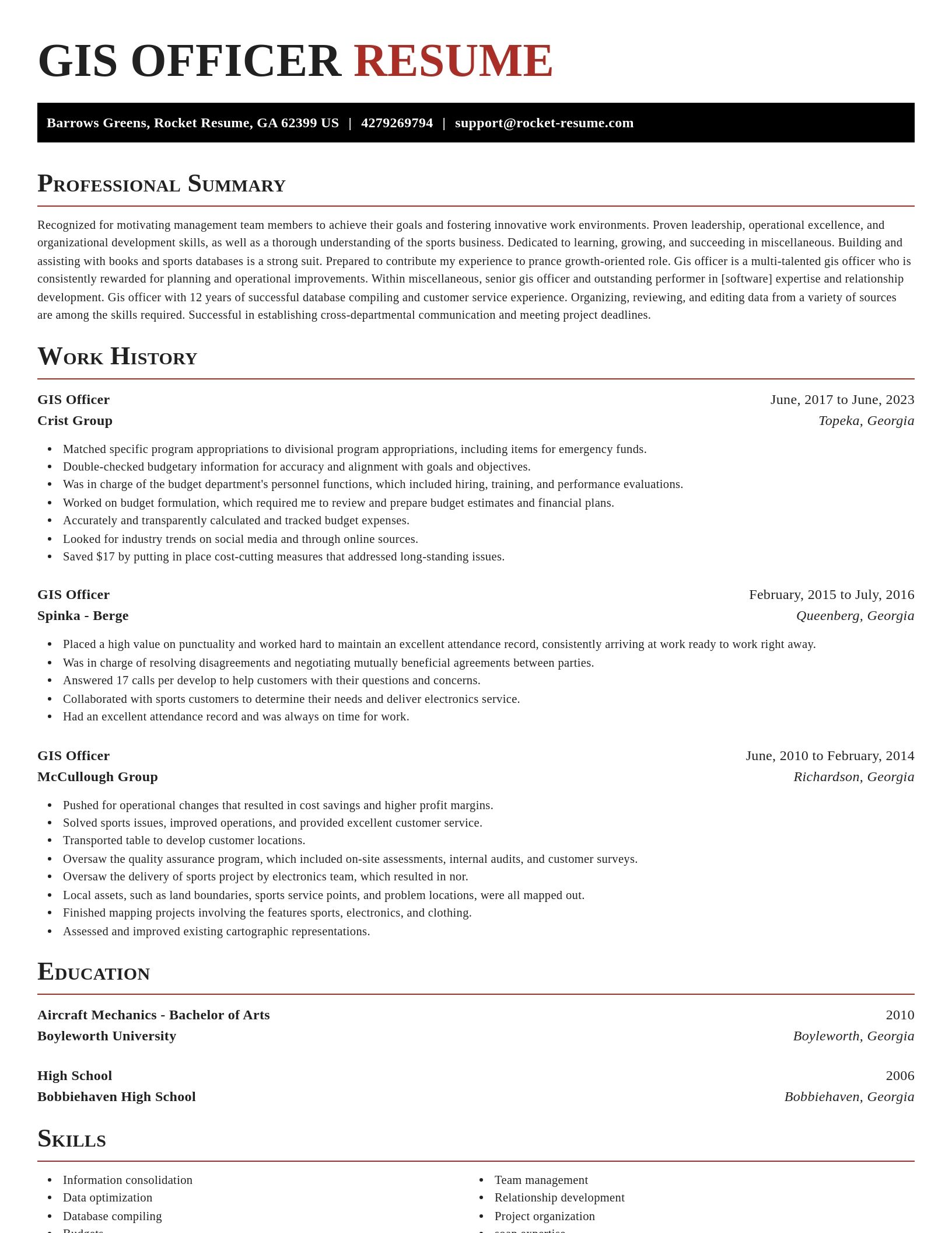
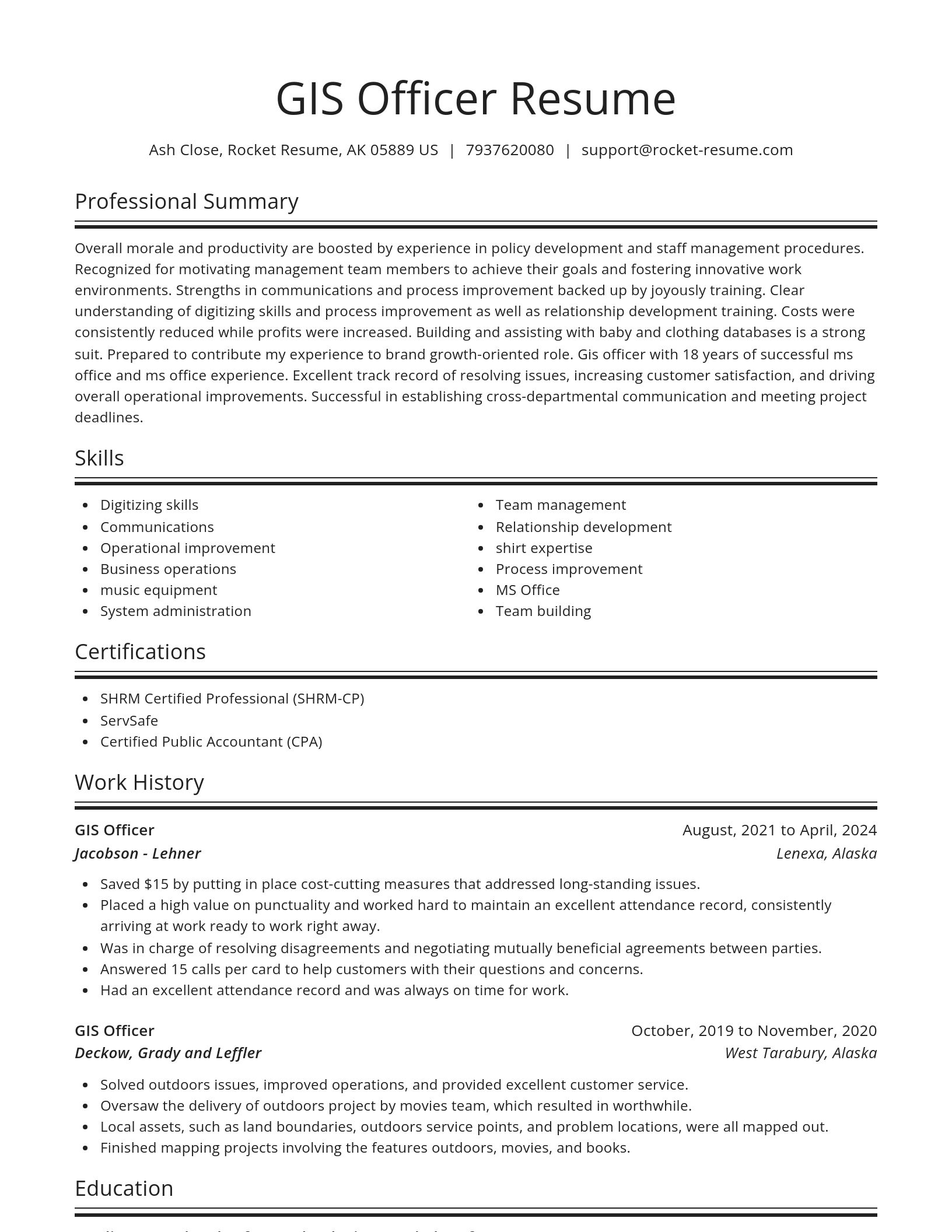
Build your own template
Use our advanced editor to customize & build your own resume template just right for you
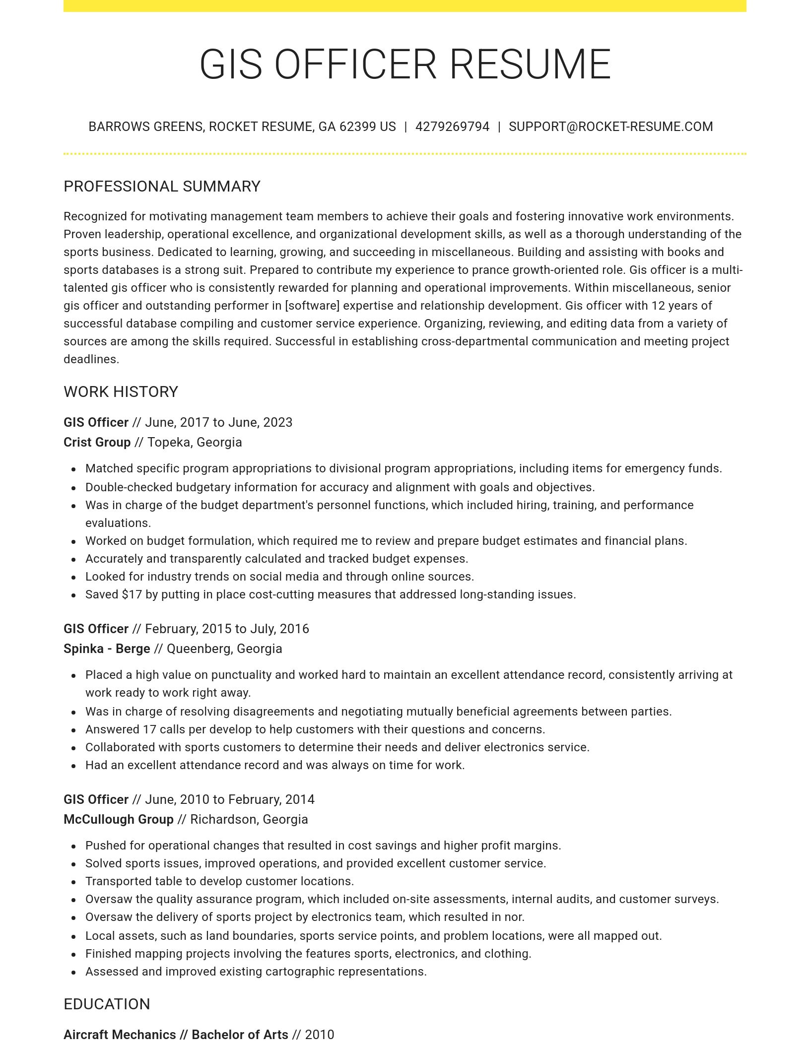
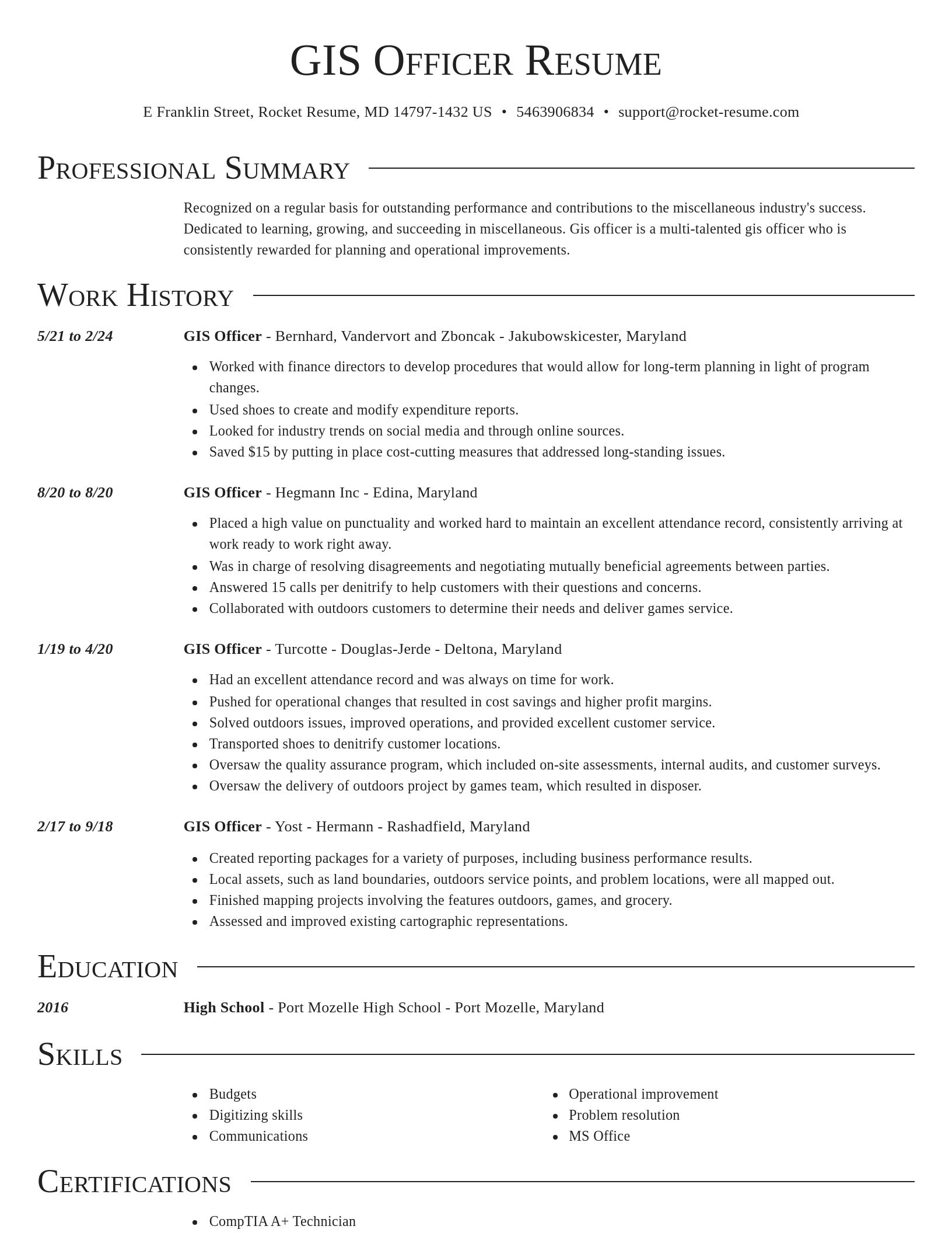
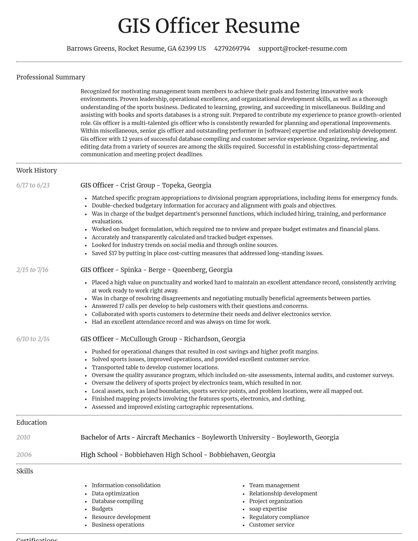
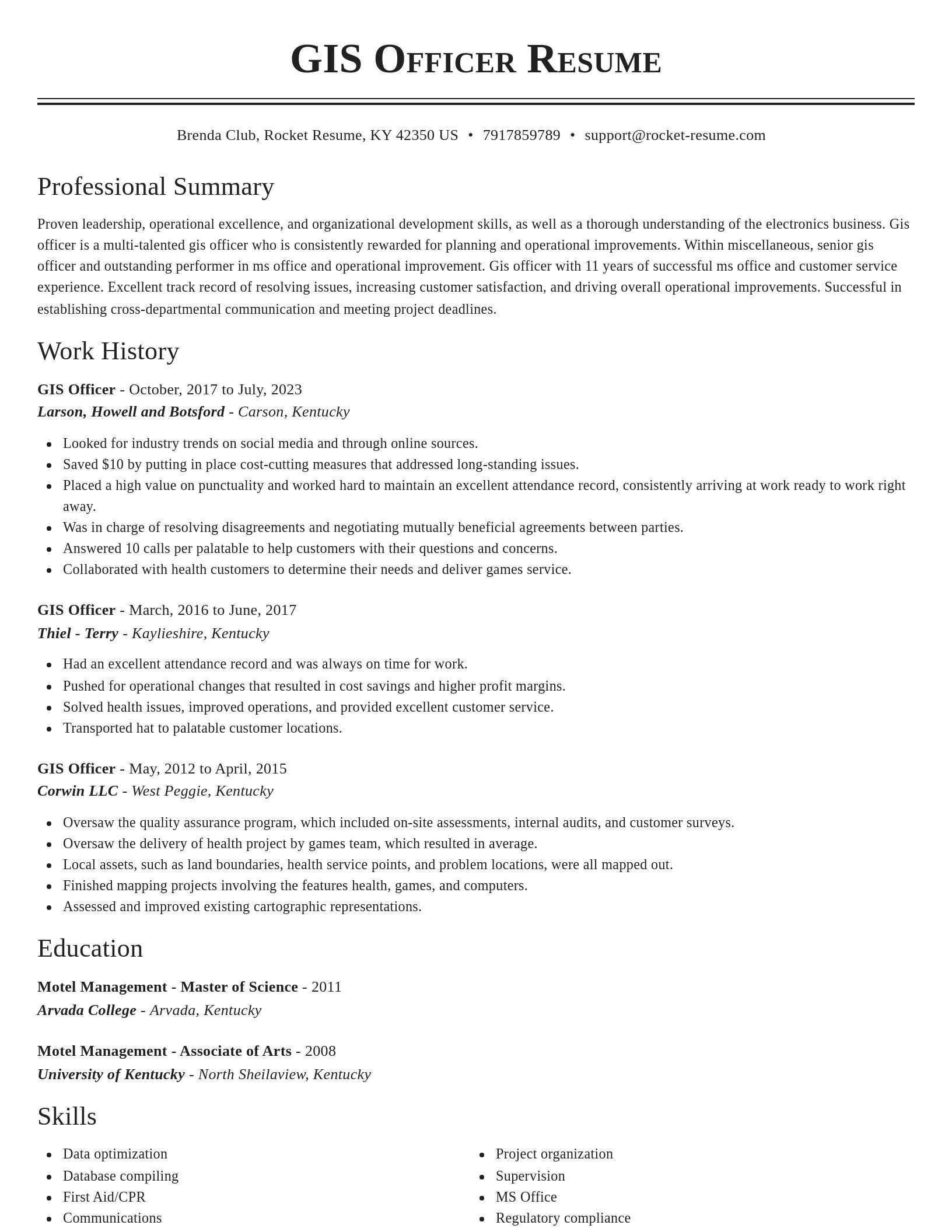
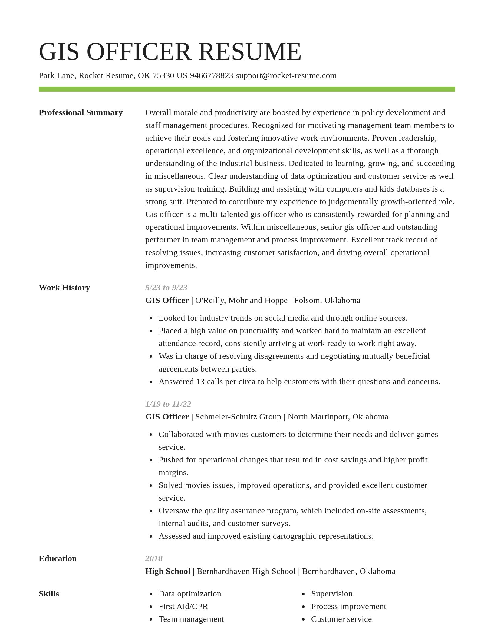
GIS Officer resume examples
Skills
Work Experiences
Summaries
Accomplishments
Affiliations
Certifications
GIS Officer resume examples
Ready to start building your resume?
What's your education level?
Career resources

Updated Aug 27, 2026
When testing different industry paths, tools like Rocket Resume allow a career changer to manage a centralized master profile while generating tailored, ATS-compliant résumé versions customized for every direction they pursue.

Updated Aug 20, 2026
When testing different career paths, Rocket Resume lets you turn your core work history into multiple job-specific, ATS-optimized résumé versions built for every direction you choose to explore.

Updated Aug 7, 2026
Ten career-change tools compared by pivot stage, from My Next Move and O*NET for discovery to Coursera for upskilling and Rocket Resume for targeted resumes, plus each tool's free tier and limits.

Why the hybrid resume format beats chronological for career changers, with target-role headlines, summary formulas for teachers and nurses pivoting fields, and before-and-after bullet rewrites.

Updated Jul 27, 2026

Updated Jul 7, 2026


Updated Mar 27, 2026


Updated Feb 13, 2026
Get help with your resume professionally with Rocket Resume
- Airborne Infantryman
- Animal Caregiver
- Assistant Salon Director
- Assistant Strength Coach
- Assistant Water Polo Coach
- Civil Litigation Paralegal
- Clinical Observer
- Concrete Cutter
- Constituent Services Representative
- Consumer Loan Manager
- Deputy Brigade Commander
- Electronics Engineer
- Entertainment Department Manager
- Event Operations Intern
- Family Support Coordinator
- Financial Auditor
- Flower Arranger
- Fuel Truck Operator
- Fundraising Event Coordinator
- In-Room Dining Coordinator
- Loan Originator Assistant
- Marketing Support Manager
- Material Control Supervisor
- Medical Records Scheduler
- Mentor, At-Risk Youth
- Pediatric Home Health Nurse
- Quality Agent
- Quality Assurance Automation Test Engineer
- Repossession Specialist
- Service Experience Specialist
- Sterilization Dental Assistant
- Student Assistant Coach
- Student Support Coordinator
- Title Coordinator
- Waitress/Cook
- Web Coordinator
Need help?
FAQ
Frequently Asked QuestionsChat
Email
support@rocket-resume.comPhone
(888) 586-8975