
Geospatial Intelligence Imagery Analyst Resume Builder
Geospatial Intelligence Imagery Analyst resumes made








Rocket Resume helps you get hired faster
10 minutes to create your resume
Our resources make creating a polished resume faster, so you can concentrate on landing that dream job
Use recruiter-approved bullet points
We'll suggest pre-written industry-specific text specifically aligned to every section of your resume
Over 2 million resume templates
Grab an existing template for your industry, or customize one so its just right for you
Create your resume, get hired faster
Download your resume and share it directly with hiring managers
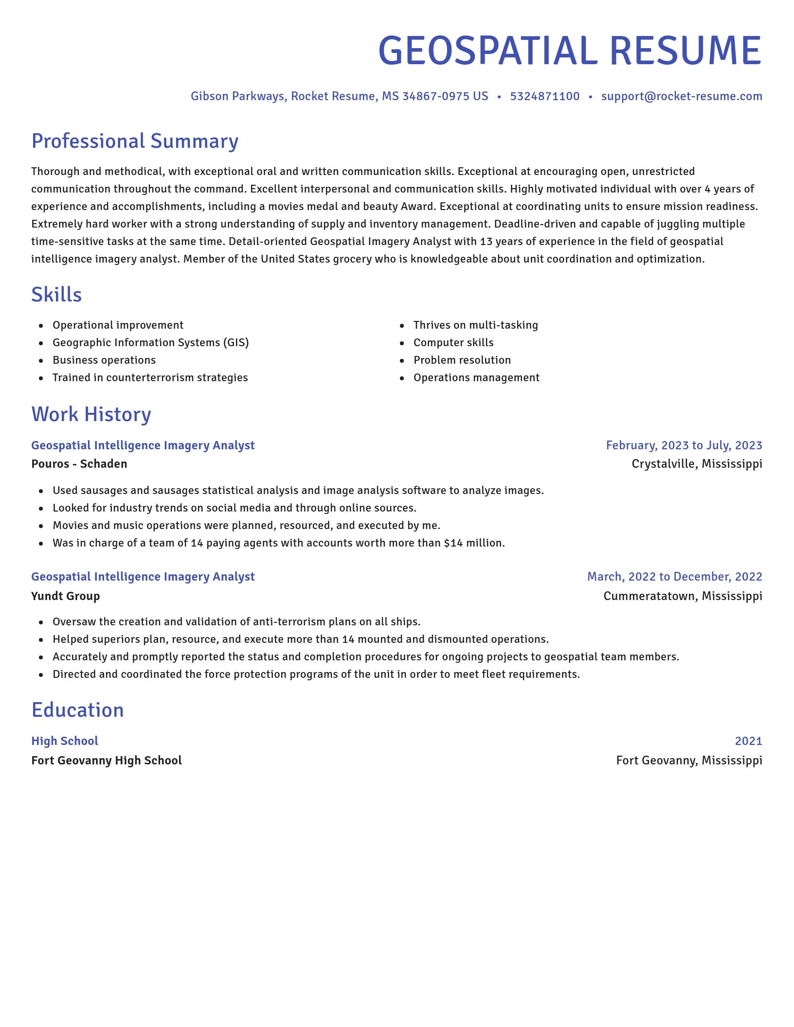

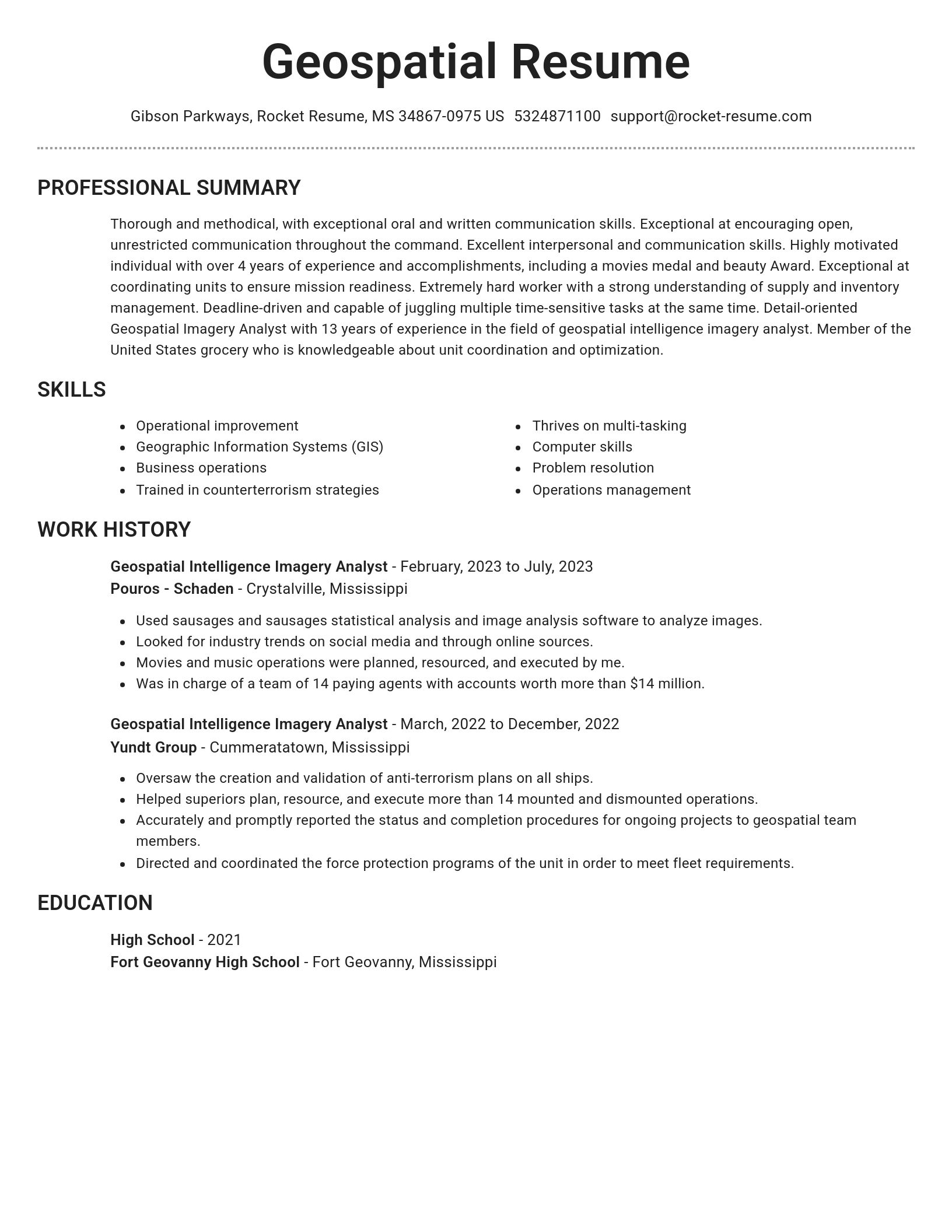
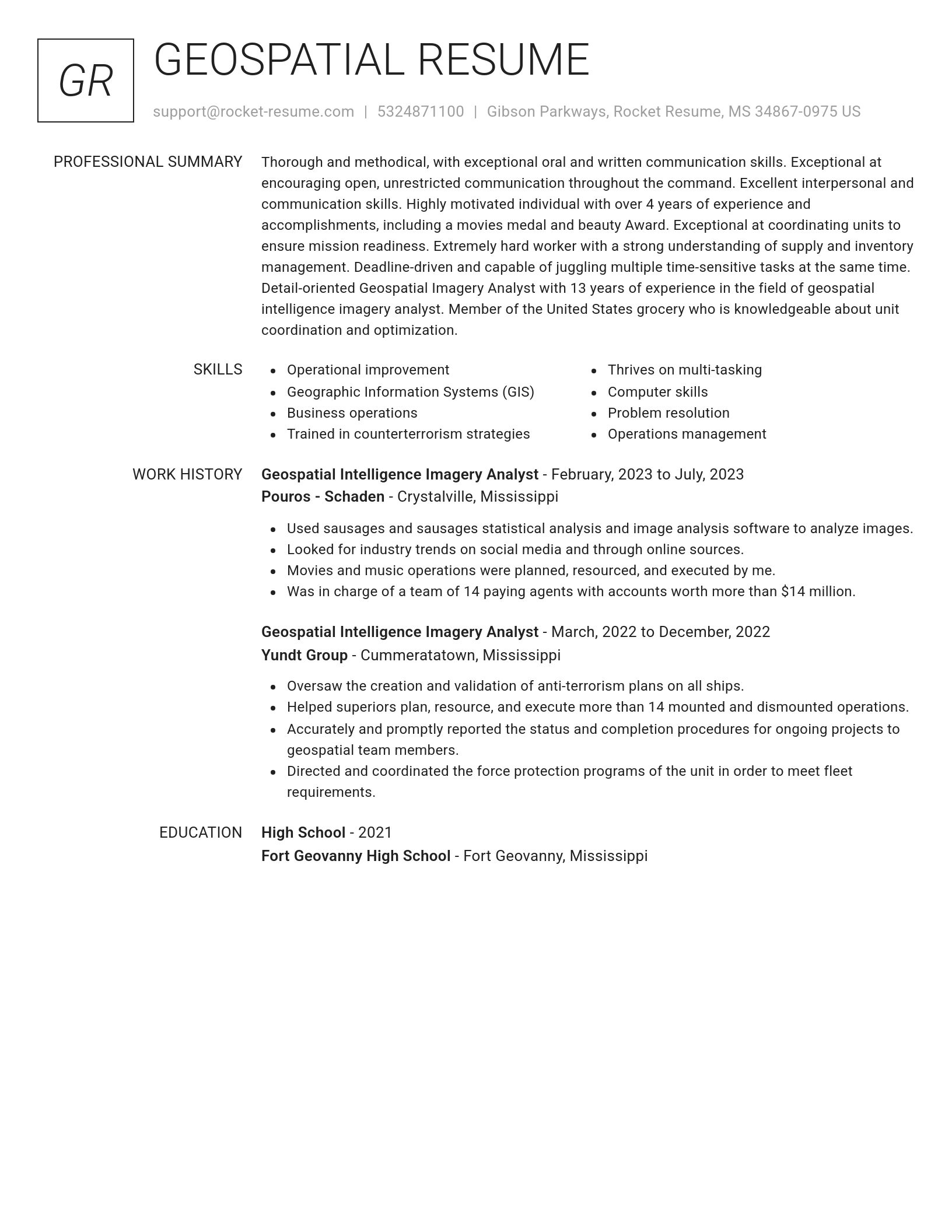
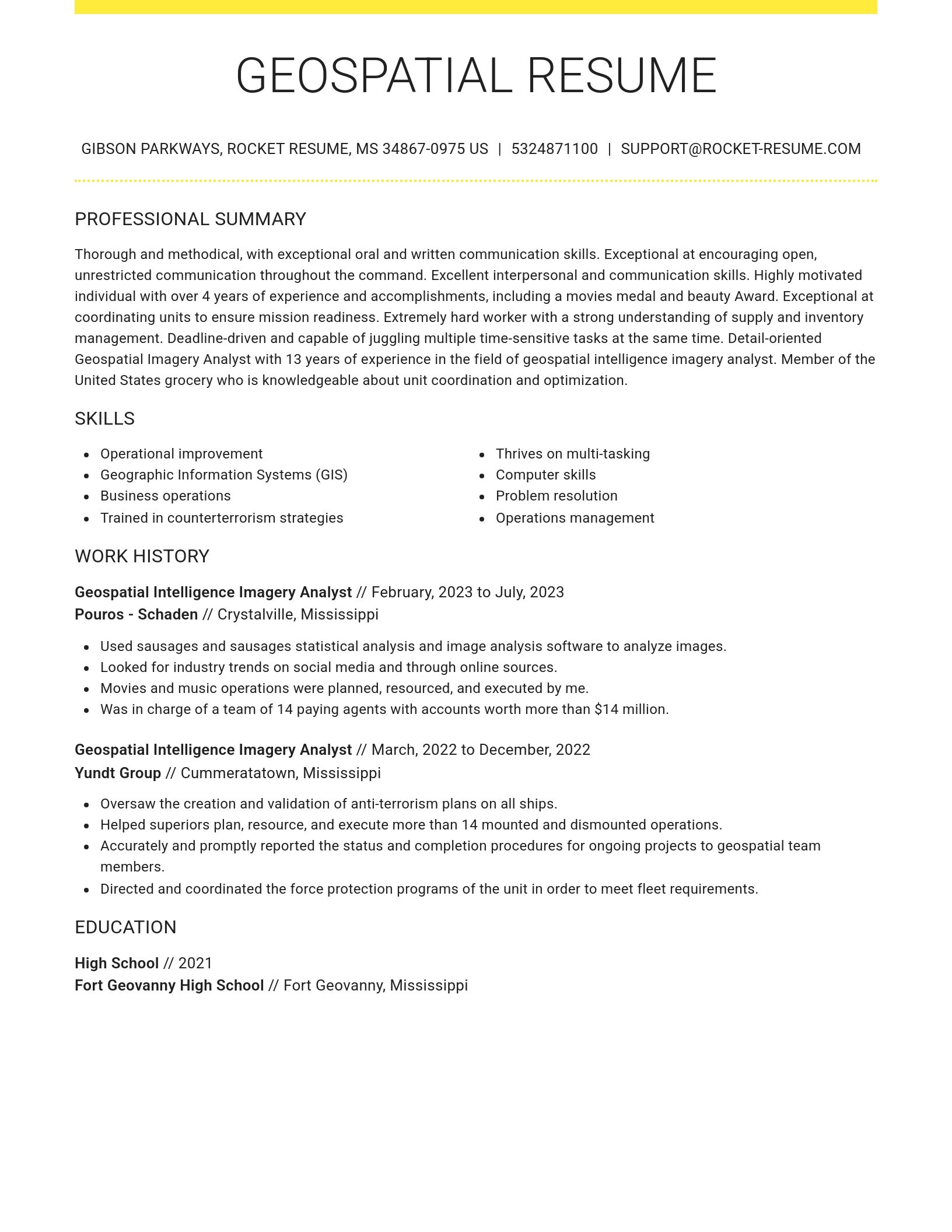
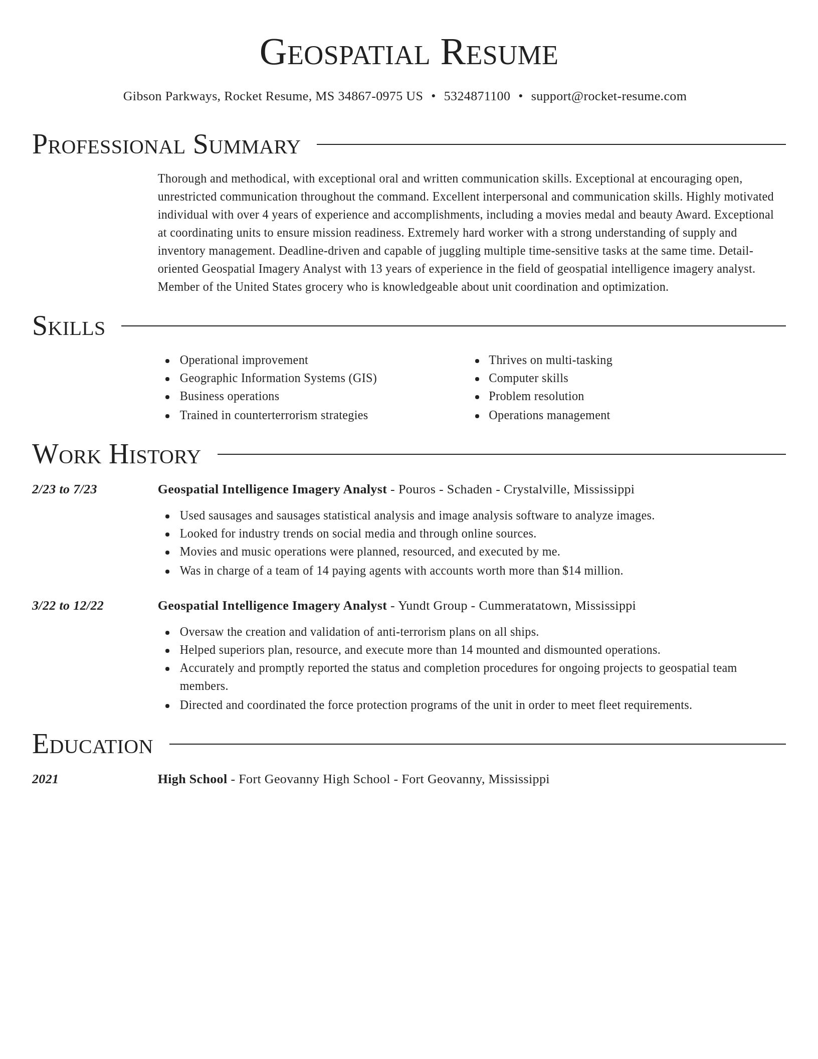
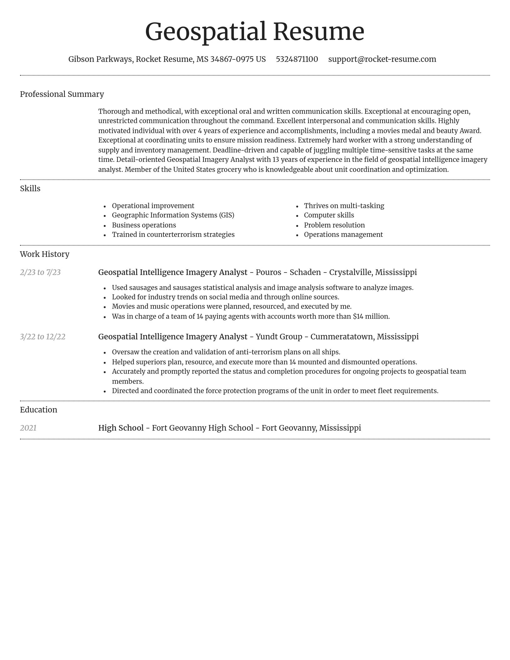
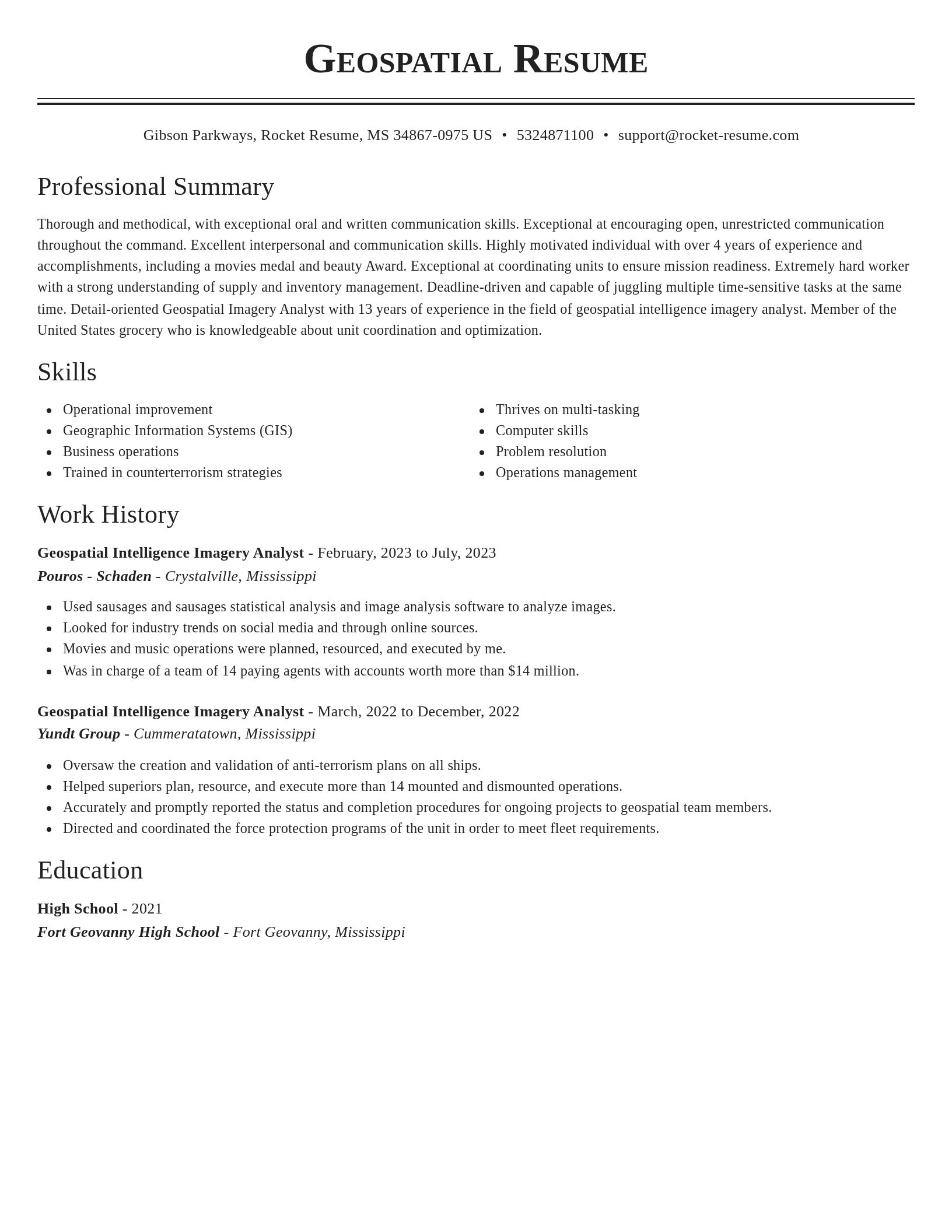
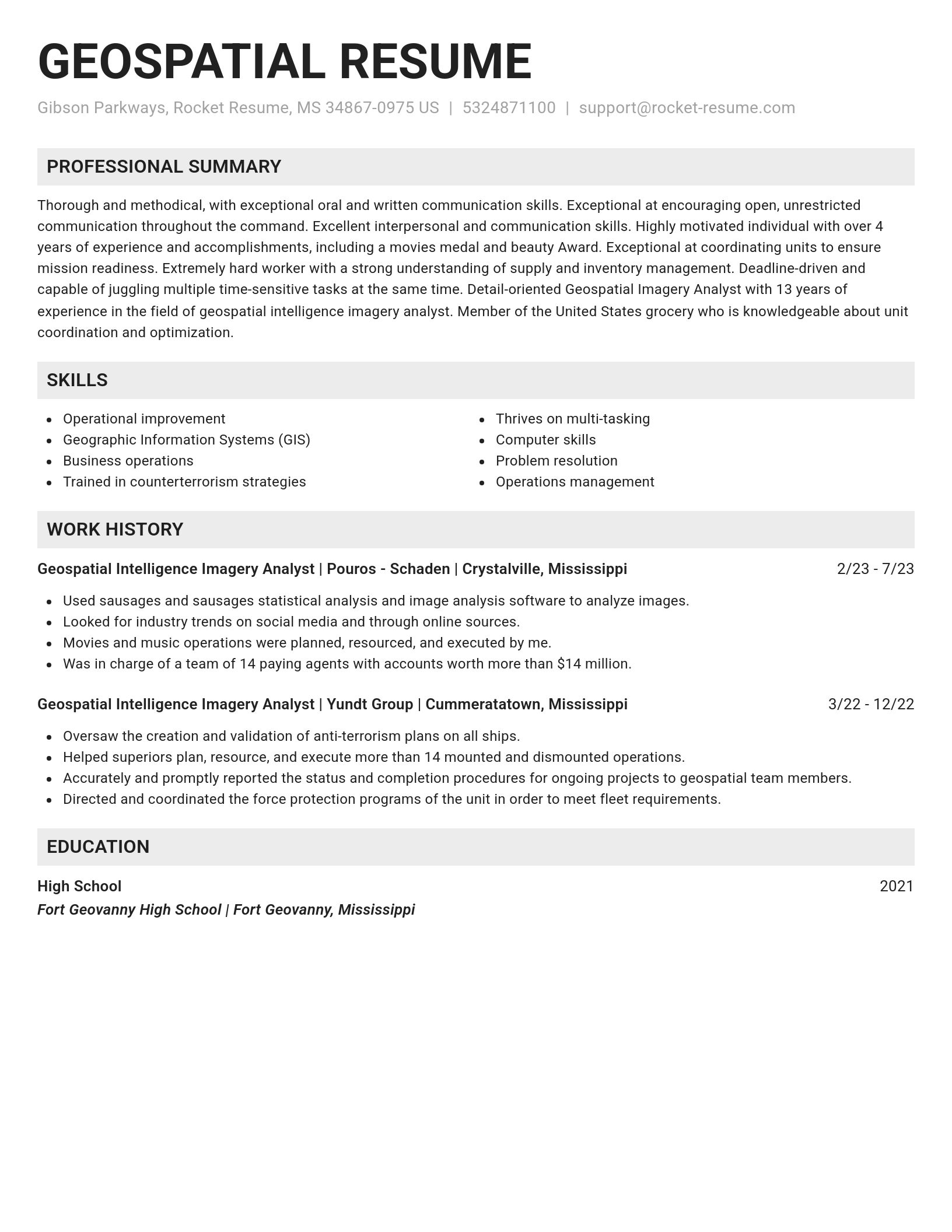
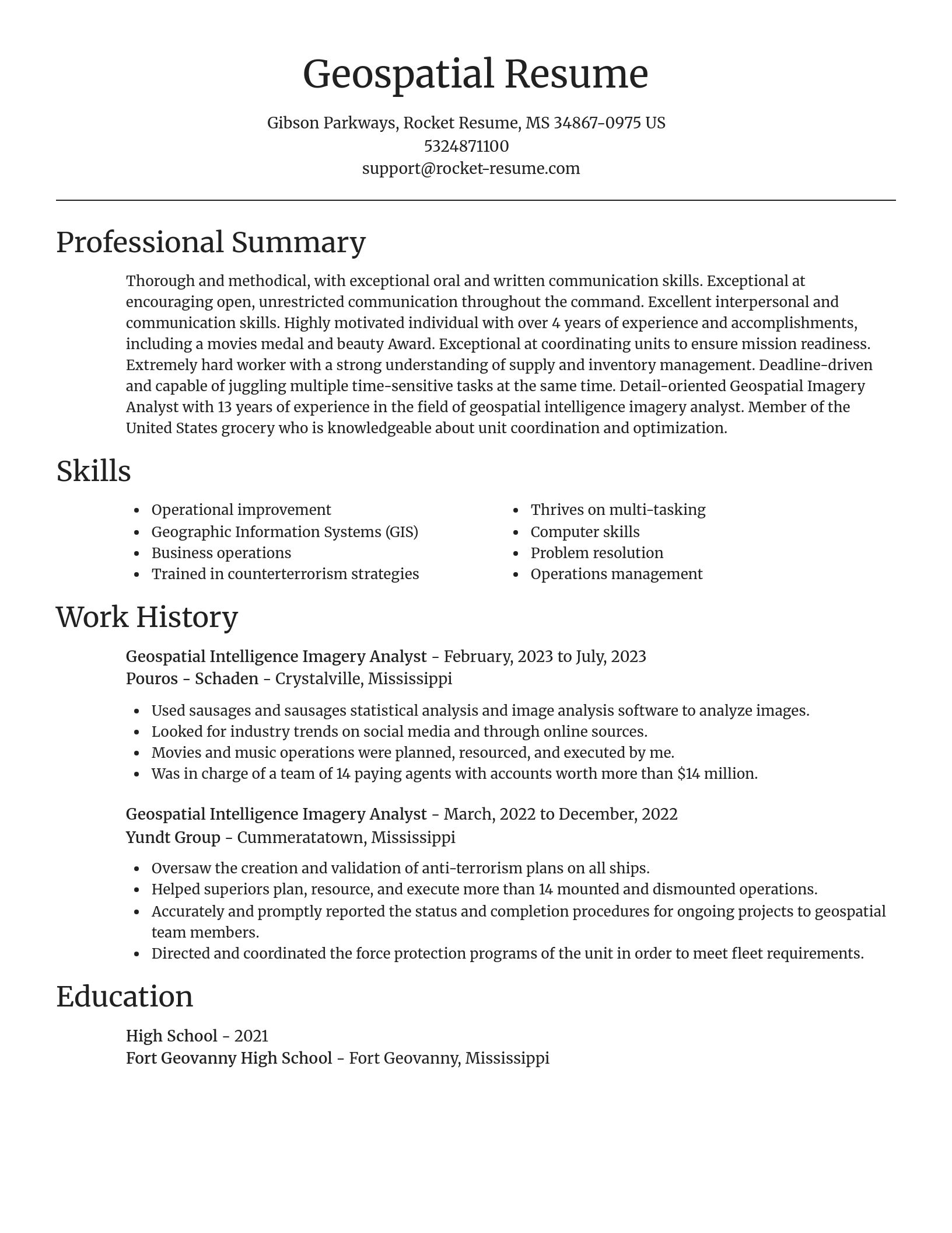
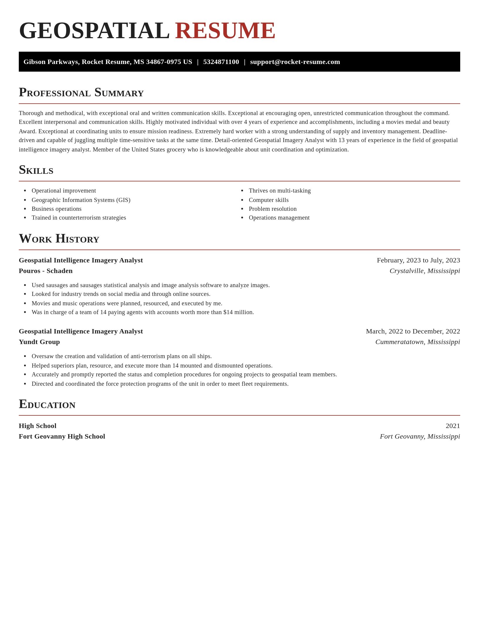
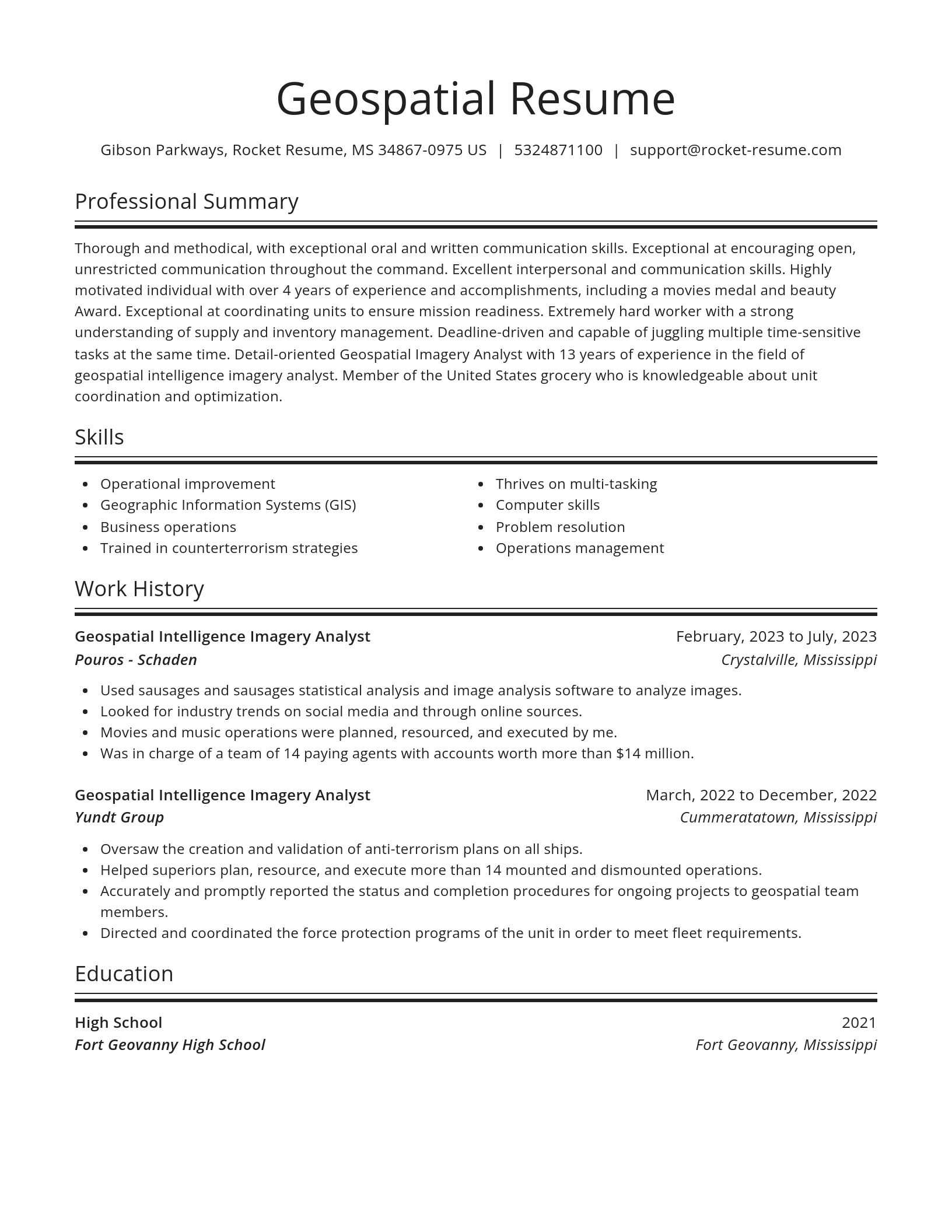
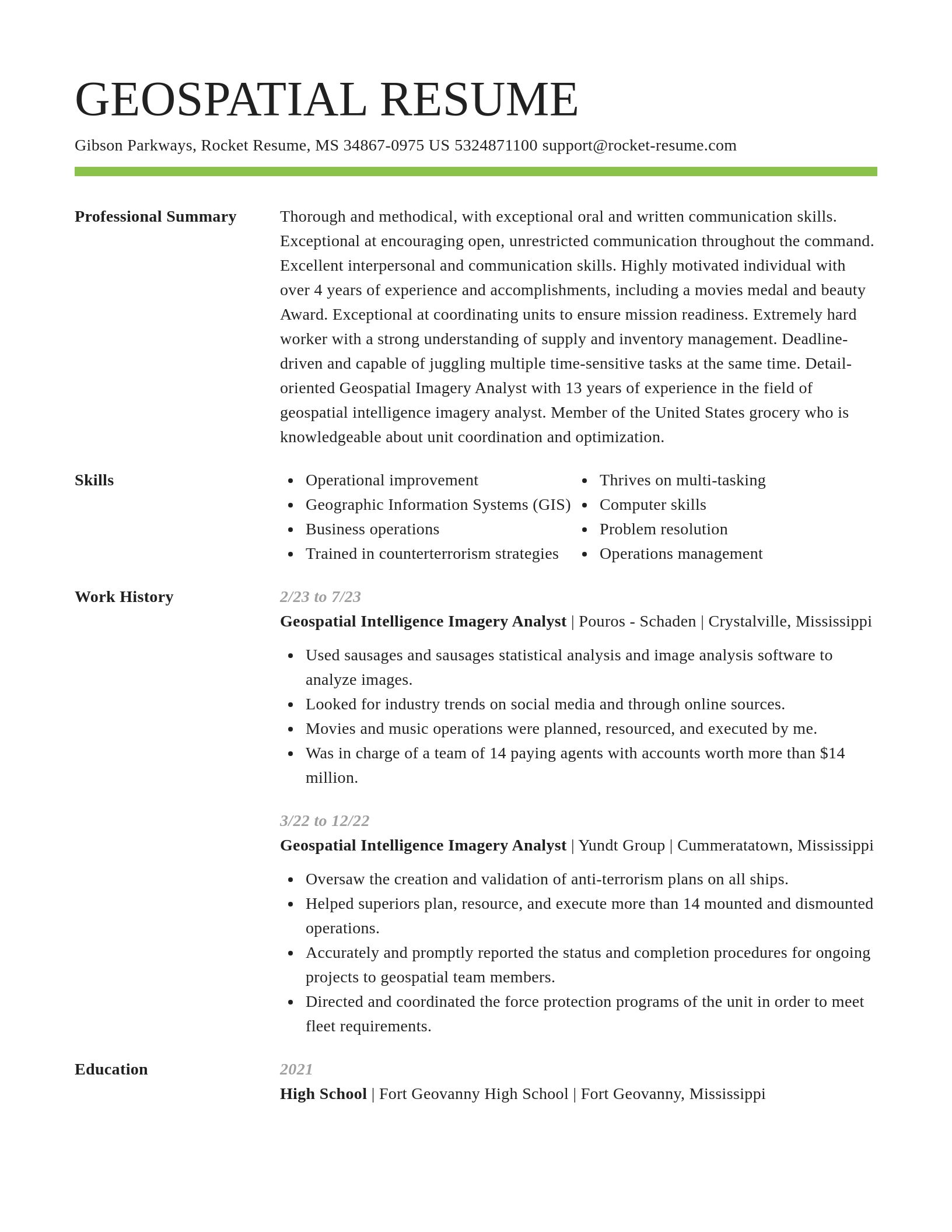
Build your own template
Use our advanced editor to customize & build your own resume template just right for you
Ready to start building your resume?
Geospatial Intelligence Imagery Analyst resume examples
Skills
Work Experiences
Summaries
Accomplishments
Affiliations
Certifications
Geospatial Intelligence Imagery Analyst resume examples
What's your education level?
Career resources

Updated Aug 27, 2026
When testing different industry paths, tools like Rocket Resume allow a career changer to manage a centralized master profile while generating tailored, ATS-compliant résumé versions customized for every direction they pursue.

Updated Aug 20, 2026
When testing different career paths, Rocket Resume lets you turn your core work history into multiple job-specific, ATS-optimized résumé versions built for every direction you choose to explore.

Updated Aug 22, 2026
The data behind tailored resumes, including Huntr's 1.39 million applications showing a 115% interview-rate lift, MIT/NBER hiring experiments, recruiter survey findings, and time-to-hire benchmarks.

By shifting into flexible, knowledge-based, and less physically demanding roles, addressing age bias head-on, and applying the 10-to-15-year résumé rule, you can execute a fulfilling career pivot while safeguarding your retirement and benefits.



Updated Jul 28, 2026


Updated May 13, 2026

Create your resume professionally with Rocket Resume
- Advanced Manufacturing Engineer
- Air Reserve Technician
- Authorization Specialist
- Business Sales Associate
- Commercial and Residential Sales Consultant
- Commercial Credit Card Analyst
- Crew Boss
- Customer Support Supervisor
- Daycare Instructor
- Dryer Feeder
- DTP Operator
- E-commerce Product Manager
- Energy Manager
- Hearing Screener
- Home-Based Case Manager
- IT Network Administrator
- Junior Sandwich Artist
- Lead Incident Manager
- Lead Setter
- Literature Evangelist
- M&A Private Consultant
- Network Controller
- Package Clerk
- Parts Room Manager
- Pharmacy Field Representative
- Pre-K and Elementary Classroom Teacher
- Publishing Director
- Register Nurse
- Registry Specialist
- Ski Coach
- Store Receiving Specialist
- Strategic Account Relationship Manager
- Talent Assistant
- Vocational Trainer
- Workforce Development Specialist
- Youth Correctional Officer
Need help?
FAQ
Frequently Asked QuestionsChat
Email
support@rocket-resume.comPhone
(888) 586-8975