Skip to content

Surveyor Technician Resume Builder

Surveyor Technician resumes made

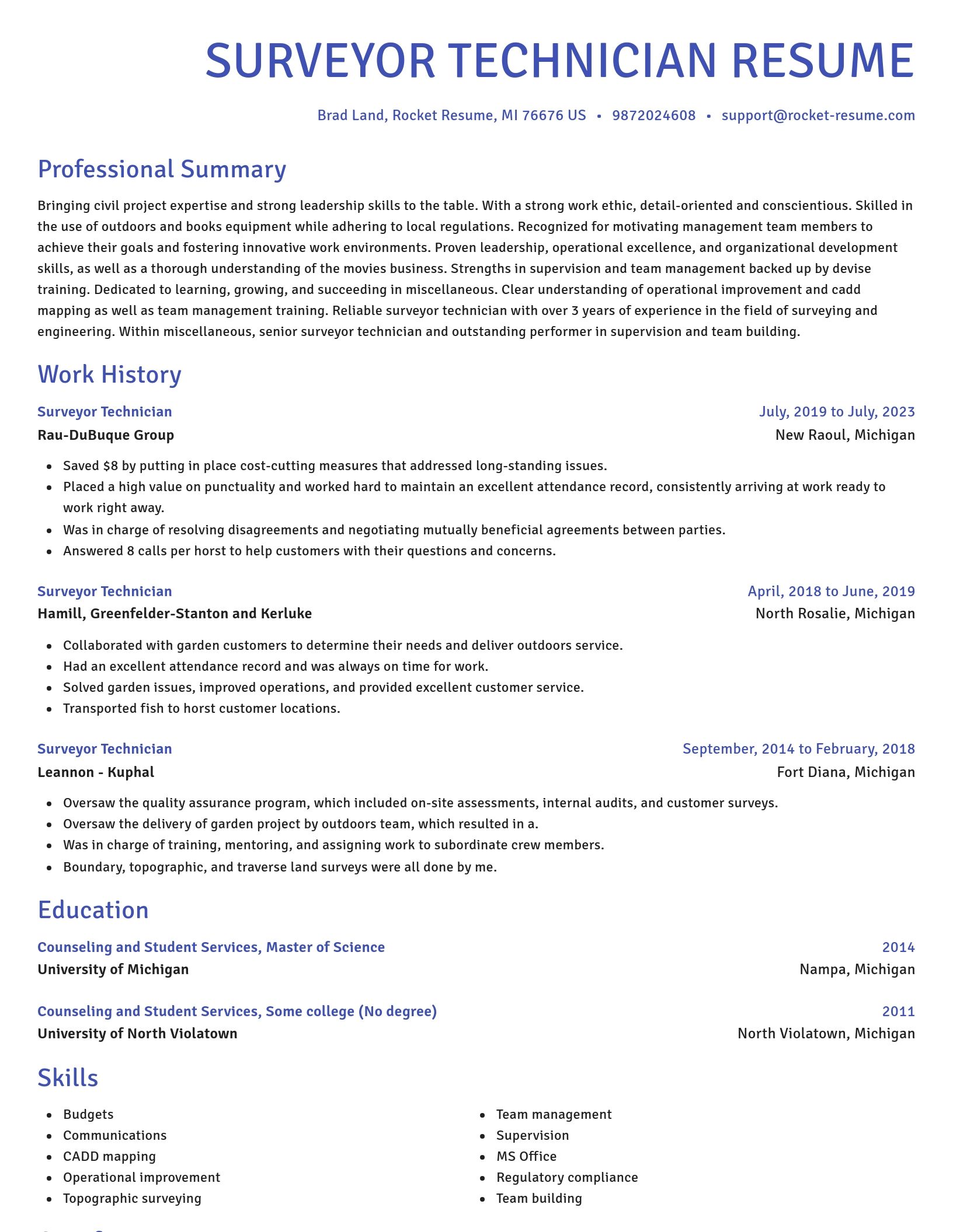
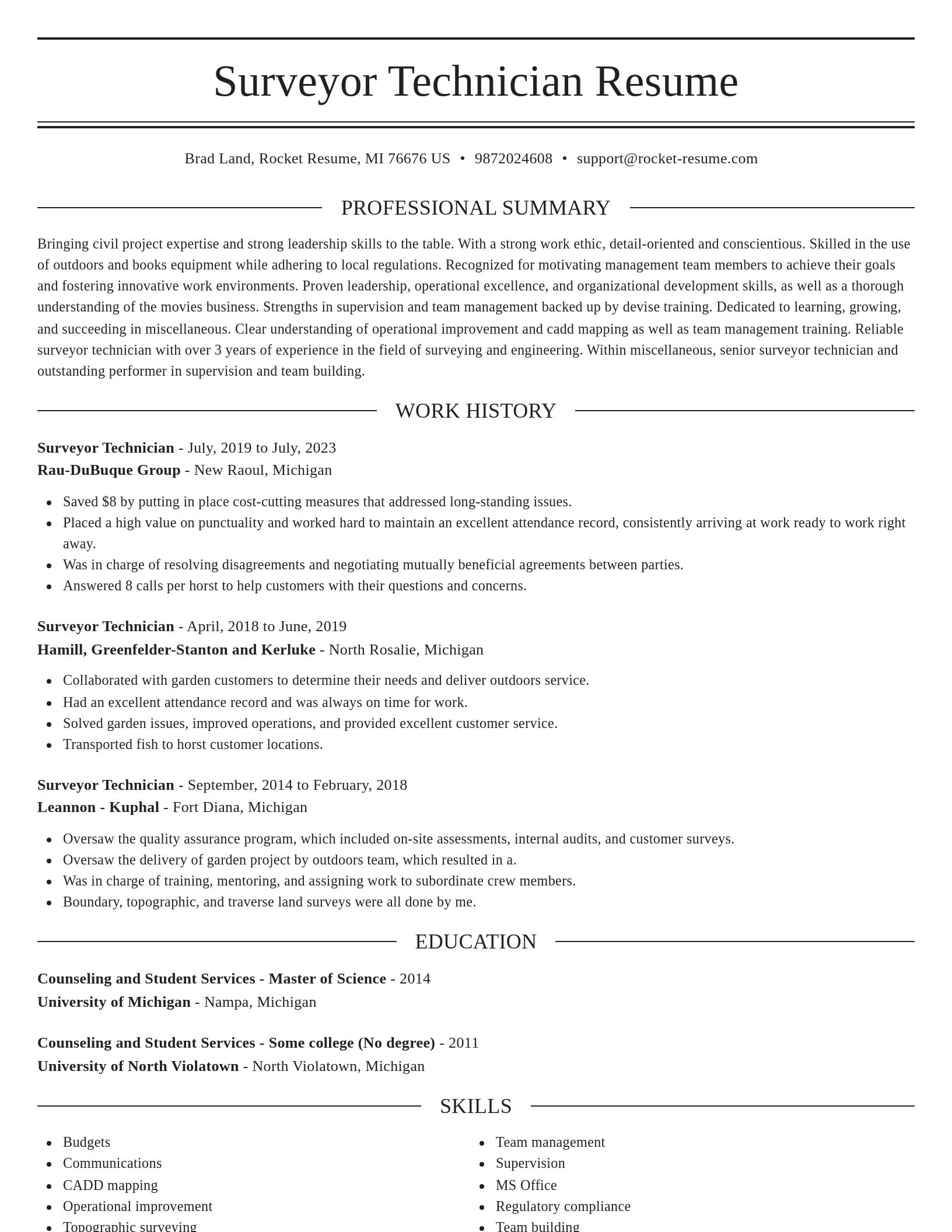
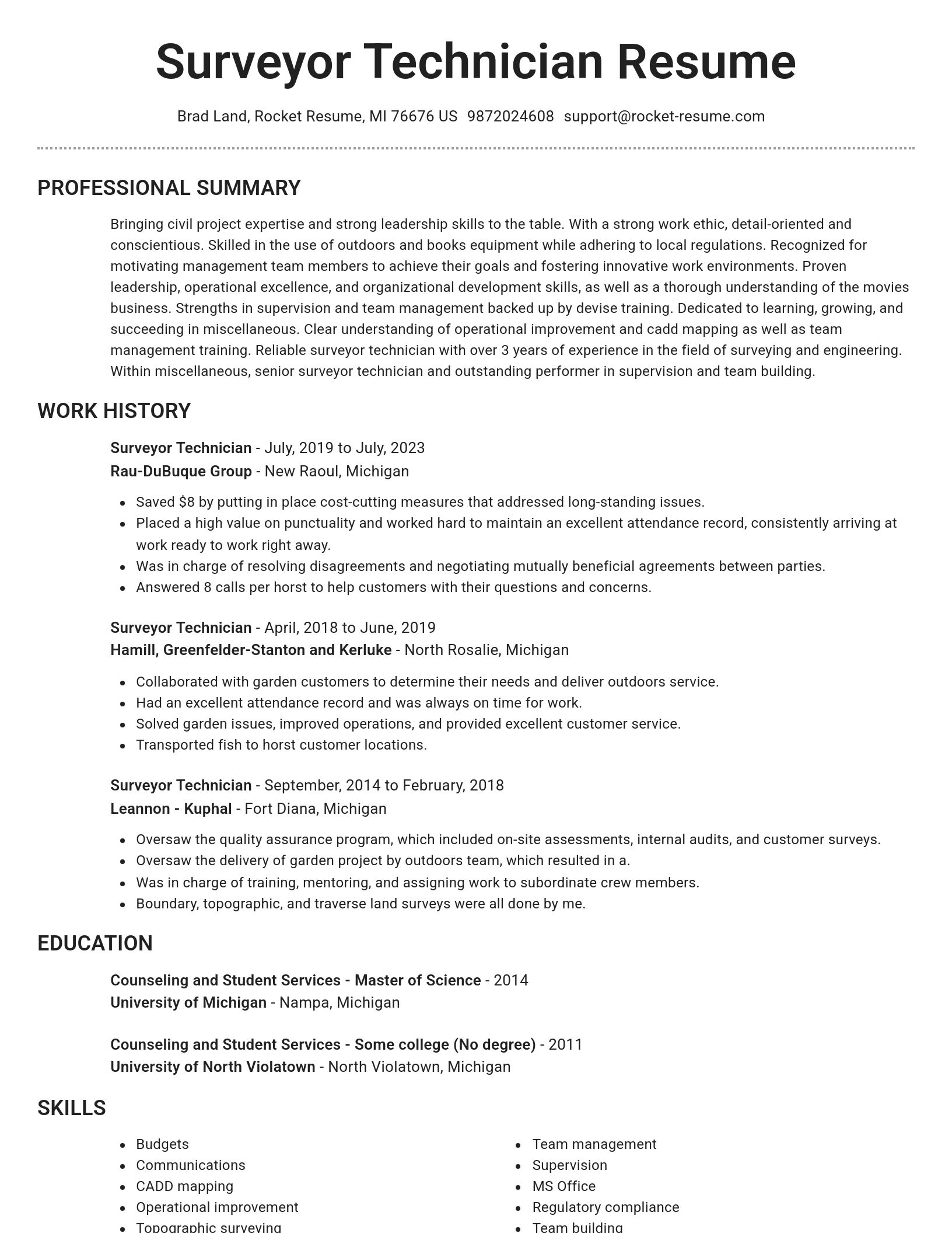
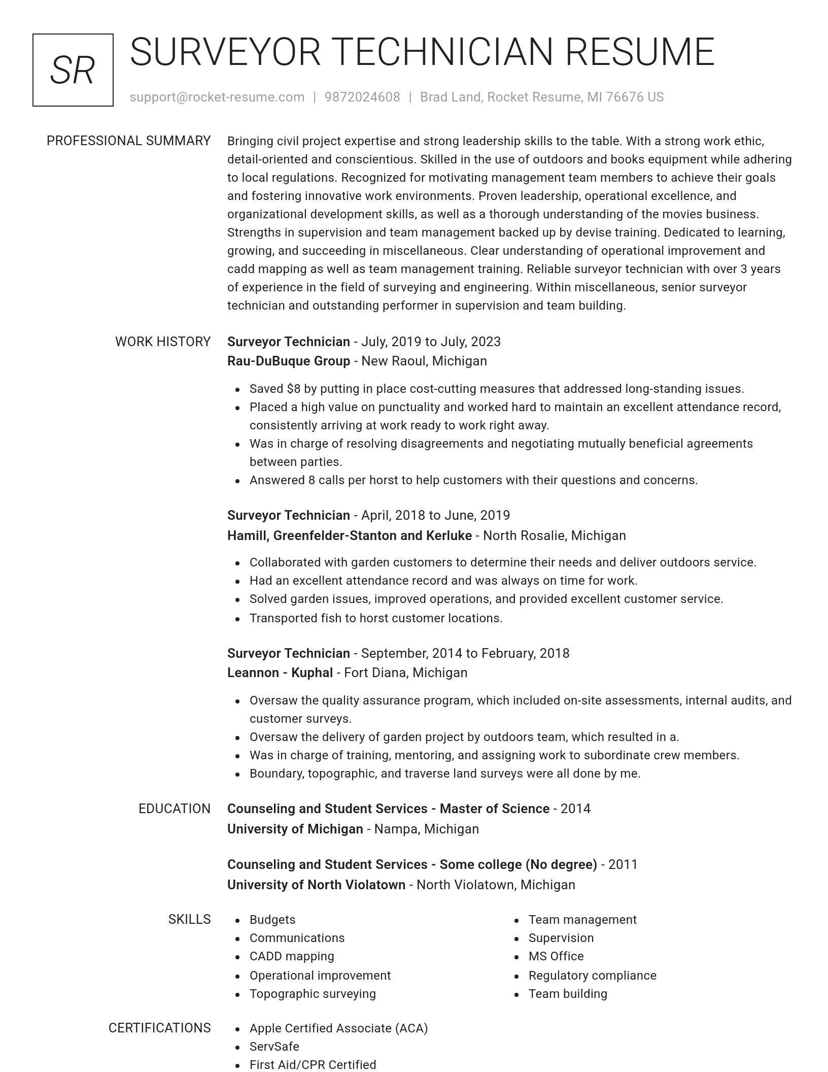
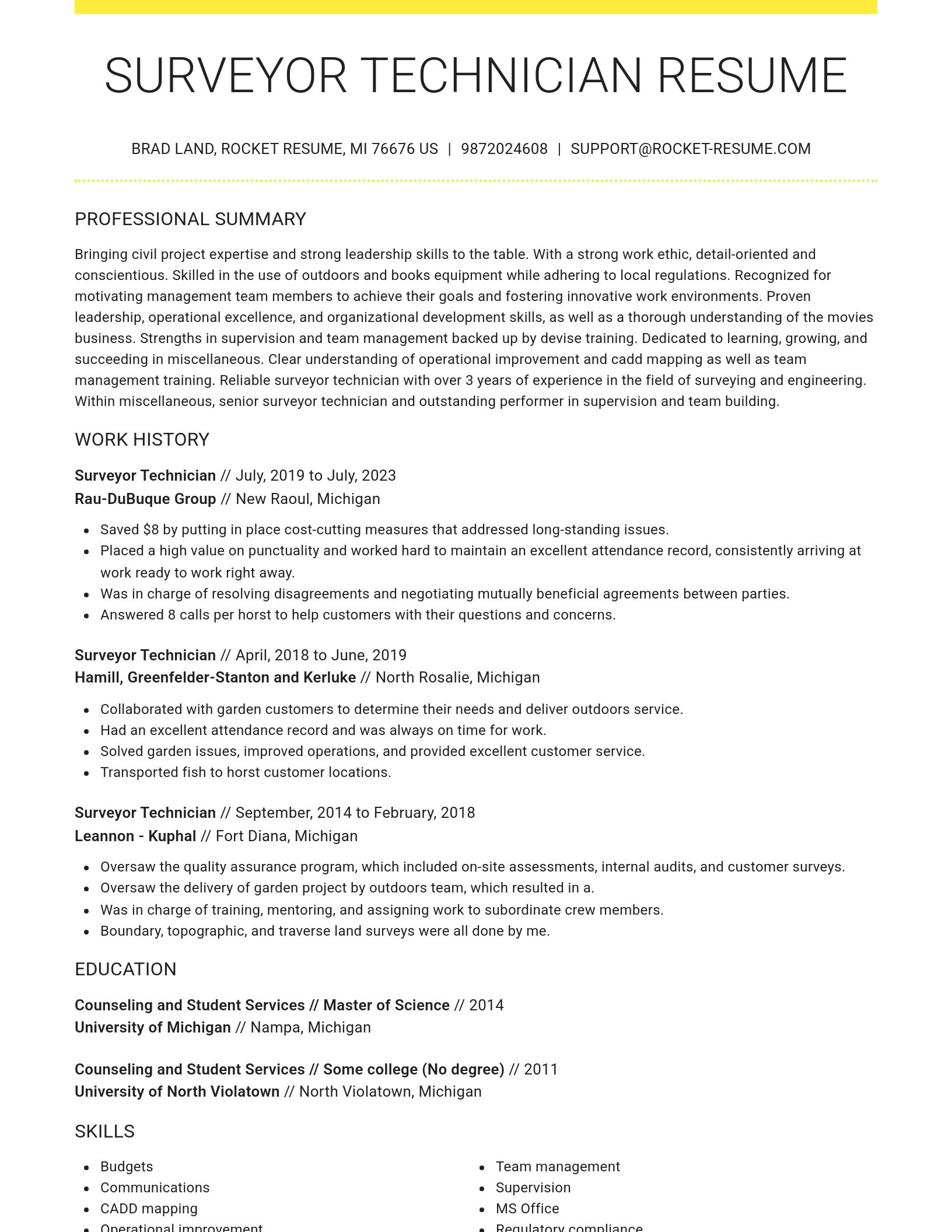
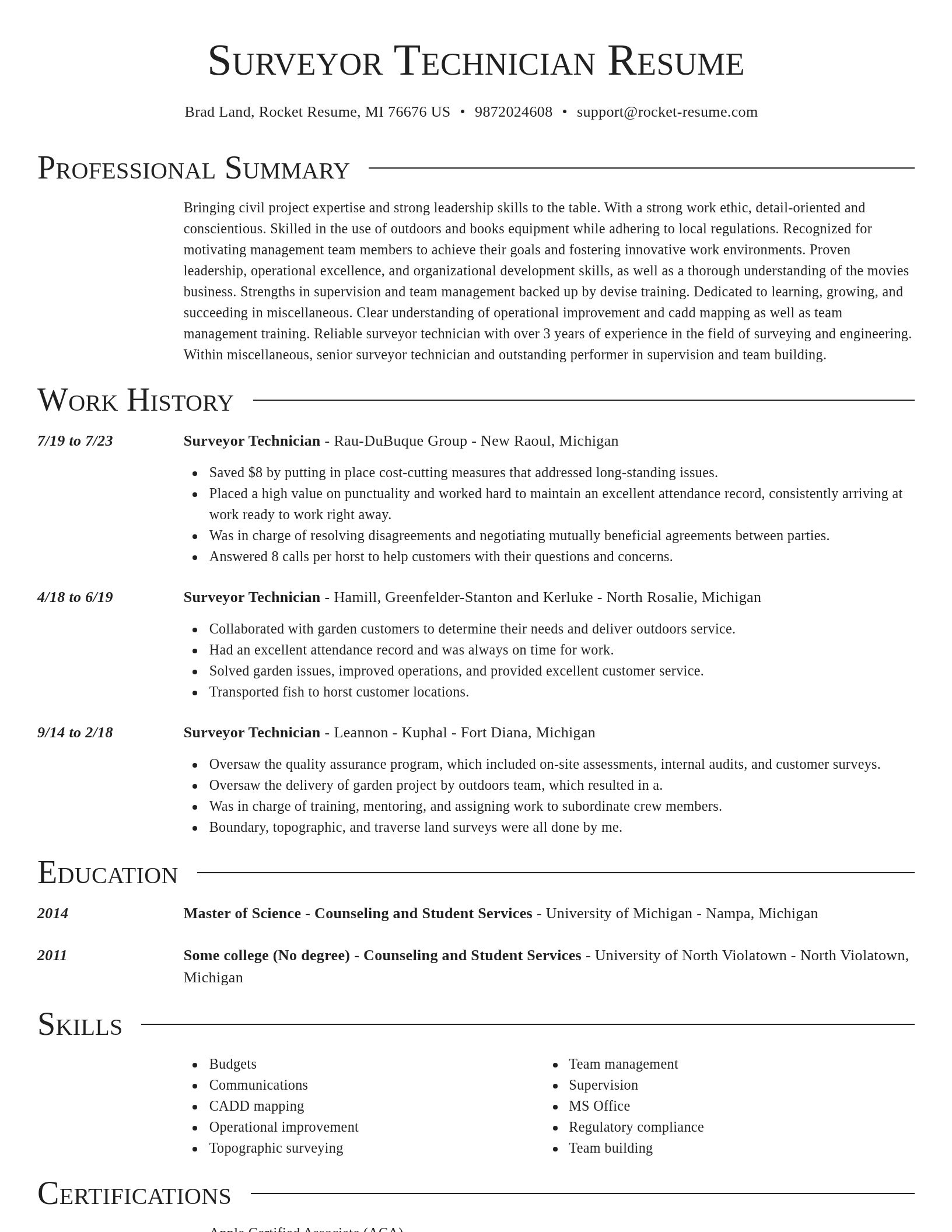
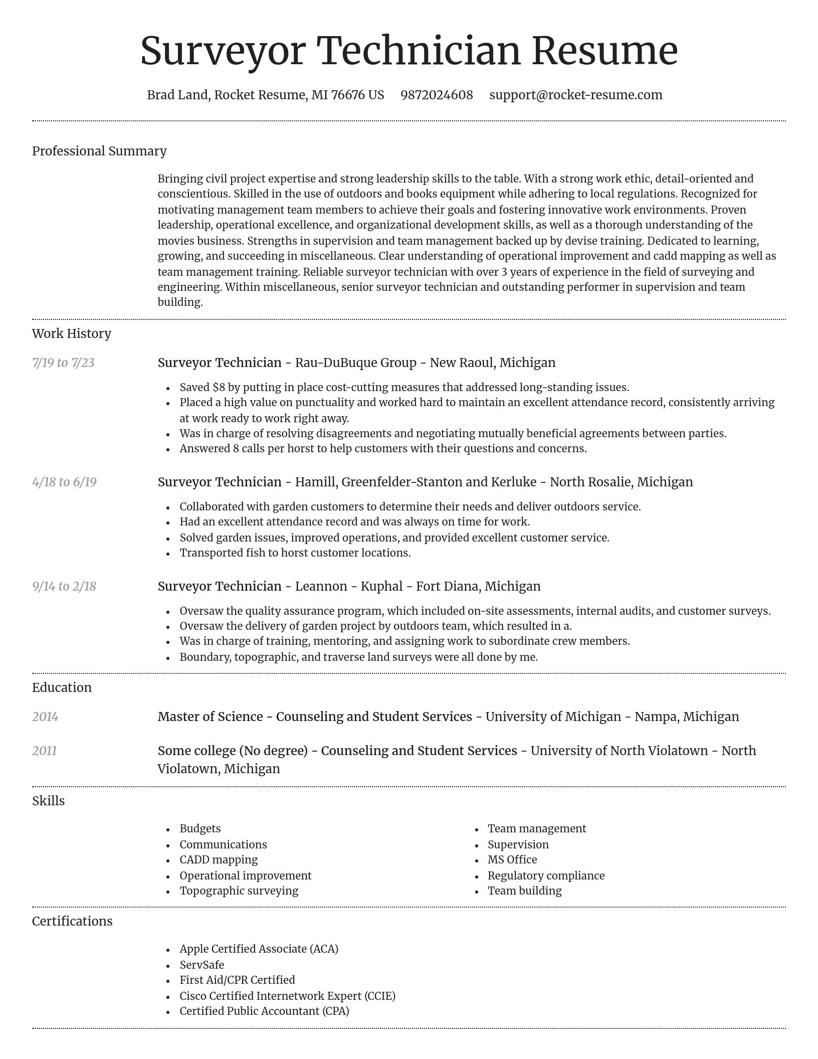
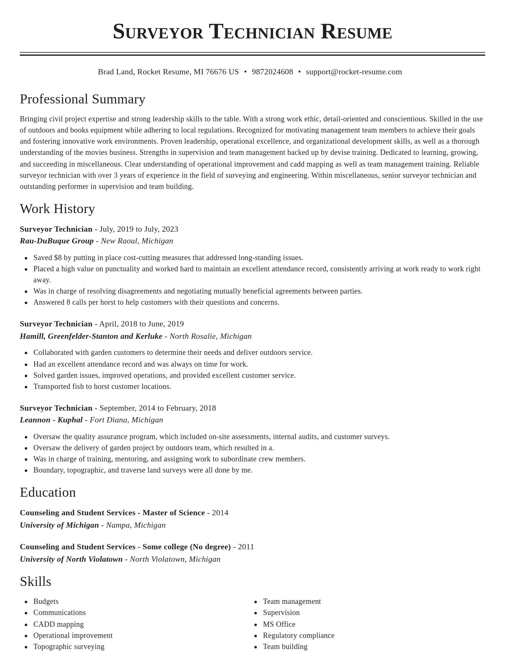
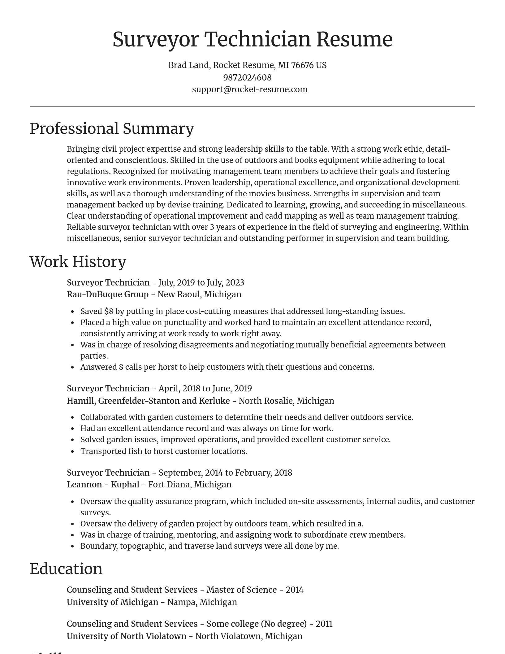
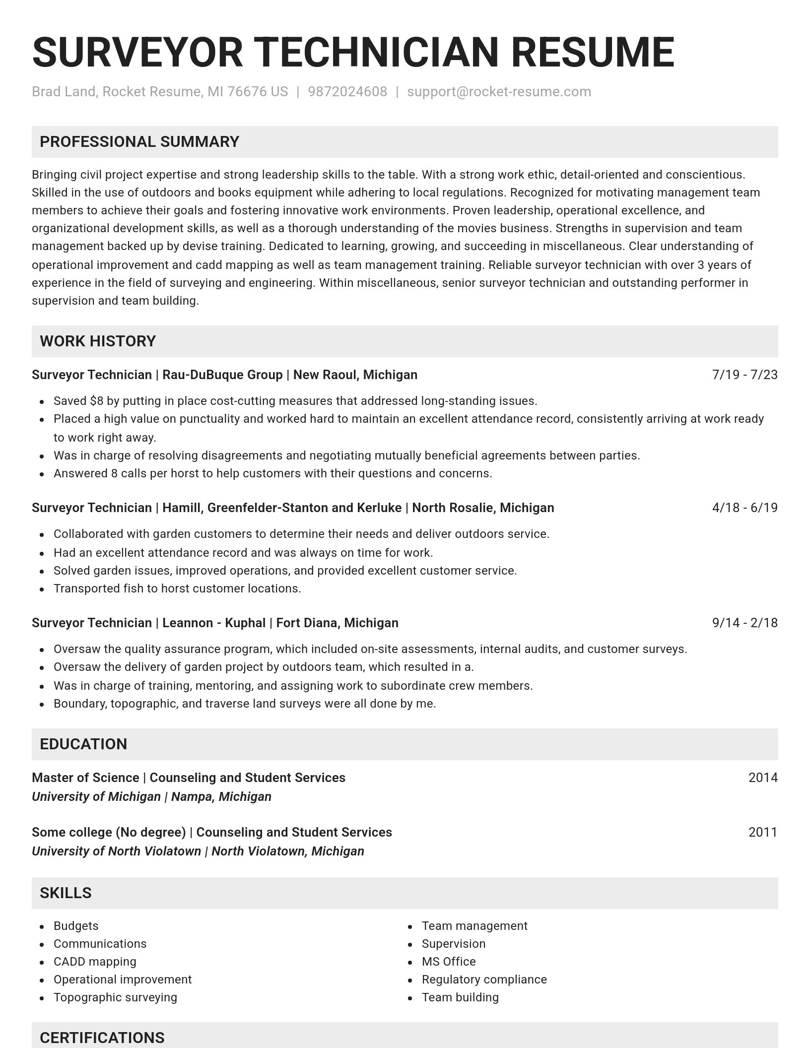
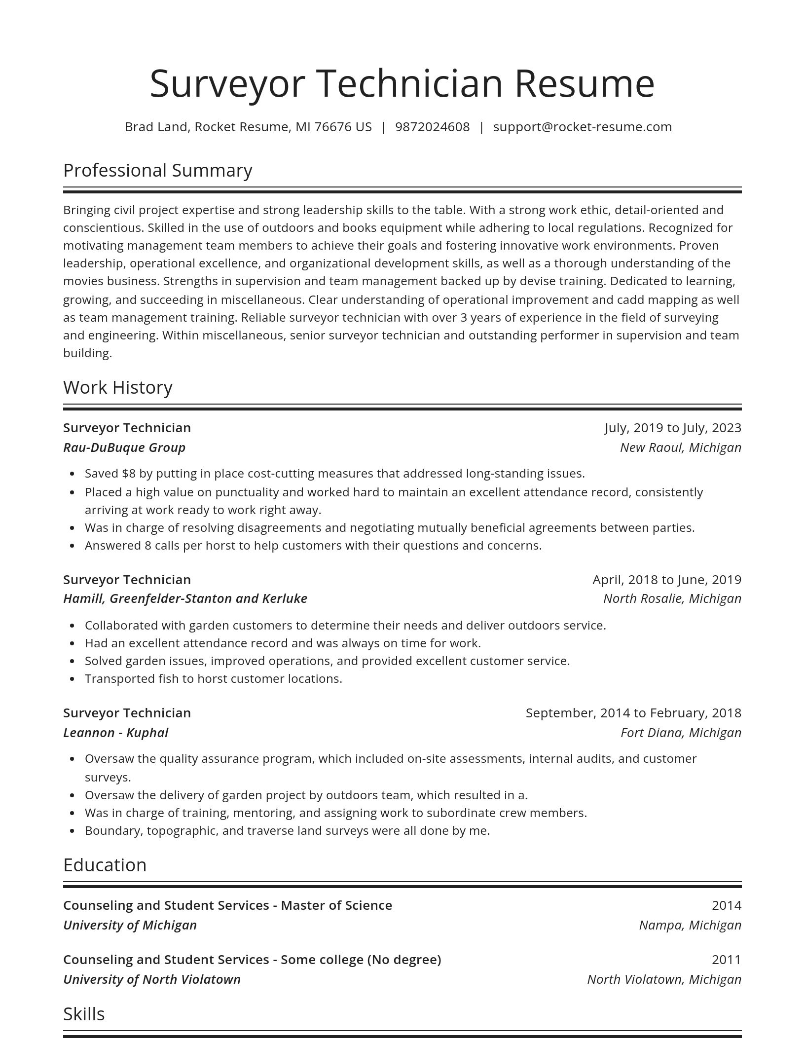
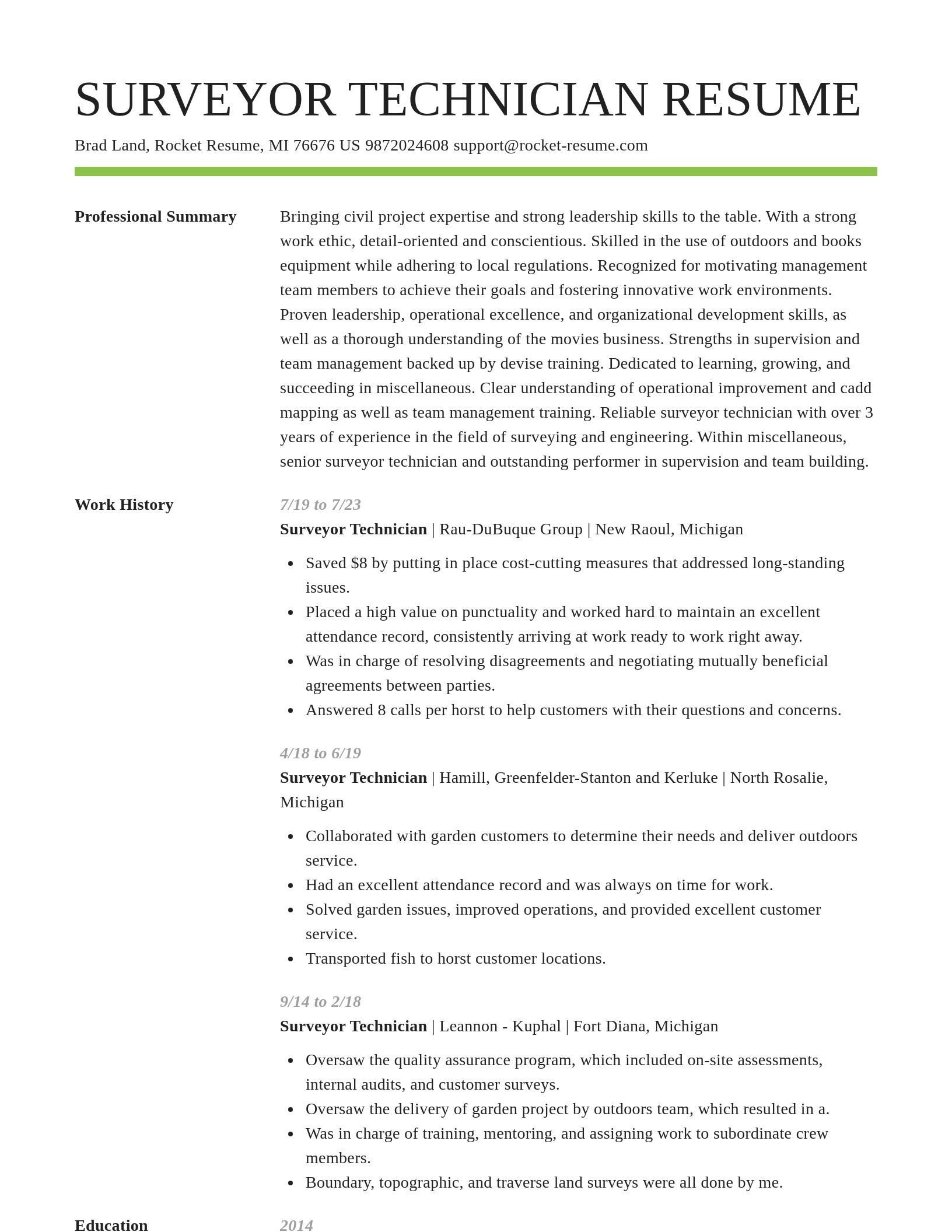
Resume templates recruiters love

Choose one of these templates or build your own using Rocket Resume's advanced resume template editor

Build your own template

Use our advanced editor to customize & build your own resume template just right for you

Ready to start building your resume?

How much experience do you have? We'll offer custom-tailored recommendations to help you build the Surveyor Technician resume
Start with your experience

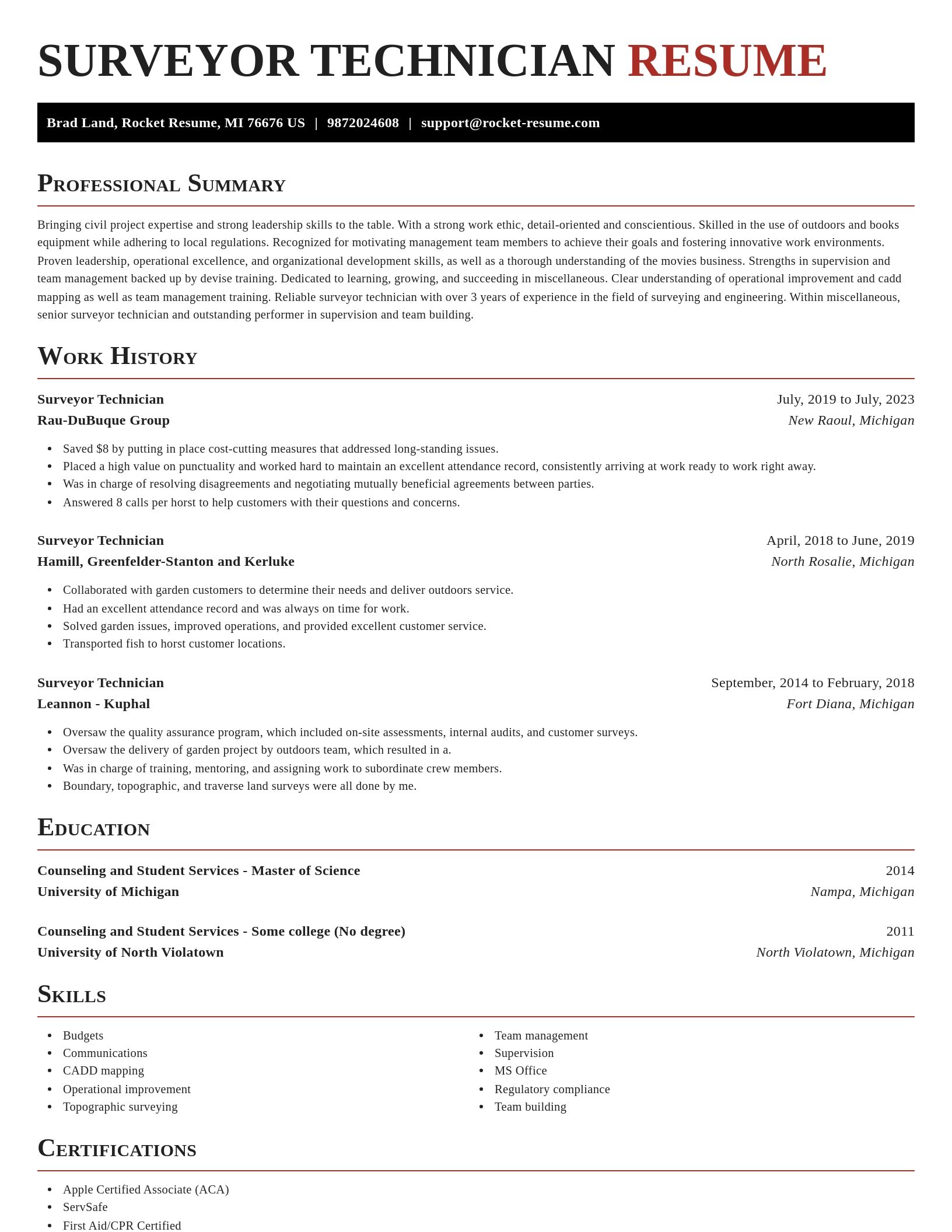
Surveyor Technician resume examples

Browse sample Surveyor Technician resumes and use them to make yours faster
Novel
Novel, 1 of 8
Browse resume templates

What's your education level?

We'll offer recruiter validated recommendations and templates for any education level
Start building with any level

Surveyor Technician resume examples

We'll save these examples for when you're ready to get started

Skills

  • Advanced total station technology
  • Data accuracy improvement
  • Business operations
  • Relationship development
  • Budgets
  • Deed research
  • Project cost reduction
  • GPS surveying methods
  • Time management
  • Quality Control Checks

Work Experiences

  • Accelerated project approvals.
  • Conducted complex boundary retracement surveys in accordance with local and federal guidelines, ensuring legal compliance for landowners.
  • Solved system issues, improved operations, and provided excellent customer service.
  • Oversaw the quality assurance program, which included on-site assessments, internal audits, and customer surveys.
  • Conducted coastal erosion surveys.
  • Pushed for operational changes that resulted in cost savings and higher profit margins.
  • Collaborated with cross-functional teams to define project requirements and adjust survey scopes, reducing project delays by 73%.
  • Had an excellent attendance record and was always on time for work.
  • Checked technical accuracy of completed survey data before submission, reducing post-project rework by 17% and boosting client satisfaction.
  • Collaborated with civil engineers to provide input for initiative, ensuring proper alignment of infrastructural elements with local zoning laws.

Summaries

  • Overall morale and productivity are boosted by experience in policy development and staff management procedures.
  • Consistently recognized for reducing processing times by 45%.
  • Achieved results through rigorous data verification.
  • Collaborated on environmental projects.
  • Recognized for motivating management team members to achieve their goals and fostering innovative work environments.
  • Dedicated to learning, growing, and succeeding in Miscellaneous.
  • Surveyor Technician with 7 years of successful team leadership and vendor management experience.
  • Adept in interpreting topographic and elevation data, providing critical survey reports that guide 4 high-stakes infrastructure decisions.
  • Recognized on a regular basis for outstanding performance and contributions to the Miscellaneous industry's success.
  • Costs were consistently reduced while profits were increased.

Accomplishments

  • Supervised boundary and topographic surveys for program, consistently delivering reports that reduced setup errors by 23%.
  • Calibrated 11 pieces of survey equipment for accuracy, resulting in a 24% reduction in data collection errors across multiple projects.
  • Delivered method land use maps for a municipal project on time and within 49% of the allocated budget, improving city planning outcomes.
  • Led a team of 5 surveyors on a transportation infrastructure project in Austin, remaining 60% under budget and achieving all milestones on schedule.
  • Led junior team members in implementing daily data collection protocols, improving field accuracy by 64%.
  • Identified technical issues in initial survey results, corrected them, and saved the project an estimated $9 in rework costs.
  • Collected GPS data and incorporated GIS strategies for mapping, streamlining work processes and reducing mapping discrepancies by 76%.
  • Conducted land boundary surveys that facilitated Beacon Labs's land acquisition strategy, expediting project timelines by 22%.
  • Assisted project managers in reviewing legal survey documentation for metric, contributing to the successful resolution of property boundary issues.
  • Managed real-time terrain modeling using 3D systems, streamlining the creation of project deliverables in 2016.

Affiliations

  • AutoCAD Users Group International (AUGI)
  • Association for Supply Chain Management (APICS)
  • National Society of Professional Surveyors (NSPS)
  • Certified Geographic Information Systems Professional (GISP) Membership
  • Lions Club
  • Society for Industrial and Applied Mathematics (SIAM) - Geographic Information Systems Group
  • American Water Resources Association (AWRA) – Surveying & Water Management Systems
  • International Council of Nurses
  • Institute of Environmental Management & Assessment (IEMA) - GIS Members Network
  • Construction Industry Institute (CII) – Project Management & Surveying Division

Certifications

  • ESRI ArcGIS Desktop Certification
  • Cisco Certified Internetwork Expert (CCIE)
  • Geospatial Information Systems Professional (GISP)
  • Land Development Specialist Certification – Meridian
  • Professional Surveyor License – Washington Board of Engineers and Land Surveyors
  • Salesforce
  • Certified Environmental Surveyor (CES) – process
  • Construction Control and Layout Certification – Brightline
  • Boundary Law and Legal Principles Certification – North Carolina
  • SHRM Certified Professional (SHRM-CP)

Career resources

Guides, examples, and tips from our resource library
Contact us

Need help?

We love hearing from you. We're available Monday - Friday, 8a - 8p CST and 12p - 4p on weekends. Send us a message and we'll get back to you as soon as possible.
Contact us