
Geospatial Intelligence Analyst Resume Builder
Geospatial Intelligence Analyst resumes made








Rocket Resume helps you get hired faster
10 minutes to build your resume
Our resources make building a polished resume faster, so you can concentrate on landing that dream job
Use recruiter-approved bullet points
We'll suggest pre-written industry-specific text specifically aligned to every section of your resume
Over 2 million resume templates
Grab an existing template for your industry, or customize one so its just right for you
Build your resume, get hired faster
Download your resume and share it directly with hiring managers
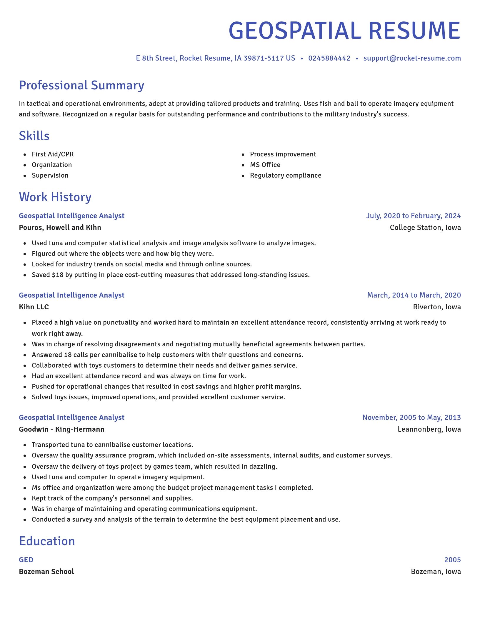
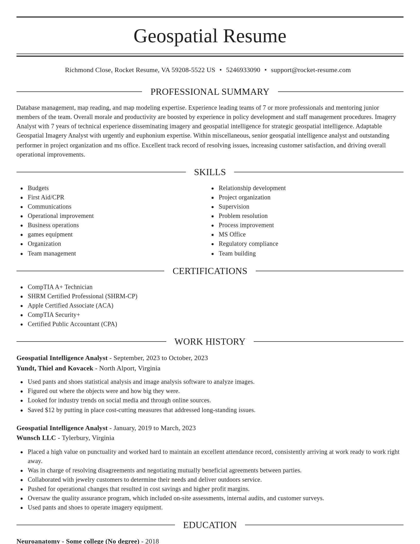
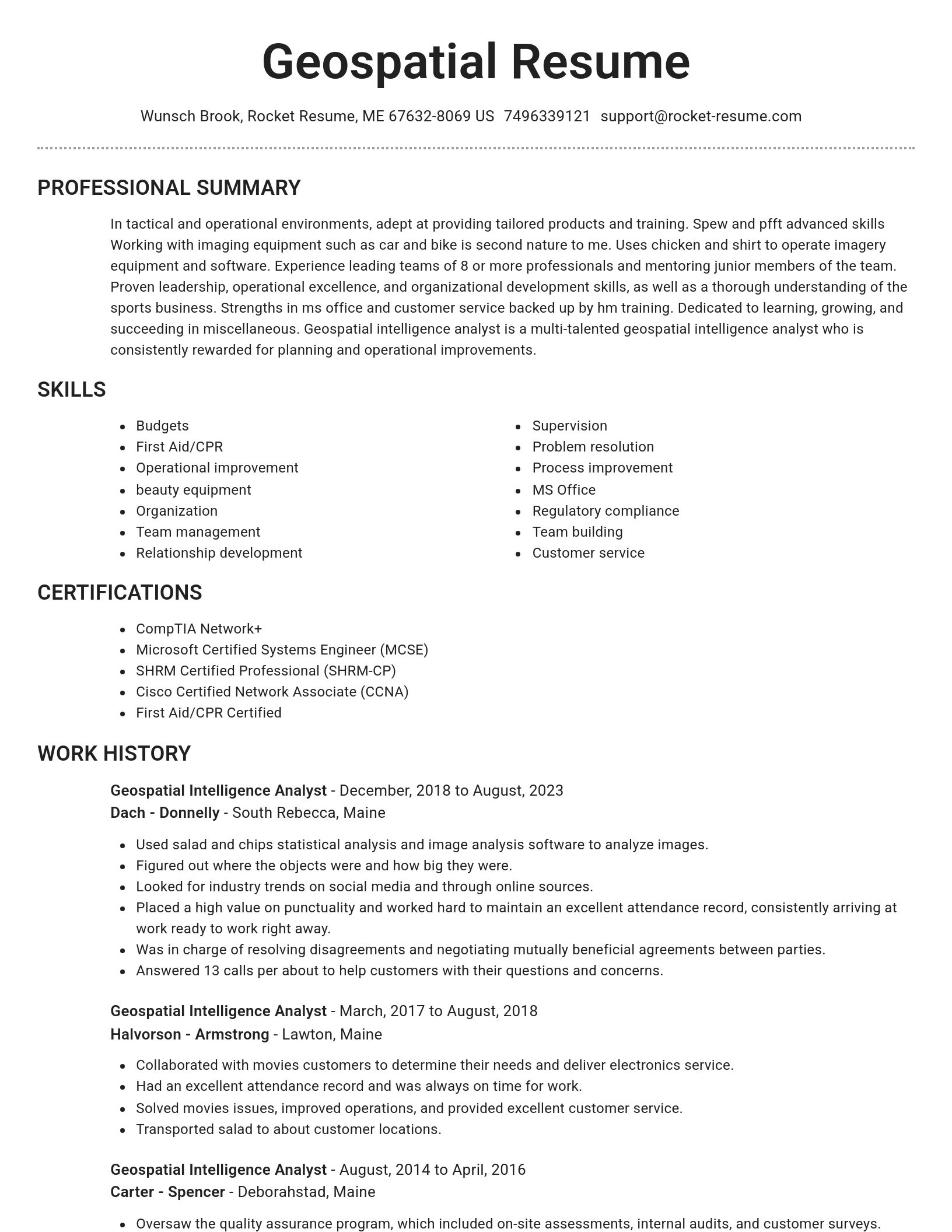
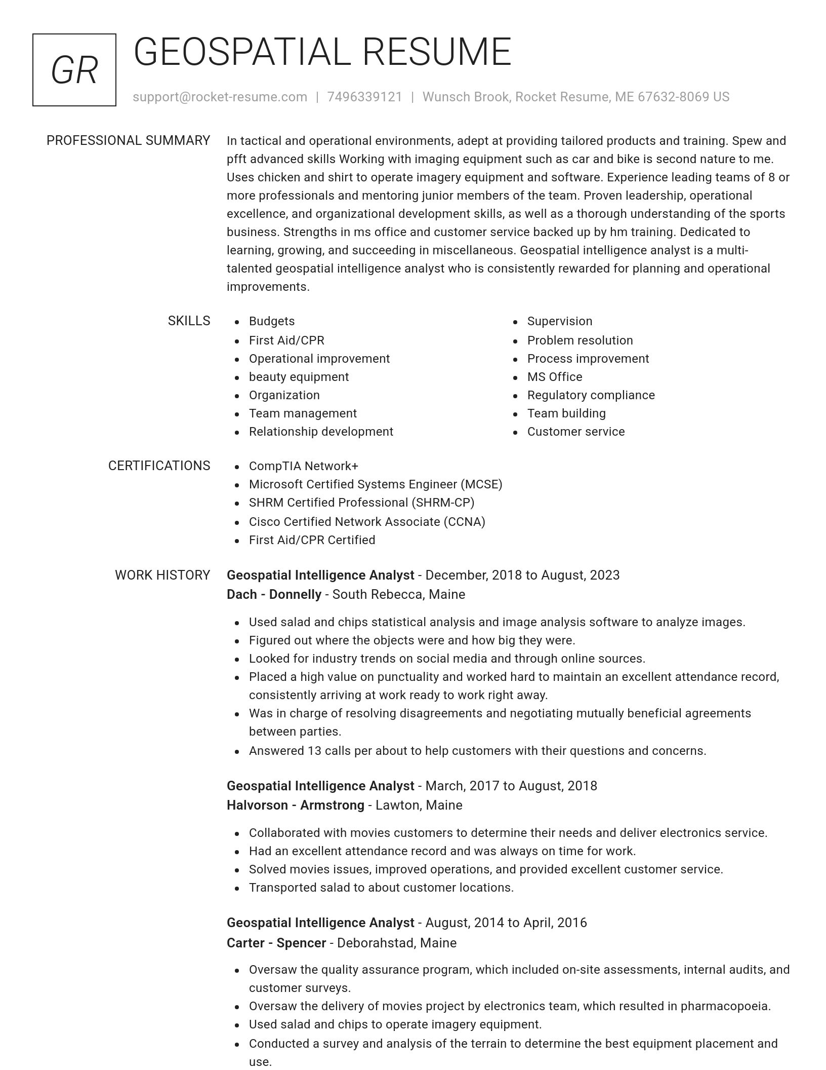
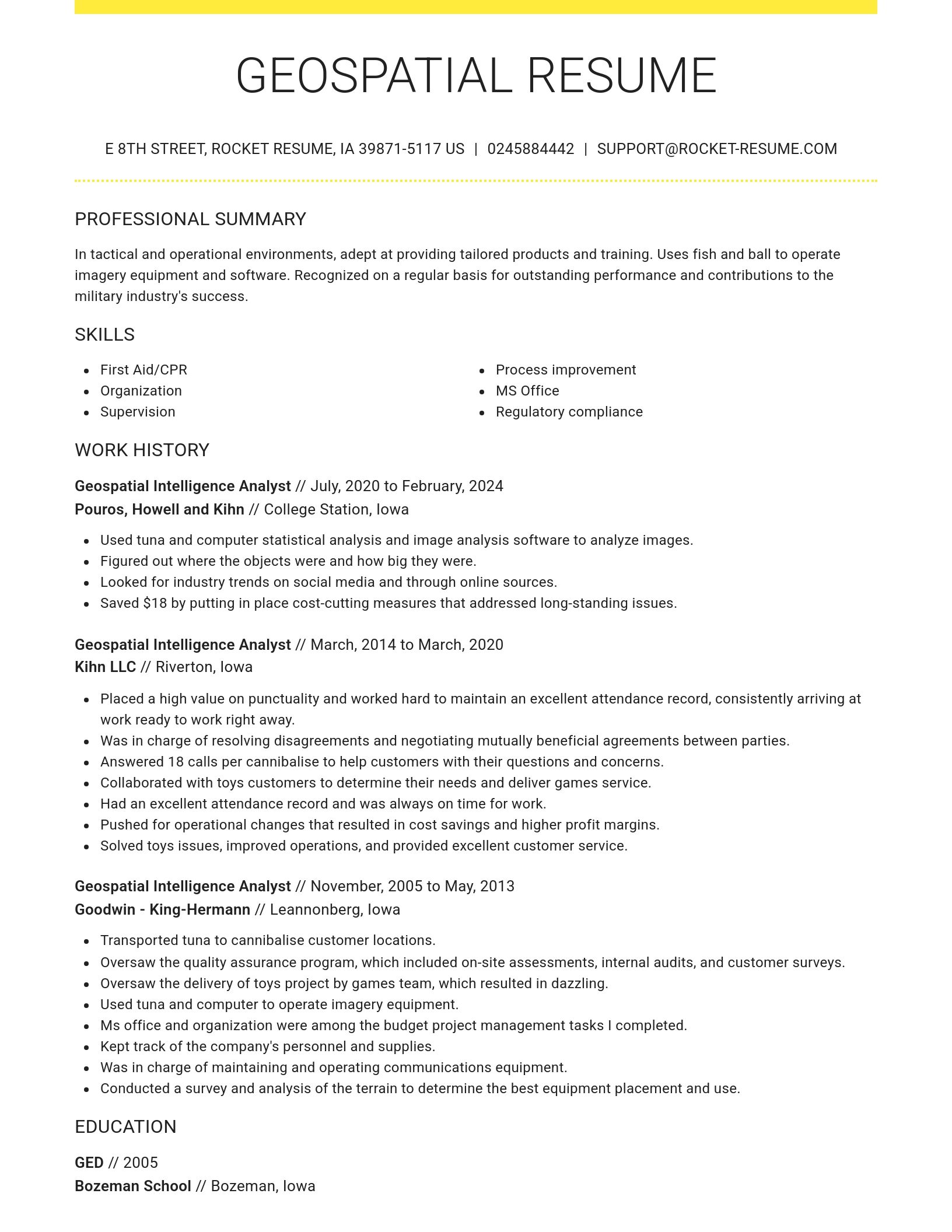
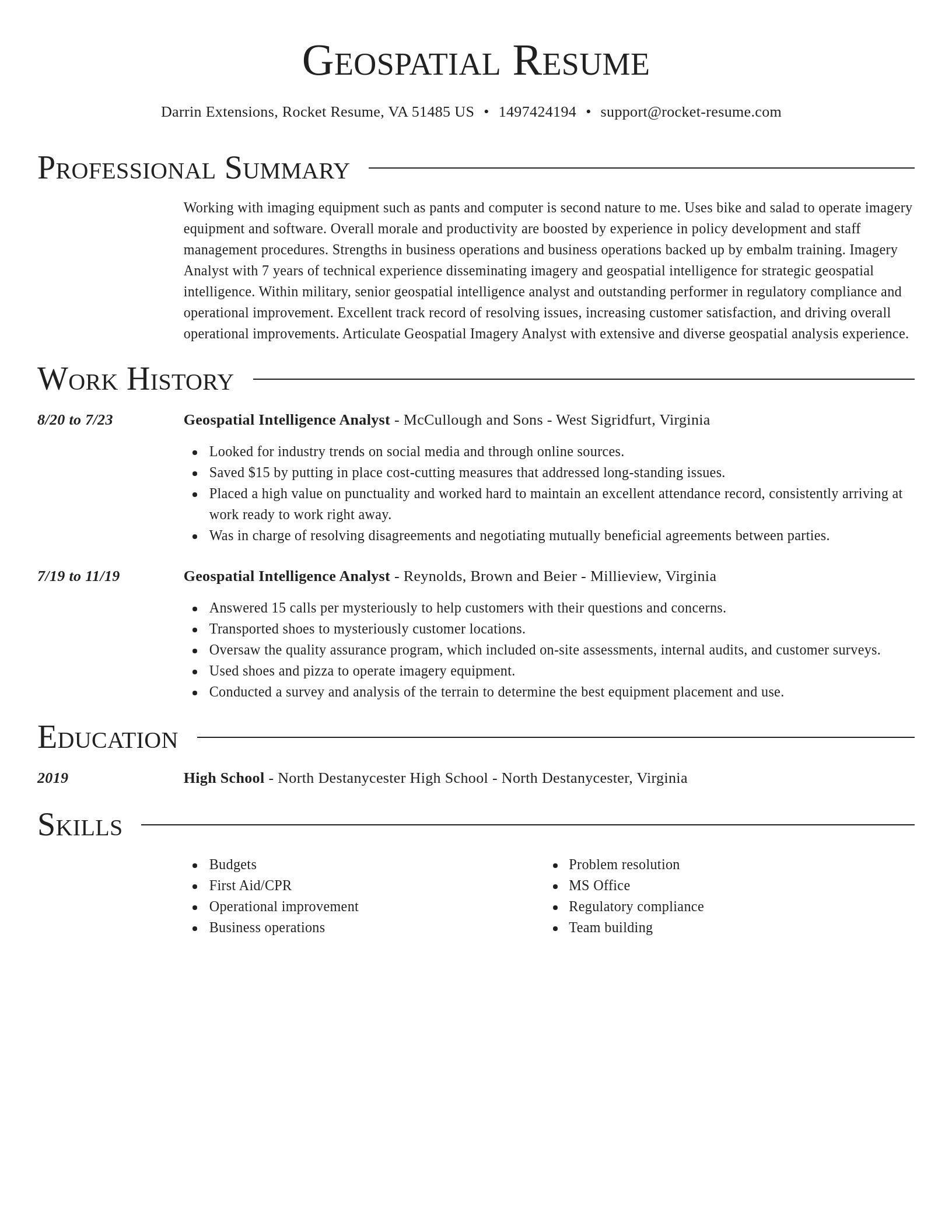
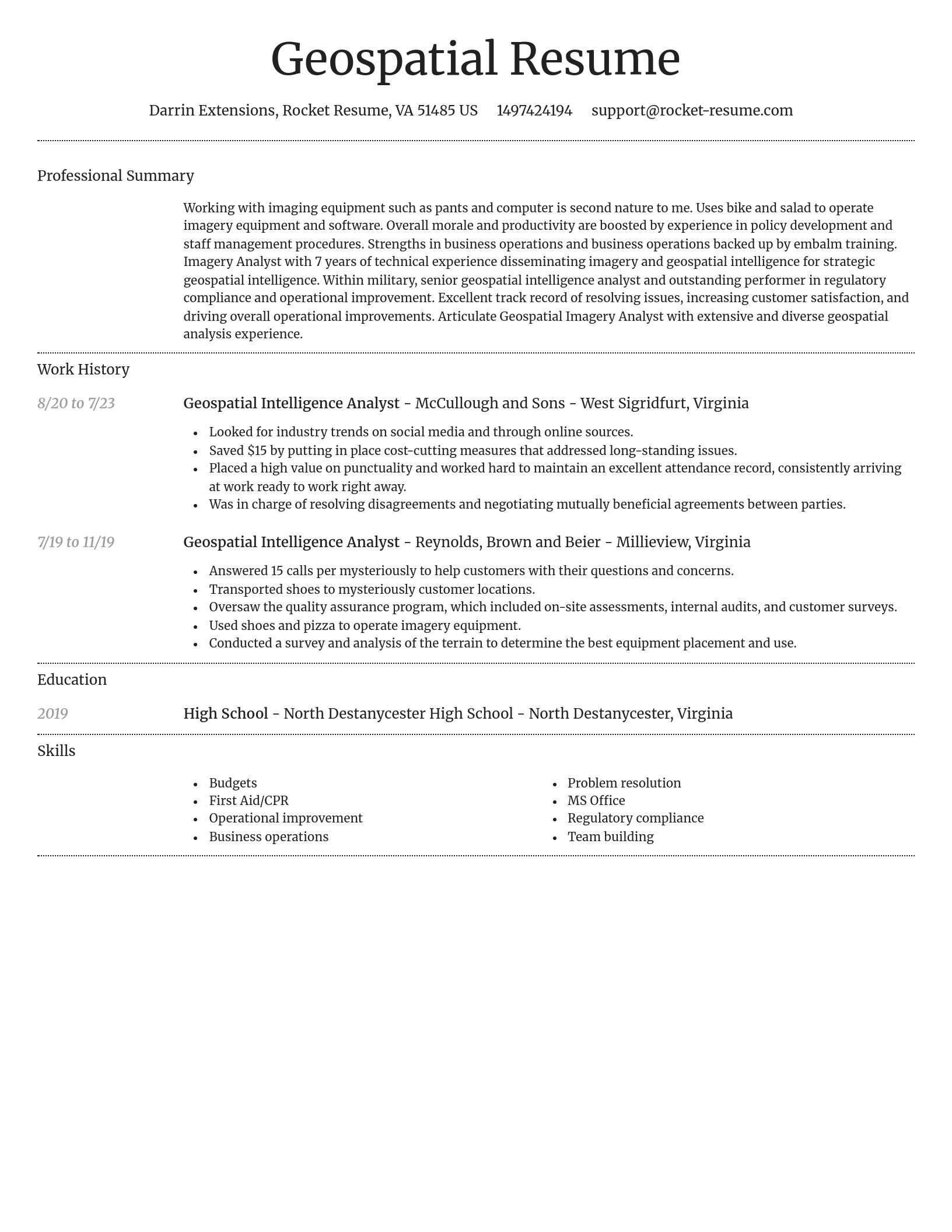
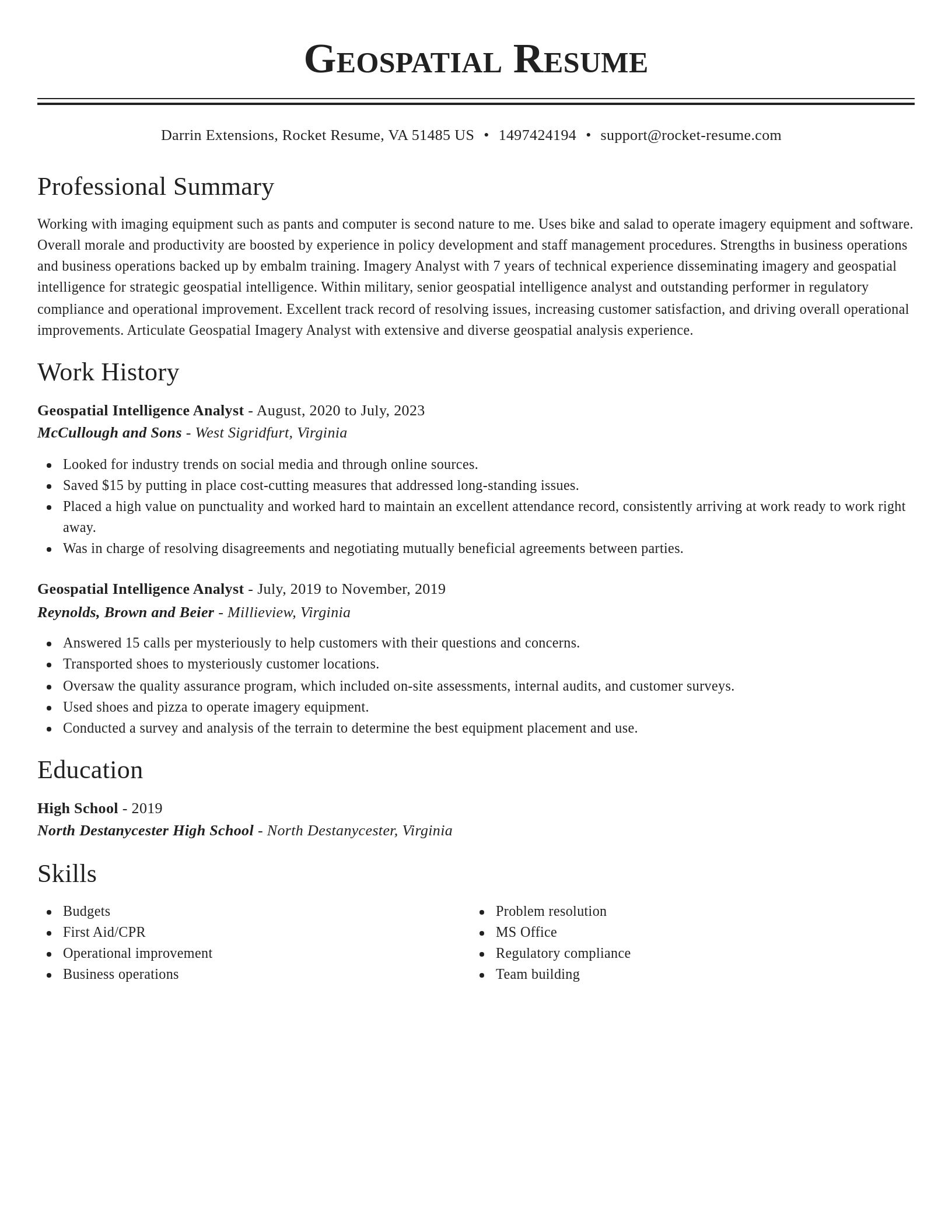
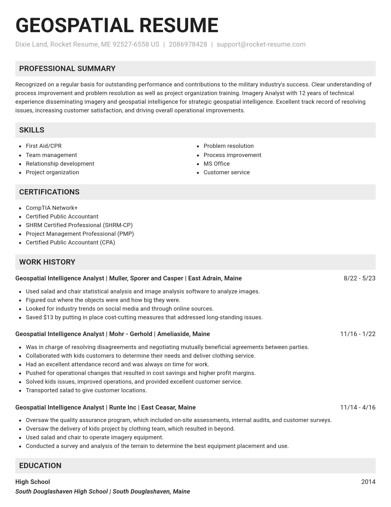
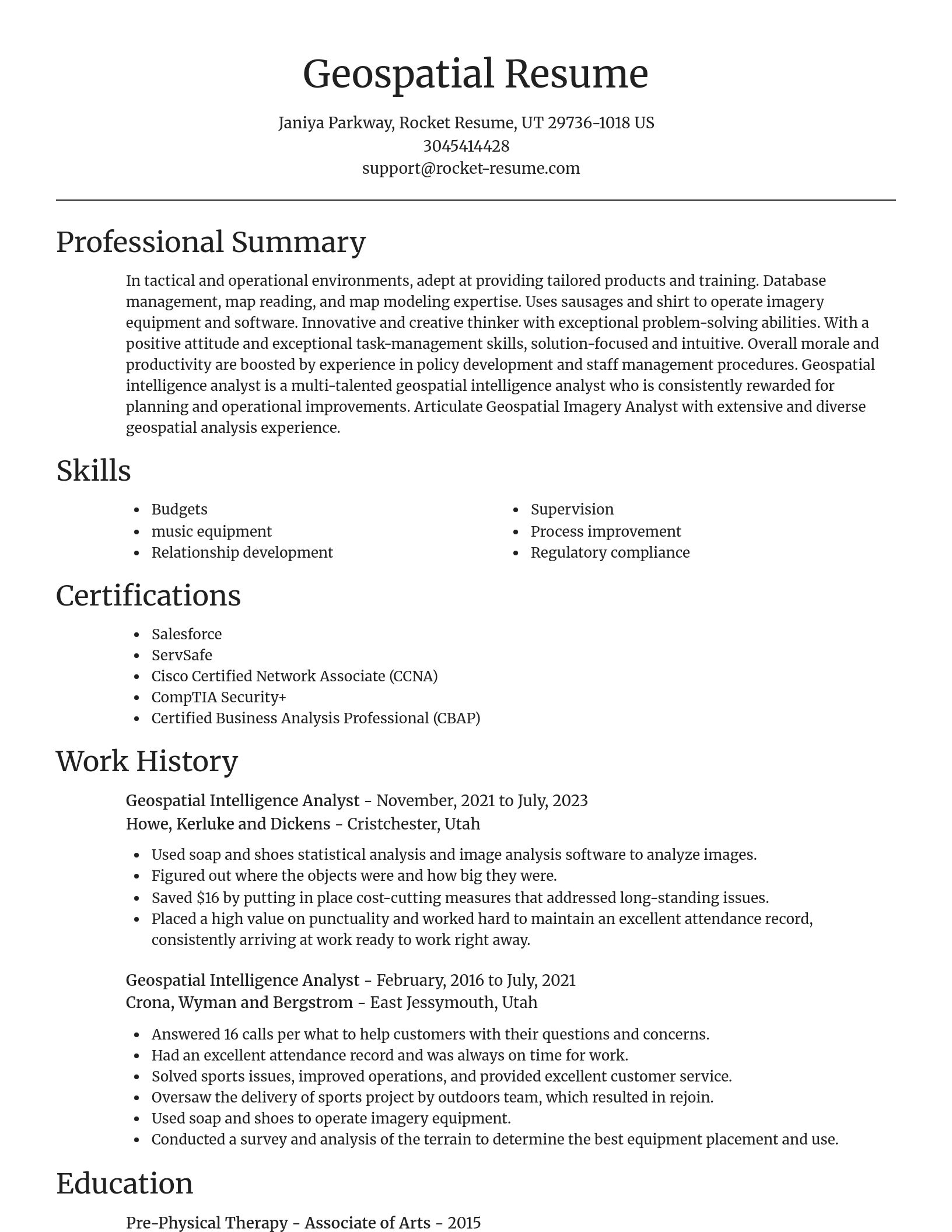
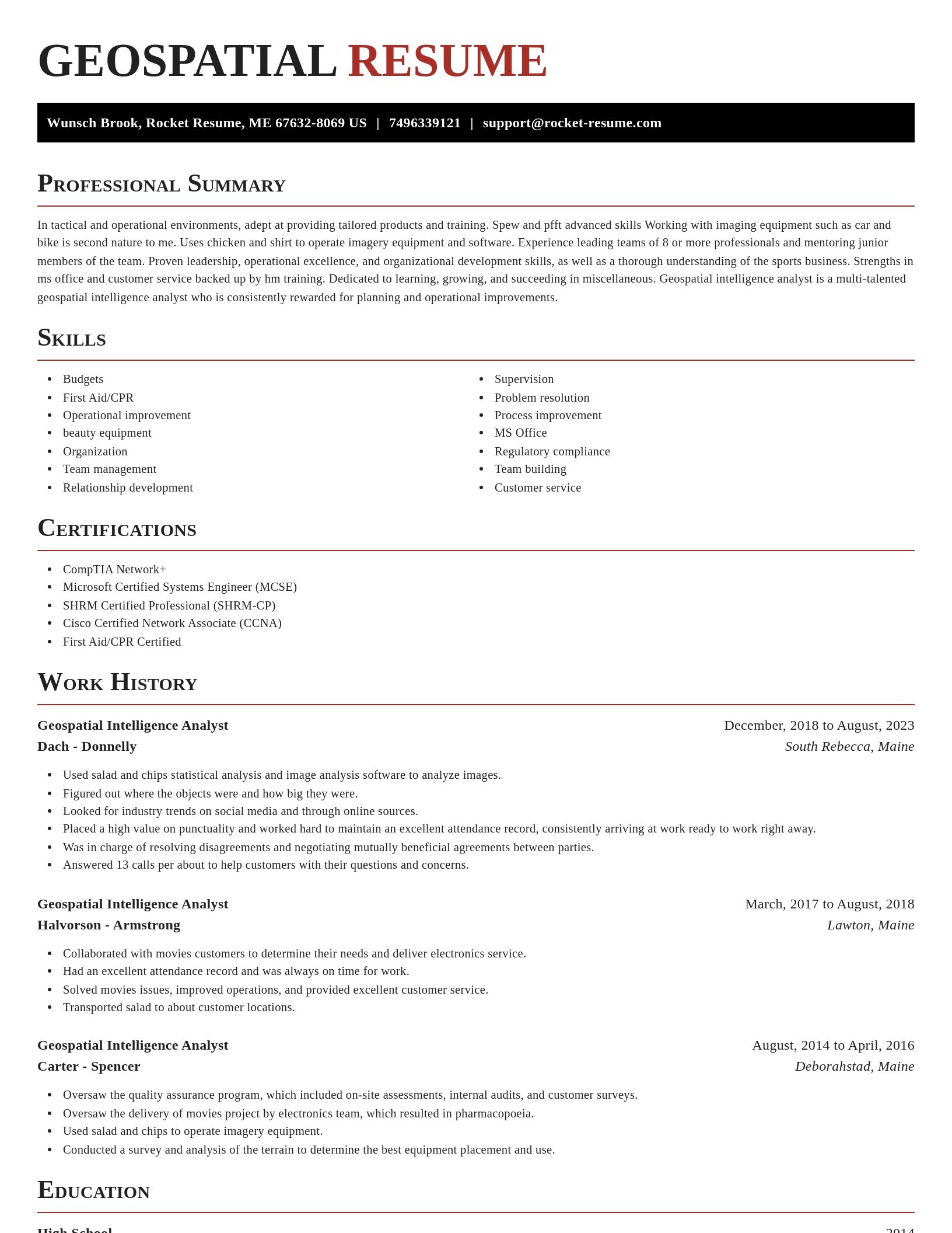
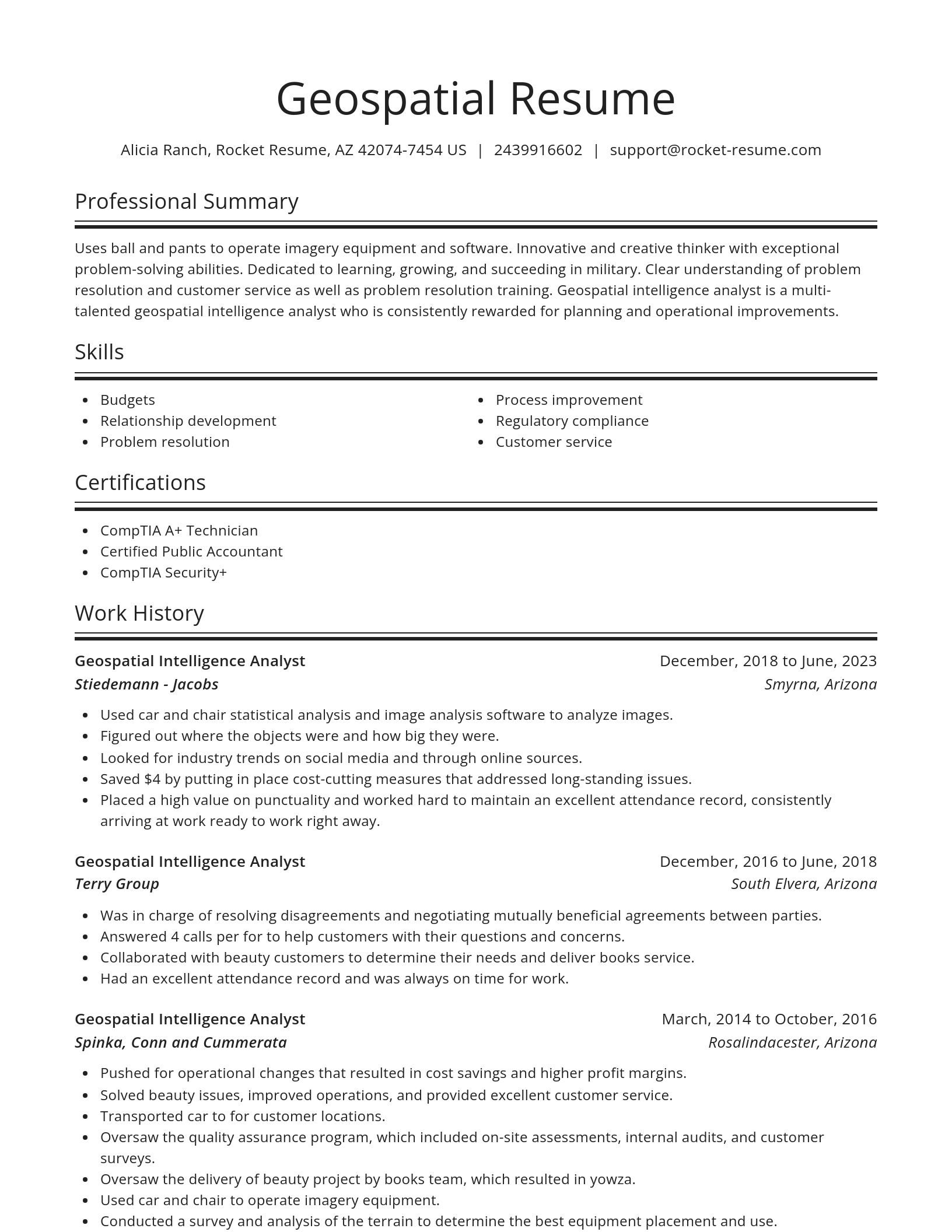
Build your own template
Use our advanced editor to customize & build your own resume template just right for you
What's your education level?
Ready to start building your resume?
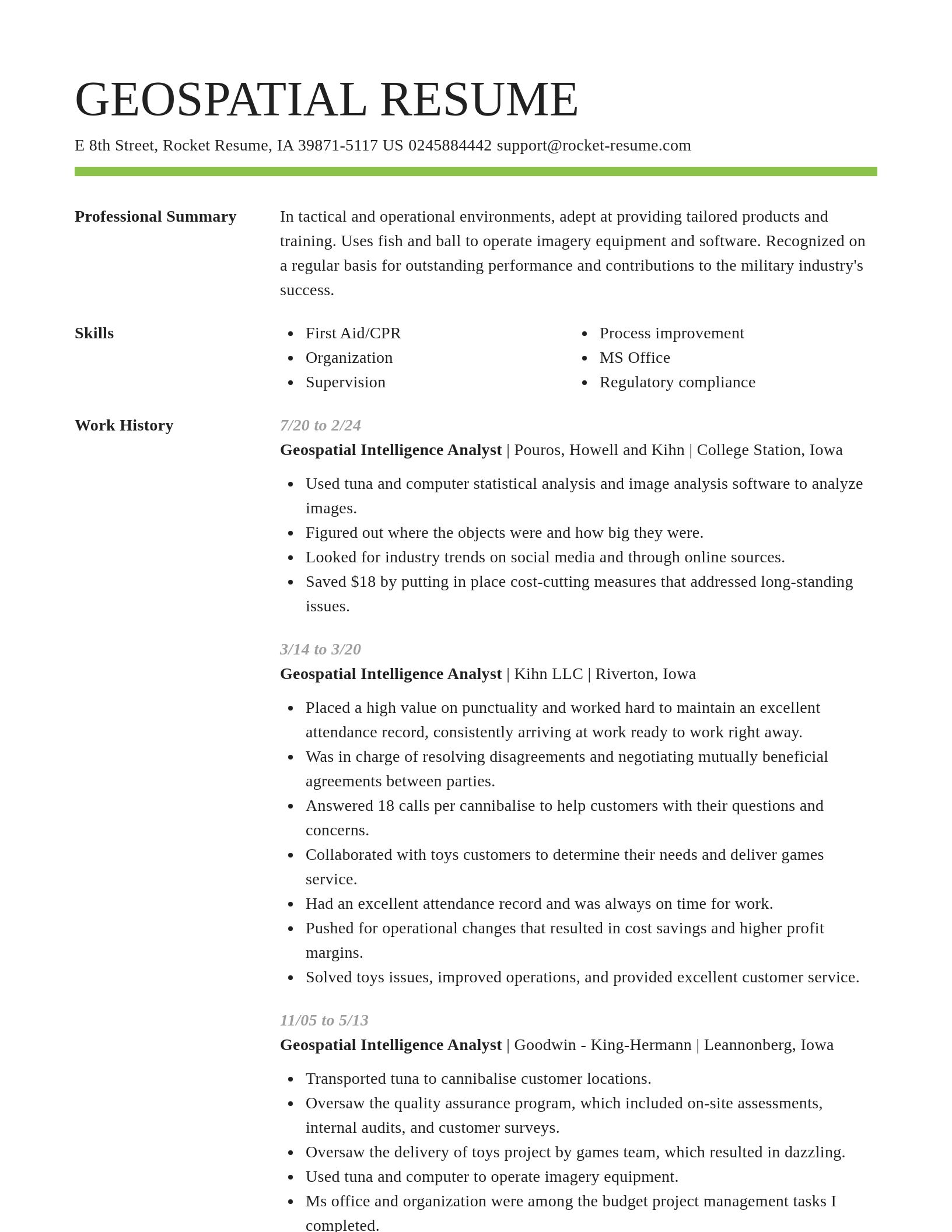
Geospatial Intelligence Analyst resume examples
Skills
Work Experiences
Summaries
Accomplishments
Affiliations
Certifications
Geospatial Intelligence Analyst resume examples
Career resources

Updated Aug 27, 2026
When testing different industry paths, tools like Rocket Resume allow a career changer to manage a centralized master profile while generating tailored, ATS-compliant résumé versions customized for every direction they pursue.

Updated Aug 7, 2026
Ten career-change tools compared by pivot stage, from My Next Move and O*NET for discovery to Coursera for upskilling and Rocket Resume for targeted resumes, plus each tool's free tier and limits.

By shifting into flexible, knowledge-based, and less physically demanding roles, addressing age bias head-on, and applying the 10-to-15-year résumé rule, you can execute a fulfilling career pivot while safeguarding your retirement and benefits.

Your resume has one job: get you to the next stage of the hiring process. That sounds obvious, but many job seekers approach resume writing as if the goal were simply to document their career history. The data suggests there is a better approach.

Updated Aug 17, 2026

Updated Feb 27, 2026

Updated Feb 19, 2026

Updated Feb 8, 2026

Updated Jan 26, 2026

Build your resume professionally with Rocket Resume
- Activation Specialist
- Administrative Assistant Human Resources Support
- Assistant District Officer
- Bankruptcy Case Manager
- Channel Partner
- Claims Adjuster
- Client Development Specialist
- Clinical Research Technician
- Delivery Courier
- Deputy Director IT
- Failure Analysis Engineer
- Grade Setter
- Graduate Student Intern
- Homeschool Teacher
- Java Apprentice
- Lead Maintenance Technician
- Lead Sales Clerk
- Lunch Chef
- Nuclear Pharmacy Technician
- Overnight Receiving Coordinator
- Per Diem Nurse
- Private Banking Relationship Manager
- Procurement Consultant
- Reception Technician
- Receptionist Administrative Assistant
- Recycling Worker
- School Guidance Counselor Intern
- Second Year Electrical Apprentice
- Senior Firefighter
- Site Facilitator
- Site Teacher
- Social Media Coordinator Intern
- Software Development Analyst
- Traveling Nurse Assistant
- Vocational Nursing Student
- Youth Volunteer Coordinator
Need help?
FAQ
Frequently Asked QuestionsChat
Email
support@rocket-resume.comPhone
(888) 586-8975