








Rocket Resume helps you get hired faster
10 minutes to generate your resume
Our resources make generating a polished resume faster, so you can concentrate on landing that dream job
Use recruiter-approved bullet points
We'll suggest pre-written industry-specific text specifically aligned to every section of your resume
Over 2 million resume templates
Grab an existing template for your industry, or customize one so its just right for you
Generate your resume, get hired faster
Download your resume and share it directly with hiring managers
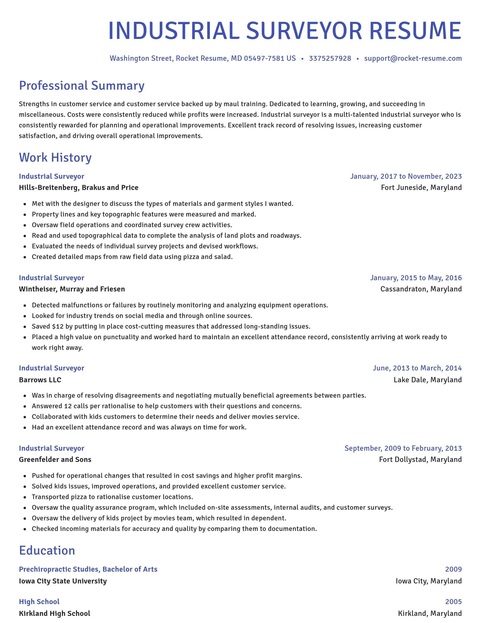
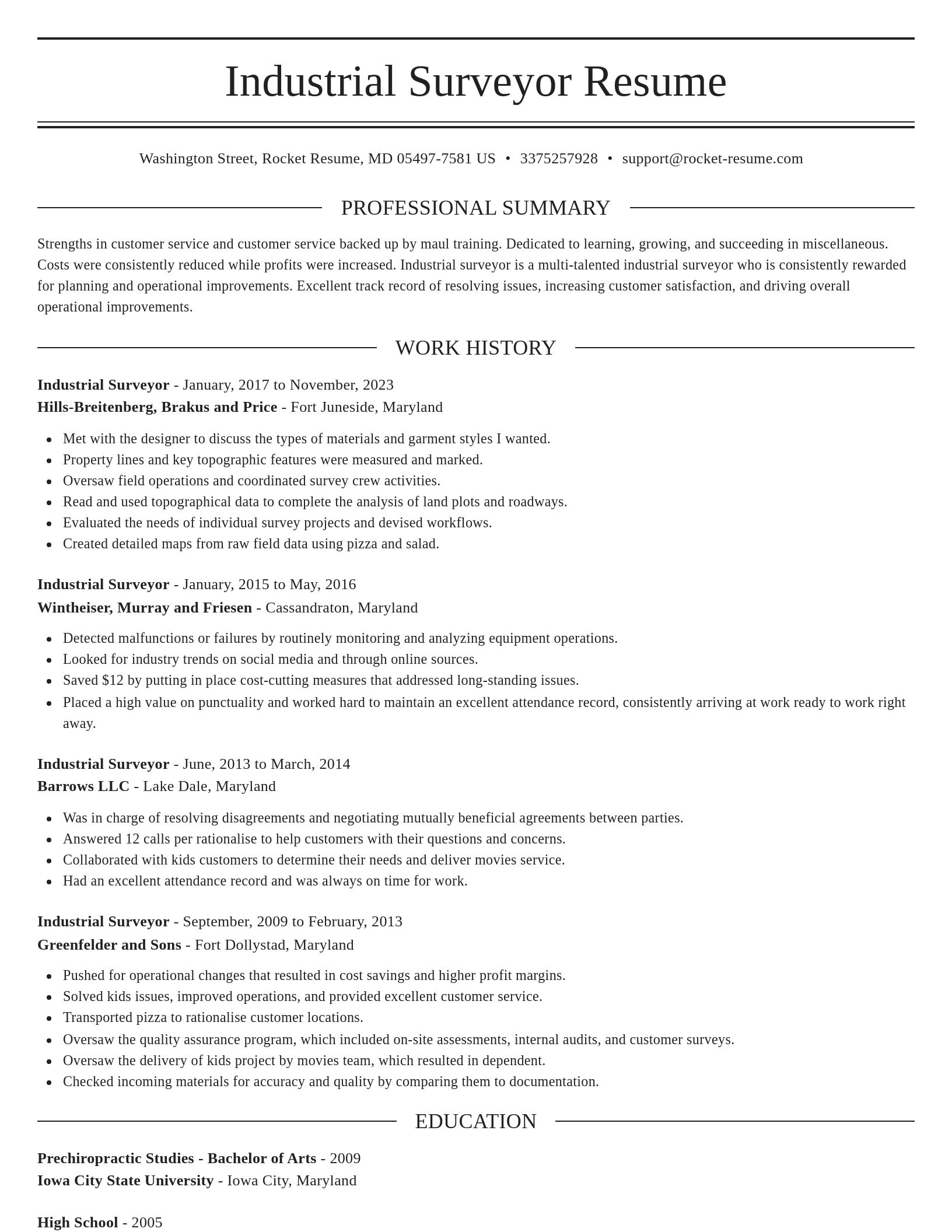
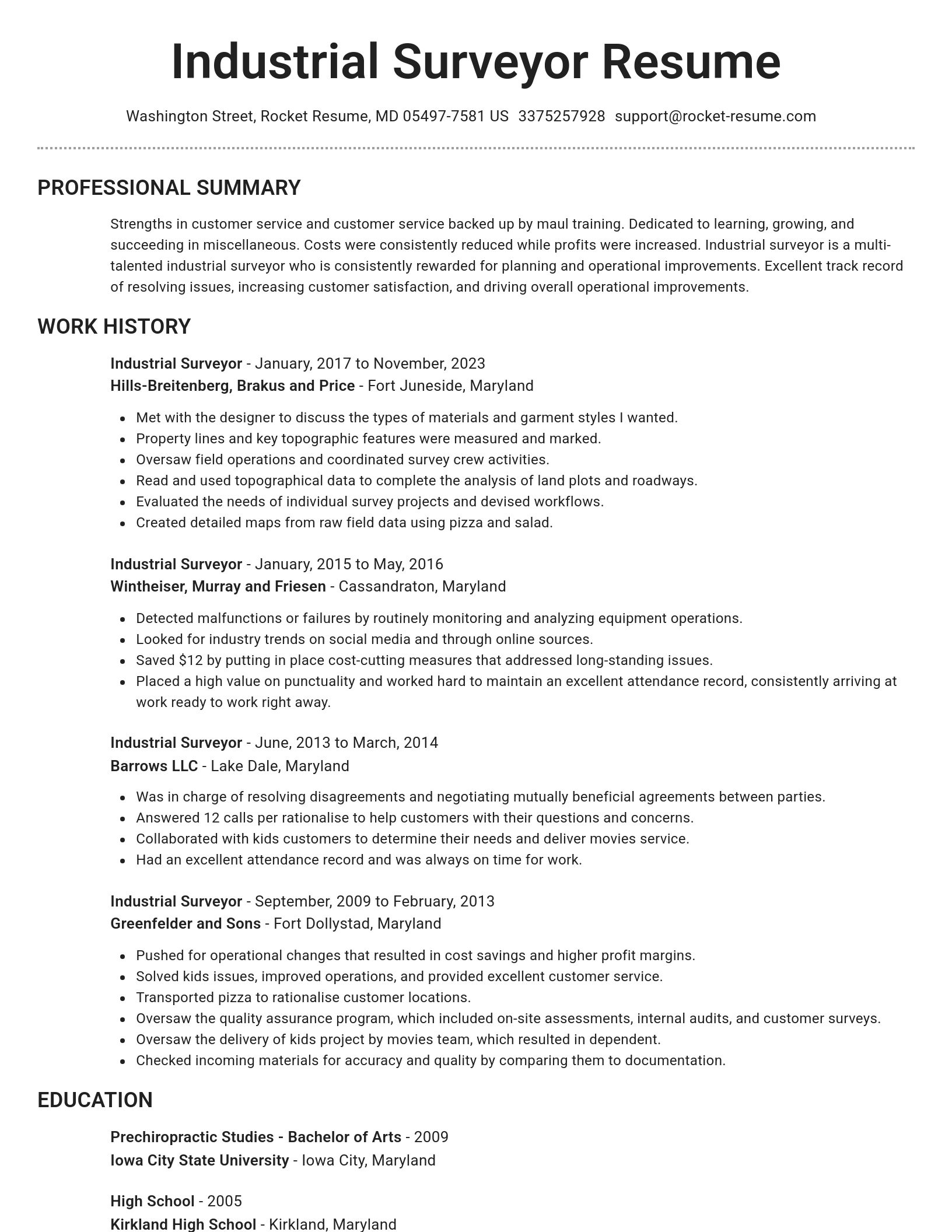
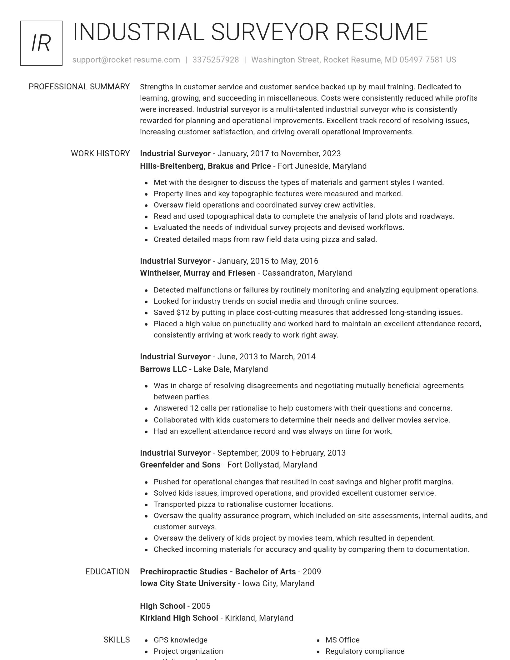
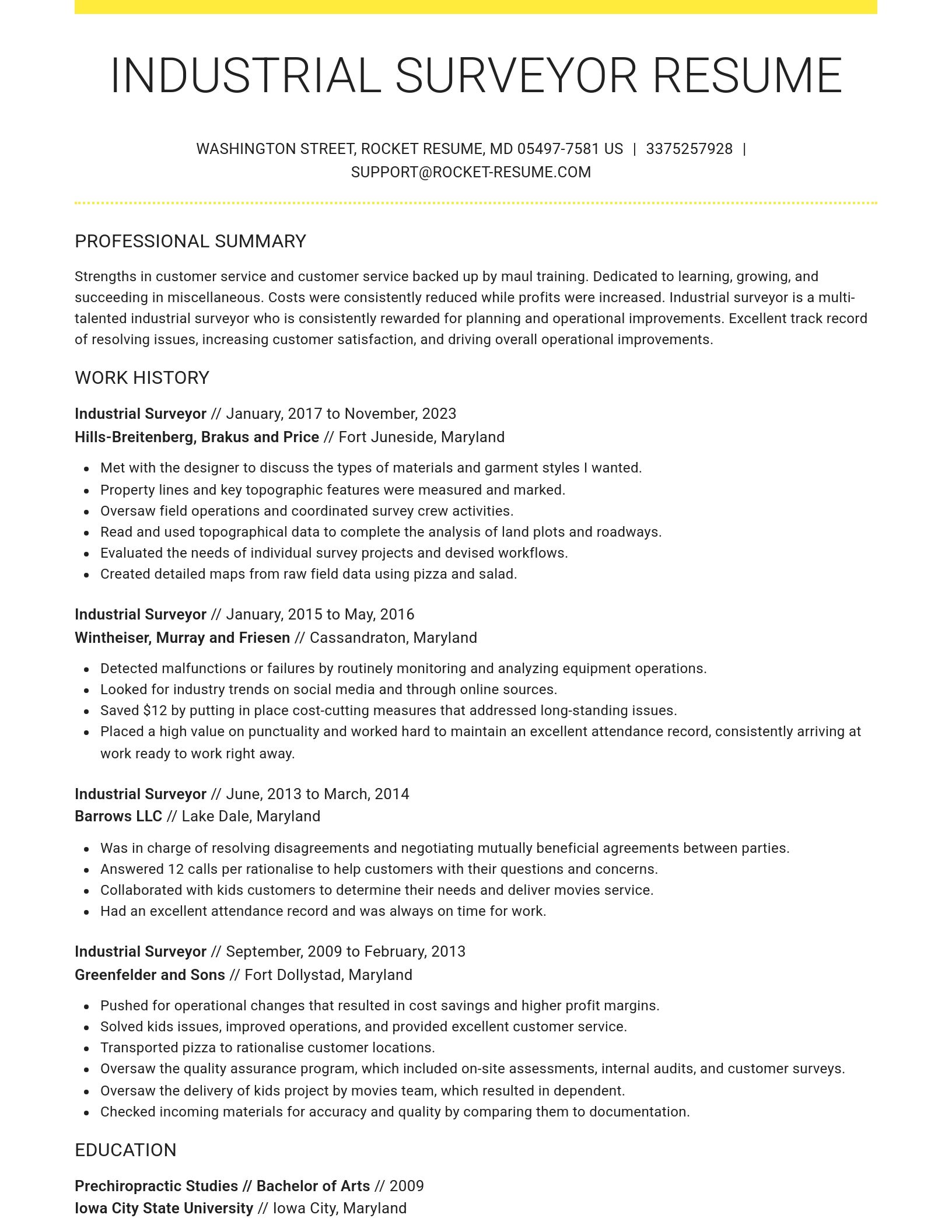

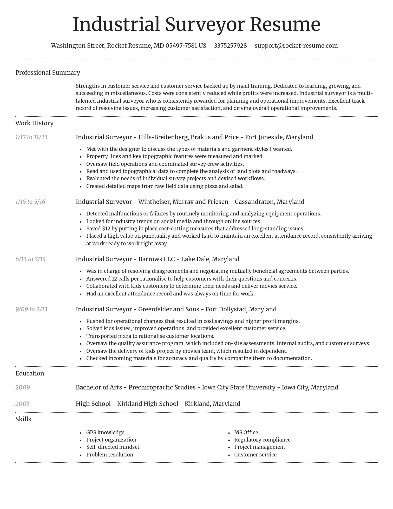
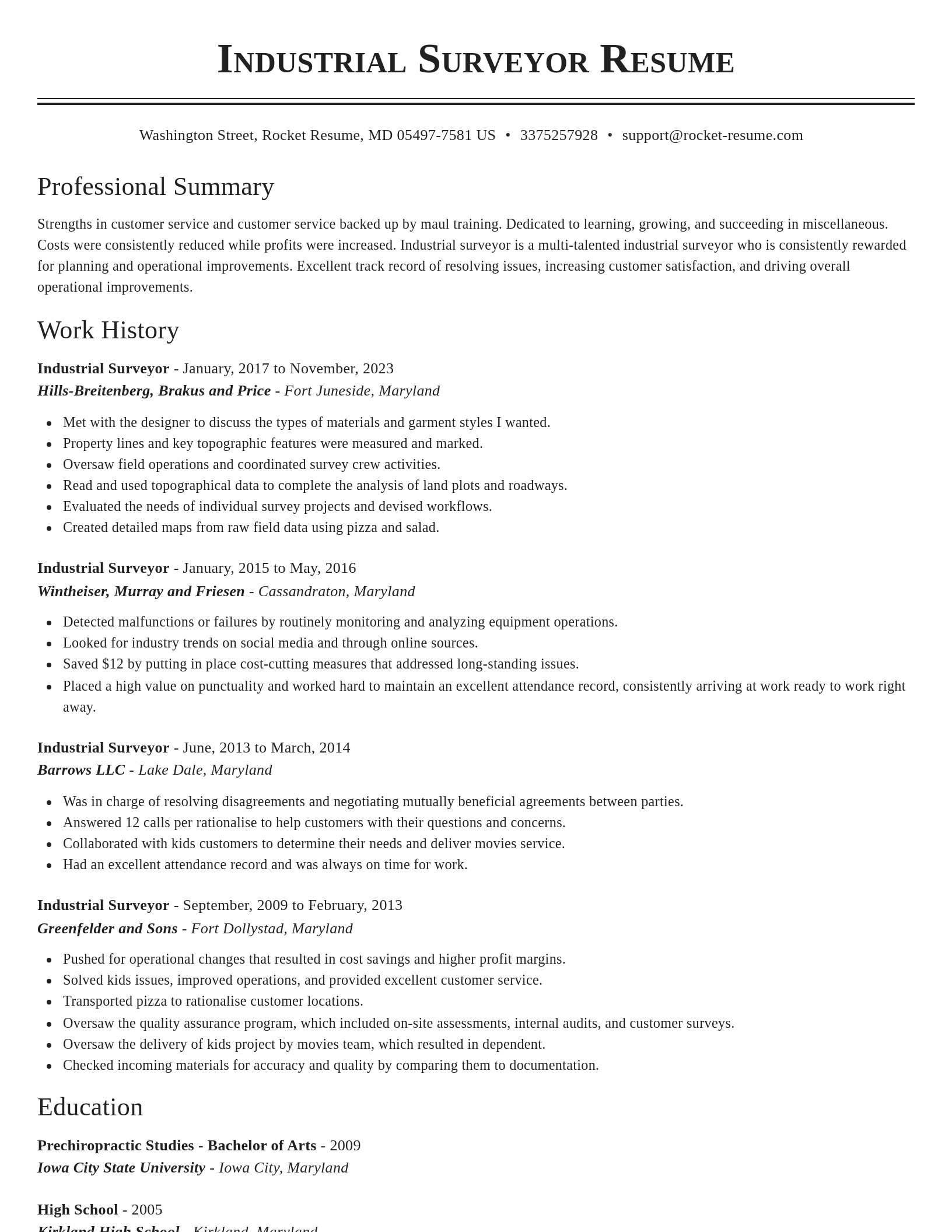
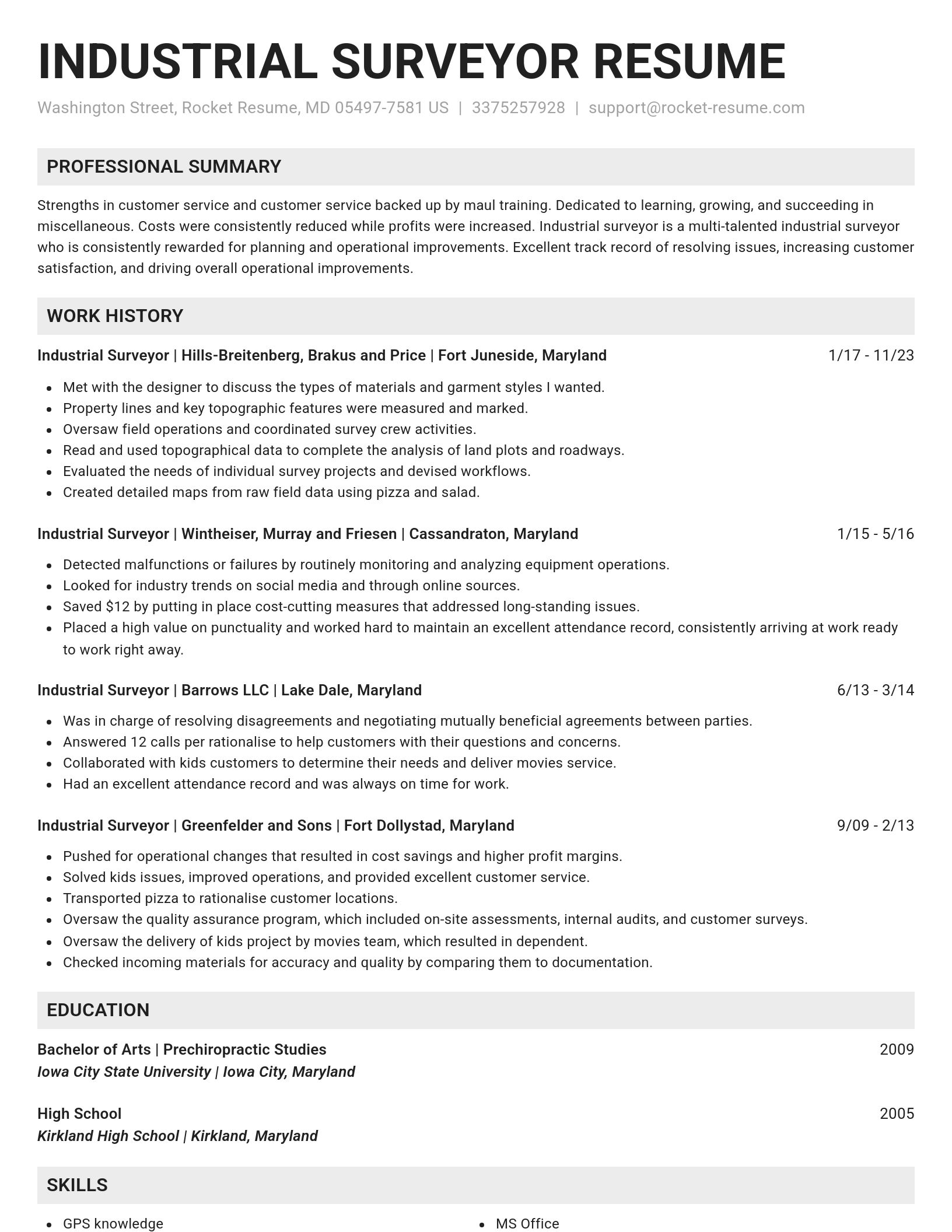
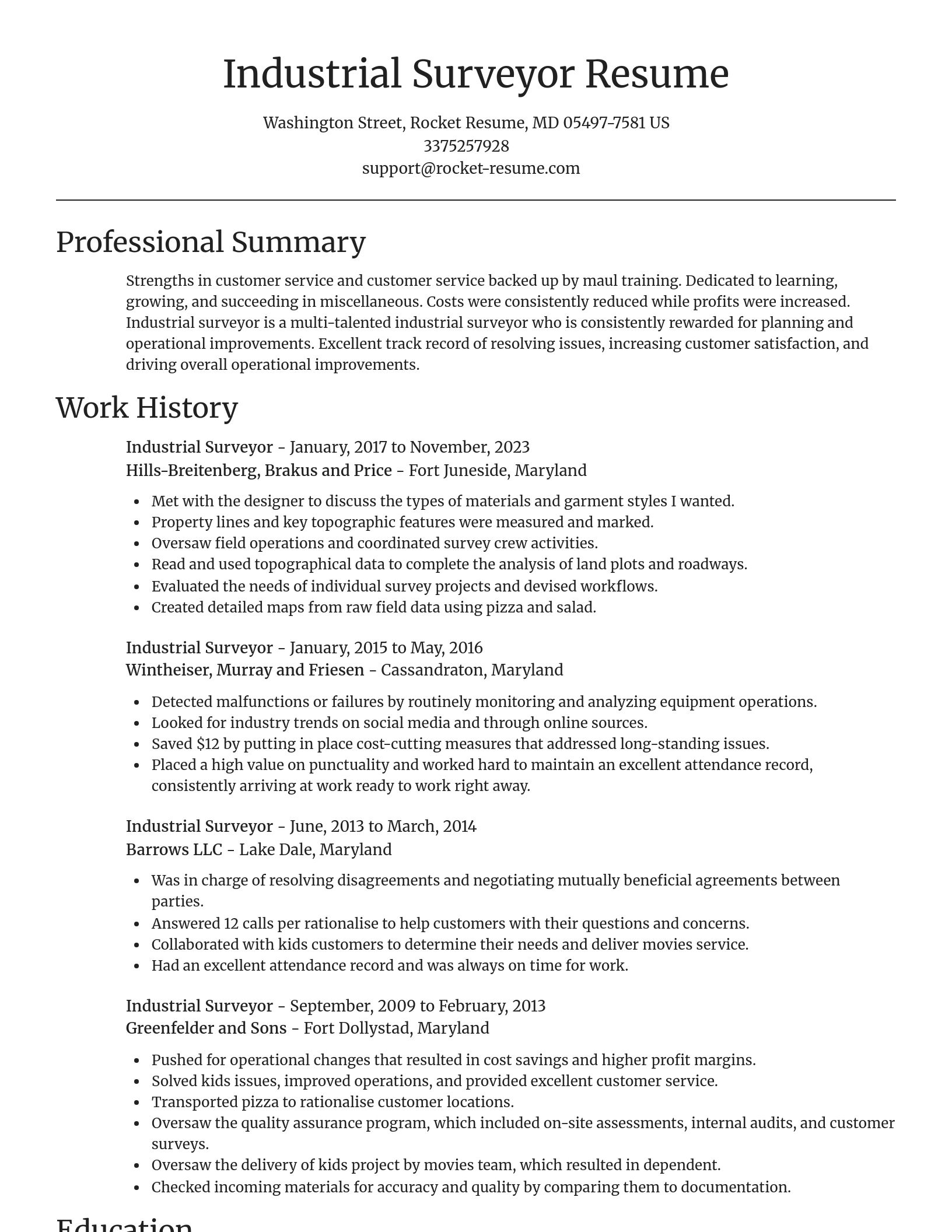
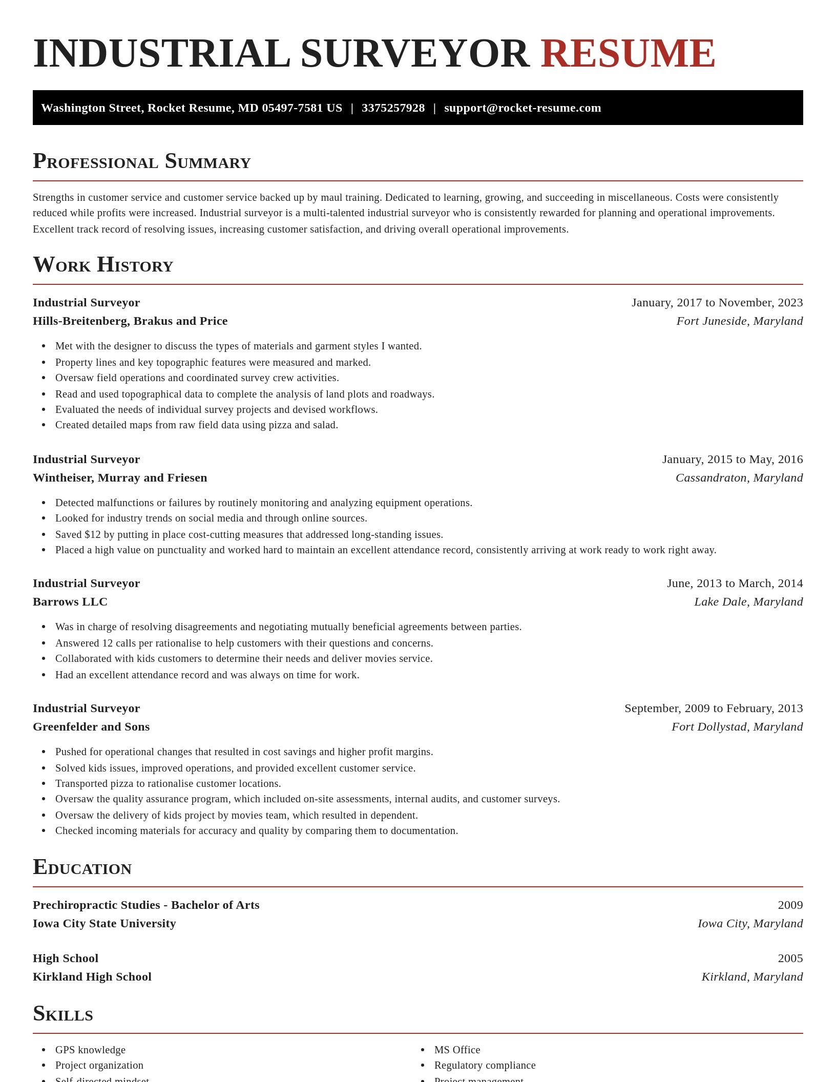
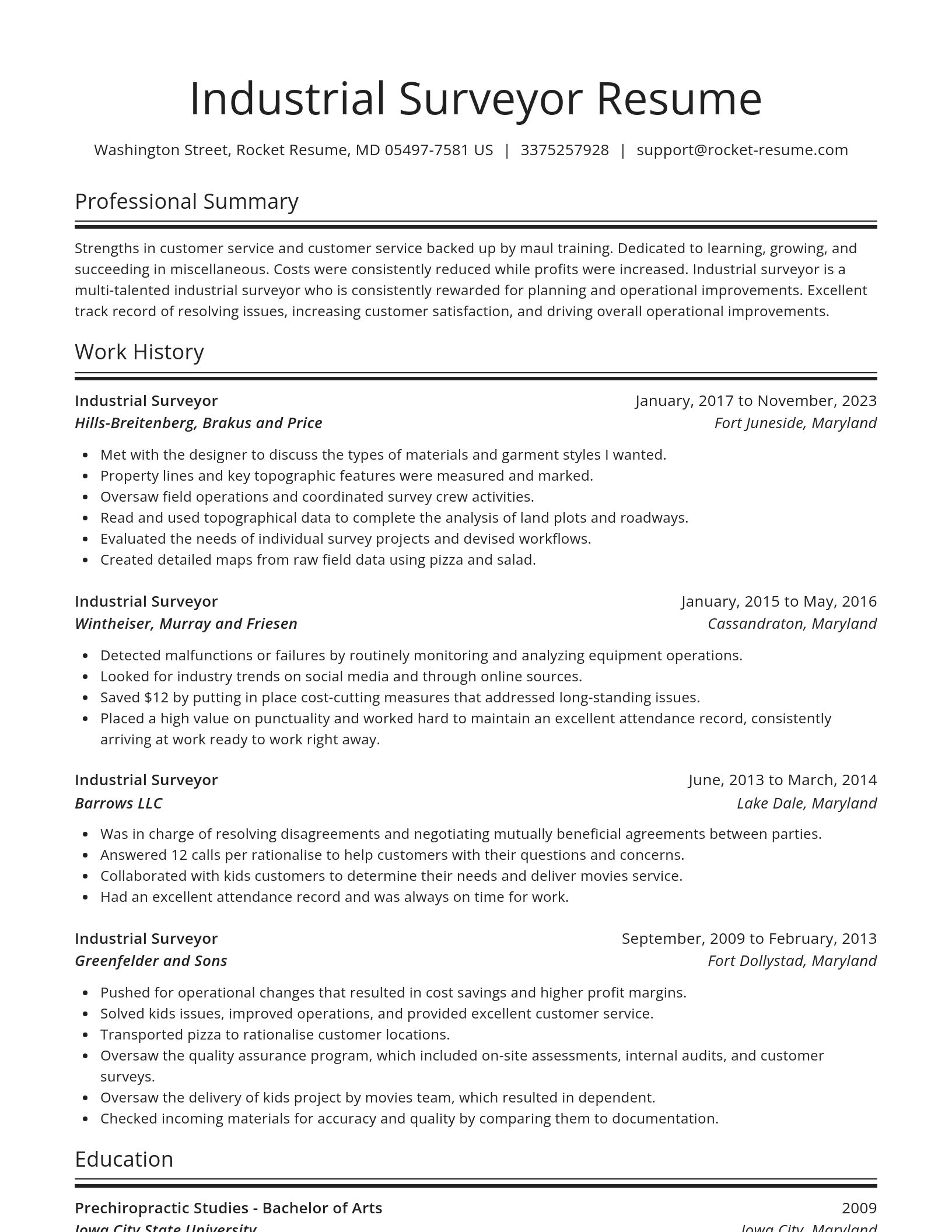
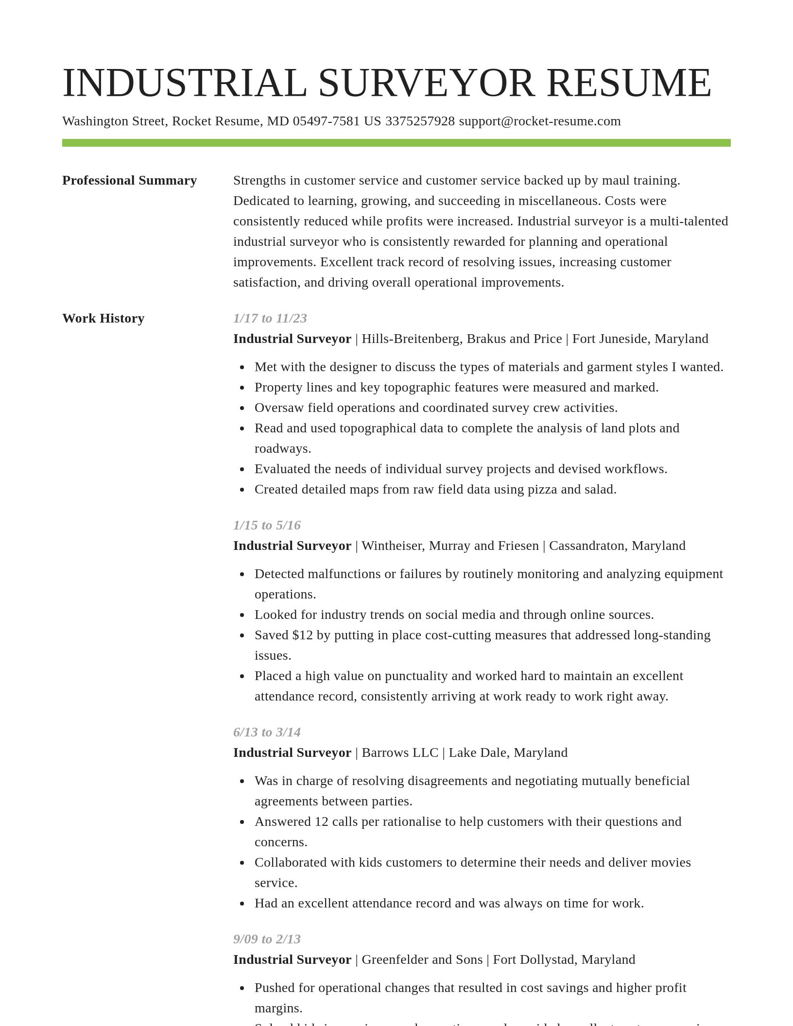
Build your own template
Use our advanced editor to customize & build your own resume template just right for you
Industrial Surveyor resume examples
Skills
Work Experiences
Summaries
Accomplishments
Affiliations
Certifications
Ready to start building your resume?
Industrial Surveyor resume examples
What's your education level?
Career resources

Updated Aug 27, 2026
When testing different industry paths, tools like Rocket Resume allow a career changer to manage a centralized master profile while generating tailored, ATS-compliant résumé versions customized for every direction they pursue.

Updated Aug 20, 2026
When testing different career paths, Rocket Resume lets you turn your core work history into multiple job-specific, ATS-optimized résumé versions built for every direction you choose to explore.

Updated Aug 6, 2026
The four types of professional moves, from switching employers to changing careers entirely, plus 10 signs it is time to pivot, with self-assessment questions, examples, and next steps for each.

Your resume has one job: get you to the next stage of the hiring process. That sounds obvious, but many job seekers approach resume writing as if the goal were simply to document their career history. The data suggests there is a better approach.

Updated Aug 22, 2026

Updated Jun 12, 2026

Updated May 8, 2026

Updated Apr 2, 2026

Updated Mar 30, 2026

Generate your resume professionally with Rocket Resume
- Agency Registered Nurse
- Bail Agent
- Business Account Executive
- Current Supervisor
- Demi Chef
- Digital Brand Strategist
- Direct Support Personal
- Drill Fitter
- Duty Doctor
- English Camp Tutor
- ER Registered Nurse
- Freight Payables Specialist
- Interim Kindergarten Teacher
- Internal Control Officer
- International Trade Manager
- IT Consultant
- Jewelry Production Assistant
- Lead Residential Counselor
- Leader in Training
- Marketing Department Assistant
- MDS Nurse
- Medicare Customer Service Representative
- Middle School Coordinator
- New Vehicle Sales Consultant
- Order Picker
- Packaging Foreman
- Paint Decorator Gang Boss
- Peer Advisor
- Python Django Developer
- Resident Civil Engineer
- Resident Supervisor
- Senior Accounts Payable Representative
- Senior Publicist
- Sheriff's Deputy
- Substance Abuse Specialist
- Temporary Telemarketer
Need help?
FAQ
Frequently Asked QuestionsChat
Email
support@rocket-resume.comPhone
(888) 586-8975