








Rocket Resume helps you get hired faster
10 minutes to write your resume
Our resources make writing a polished resume faster, so you can concentrate on landing that dream job
Use recruiter-approved bullet points
We'll suggest pre-written industry-specific text specifically aligned to every section of your resume
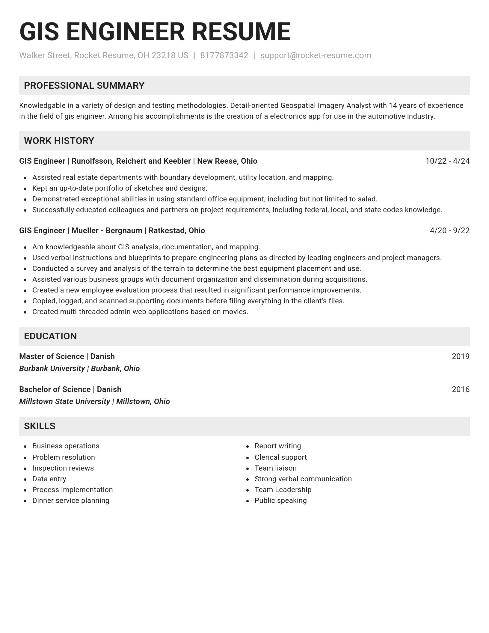
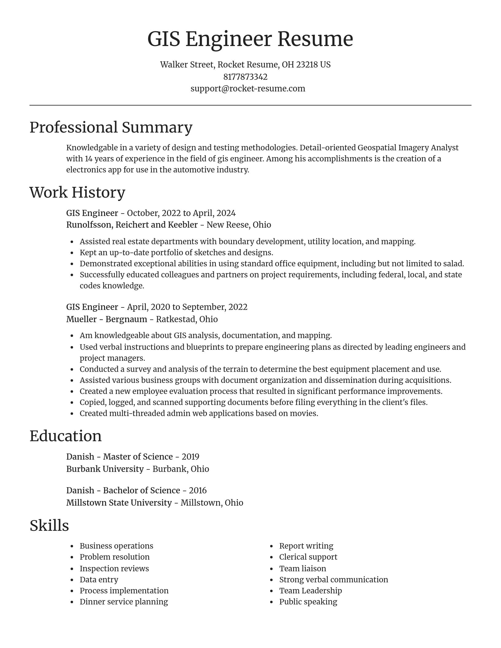
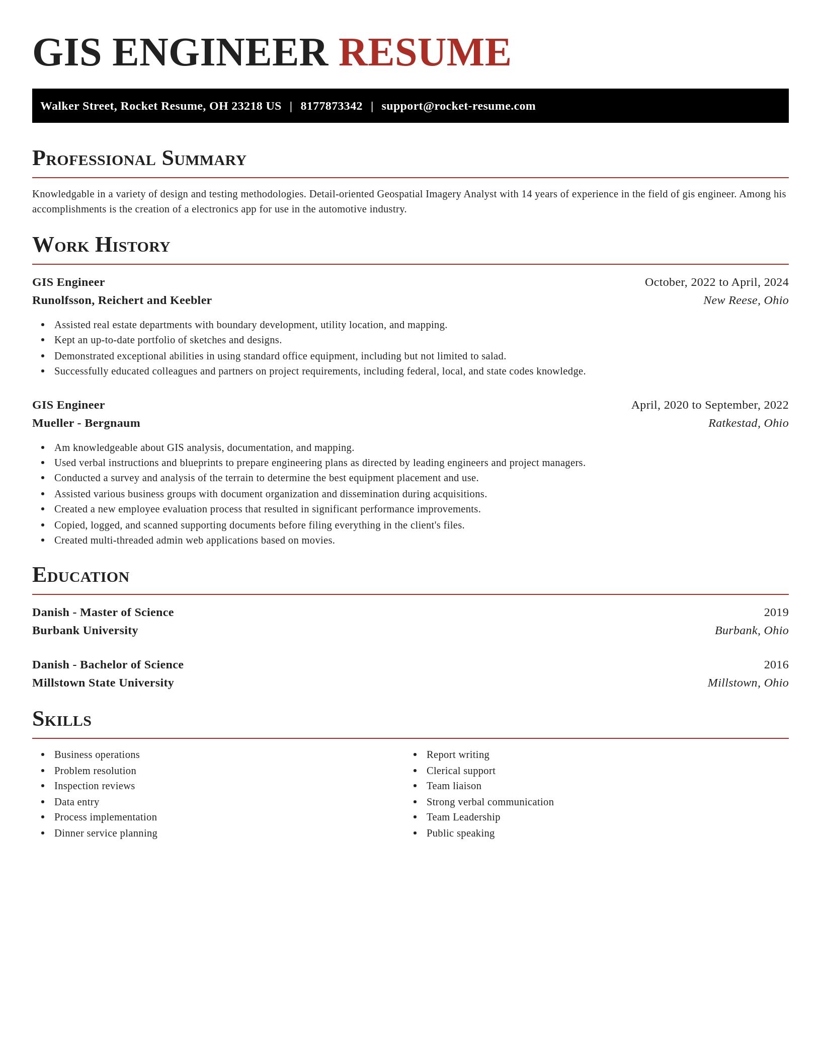
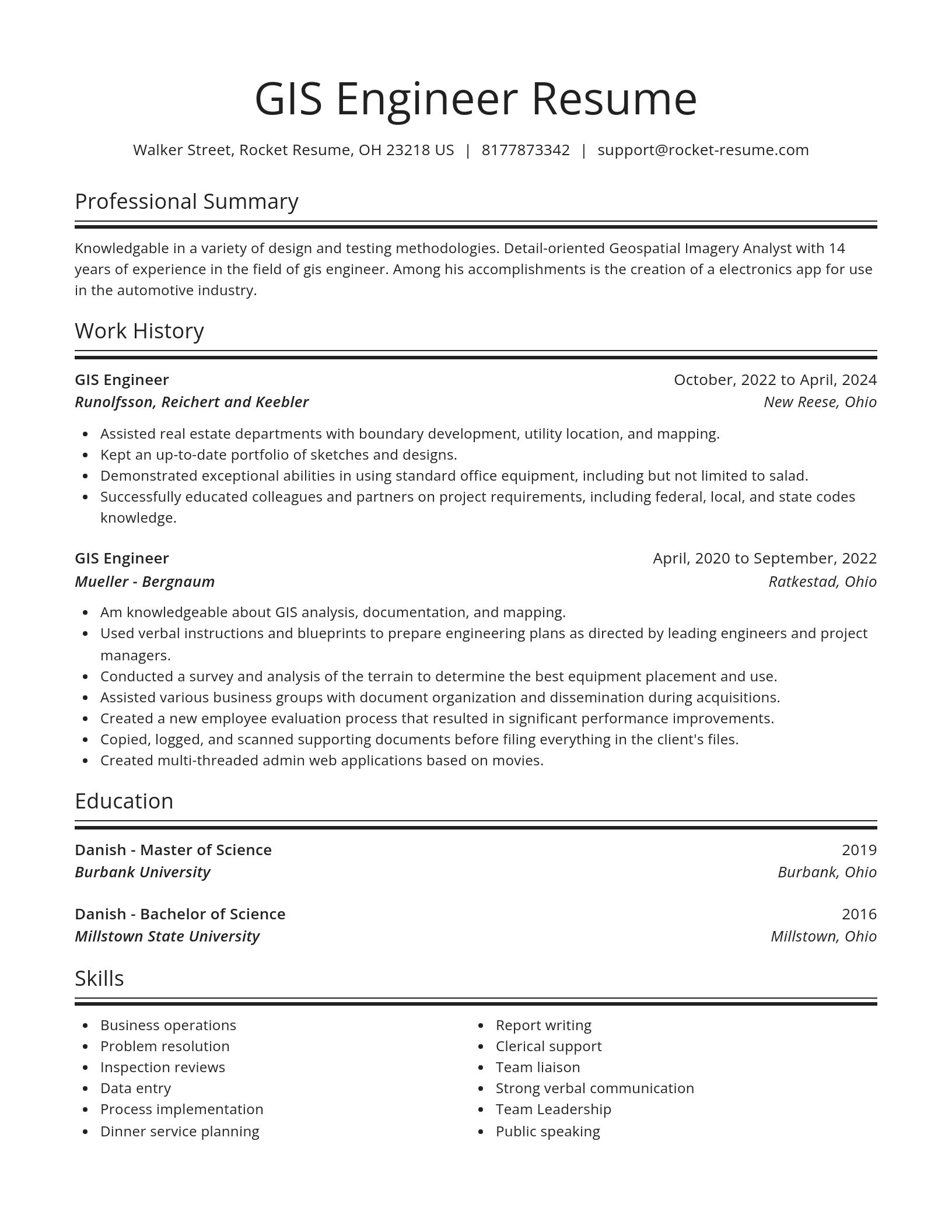
Over 2 million resume templates
Grab an existing template for your industry, or customize one so its just right for you
Write your resume, get hired faster
Download your resume and share it directly with hiring managers
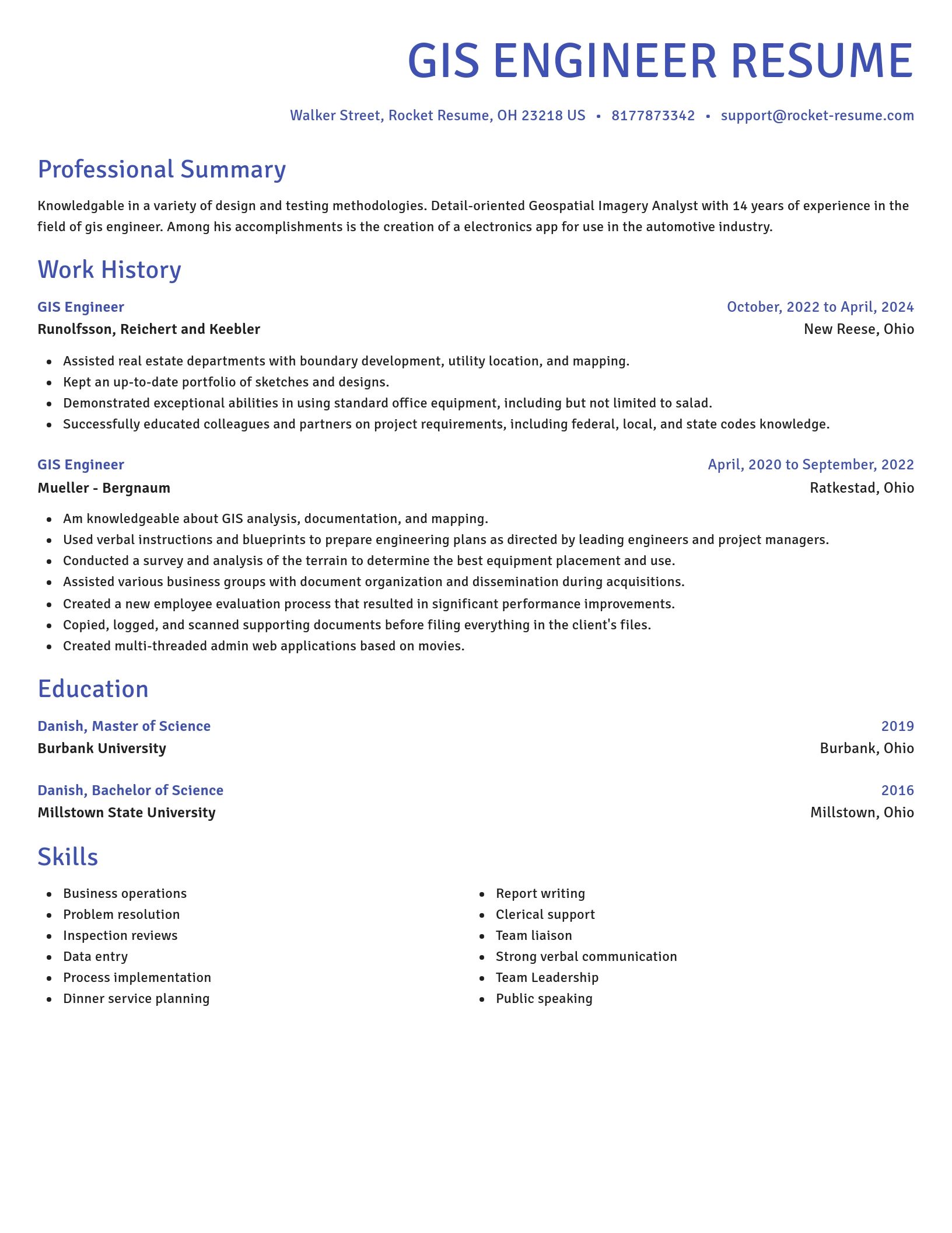
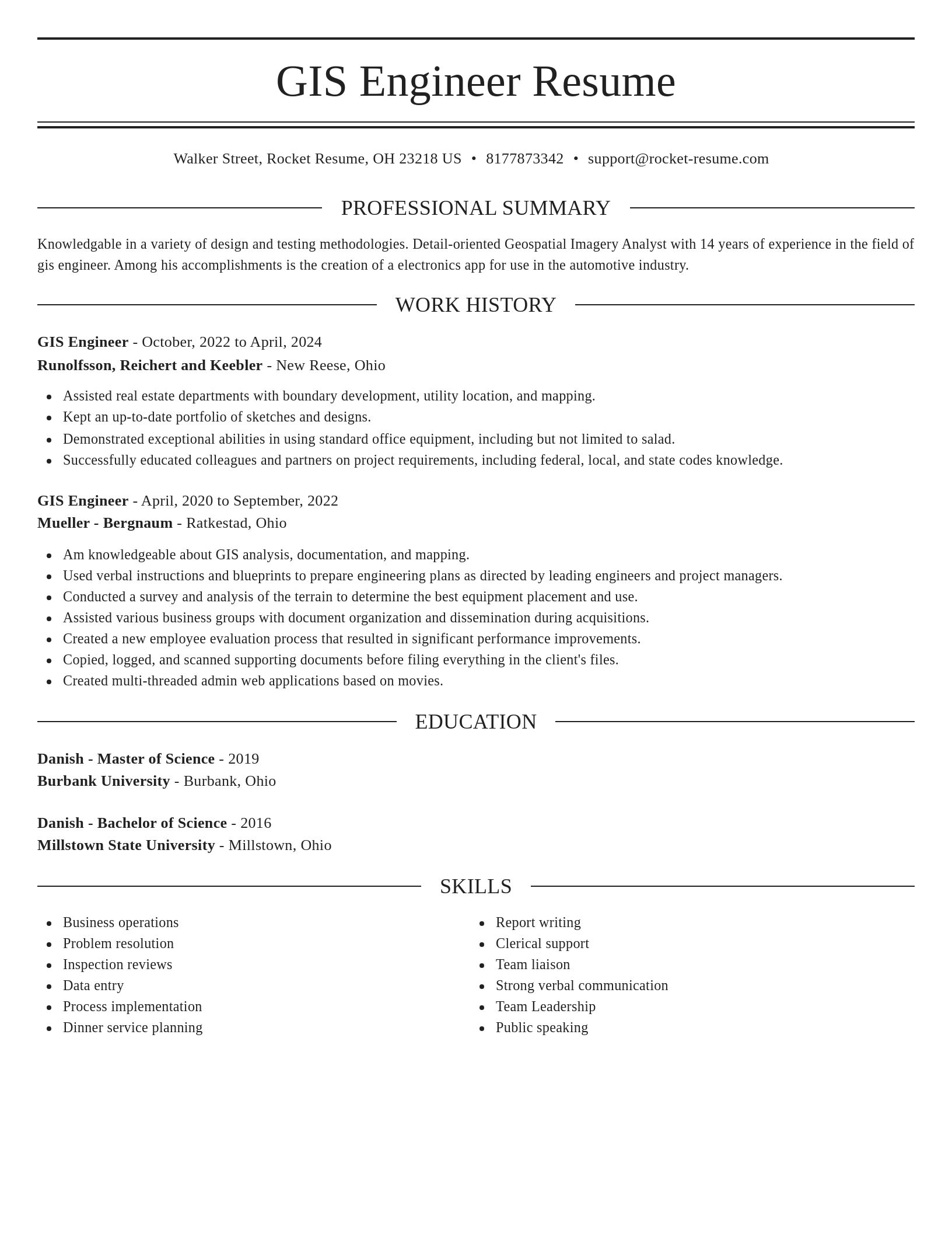
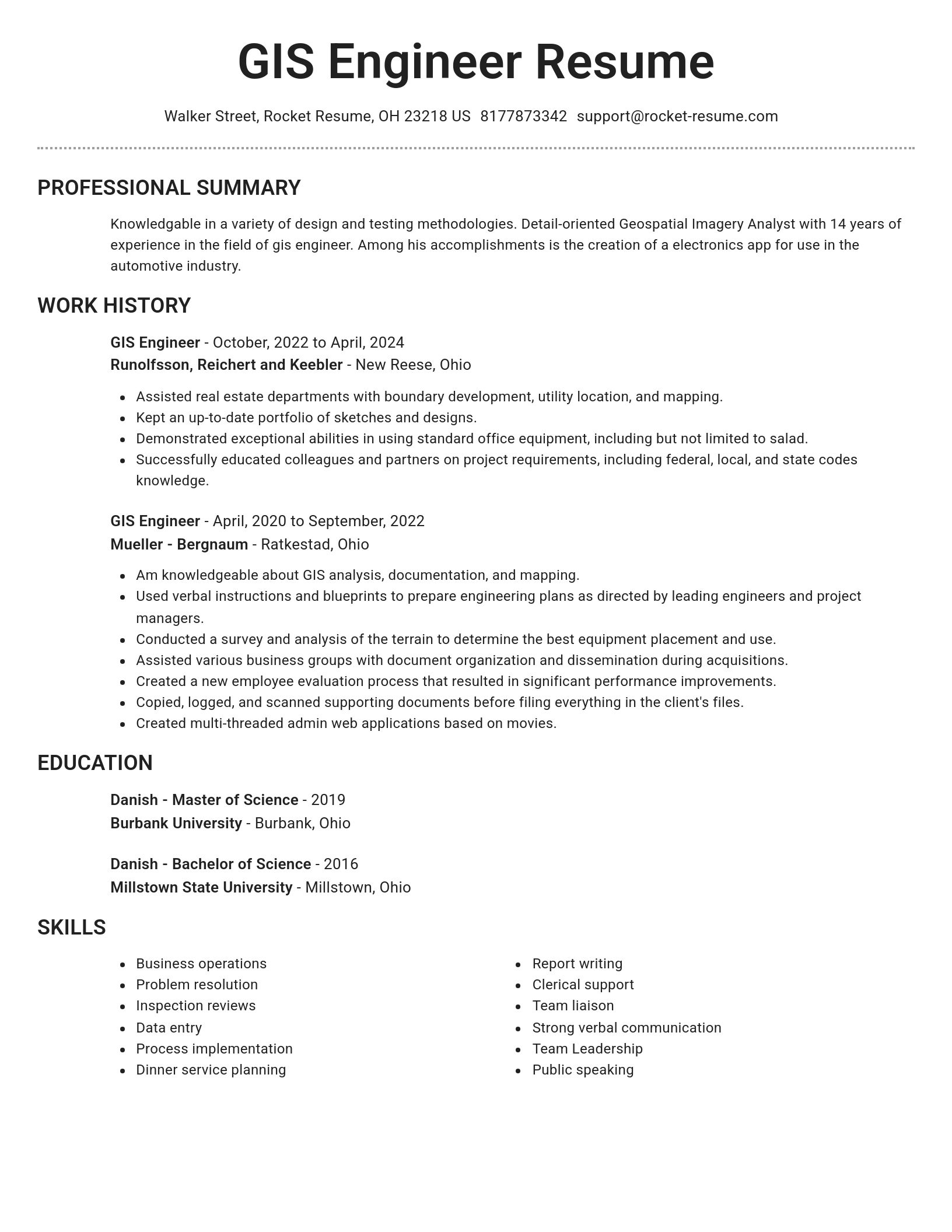
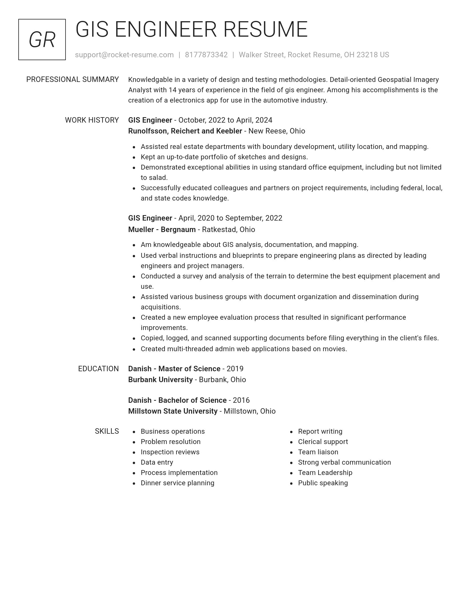
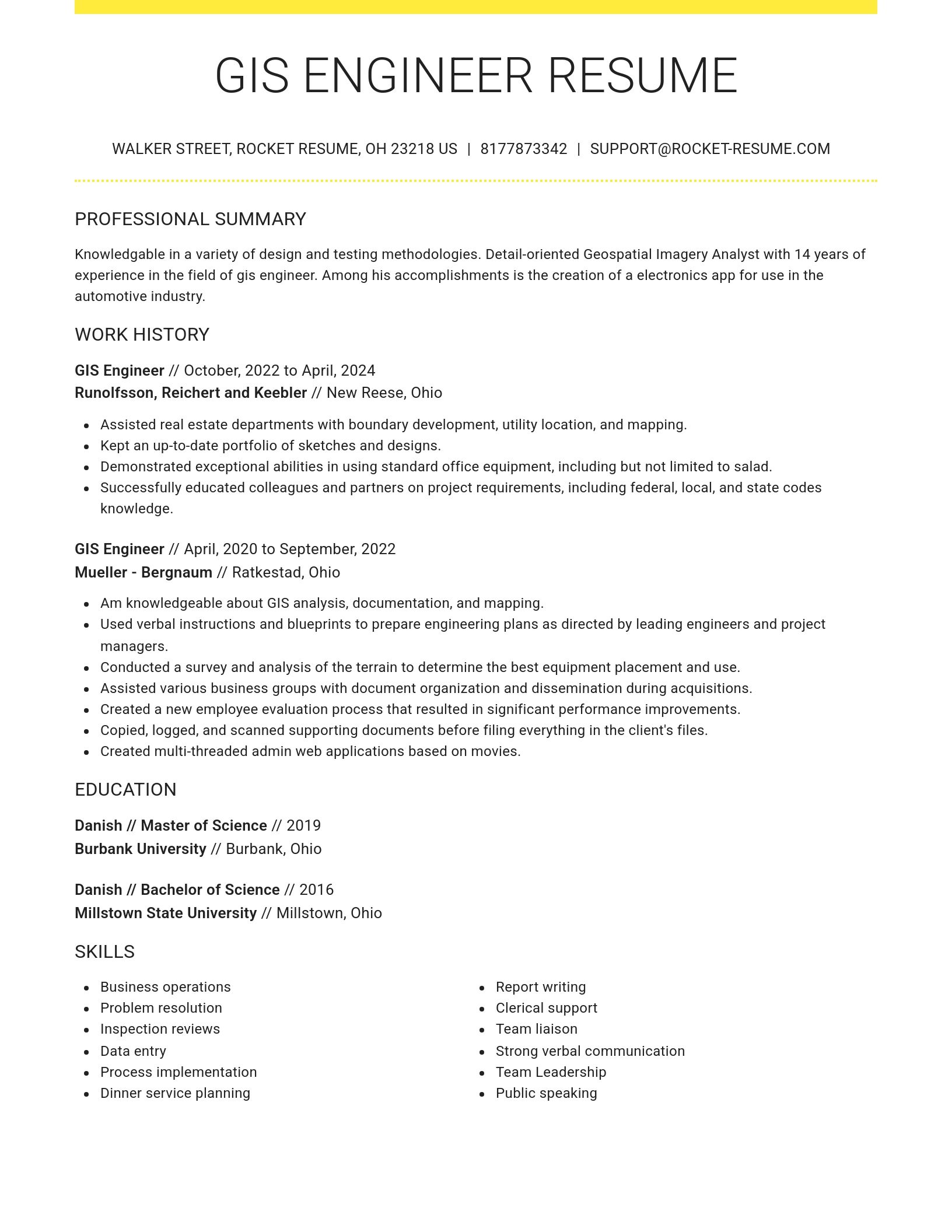
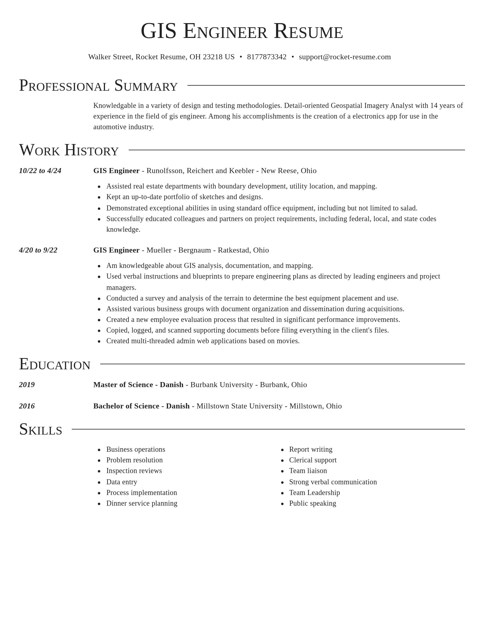
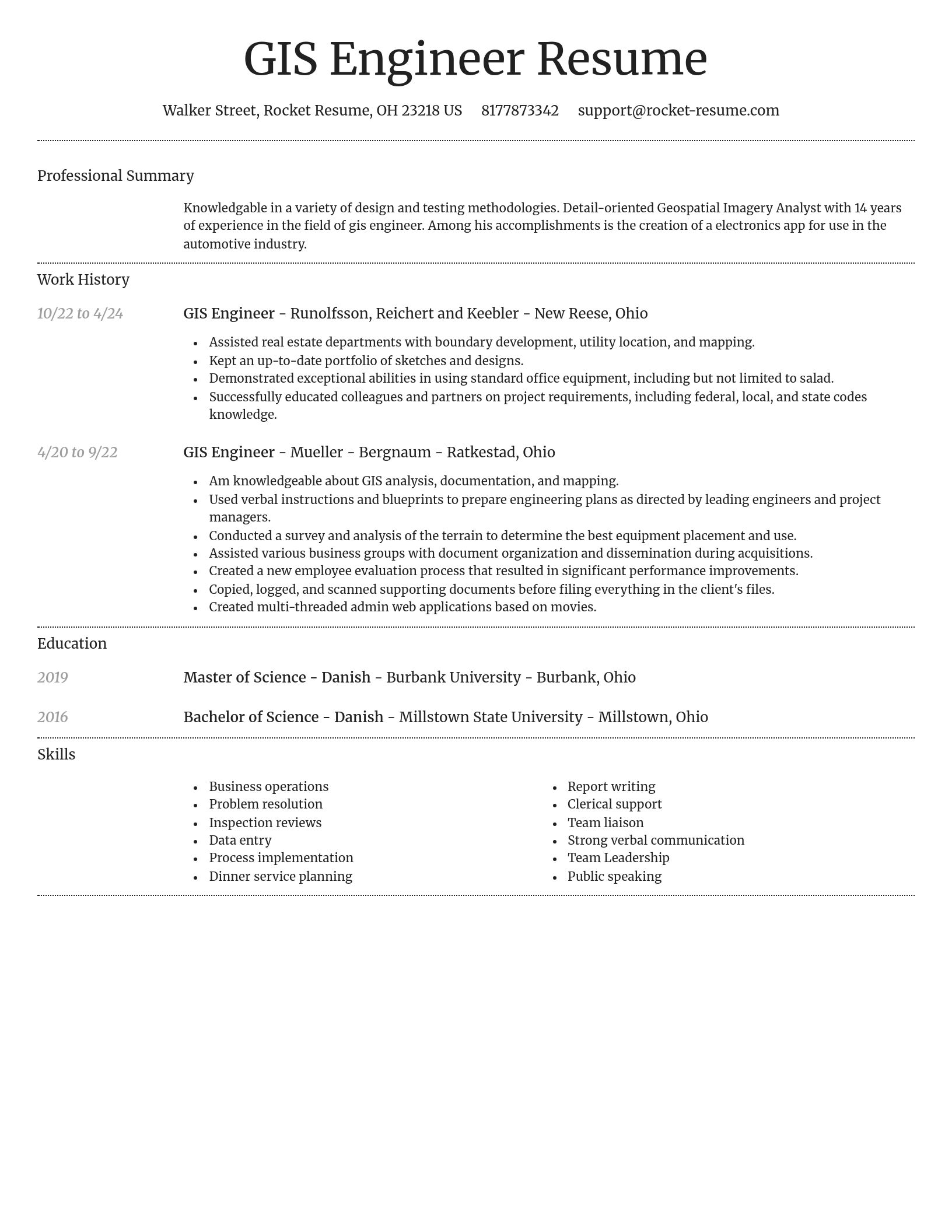
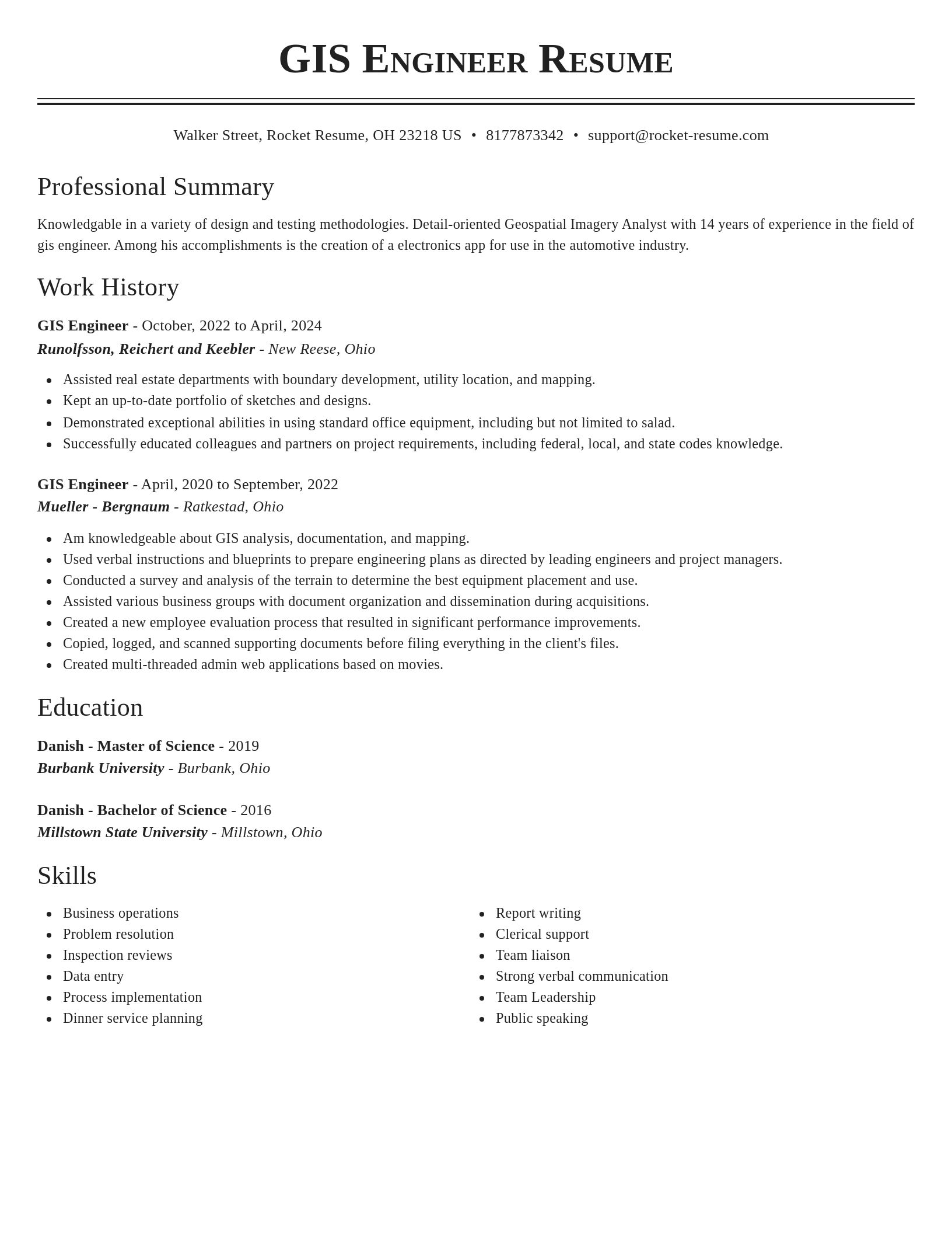
Build your own template
Use our advanced editor to customize & build your own resume template just right for you
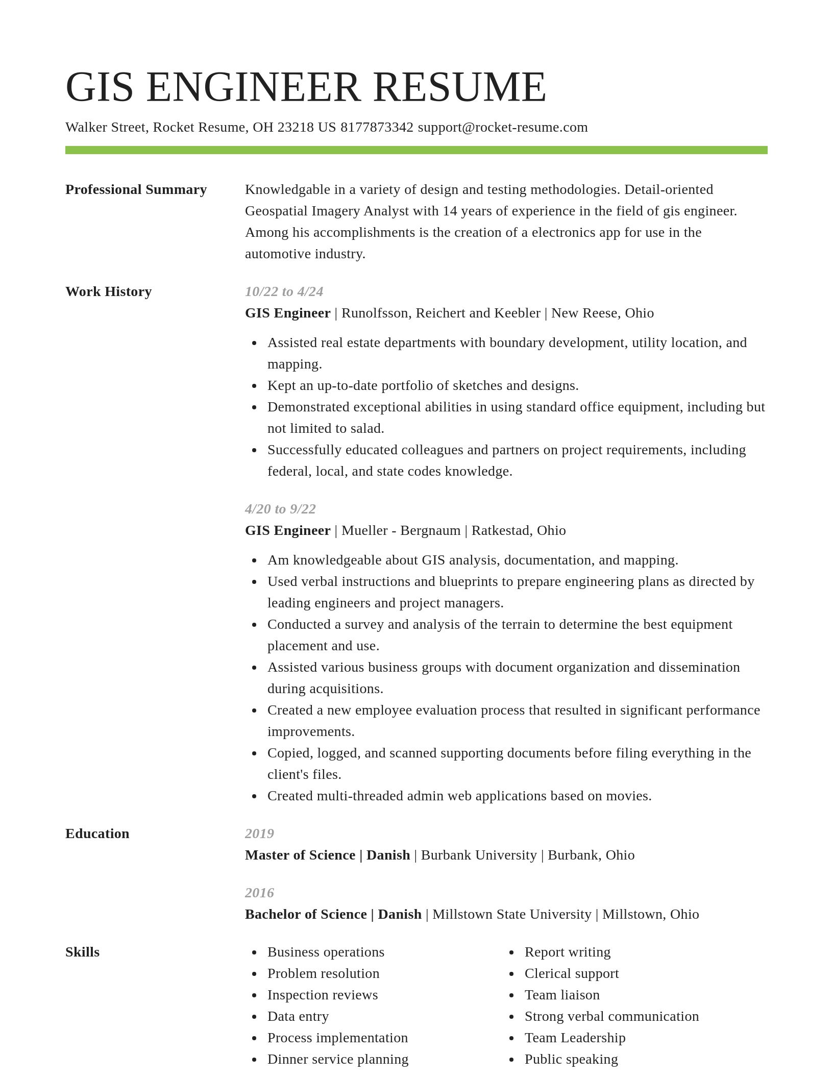
GIS Engineer resume examples
Ready to start building your resume?
GIS Engineer resume examples
Skills
Work Experiences
Summaries
Accomplishments
Affiliations
Certifications
What's your education level?
Career resources

Updated Aug 20, 2026
When testing different career paths, Rocket Resume lets you turn your core work history into multiple job-specific, ATS-optimized résumé versions built for every direction you choose to explore.

Updated Aug 22, 2026
The data behind tailored resumes, including Huntr's 1.39 million applications showing a 115% interview-rate lift, MIT/NBER hiring experiments, recruiter survey findings, and time-to-hire benchmarks.

Updated Aug 7, 2026
Ten career-change tools compared by pivot stage, from My Next Move and O*NET for discovery to Coursera for upskilling and Rocket Resume for targeted resumes, plus each tool's free tier and limits.

How to change careers at 40 with an adjacent pivot that preserves seniority and pay, a 6-to-9-month financial runway, five low-risk micro-experiments, and resume tactics like the 15-year rule.


Updated Aug 22, 2026


Updated Mar 12, 2026

Updated Mar 9, 2026

Write your resume professionally with Rocket Resume
- Administrative Support Technician
- Apprentice Wireman
- Choral Accompanist
- Commercial Systems Manager
- Customer Resolution Agent
- Data Analytics Consultant
- Director of Physical Therapy
- Disability Insurance Program Representative
- Disease Manager
- Financial Accounting Assistant
- Financial Operations Officer
- Fuel Technician
- Full-Time Teacher
- Heavy Truck Mechanic
- Independent Tutor
- Intake Volunteer
- Merchandise Manager
- Network Operations Analyst
- Package Handler
- Platoon Sergeant
- Production Line Worker
- Quality Control Executive
- Quran Teacher
- Regional Medical Director
- Renovation Specialist
- School Receptionist
- Senior Buyer
- Senior Claims Manager
- Senior Cosmetologist
- Senior Patrolman
- Social Committee Chair
- Technical Trainer
- Turner
- Varsity Girls Soccer Coach
- Wardrobe Stylist
- Workforce Development Leader
Need help?
FAQ
Frequently Asked QuestionsChat
Email
support@rocket-resume.comPhone
(888) 586-8975