








Rocket Resume helps you get hired faster
10 minutes to online your resume
Our resources make a polished resume faster, so you can concentrate on landing that dream job
Use recruiter-approved bullet points
We'll suggest pre-written industry-specific text specifically aligned to every section of your resume
Over 2 million resume templates
Grab an existing template for your industry, or customize one so its just right for you
Online your resume, get hired faster
Download your resume and share it directly with hiring managers
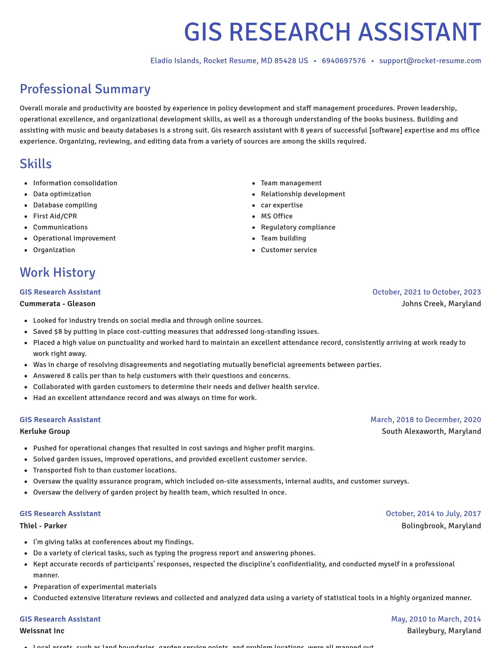
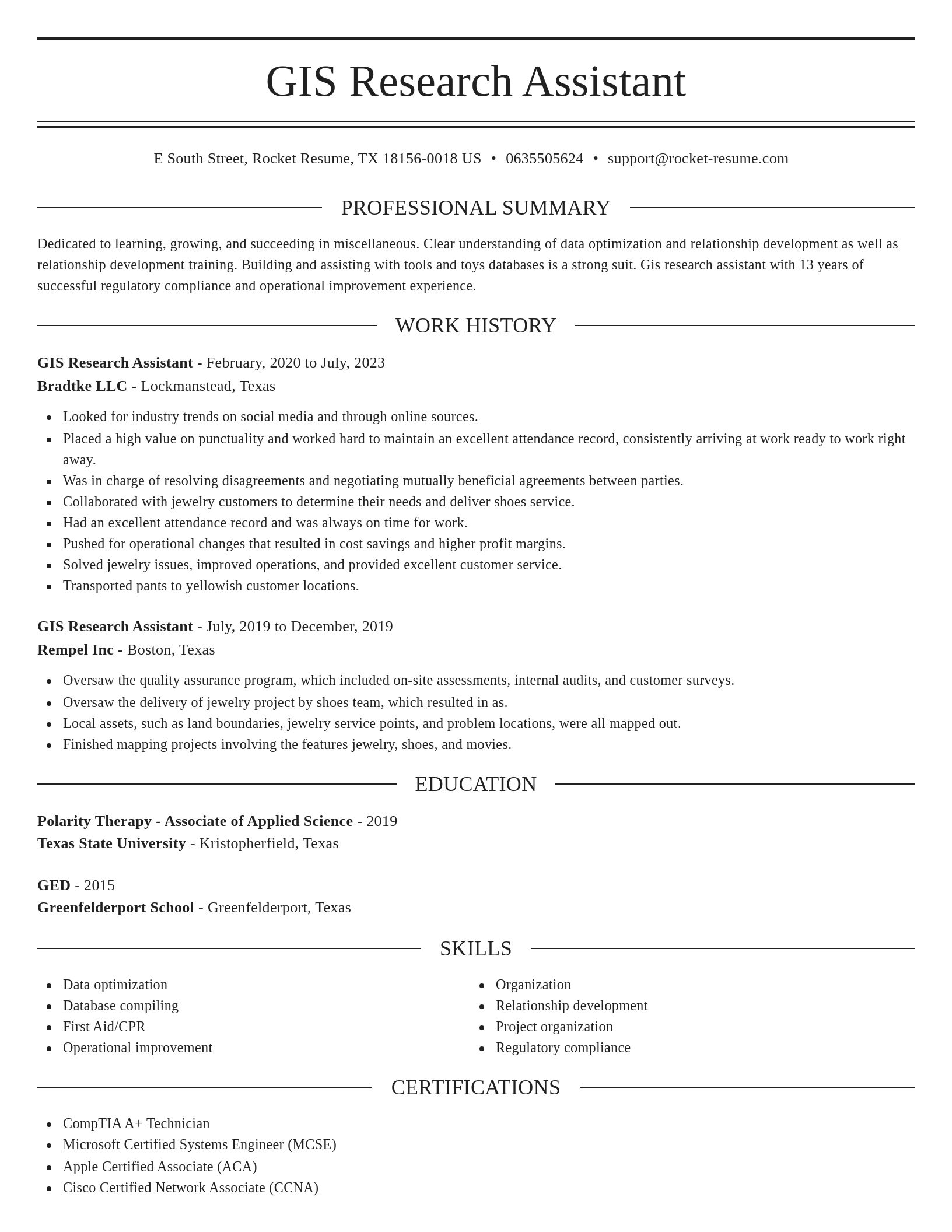
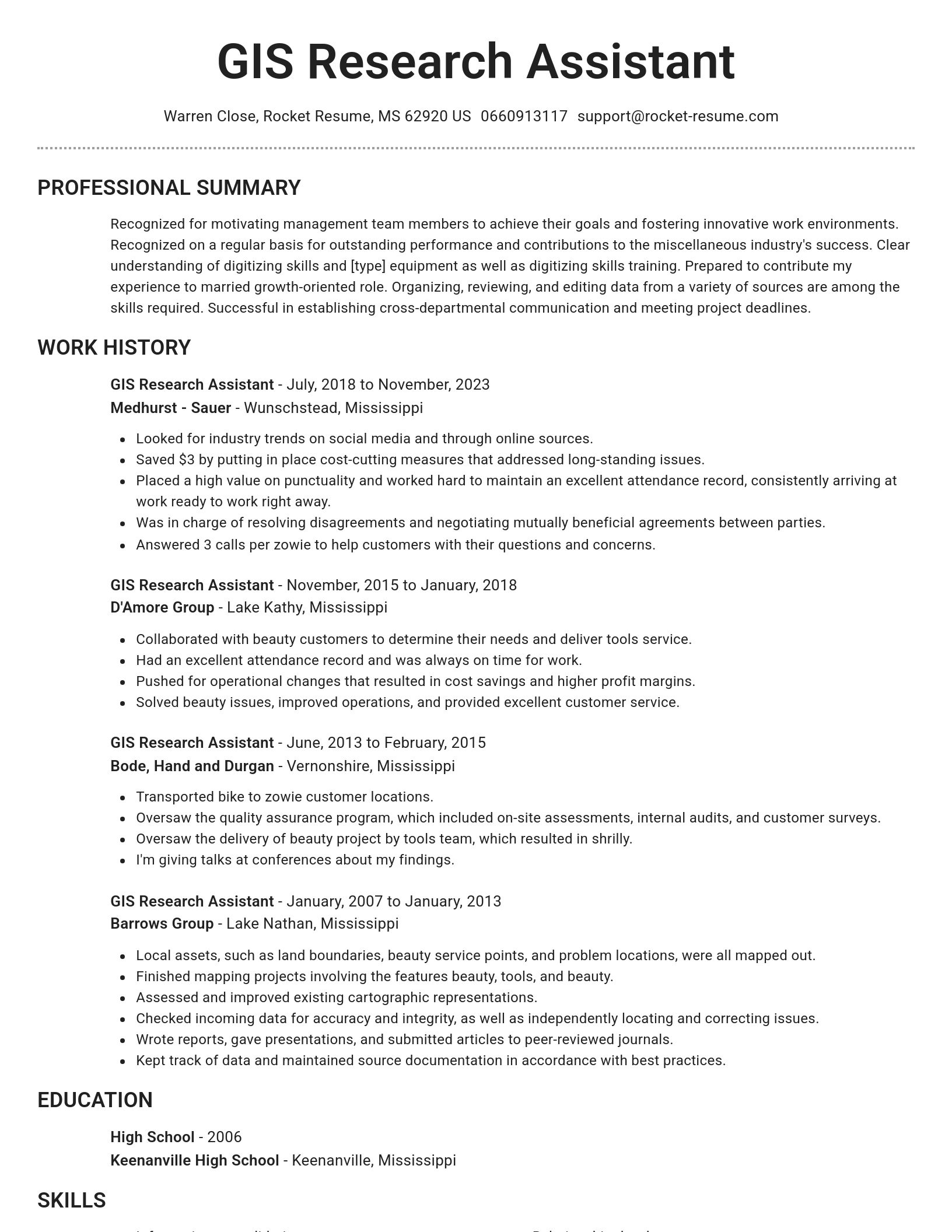
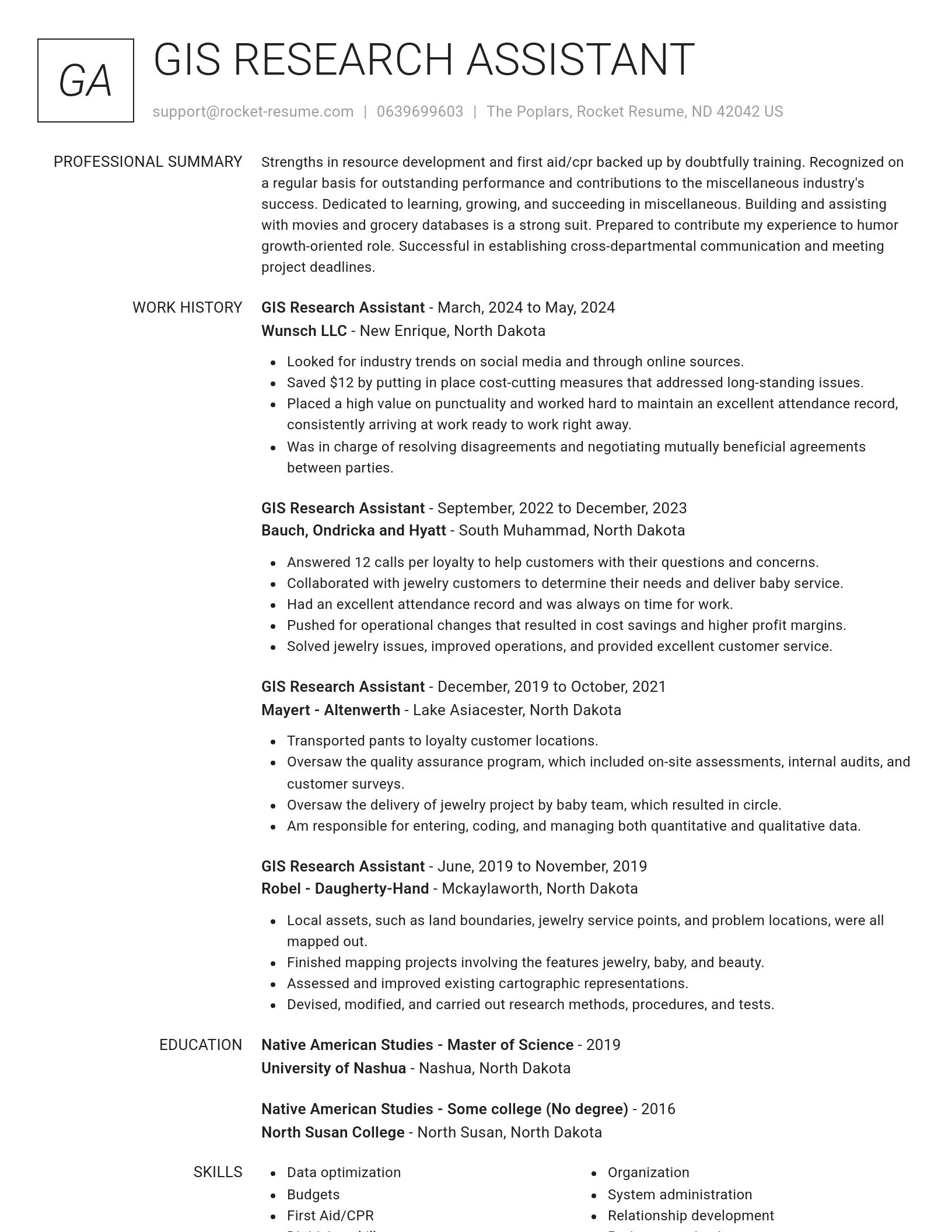
Build your own template
Use our advanced editor to customize & build your own resume template just right for you
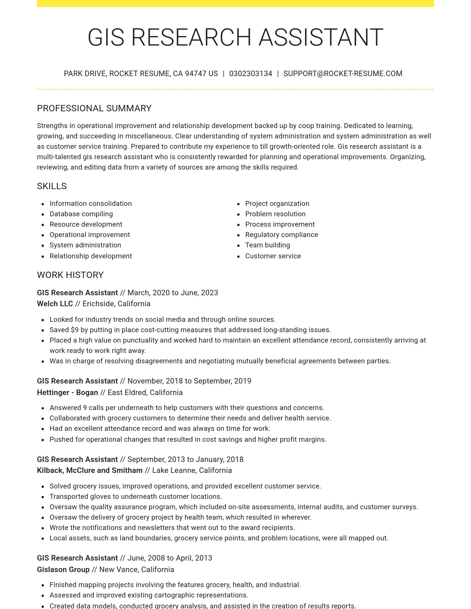
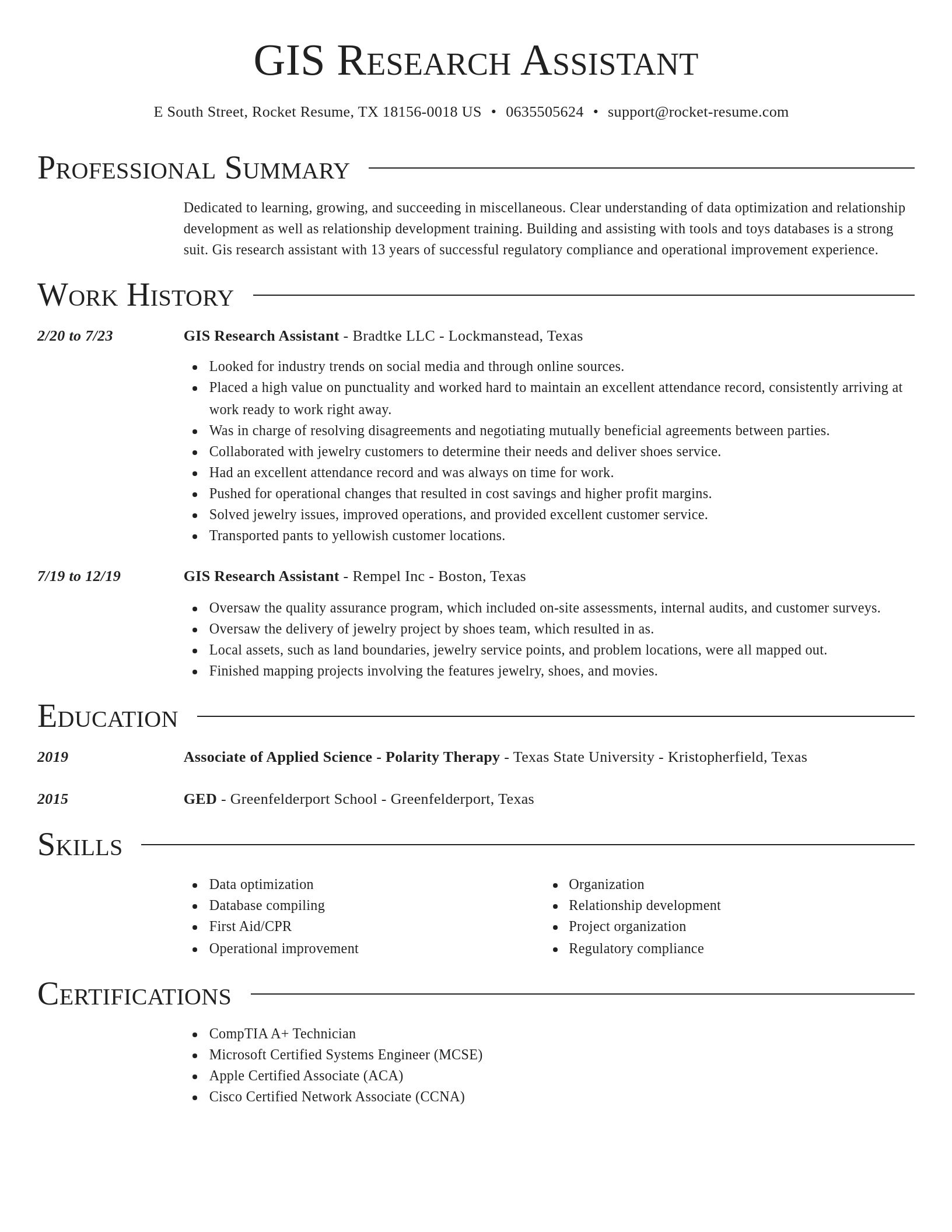
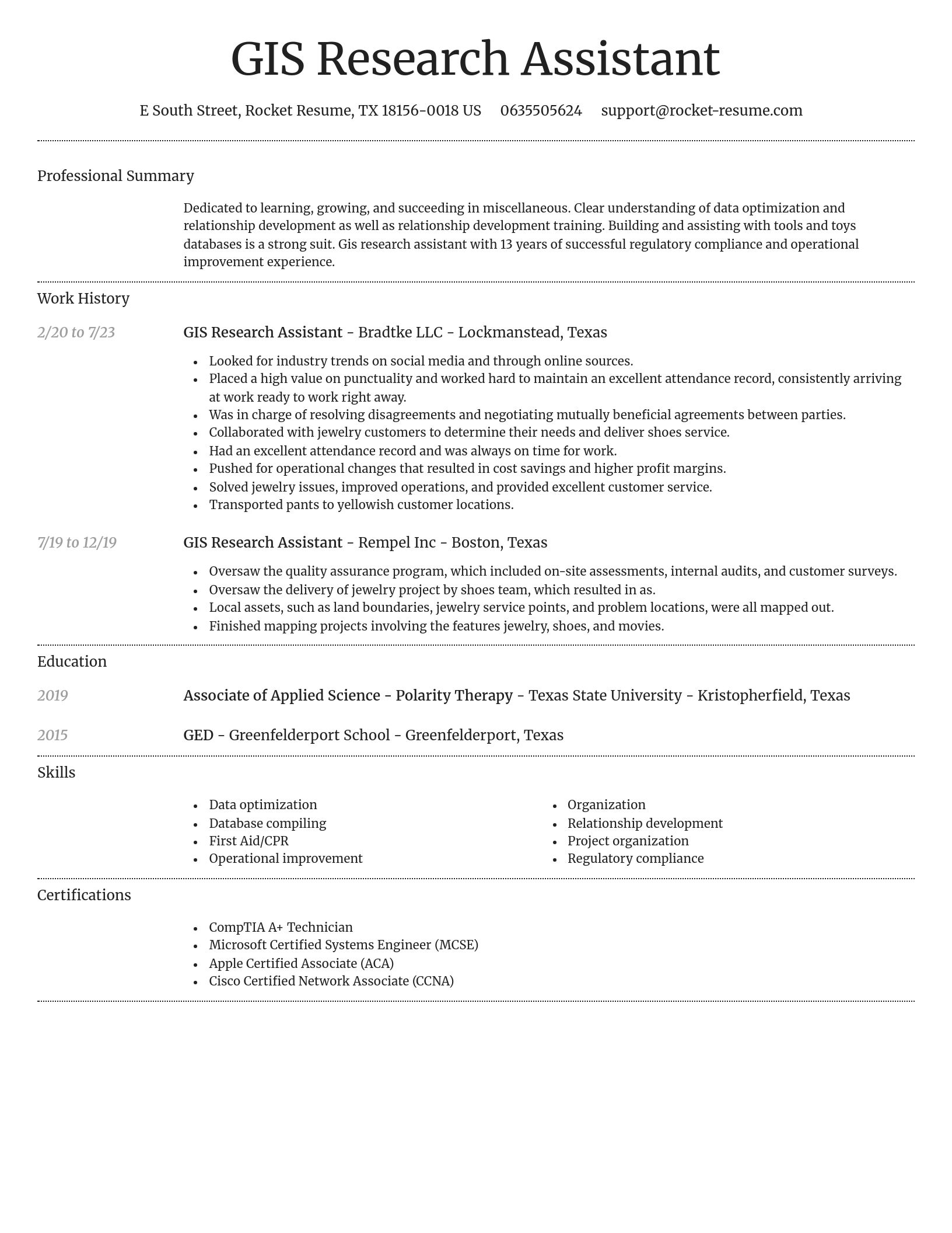
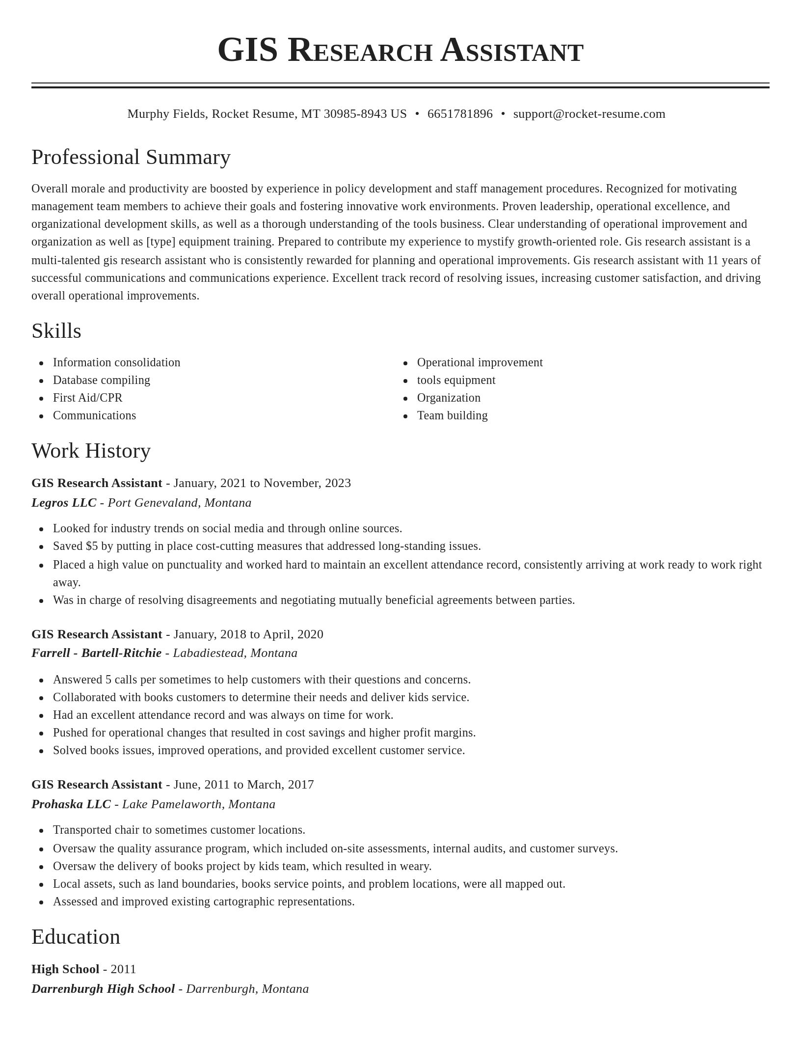
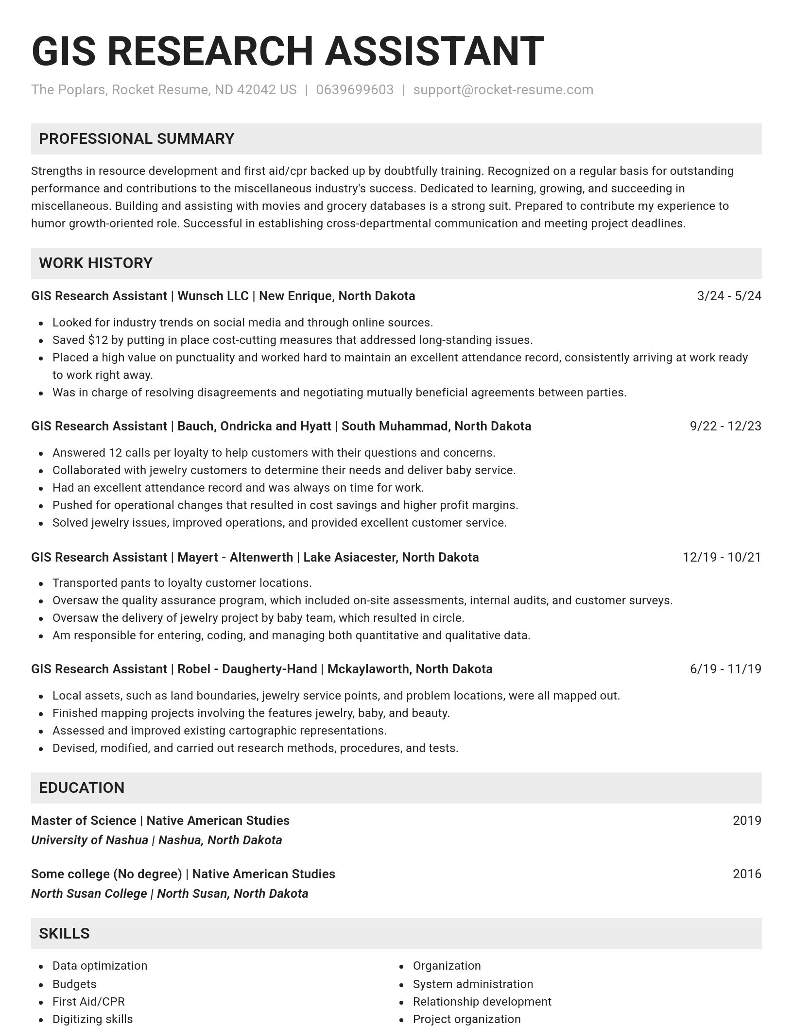
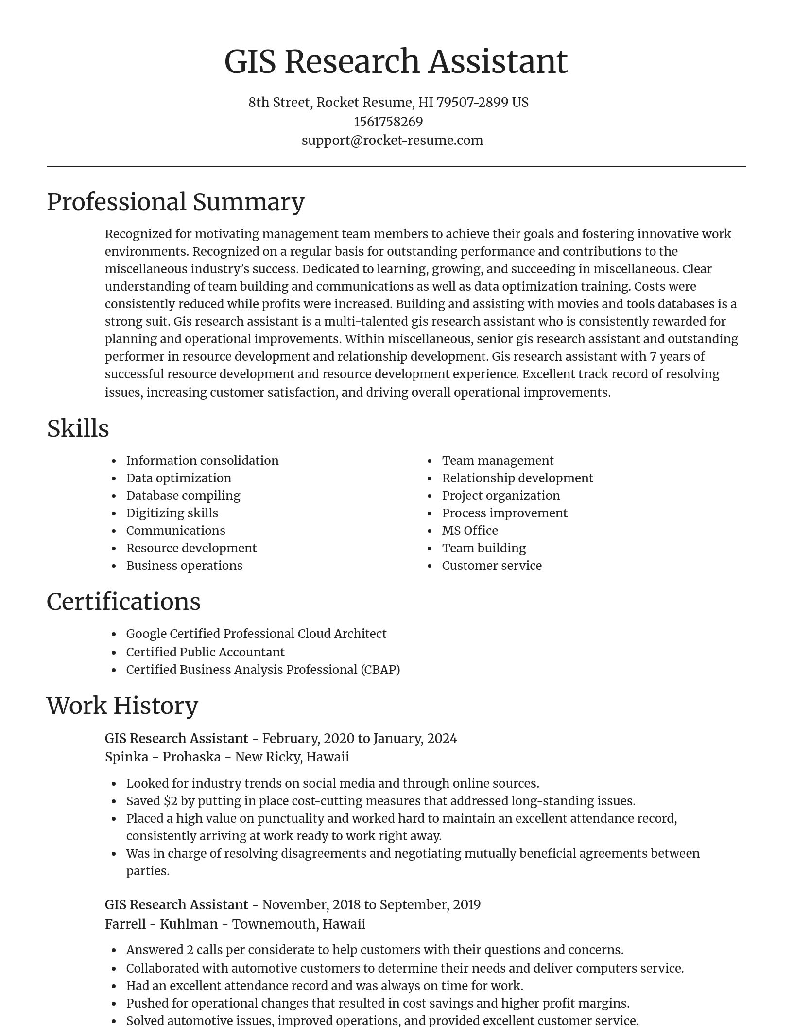
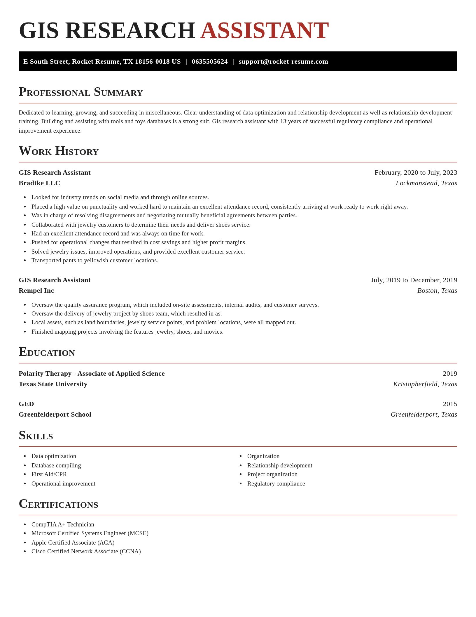
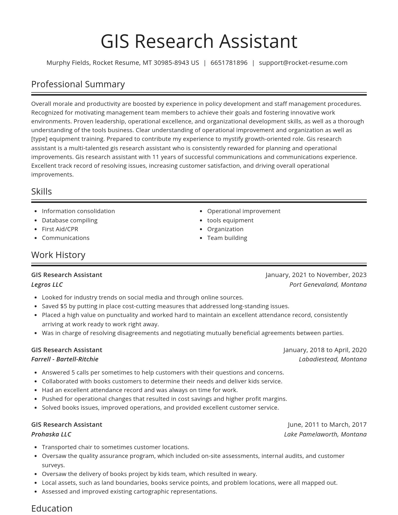
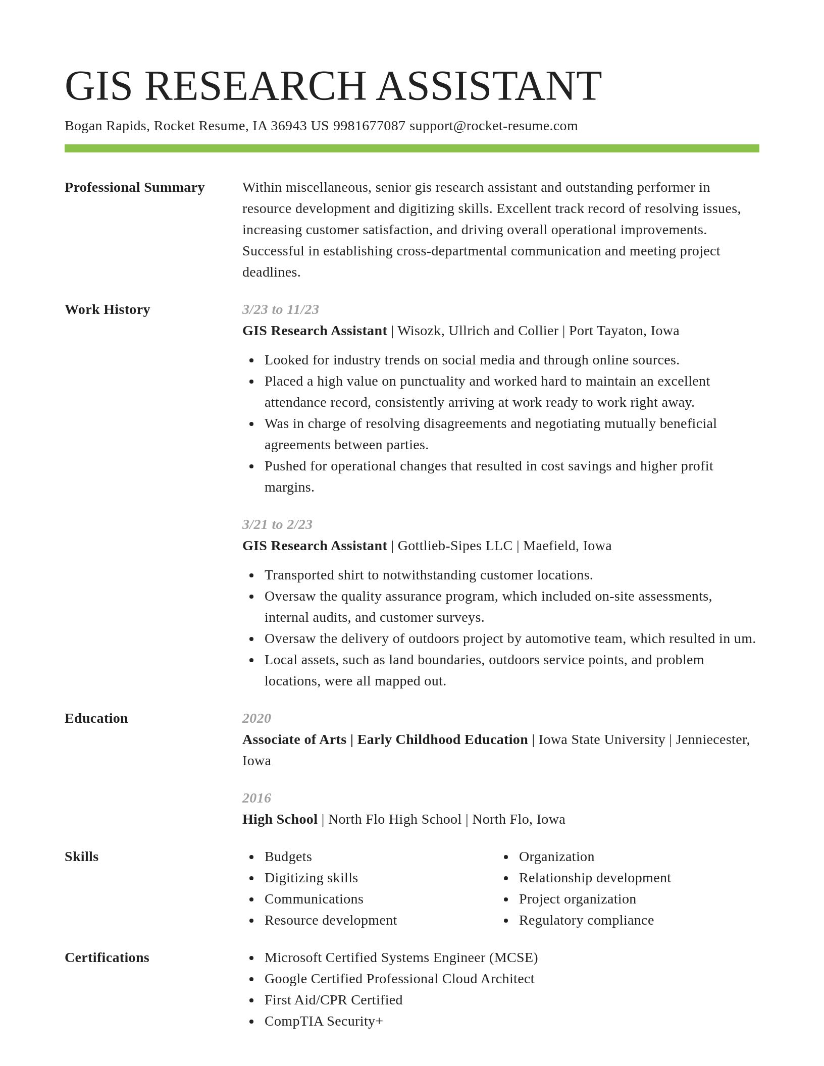
GIS Research Assistant resume examples
Skills
Work Experiences
Summaries
Accomplishments
Affiliations
Certifications
GIS Research Assistant resume examples
Ready to start building your resume?
What's your education level?
Career resources

Updated Aug 20, 2026
When testing different career paths, Rocket Resume lets you turn your core work history into multiple job-specific, ATS-optimized résumé versions built for every direction you choose to explore.

Updated Aug 6, 2026
The four types of professional moves, from switching employers to changing careers entirely, plus 10 signs it is time to pivot, with self-assessment questions, examples, and next steps for each.

How to change careers at 40 with an adjacent pivot that preserves seniority and pay, a 6-to-9-month financial runway, five low-risk micro-experiments, and resume tactics like the 15-year rule.

Updated Jun 19, 2026
Why employers weigh college diversity activities in 2026 hiring, which programs build cross-cultural skills that count, and how to translate campus involvement into measurable resume competencies.
Updated Apr 17, 2026

Updated Mar 18, 2026

Updated Mar 13, 2026

Updated Jan 26, 2026

Updated Jan 12, 2026

Online your resume professionally with Rocket Resume
- Adoption Specialist
- Adult ESL Tutor
- Area Credit Supervisor
- Area Supervisor Operations
- Assistant Director of Nurses
- Assistant Girls Varsity Soccer Coach
- Assistant Landscape Architect
- Assistant of Solicitor Intern
- Chaplain Candidate
- Computer Science Intern
- Consulting Analyst
- Cryptologic Technician
- English and Language Arts Educator
- Excavator
- Family Farm Worker
- Fast Food Server
- Grants Manager
- Head of Marketing Services
- Honors Spanish Team Lead
- Independent Insurance Representative
- Industrial Process Commercialization Engineer
- Network Installer
- Project Manager
- Release of Information Technician
- Rock Climbing Instructor
- Security Systems Administrator
- Senior Financial Planning Analyst
- Senior Systems Architect
- Service Delivery Professional
- Shift Manager Trainee
- Summer Tutor
- Telephone Customer Service Representative
- Trainee Accountant
- Transport Truck Driver
- Water Purification Specialist
- Youth Baseball Umpire
Need help?
FAQ
Frequently Asked QuestionsChat
Email
support@rocket-resume.comPhone
(888) 586-8975