








Rocket Resume helps you get hired faster
10 minutes to download your resume
Our resources make a polished resume faster, so you can concentrate on landing that dream job
Use recruiter-approved bullet points
We'll suggest pre-written industry-specific text specifically aligned to every section of your resume
Over 2 million resume templates
Grab an existing template for your industry, or customize one so its just right for you
Download your resume, get hired faster
Download your resume and share it directly with hiring managers
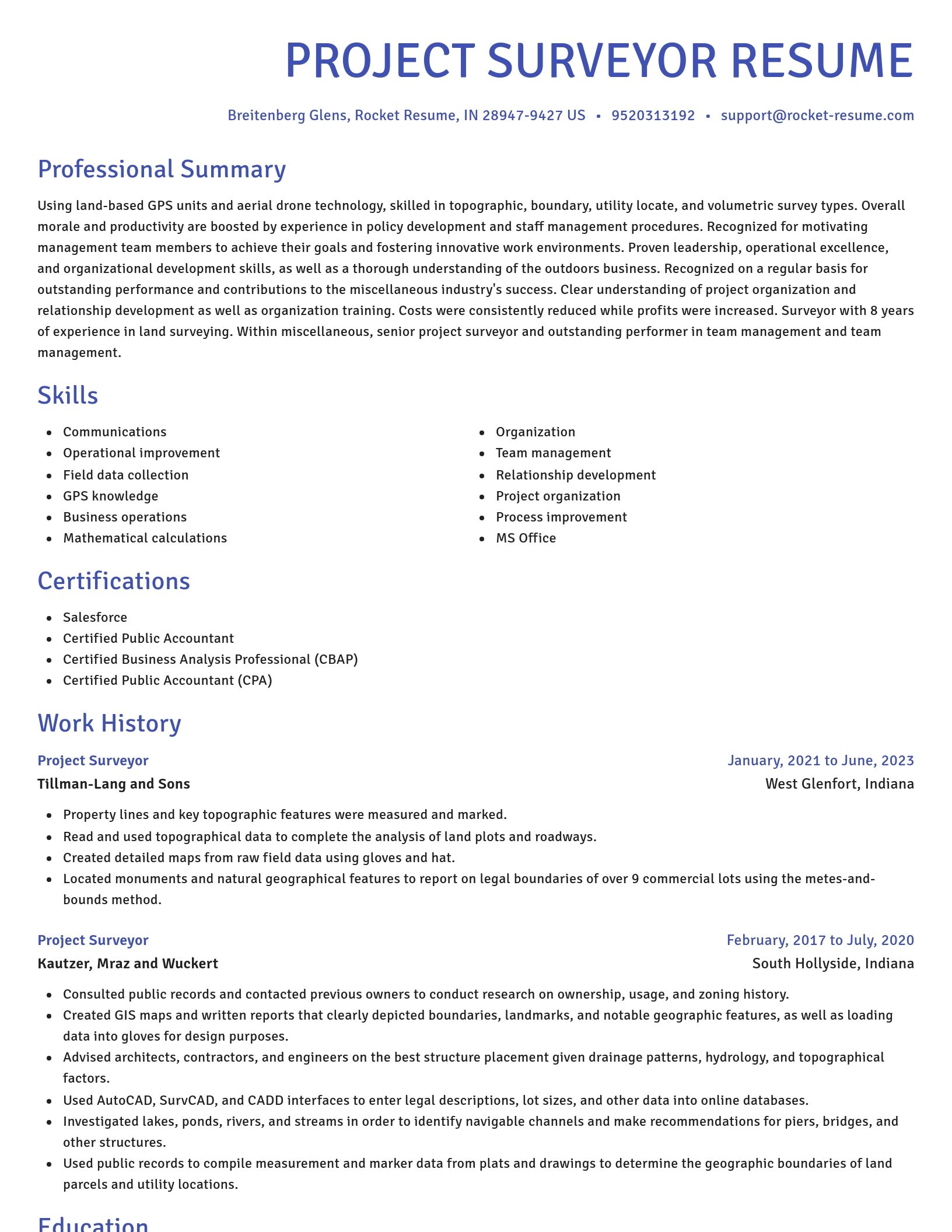
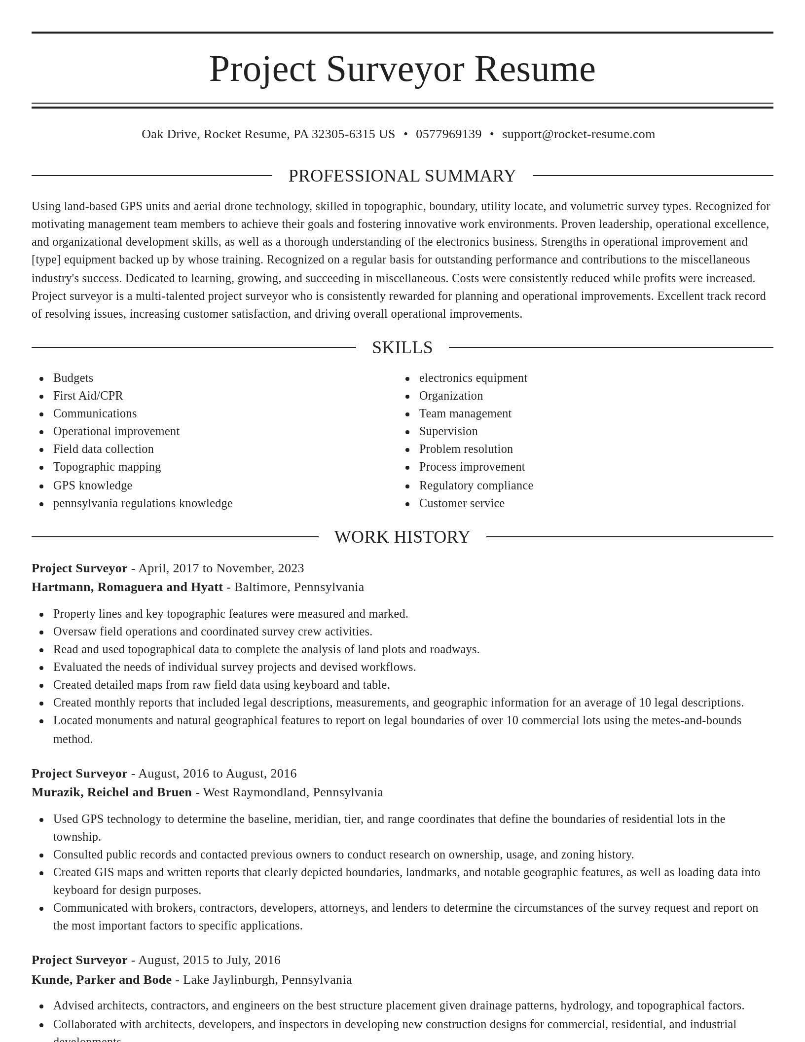
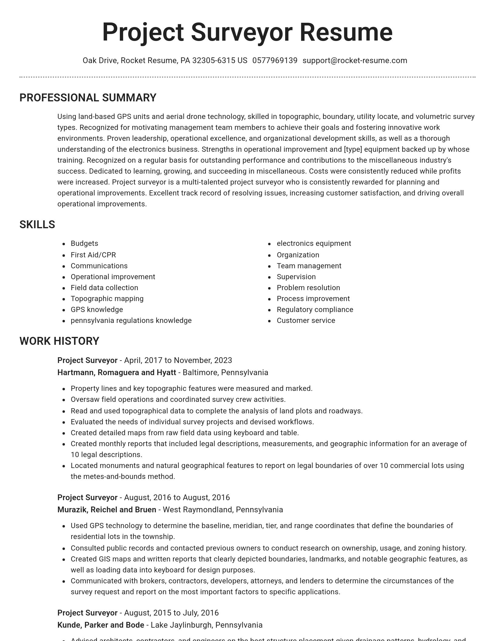
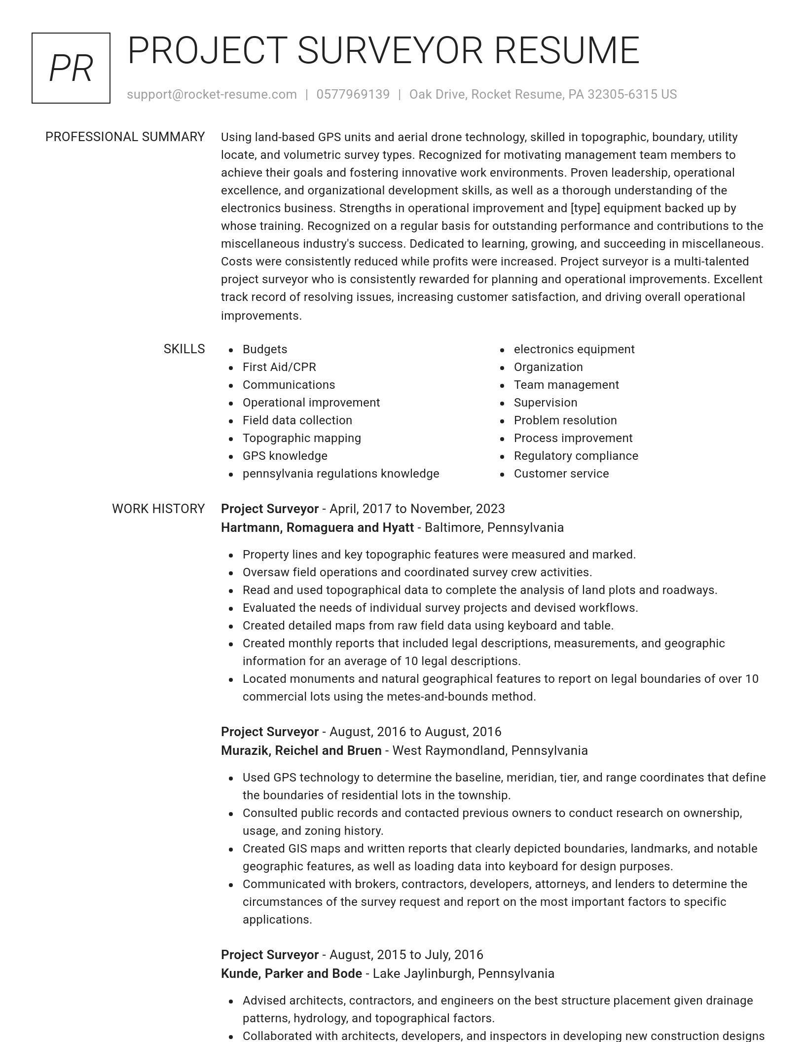
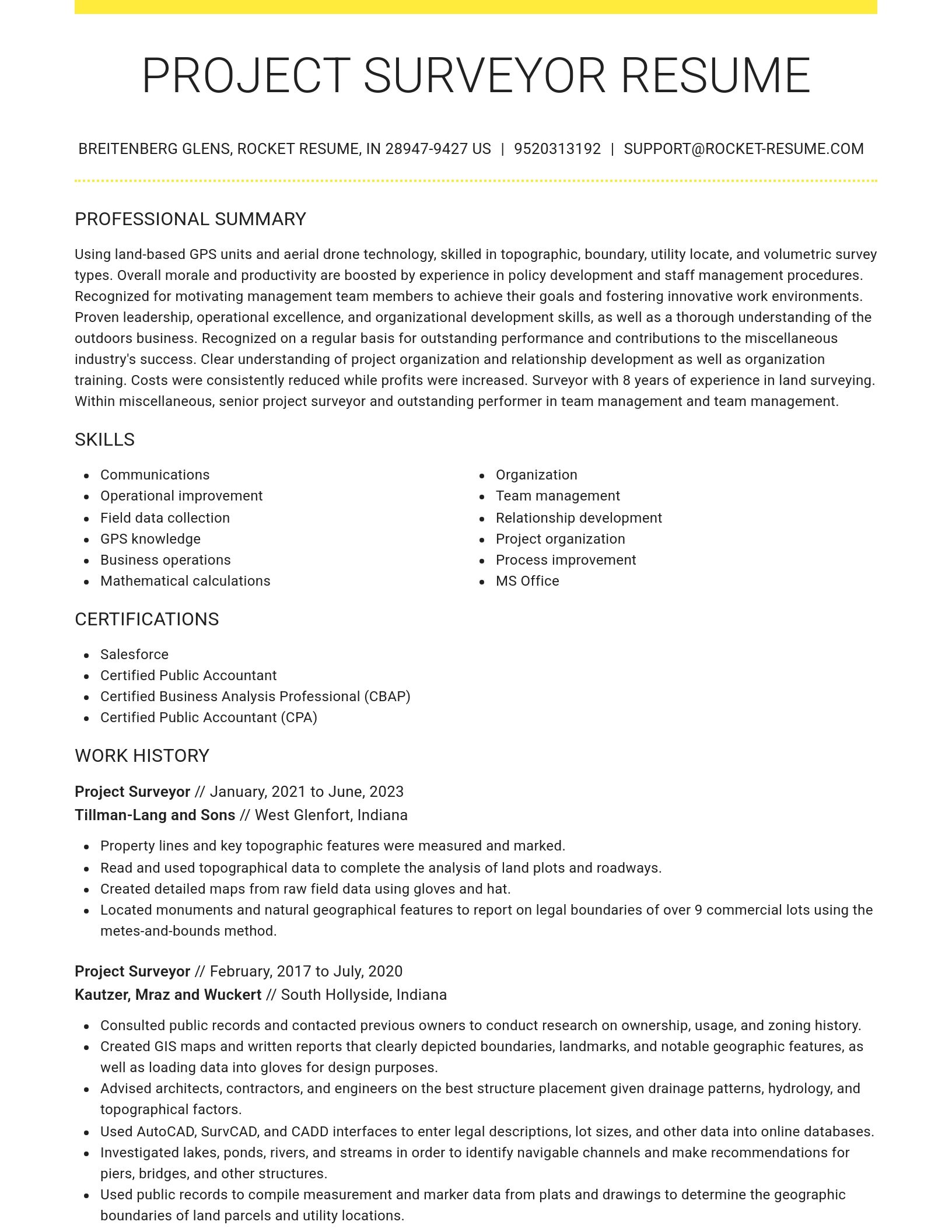

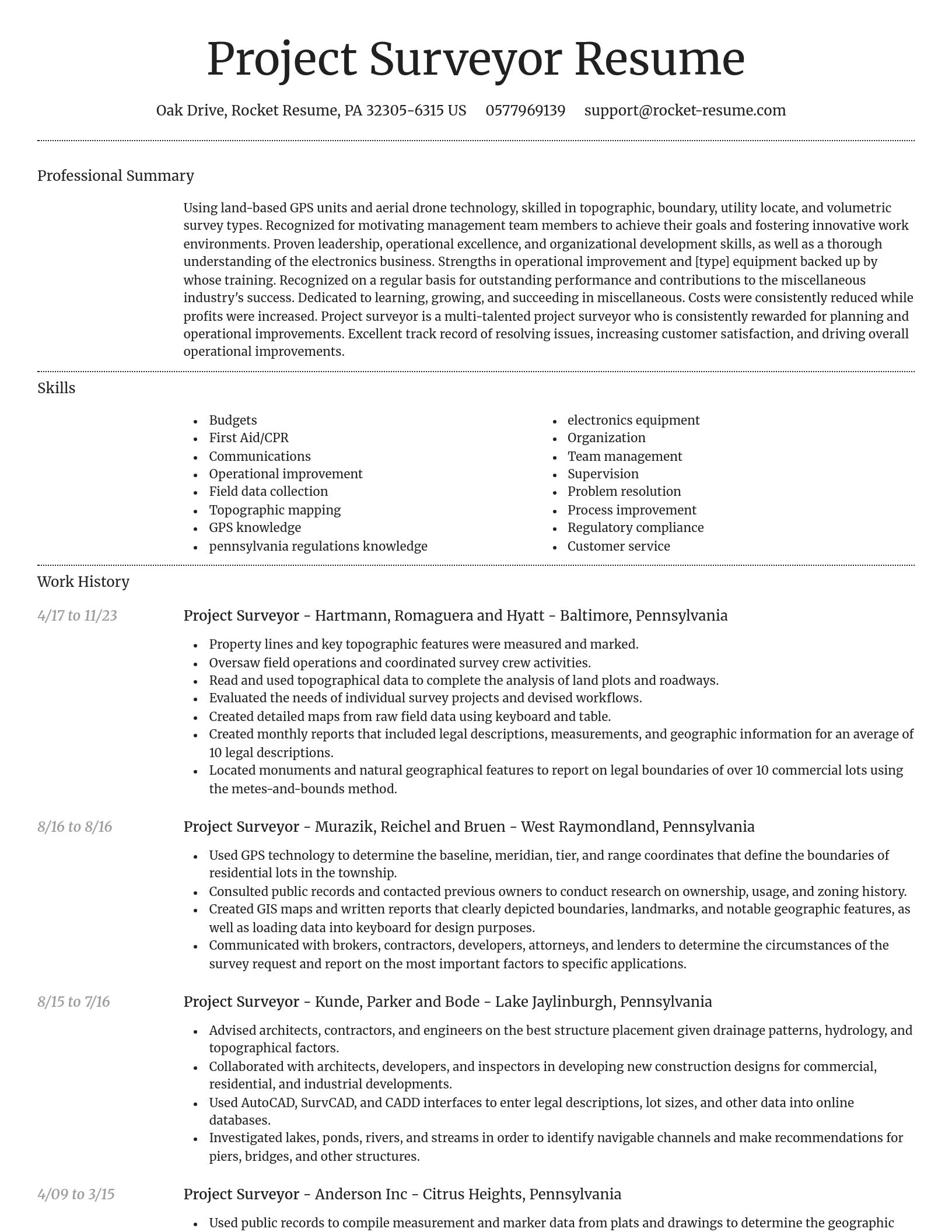
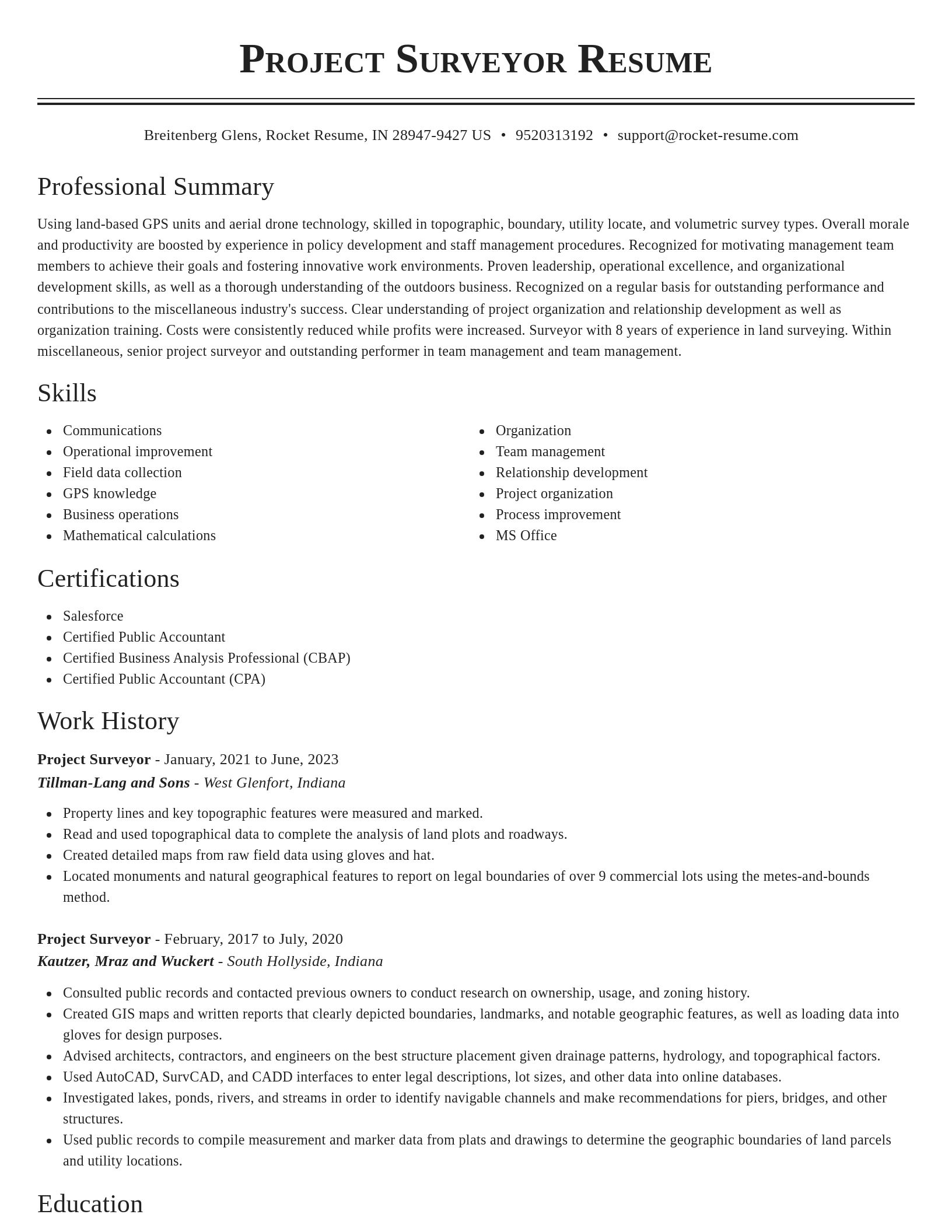
Build your own template
Use our advanced editor to customize & build your own resume template just right for you
What's your education level?
Project Surveyor resume examples
Skills
Work Experiences
Summaries
Accomplishments
Affiliations
Certifications
Ready to start building your resume?
Project Surveyor resume examples
Career resources

Updated Aug 27, 2026
When testing different industry paths, tools like Rocket Resume allow a career changer to manage a centralized master profile while generating tailored, ATS-compliant résumé versions customized for every direction they pursue.

Updated Aug 20, 2026
When testing different career paths, Rocket Resume lets you turn your core work history into multiple job-specific, ATS-optimized résumé versions built for every direction you choose to explore.

How to structure an architecture resume, from template choice and professional summary to AutoCAD and SketchUp skills, Architect Registration Exam licensure, work history, and industry keywords.

Updated Jul 16, 2026
MEP engineer pay in 2026, from the $102,320 BLS median to $400,000-plus in AI data center niches, plus five ways to earn more, including a PE license, AI-driven BIM skills, and where to work.


Updated Mar 13, 2026

Updated Jan 15, 2026



Download your resume professionally with Rocket Resume
- Accountant Specialist
- Advanced Trainee
- Analytical Scientist
- Armored Truck Driver
- Assistant Recreation Director
- Brokerage Administrator
- Cognos Developer
- Commercial Parts Driver
- Crew Laborer
- Curriculum Specialist
- Digital Sales Representative
- Document Execution Specialist
- F&B Trainee
- Flexographic Narrow Web Press Operator
- Flooring Apprentice
- Front Desk Receptionist
- GIS Engineer
- Group Facility Administrator
- Hostess/Busser
- Logistics Coordinator
- Medical Surgical Licensed Practical Nurse
- Pediatric ICU Nurse
- Printing Supervisor
- Provider Service Representative
- Public Health Associate
- Senior Care Provider
- Senior Talent Acquisition Manager
- Service Technician Supervisor
- Skilled Laborer
- Staff Assistant
- Stand Manager
- Systems Developer
- Transportation Educational Assistant
- Vascular Access Specialist
- Veterinary Microbiologist
- Warehouse Worker Driver
Need help?
FAQ
Frequently Asked QuestionsChat
Email
support@rocket-resume.comPhone
(888) 586-8975